Marlpit Copse
Wood, Forest in Devon East Devon
England
Marlpit Copse

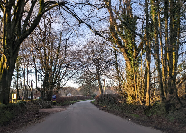
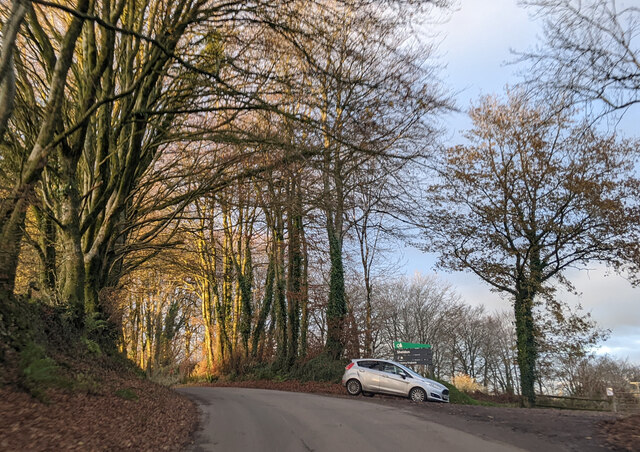
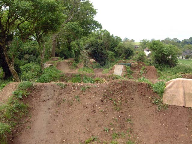
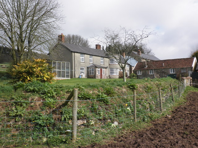
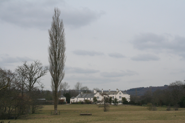
Marlpit Copse is a picturesque woodland located in the county of Devon, England. It covers an area of approximately 50 acres and is known for its diverse range of flora and fauna. The copse is situated in a rural area, surrounded by rolling hills and meadows, creating a tranquil and serene environment.
The woodland is primarily composed of deciduous trees such as oak, beech, and ash, which create a dense canopy, providing shade and shelter for a variety of wildlife. The forest floor is covered with a thick layer of leaf litter, creating a rich habitat for small mammals, insects, and fungi.
Marlpit Copse is home to a wide range of animal species, including deer, squirrels, badgers, and a variety of bird species. It serves as an important habitat and breeding ground for many native and migratory birds, making it a popular spot for birdwatchers.
Visitors to the copse can enjoy a network of well-maintained footpaths that wind through the woodland, offering scenic views and opportunities for peaceful walks. The dense vegetation and natural beauty of Marlpit Copse make it an ideal location for nature enthusiasts, photographers, and those seeking a peaceful escape from the hustle and bustle of everyday life.
The copse is managed by local conservation organizations, who work to maintain its natural integrity and protect its wildlife. They also organize educational programs and guided walks to raise awareness about the importance of preserving natural habitats.
Overall, Marlpit Copse is a beautiful and ecologically important woodland, offering visitors a chance to immerse themselves in nature and experience the tranquility of the Devon countryside.
If you have any feedback on the listing, please let us know in the comments section below.
Marlpit Copse Images
Images are sourced within 2km of 50.84287/-3.2758118 or Grid Reference ST1005. Thanks to Geograph Open Source API. All images are credited.


Marlpit Copse is located at Grid Ref: ST1005 (Lat: 50.84287, Lng: -3.2758118)
Administrative County: Devon
District: East Devon
Police Authority: Devon and Cornwall
What 3 Words
///harmonica.horses.grower. Near Dunkeswell, Devon
Nearby Locations
Related Wikis

Broadhembury
Broadhembury is a village and civil parish in the East Devon district of Devon, England, 5 miles (8 km) north-west of Honiton.The civil parish includes...
The Grange, Broadhembury
The Grange is a historic estate in the parish of Broadhembury in Devon, England. The surviving 16th-century mansion house (known as The Grange) is listed...

Hembury
Hembury is a Neolithic causewayed enclosure and Iron Age hillfort near Honiton in Devon. Its history stretches from the late fifth and early fourth millennia...

Orway
Orway is a small hamlet, approximately 1.5 miles squared, situated just on the edge of the Blackdown Hills in Devon, United Kingdom. It is located in the...

Kerswell Priory
Kerswell Priory (alias Carswell) was a small Cluniac priory in the parish of Broadhembury in Devon, England. == History == According to the Ecclesiastical...
Bodmiscombe
Bodmiscombe is a village in Devon, England. == External links == Media related to Bodmiscombe at Wikimedia Commons

Blackborough, Devon
Blackborough is a hamlet and former manor in the parish of Kentisbeare, Devon, England. It is situated within the Mid Devon district. The nearest substantial...

Sheldon, Devon
Sheldon is a village and civil parish in the East Devon district of the county of Devon in England. It is located in the Blackdown Hills, 6.5 miles (10...
Nearby Amenities
Located within 500m of 50.84287,-3.2758118Have you been to Marlpit Copse?
Leave your review of Marlpit Copse below (or comments, questions and feedback).