Harrot Hill

Hill, Mountain in Cumberland Allerdale

England

Harrot Hill

Ellerbeck Brow, Brigham, near Cockermouth Ellerbeck Brow is a minor road entering the village of Brigham in Cumbria.
Ellerbeck Brow, Brigham, near Cockermouth Credit: Malc McDonald

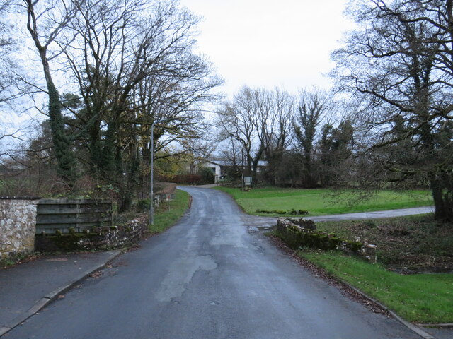
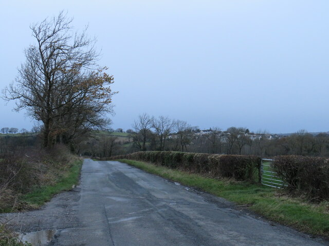
Harrot Hill is a prominent hill located in the county of Cumberland, in the northwestern region of England. Standing at an elevation of approximately 354 meters (1,161 feet), it is considered one of the smaller hills in the area. Despite its modest size, Harrot Hill offers breathtaking panoramic views of the surrounding countryside and is a popular destination for locals and tourists alike.

Situated within the Lake District National Park, Harrot Hill is surrounded by picturesque rolling hills, lush green valleys, and tranquil lakes. Its location within this stunning natural landscape makes it an ideal spot for outdoor activities such as hiking, walking, and birdwatching.

The hill itself features a mix of grassy slopes and rocky outcrops, providing a diverse terrain for exploration. The summit of Harrot Hill offers a fantastic vantage point, allowing visitors to take in the beauty of the Lake District and the nearby peaks of Skiddaw and Blencathra.

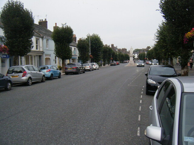
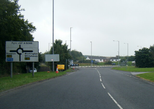
Access to Harrot Hill is relatively easy, with several footpaths and trails leading to the summit from nearby villages and towns. The hill is also located close to the popular tourist destinations of Keswick and Cockermouth, making it a convenient stop for those exploring the area.

Overall, Harrot Hill is a charming and accessible hill in Cumberland, offering stunning views and a chance to immerse oneself in the natural beauty of the Lake District.

If you have any feedback on the listing, please let us know in the comments section below.
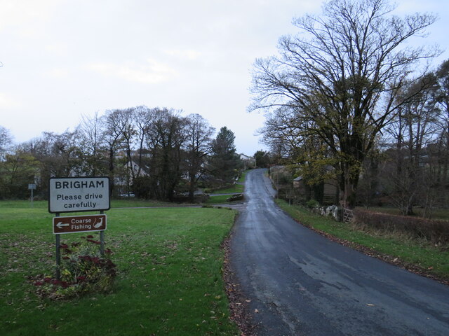
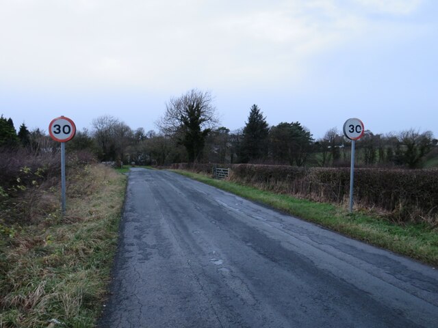
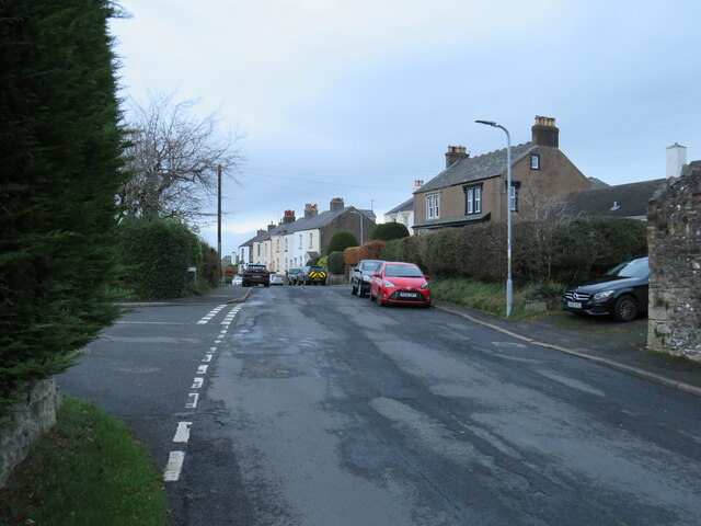
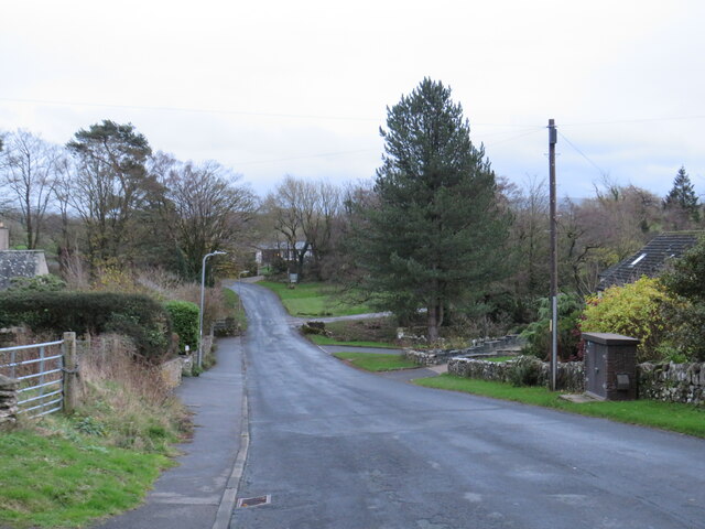
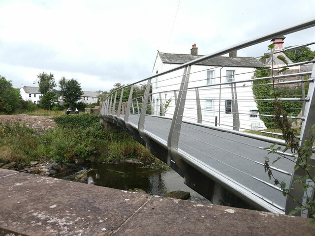
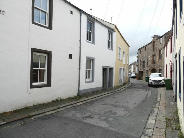
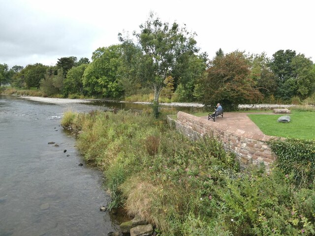
Harrot Hill Images

Images are sourced within 2km of 54.655303/-3.3847647 or Grid Reference NY1029. Thanks to Geograph Open Source API. All images are credited.

Ellerbeck Brow, Brigham, near Cockermouth Ellerbeck Brow is a minor road entering the village of Brigham in Cumbria.
Ellerbeck Brow, Brigham, near Cockermouth
Ellerbeck Brow is a minor road entering the village of Brigham in Cumbria.
Brigham Road, near Cockermouth Brigham Road is a minor road leading to the village of Brigham, in Cumbria.  Here, the speed limit changes to 30 miles per hour through the village ahead.
Brigham Road, near Cockermouth
Brigham Road is a minor road leading to the village of Brigham, in Cumbria. Here, the speed limit changes to 30 miles per hour through the village ahead.
Brigham, near Cockermouth The village of Brigham lies approximately two miles west of Cockermouth, in Cumbria.
Brigham, near Cockermouth
The village of Brigham lies approximately two miles west of Cockermouth, in Cumbria.
Ellerbeck Brow, Brigham, near Cockermouth Ellerbeck Brow is a minor road leading out of the village of Brigham, in Cumbria.
Ellerbeck Brow, Brigham, near Cockermouth
Ellerbeck Brow is a minor road leading out of the village of Brigham, in Cumbria.
Ellerbeck Brow, Brigham, near Cockermouth Ellerbeck Brow is a minor road leading out of the village of Brigham in Cumbria.  Here the road crosses Eller Beck, a small stream.
Ellerbeck Brow, Brigham, near Cockermouth
Ellerbeck Brow is a minor road leading out of the village of Brigham in Cumbria. Here the road crosses Eller Beck, a small stream.
Brigham Road, near Cockermouth Brigham Road is a minor road in Cumbria.  It leads to the village of Brigham, visible on the hillside in the distance.
Brigham Road, near Cockermouth
Brigham Road is a minor road in Cumbria. It leads to the village of Brigham, visible on the hillside in the distance.
Entering Eaglesfield from the East Looking along the minor country road which becomes the main street through Eaglesfield. The small village is located to the south west of Cockermouth.
Entering Eaglesfield from the East
Looking along the minor country road which becomes the main street through Eaglesfield. The small village is located to the south west of Cockermouth.
Entrance into Hollins Farm, Eaglesfield Looking through the gate into the steading of Hollins Farm on the outskirts of Eaglesfield. The sun has broken through a small gap in the clouds and is reflecting off the wet concrete of the farmyard.
Entrance into Hollins Farm, Eaglesfield
Looking through the gate into the steading of Hollins Farm on the outskirts of Eaglesfield. The sun has broken through a small gap in the clouds and is reflecting off the wet concrete of the farmyard.
The drive to Dubbs Farm
Main Street, Cockermouth
The Towers, Cockermouth 19th Century house, divided into two apartments.
The Towers, Cockermouth
19th Century house, divided into two apartments.
A5086 nearing Lamplugh Roundabout
A66 at Simonscales Lane overbridge
River Derwent at Cockermouth In the middle distance, the confluence <a href="https://www.geograph.org.uk/gridref/NY1230">NY1230</a> of the Cocker (to the right) with the Derwent. Jennings Brewery beyond.
River Derwent at Cockermouth
In the middle distance, the confluence NY1230 of the Cocker (to the right) with the Derwent. Jennings Brewery beyond.
Miller's Bridge over the River Derwent Looking towards town. The bridge was opened by HRH the Princess Royal in July 2010.
Miller's Bridge over the River Derwent
Looking towards town. The bridge was opened by HRH the Princess Royal in July 2010.
Brewery Lane footbridge Lowest bridge over the River Cocker.
Brewery Lane footbridge
Lowest bridge over the River Cocker.
Waterloo Street The houses on the right back on to the River Derwent.
Waterloo Street
The houses on the right back on to the River Derwent.
Confluence  of the River Cocker with the River Derwent A small public park where the Cocker (nearest camera) flows into the Derwent.
Confluence of the River Cocker with the River Derwent
A small public park where the Cocker (nearest camera) flows into the Derwent.
Show me another place!

Harrot Hill is located at Grid Ref: NY1029 (Lat: 54.655303, Lng: -3.3847647)

Administrative County: Cumbria

District: Allerdale

Police Authority: Cumbria

What 3 Words

///skimmers.subtitle.thatched. Near Cockermouth, Cumbria

Related Wikis

Cockermouth railway station (Cockermouth and Workington Railway)

The original Cockermouth railway station was the eastern terminus of the Cockermouth & Workington Railway. It served the town of Cockermouth, Cumbria,...

Cockermouth railway station

Cockermouth railway station was situated on the Cockermouth, Keswick and Penrith Railway and served the town of Cockermouth, Cumbria, England. The station...
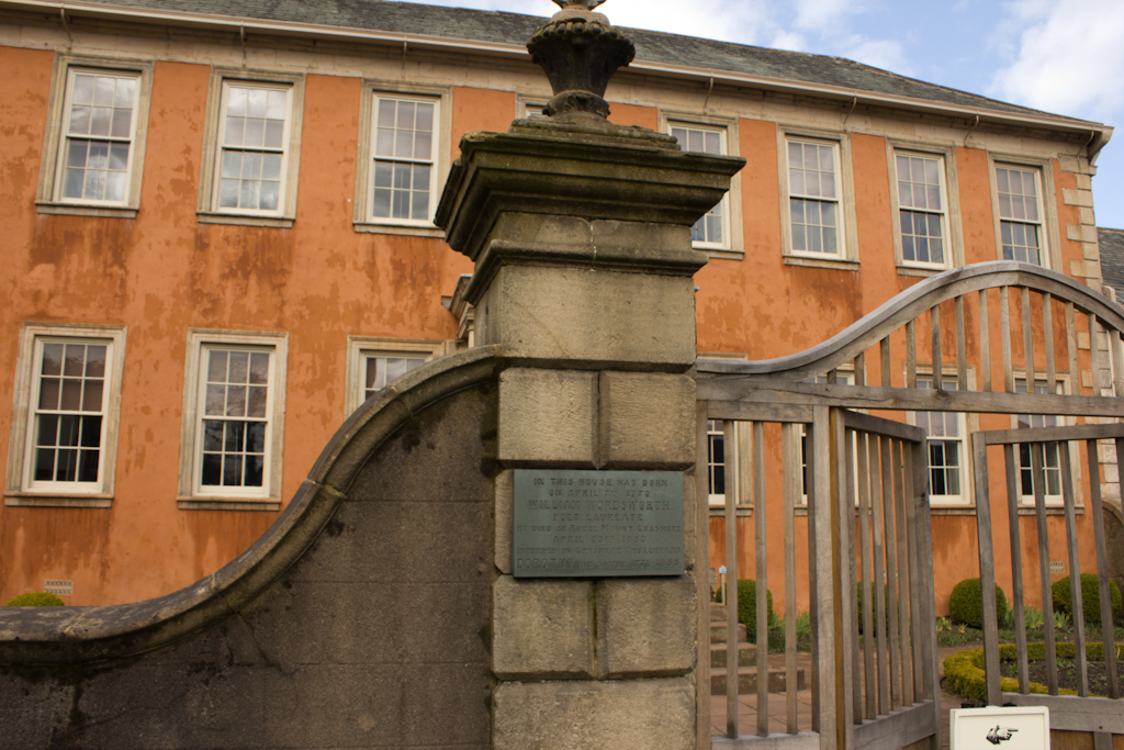
Wordsworth House

Wordsworth House is a Georgian townhouse situated in Cockermouth, Cumbria, England, and in the ownership of the National Trust. It was built in the mid...

Cockermouth Rural District

Cockermouth was a rural district in Cumberland, England, from 1894 to 1974. It was created by the Local Government Act 1894 based on Cockermouth rural...

Cockermouth United Reformed Church

Cockermouth United Reformed Church is a congregation first established at Cockermouth, England, in 1651. Originally known as Cockermouth Independent Church...
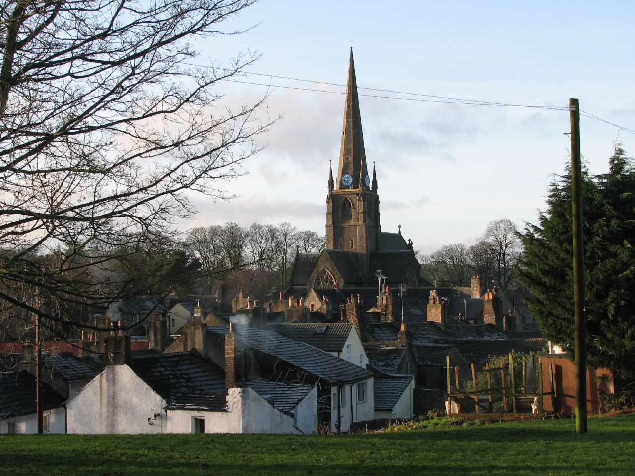
Cockermouth

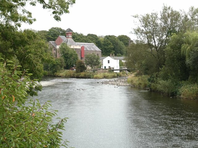
Cockermouth is a market town and civil parish in the Cumberland unitary area of Cumbria, England, so named because it is at the confluence of the River...

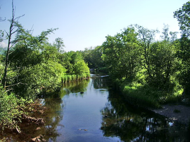
River Cocker, Cumbria

The River Cocker is a river in the Lake District in North West England, in the county of Cumbria. Its source is at the head of the Buttermere valley. It...

Papcastle

Papcastle is a village and civil parish in the borough of Allerdale in the English county of Cumbria. The village is now effectively a northern extension...

Nearby Amenities

Located within 500m of 54.655303,-3.3847647
Barrier: cycle_barrier
Cycle Barrier: tilted
Lat/Long: 54.658704/-3.3809054
Cafe
Wellington Farm Cafe & Tearoom
Addr City: Cockermouth
Addr Postcode: CA13 0QU
Addr Street: Lamplugh Road
Phone: +44 1900 822777
Website: https://www.wellingtonjerseys.co.uk/
Lat/Long: 54.6528873/-3.3840942
Barrier: stile
Lat/Long: 54.6558038/-3.3782685
Harrot Hill
Ele: 118
Natural: peak
Lat/Long: 54.6552542/-3.384387
Natural: spring
Lat/Long: 54.6590448/-3.3868039
Moor Park
Place: suburb
Lat/Long: 54.6584598/-3.3798061
Power: pole
Lat/Long: 54.6594843/-3.3861225
Power: pole
Lat/Long: 54.6594925/-3.3849577
Power: pole
Lat/Long: 54.6595183/-3.3829544
Power: pole
Lat/Long: 54.6595124/-3.3821806
Power: pole
Lat/Long: 54.658807/-3.3839854
Power: pole
Lat/Long: 54.6578802/-3.3827011
Power: pole
Lat/Long: 54.6571267/-3.3816235
Power: pole
Lat/Long: 54.6563393/-3.3805256
Power: pole
Lat/Long: 54.6556479/-3.37898
Power: pole
Lat/Long: 54.6550374/-3.377639
Power: pole
Lat/Long: 54.653306/-3.383875
Power: pole
Lat/Long: 54.6537138/-3.3837717
Power: pole
Lat/Long: 54.6541333/-3.3836603
Power: pole
Lat/Long: 54.6549513/-3.3834638
Power: pole
Lat/Long: 54.6557059/-3.3832633
Power: pole
Lat/Long: 54.6567957/-3.3829959
The data included in this document is from www.openstreetmap.org. The data is made available under ODbL.

Have you been to Harrot Hill?

Leave your review of Harrot Hill below (or comments, questions and feedback).