Becksies Wood
Wood, Forest in Cumberland Copeland
England
Becksies Wood
Becksies Wood is a picturesque woodland located in the county of Cumberland, England. Covering an area of approximately 100 acres, it is a tranquil oasis of natural beauty nestled within the stunning landscape of the Lake District National Park.
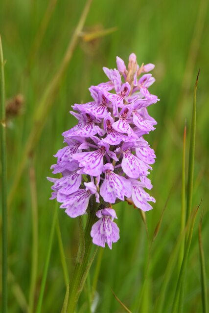
The woodland is predominantly composed of native tree species, including oak, beech, and birch, which create a dense canopy, providing shade and shelter for a diverse range of wildlife. The forest floor is adorned with a rich tapestry of wildflowers, ferns, and mosses, adding to its enchanting allure.
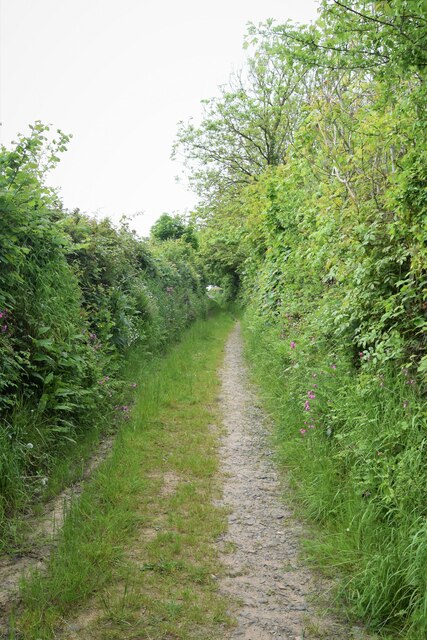
Becksies Wood is crisscrossed by a network of well-maintained footpaths, allowing visitors to explore its hidden treasures at their own pace. These winding trails lead to secluded clearings, babbling brooks, and small ponds, providing ample opportunities for relaxation and contemplation amidst nature.
Nature enthusiasts and birdwatchers will be delighted by the variety of avian species that call Becksies Wood home. From the melodic songs of thrushes and warblers to the fleeting glimpses of woodpeckers and owls, the woodland is a haven for birdlife.
The wood is managed sustainably, with periodic thinning and selective tree felling to maintain a healthy ecosystem and encourage the growth of new flora. This careful management ensures the longevity and vitality of the woodland.
Becksies Wood is not only a haven for nature lovers but also a cherished recreational space for local residents and visitors alike. Whether it's a leisurely stroll, a family picnic, or simply a moment of tranquility, the wood offers something for everyone seeking solace in the beauty of nature.
If you have any feedback on the listing, please let us know in the comments section below.
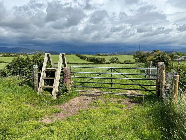
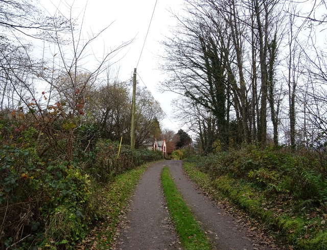
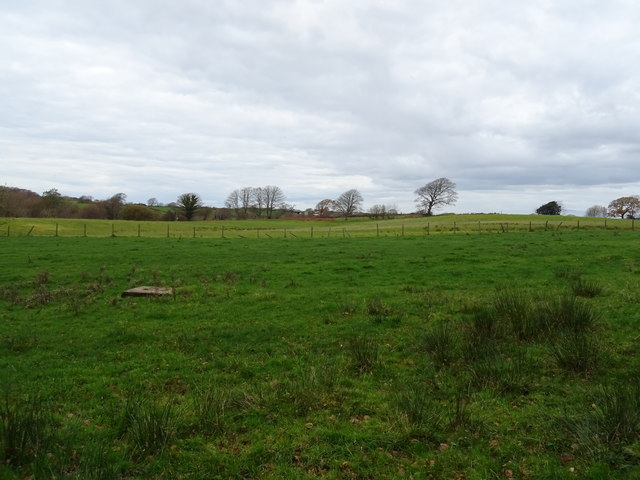
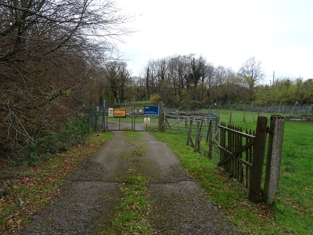
Becksies Wood Images
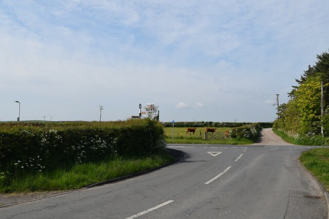
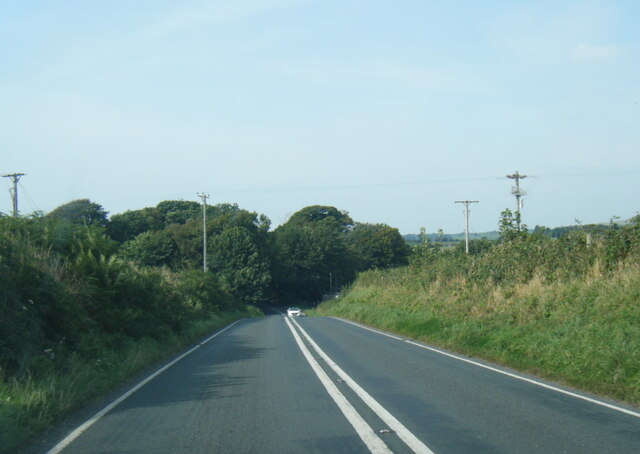
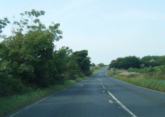
Images are sourced within 2km of 54.389389/-3.4206249 or Grid Reference NY0700. Thanks to Geograph Open Source API. All images are credited.


Becksies Wood is located at Grid Ref: NY0700 (Lat: 54.389389, Lng: -3.4206249)
Administrative County: Cumbria
District: Copeland
Police Authority: Cumbria
What 3 Words
///pedicure.fortunes.inflame. Near Seascale, Cumbria
Nearby Locations
Related Wikis

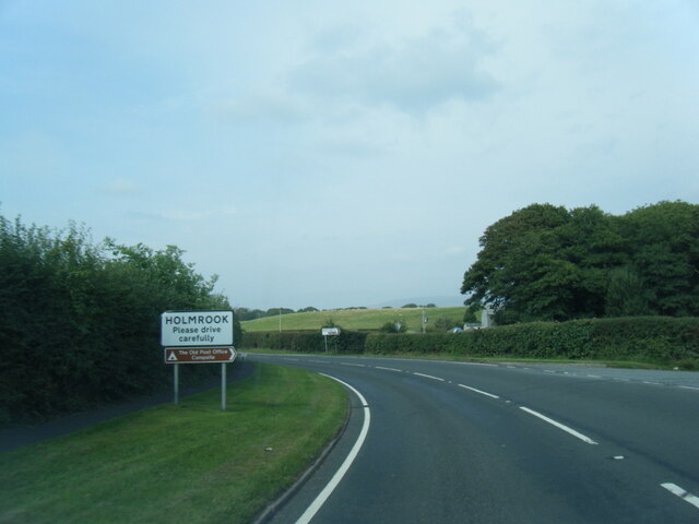
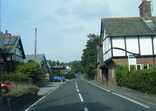
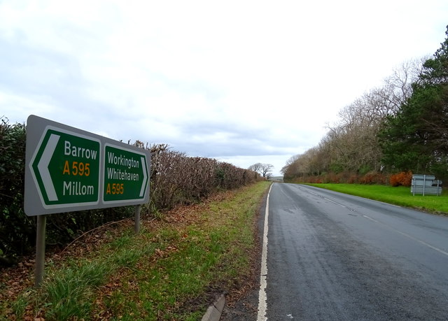
Holmrook
Holmrook is a linear village in the English county of Cumbria. It lies along the A595 road on the west banks of the River Irt. The B5344 road connects...

Irton Cross
Irton Cross is an Anglo-Saxon cross in the graveyard of St Paul's Church, in the parish of Irton with Santon, Cumbria, England. Dating from the early...

St Paul, Irton
St Paul, Irton is an active parish church in the civil parish of Irton with Santon, Cumbria, England. It is in the Calder Deanery of the Anglican diocese...
Drigg
Drigg is a village situated in the civil parish of Drigg and Carleton on the West Cumbria coast of the Irish Sea and on the boundary of the Lake District...
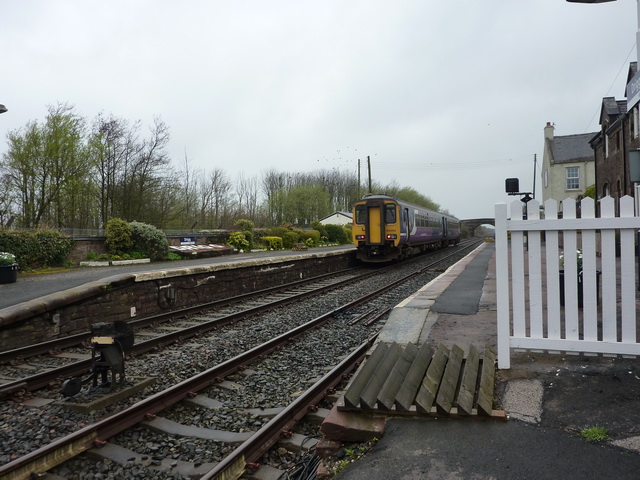
Drigg railway station
Drigg is a railway station on the Cumbrian Coast Line, which runs between Carlisle and Barrow-in-Furness. The station, situated 31 miles (50 km) north...

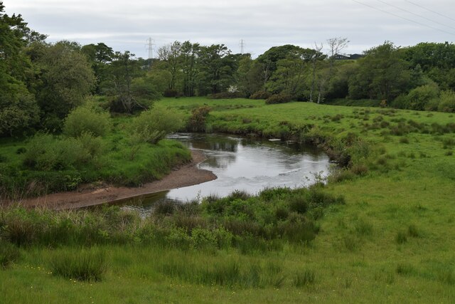
River Irt
The River Irt is a river in the county of Cumbria in northern England. It flows for 14 miles (22 km) from the south-western end of Wast Water, the deepest...
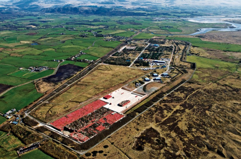
Low Level Waste Repository
The Low Level Waste Repository is the UK's central long-term store for low-level radioactive waste located on the West Cumbrian coast near Drigg village...

Muncaster Mill railway station
Muncaster Mill railway station is a railway station on the 15 in (381 mm) gauge Ravenglass & Eskdale Railway in Cumbria, England. The station is located...
Nearby Amenities
Located within 500m of 54.389389,-3.4206249Have you been to Becksies Wood?
Leave your review of Becksies Wood below (or comments, questions and feedback).