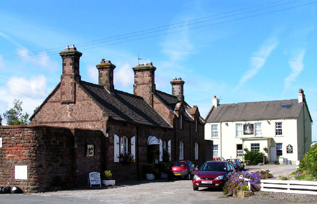
Greengarth Hall
Settlement in Cumberland Copeland
England
Greengarth Hall

Greengarth Hall is a historic country house located in the picturesque countryside of Cumberland, England. Situated amidst stunning gardens and lush greenery, the hall exudes a sense of timeless elegance and grandeur.
Originally built in the 17th century, Greengarth Hall has witnessed centuries of history and has been meticulously maintained, showcasing a beautiful blend of architectural styles. The hall features a classic Georgian façade, adorned with intricate stonework and large sash windows that flood the interior with natural light. The interior boasts high ceilings, ornate plasterwork, and grand fireplaces, all of which contribute to the hall's majestic ambiance.
Surrounded by expansive grounds, Greengarth Hall offers visitors a serene and peaceful retreat. The immaculately manicured gardens feature vibrant flower beds, ancient trees, and meandering pathways, providing ample opportunities for leisurely strolls and moments of reflection. The estate also includes a charming courtyard, where guests can relax and enjoy the idyllic surroundings.
Greengarth Hall has a rich history and has been associated with notable figures over the years. It has been lovingly restored and converted into a luxury hotel, allowing guests to experience the grandeur of a bygone era. With its elegant interiors, picturesque gardens, and warm hospitality, Greengarth Hall offers a truly enchanting experience for those seeking a taste of the English countryside's charm and heritage.
If you have any feedback on the listing, please let us know in the comments section below.
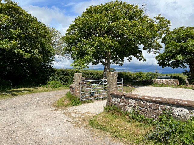
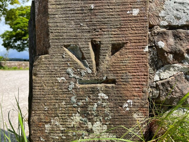
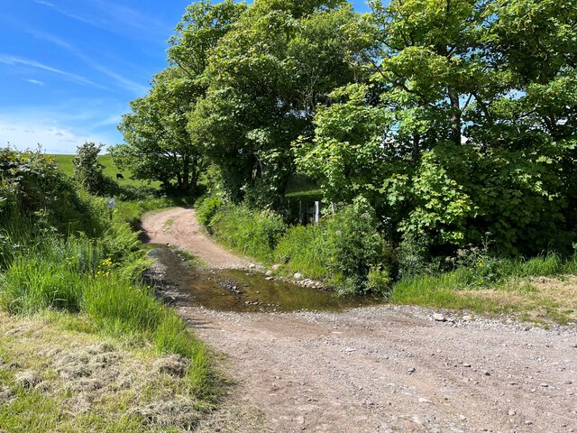
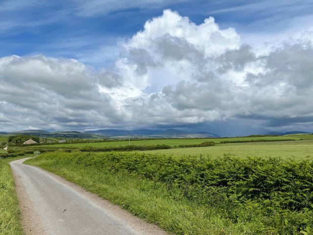
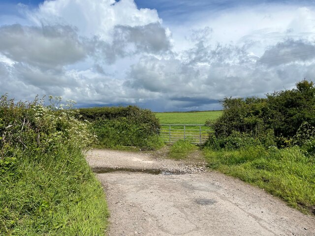
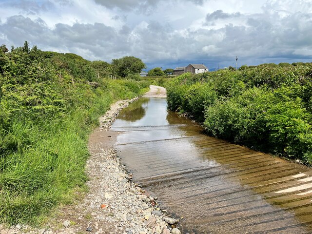
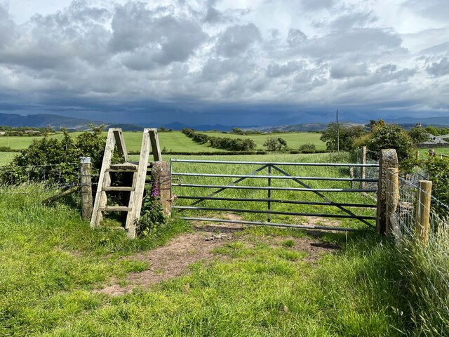
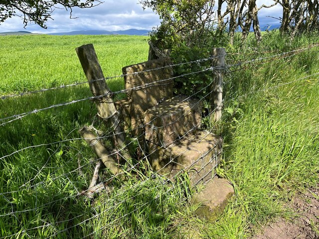
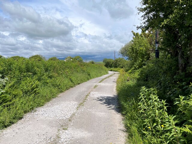
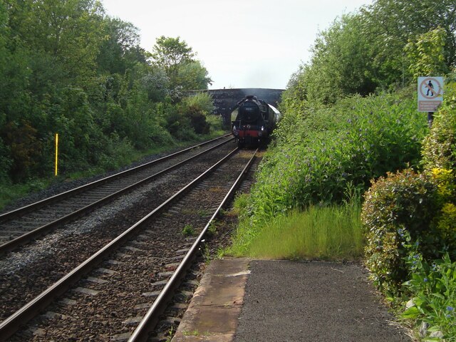
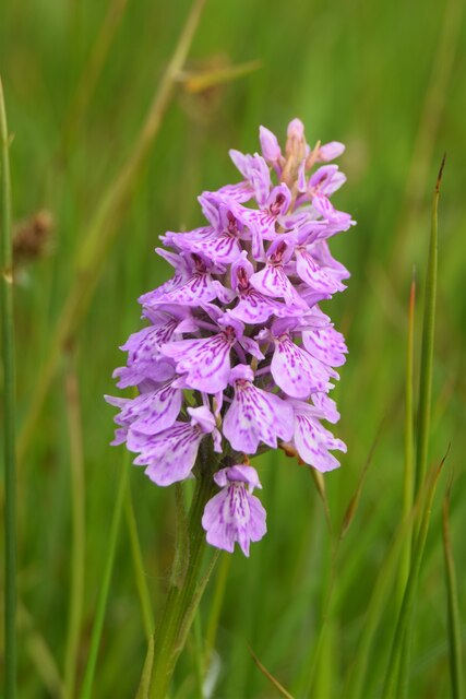
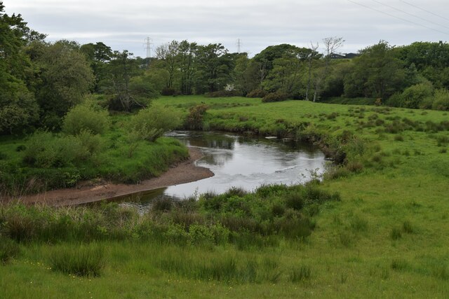
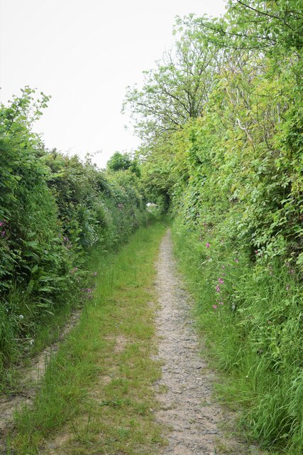
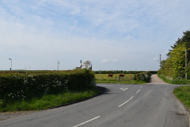
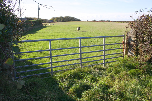
Greengarth Hall Images
Images are sourced within 2km of 54.386962/-3.4336001 or Grid Reference NY0700. Thanks to Geograph Open Source API. All images are credited.

Greengarth Hall is located at Grid Ref: NY0700 (Lat: 54.386962, Lng: -3.4336001)
Administrative County: Cumbria
District: Copeland
Police Authority: Cumbria
What 3 Words
///survivor.defers.pranced. Near Seascale, Cumbria
Nearby Locations
Related Wikis

Holmrook
Holmrook is a linear village in the English county of Cumbria. It lies along the A595 road on the west banks of the River Irt. The B5344 road connects...
Drigg
Drigg is a village situated in the civil parish of Drigg and Carleton on the West Cumbria coast of the Irish Sea and on the boundary of the Lake District...
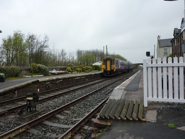
Drigg railway station
Drigg is a railway station on the Cumbrian Coast Line, which runs between Carlisle and Barrow-in-Furness. The station, situated 31 miles (50 km) north...
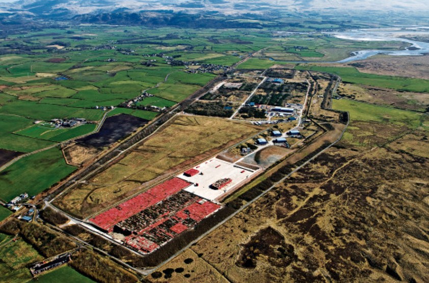
Low Level Waste Repository
The Low Level Waste Repository is the UK's central long-term store for low-level radioactive waste located on the West Cumbrian coast near Drigg village...
Nearby Amenities
Located within 500m of 54.386962,-3.4336001Have you been to Greengarth Hall?
Leave your review of Greengarth Hall below (or comments, questions and feedback).