Irton with Santon
Civil Parish in Cumberland Copeland
England
Irton with Santon
Irton with Santon is a civil parish located in the county of Cumberland, in the northwest region of England. Situated in the scenic Lake District National Park, the parish covers an area of approximately 18 square kilometers and is home to a population of around 500 residents.
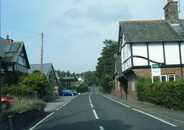
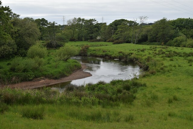
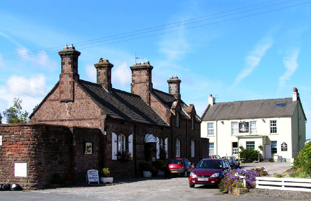
The parish is composed of two smaller villages, Irton and Santon, which are surrounded by picturesque countryside and rolling hills. Irton, the larger of the two villages, is located on the western edge of the River Irt and features a charming mix of traditional Cumbrian architecture. Santon, on the other hand, lies to the southeast of Irton and offers a more rural setting with its scattered farmhouses and cottages.
The parish boasts a rich history, with evidence of human settlements dating back to the Roman era. It is also known for its connection to the famous literary figure, William Wordsworth, who frequently visited the area and found inspiration in its natural beauty.
The economy of Irton with Santon is largely based on agriculture, with farming and livestock rearing being the primary sources of income for many residents. The parish is also a popular destination for outdoor enthusiasts, as it offers numerous hiking trails, fishing spots, and opportunities for wildlife observation.
In terms of amenities, the parish has a village hall that serves as a community center, hosting various events and gatherings throughout the year. Additionally, there is a primary school in Irton, ensuring educational facilities for the local children.
Overall, Irton with Santon is a tranquil and picturesque civil parish that offers a close-knit community, stunning landscapes, and a glimpse into Cumbria's rural heritage.
If you have any feedback on the listing, please let us know in the comments section below.
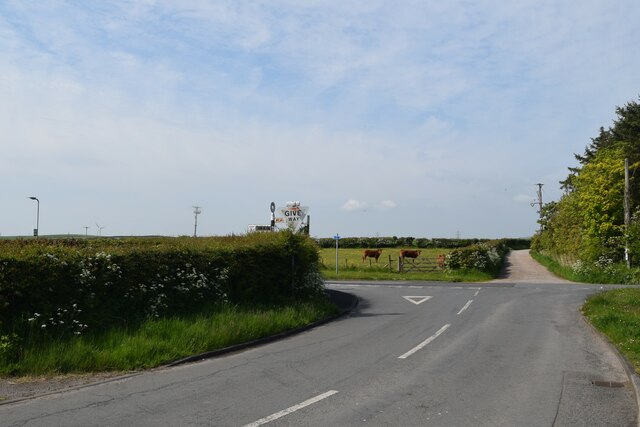
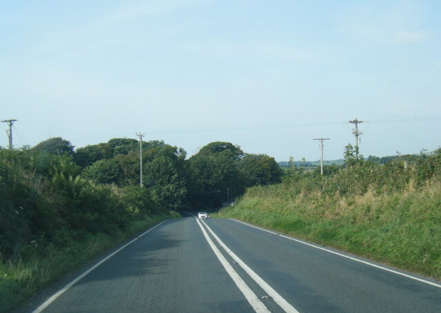
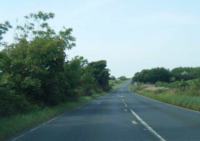
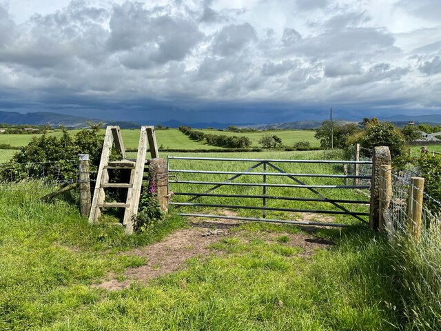
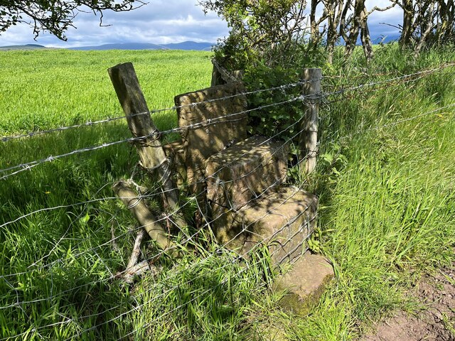
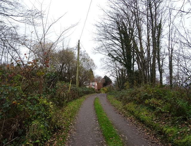
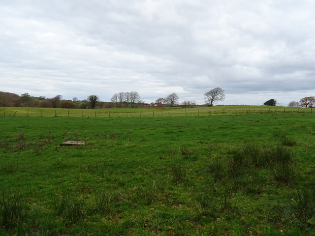
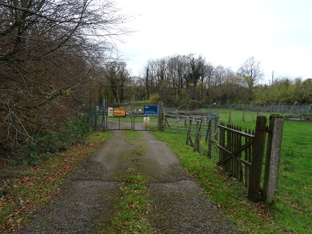
Irton with Santon Images
Images are sourced within 2km of 54.392853/-3.422268 or Grid Reference NY0700. Thanks to Geograph Open Source API. All images are credited.


Irton with Santon is located at Grid Ref: NY0700 (Lat: 54.392853, Lng: -3.422268)
Administrative County: Cumbria
District: Copeland
Police Authority: Cumbria
What 3 Words
///rejoins.exile.emptied. Near Seascale, Cumbria
Nearby Locations
Related Wikis

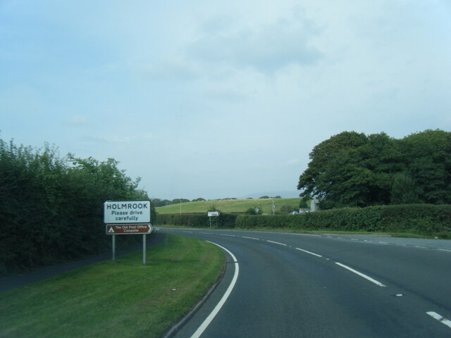
Holmrook
Holmrook is a linear village in the English county of Cumbria. It lies along the A595 road on the west banks of the River Irt. The B5344 road connects...

St Paul, Irton
St Paul, Irton is an active parish church in the civil parish of Irton with Santon, Cumbria, England. It is in the Calder Deanery of the Anglican diocese...

Irton Cross
Irton Cross is an Anglo-Saxon cross in the graveyard of St Paul's Church, in the parish of Irton with Santon, Cumbria, England. Dating from the early...
Drigg
Drigg is a village situated in the civil parish of Drigg and Carleton on the West Cumbria coast of the Irish Sea and on the boundary of the Lake District...
Nearby Amenities
Located within 500m of 54.392853,-3.422268Have you been to Irton with Santon?
Leave your review of Irton with Santon below (or comments, questions and feedback).