Potter's Copse
Wood, Forest in Somerset Somerset West and Taunton
England
Potter's Copse

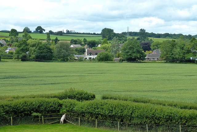
Potter's Copse is a picturesque wood located in the county of Somerset, England. Situated near the village of Potterne, the copse is a beautiful and tranquil haven for nature enthusiasts and visitors seeking a peaceful retreat.
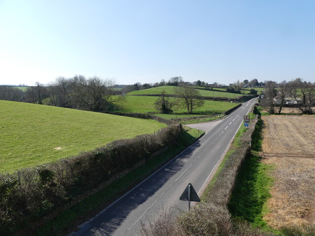
Covering an area of approximately 50 acres, Potter's Copse features a diverse range of tree species, including oak, beech, and ash. The wood is characterized by its dense canopy, which provides shelter and creates a cool, shaded environment. The forest floor is carpeted with a variety of wildflowers, adding vibrant splashes of color to the landscape.
The copse is crisscrossed by a network of well-maintained walking trails, allowing visitors to explore its natural wonders at their own pace. These paths wind through the wood, offering glimpses of wildlife such as deer, squirrels, and a wide array of bird species. The abundance of birdlife makes the copse a popular spot for birdwatching enthusiasts.
Potter's Copse is not only a haven for flora and fauna but also a significant historical site. It is believed that the area has been wooded since ancient times, providing an important resource for the local community throughout history.
Today, the copse is managed by the local authorities, who ensure its preservation and accessibility for the public. Visitors can enjoy the wood's natural beauty, engage in recreational activities such as picnicking or photography, or simply find solace in the peaceful ambiance of this enchanting forest. Potter's Copse is truly a gem of Somerset, offering a serene escape from the hustle and bustle of everyday life.
If you have any feedback on the listing, please let us know in the comments section below.
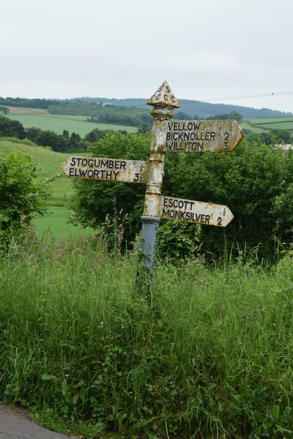
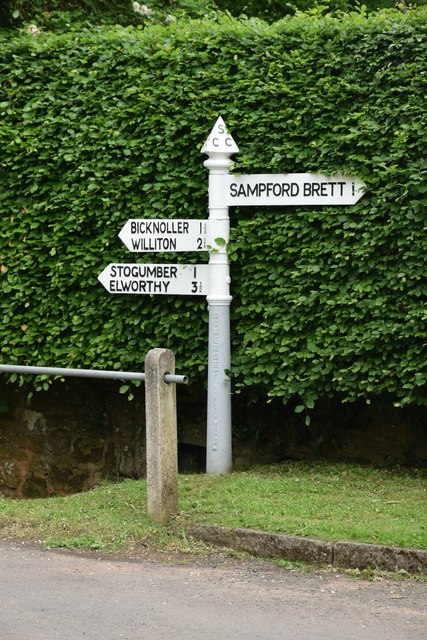
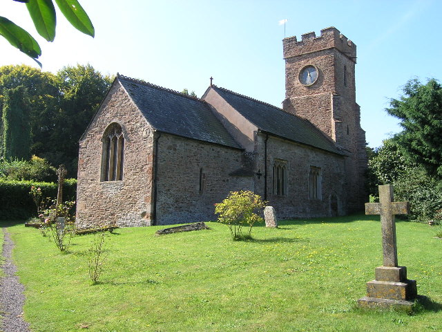
Potter's Copse Images
Images are sourced within 2km of 51.143332/-3.3189894 or Grid Reference ST0739. Thanks to Geograph Open Source API. All images are credited.


Potter's Copse is located at Grid Ref: ST0739 (Lat: 51.143332, Lng: -3.3189894)
Administrative County: Somerset
District: Somerset West and Taunton
Police Authority: Avon and Somerset
What 3 Words
///daydream.dweller.lengthen. Near Williton, Somerset
Nearby Locations
Related Wikis
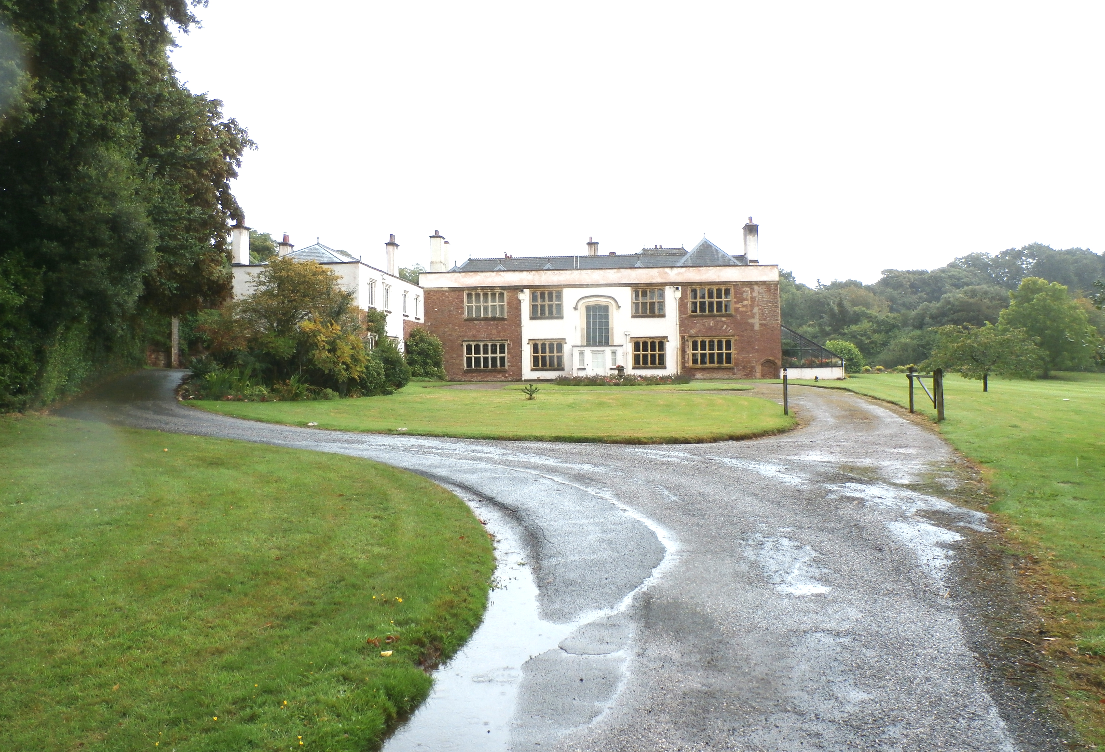
Orchard Wyndham
Orchard Wyndham is a historic manor near Williton in Somerset, centred on the synonymous grade I listed manor house of Orchard Wyndham that was situated...
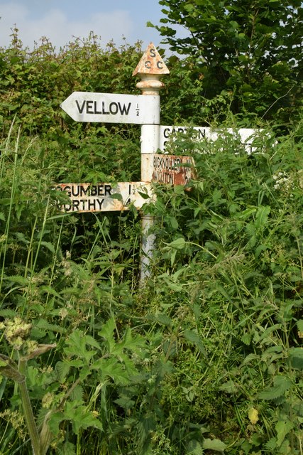
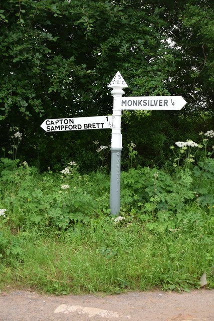
Monksilver
Monksilver is a village 3 miles (5 km) west of the town of Williton in Somerset, England, on the eastern flank of the Brendon Hills and the border of the...
Sampford Brett
Sampford Brett is a village and civil parish situated at the south-western edge of the Quantock Hills, Somerset, England, less than 1 mile (1.6 km) south...
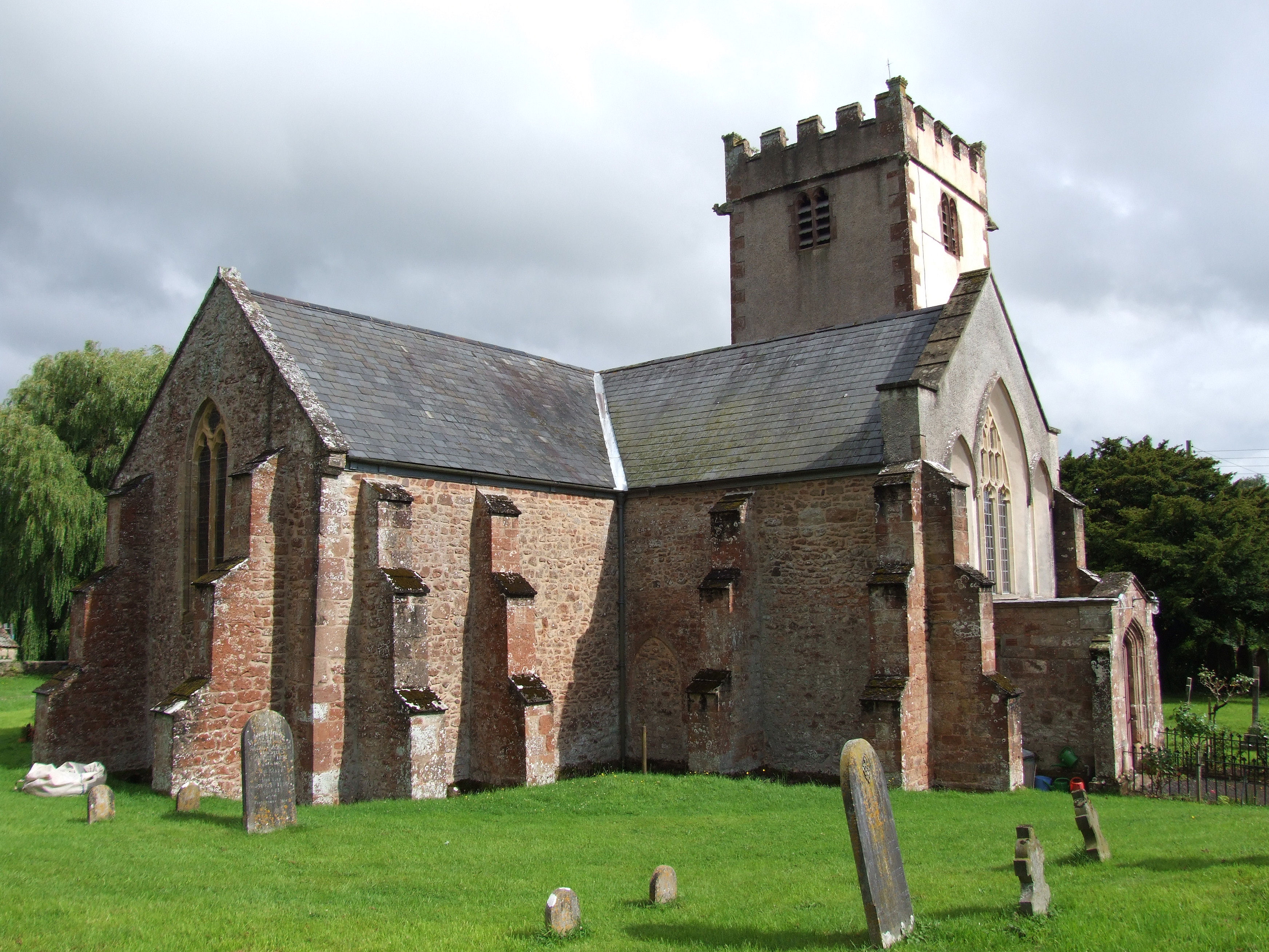
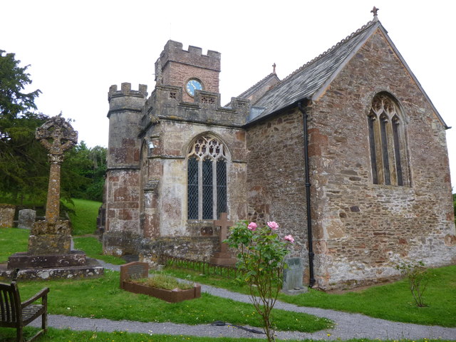
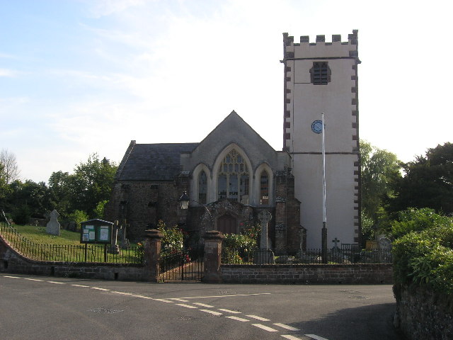
Church of St George, Sampford Brett
The Anglican Church of St George in Sampford Brett, Somerset, England was built around 1300. It is a Grade II* listed building. == History == The parish...

Bridgwater and West Somerset (UK Parliament constituency)
Bridgwater and West Somerset is a constituency represented in the House of Commons of the UK Parliament since 2010 by Ian Liddell-Grainger, a Conservative...

Curdon Camp
Curdon Camp is a univallate Iron Age hill fort in the West Somerset district of Somerset, England. It is a Scheduled Ancient Monument.The hill fort is...

Stogumber
Stogumber () is a village and civil parish in Somerset, England, on the eastern flank of the Brendon Hills. Besides Stogumber village itself, the parish...

Nettlecombe, Somerset
Nettlecombe is a civil parish in the English county of Somerset. The parish covers a rural area below the Brendon Hills, comprising the small hamlets of...
Nearby Amenities
Located within 500m of 51.143332,-3.3189894Have you been to Potter's Copse?
Leave your review of Potter's Copse below (or comments, questions and feedback).