Annochie

Settlement in Aberdeenshire

Scotland

Annochie

Formartine and Buchan  Way The railway crossed the Ebrie Burn here. It closed in 1979 and now the trackbed is a cycle path and farm access track.
Formartine and Buchan Way Credit: Richard Webb

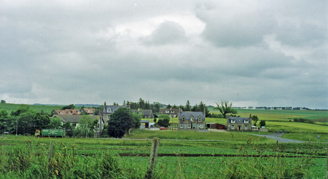
Annochie is a charming village situated in Aberdeenshire, Scotland. Nestled amidst picturesque landscapes and rolling hills, it offers a serene and idyllic setting for residents and visitors alike. Located approximately 10 miles west of the city of Aberdeen, Annochie benefits from its proximity to urban amenities while retaining a peaceful rural atmosphere.

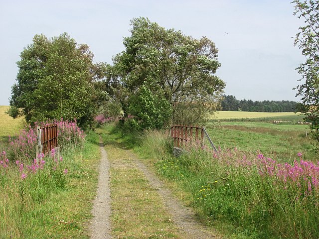
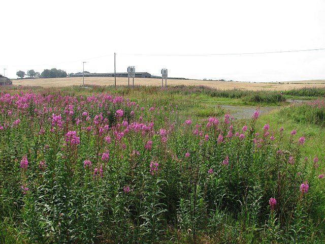
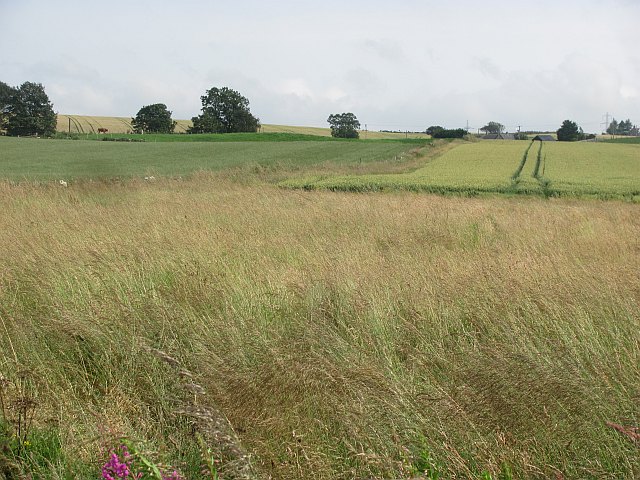
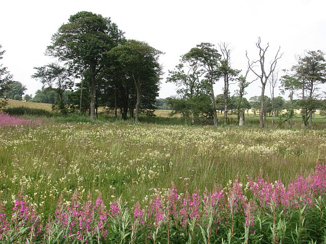
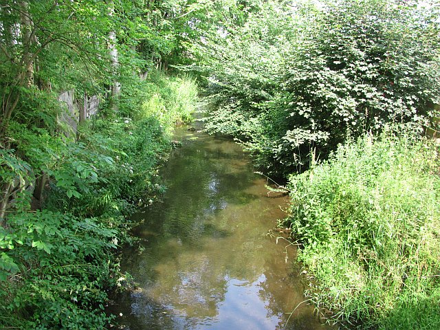
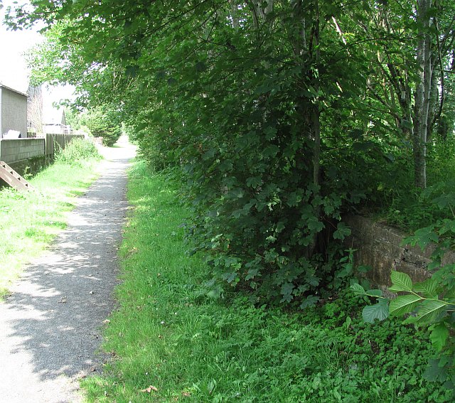
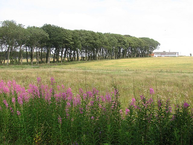
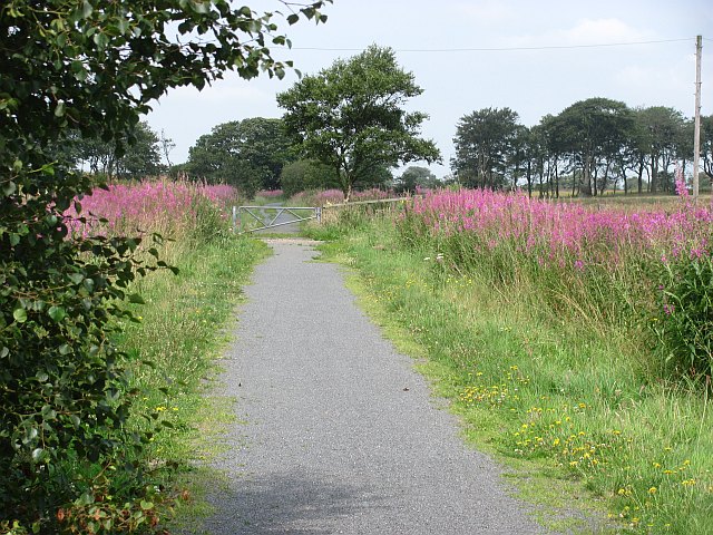
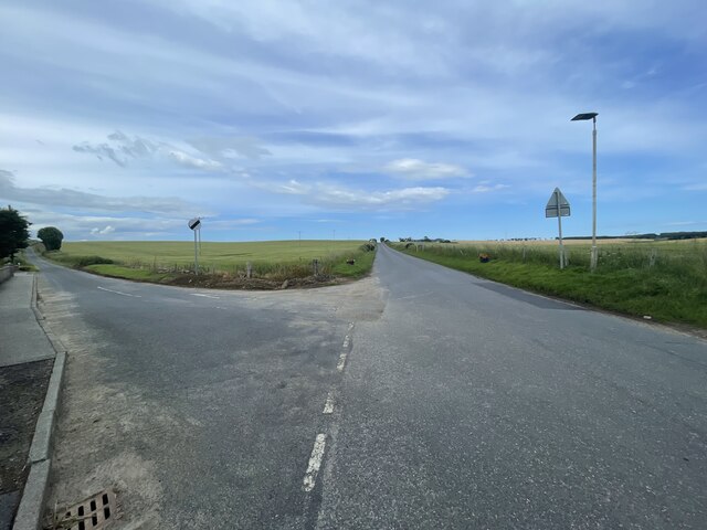
The village is known for its stunning natural beauty, with lush green fields, meandering streams, and ancient woodlands surrounding the area. Annochie is a haven for outdoor enthusiasts, offering numerous walking trails and cycling routes that allow visitors to explore the countryside and soak in the breathtaking scenery.

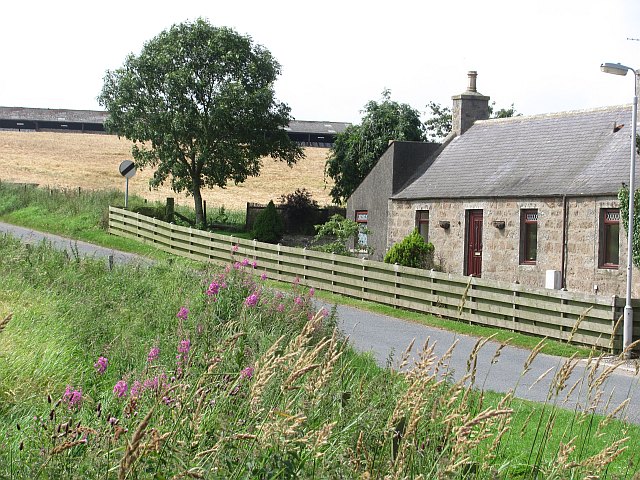
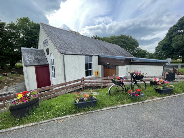
While Annochie may be small in size, it boasts a strong sense of community spirit. The village is home to a close-knit group of residents who take pride in maintaining the area's historic charm. Traditional stone cottages and quaint houses line the streets, adding to the village's unique character.

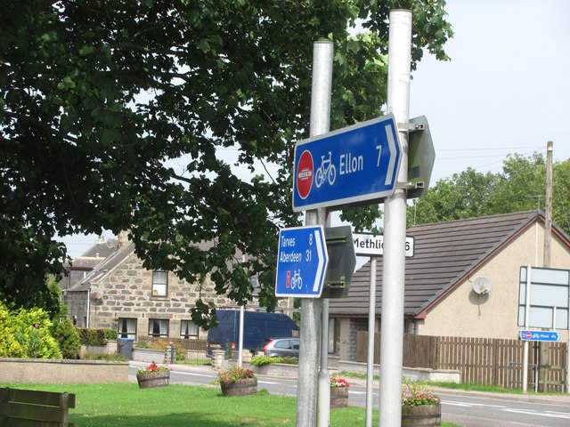
Despite its rural location, Annochie benefits from good transportation links. The nearby A944 road connects the village to Aberdeen and the wider Aberdeenshire region, making it easily accessible for commuters and tourists.

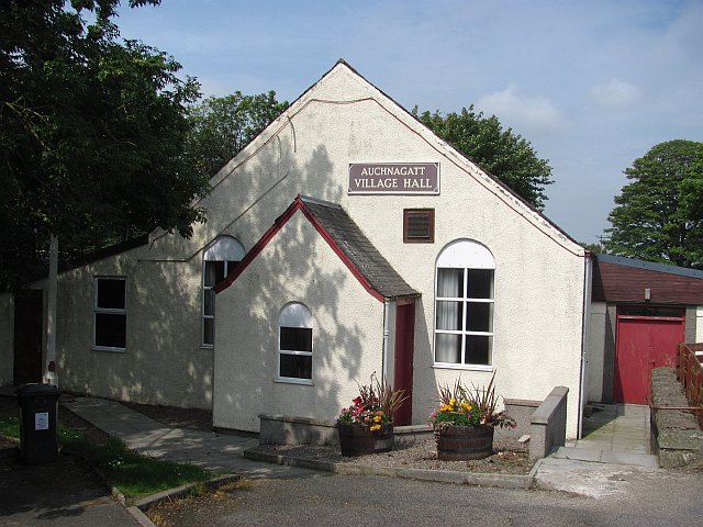
Although there are limited amenities within Annochie itself, residents can find a range of services, shops, and restaurants in nearby towns and villages, ensuring that all their needs are met.

Overall, Annochie offers a peaceful and picturesque escape from the hustle and bustle of city life, making it an ideal place for those seeking tranquility and natural beauty in the heart of Aberdeenshire.

If you have any feedback on the listing, please let us know in the comments section below.
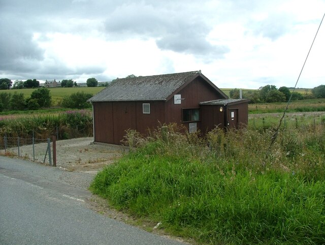
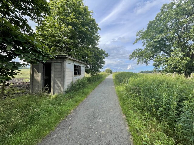
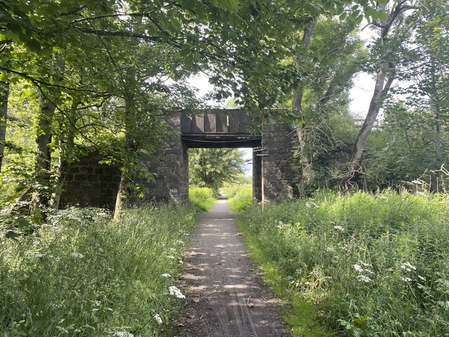
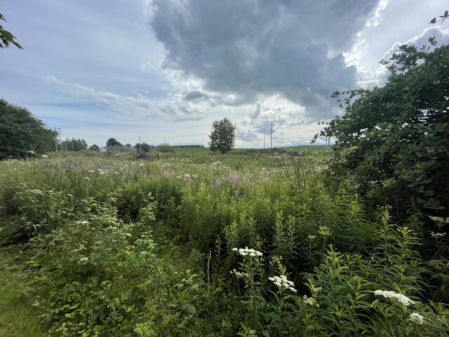
Annochie Images

Images are sourced within 2km of 57.472387/-2.107555 or Grid Reference NJ9342. Thanks to Geograph Open Source API. All images are credited.

Formartine and Buchan  Way The railway crossed the Ebrie Burn here. It closed in 1979 and now the trackbed is a cycle path and farm access track.
Formartine and Buchan Way
The railway crossed the Ebrie Burn here. It closed in 1979 and now the trackbed is a cycle path and farm access track.
Looking up to Catcraig from the Formartine and Buchan Way The foreground is either the site of Auchnagatt Station or near it. The platforms were further south and 1950's mapping show buildings here.
Looking up to Catcraig from the Formartine and Buchan Way
The foreground is either the site of Auchnagatt Station or near it. The platforms were further south and 1950's mapping show buildings here.
North of Auchnagatt View from the trackbed of the Formartine and Buchan Railway, now a cycle/footpath from Dyce to Fraserburgh with a branch to Peterhead.
North of Auchnagatt
View from the trackbed of the Formartine and Buchan Railway, now a cycle/footpath from Dyce to Fraserburgh with a branch to Peterhead.
Wet pasture, Greenbrae The meadowsweet is a giveaway that this is a damp spot. View from the Formartine and Buchan railway trackbed.
Wet pasture, Greenbrae
The meadowsweet is a giveaway that this is a damp spot. View from the Formartine and Buchan railway trackbed.
Formartine and Buchan Way signs in Auchnagatt Some satisfying big numbers - all but 5 of the miles to Aberdeen are off road.
Formartine and Buchan Way signs in Auchnagatt
Some satisfying big numbers - all but 5 of the miles to Aberdeen are off road.
Auchnagatt
Auchnagatt
Ebrie Burn. Auchnagatt
Auchnagatt Village Hall
Auchnagatt Station An overgrown platform on the Formartine and Buchan Railway.
Auchnagatt Station
An overgrown platform on the Formartine and Buchan Railway.
Strip of beeches Beech trees at South Greenbrae, seen from the Formartine and Buchan Way.
Strip of beeches
Beech trees at South Greenbrae, seen from the Formartine and Buchan Way.
Formartine and Buchan Way The old Fraserburgh / Peterhead to Dyce railway is now a cycle path. Here it crosses the access road to South Greenbrae.
Formartine and Buchan Way
The old Fraserburgh / Peterhead to Dyce railway is now a cycle path. Here it crosses the access road to South Greenbrae.
Site of Auchnagatt station View eastward from A948 road: ex-GNSR (Aberdeen) - Dyce (to right) - Maud - Fraserburgh/Peterhead lines. The station - somewhere in the village here - was closed 4/10/65 when passenger services to Fraserburgh ceased, but handled goods here until 28/3/66 and the line was not closed until 4/10/79.
Site of Auchnagatt station
View eastward from A948 road: ex-GNSR (Aberdeen) - Dyce (to right) - Maud - Fraserburgh/Peterhead lines. The station - somewhere in the village here - was closed 4/10/65 when passenger services to Fraserburgh ceased, but handled goods here until 28/3/66 and the line was not closed until 4/10/79.
Auchnagatt telephone exchange Auchnagatt telephone exchange is unusual in being in a very prominent location - most are hidden away.
Auchnagatt telephone exchange
Auchnagatt telephone exchange is unusual in being in a very prominent location - most are hidden away.
Formartine and Buchan Way
Formartine and Buchan Way The Formartine and Buchan Way is a long-distance trail in Scotland, extending from Dyce north to Peterhead and Fraserburgh in the Buchan and Formartine districts of Aberdeenshire in Scotland. It follows the track of a former railway line, the Formartine and Buchan Railway, and is open to walkers, cyclists and horse riders.The railway closed in 1979 (Fraserburgh) and 1970 (Maud-Peterhead). The walkway opened in the early 1990s, and is managed by Aberdeenshire Council. It is listed as one of Scotland's Great Trails by NatureScot
64 km (40 mi) to Fraserburgh, plus 21 km (13 mi) spur to Peterhead.
Formartine and Buchan Way
The Formartine and Buchan Way is a long-distance trail in Scotland, extending from Dyce north to Peterhead and Fraserburgh in the Buchan and Formartine districts of Aberdeenshire in Scotland. It follows the track of a former railway line, the Formartine and Buchan Railway, and is open to walkers, cyclists and horse riders.The railway closed in 1979 (Fraserburgh) and 1970 (Maud-Peterhead). The walkway opened in the early 1990s, and is managed by Aberdeenshire Council. It is listed as one of Scotland's Great Trails by NatureScot 64 km (40 mi) to Fraserburgh, plus 21 km (13 mi) spur to Peterhead.
Overgrown old station The Formartine and Buchan Way is a long-distance trail in Scotland, extending from Dyce north to Peterhead and Fraserburgh in the Buchan and Formartine districts of Aberdeenshire in Scotland. It follows the track of a former railway line, the Formartine and Buchan Railway, and is open to walkers, cyclists and horse riders.The railway closed in 1979 (Fraserburgh) and 1970 (Maud-Peterhead). The walkway opened in the early 1990s, and is managed by Aberdeenshire Council. It is listed as one of Scotland's Great Trails by NatureScot
64 km (40 mi) to Fraserburgh, plus 21 km (13 mi) spur to Peterhead.
Overgrown old station
The Formartine and Buchan Way is a long-distance trail in Scotland, extending from Dyce north to Peterhead and Fraserburgh in the Buchan and Formartine districts of Aberdeenshire in Scotland. It follows the track of a former railway line, the Formartine and Buchan Railway, and is open to walkers, cyclists and horse riders.The railway closed in 1979 (Fraserburgh) and 1970 (Maud-Peterhead). The walkway opened in the early 1990s, and is managed by Aberdeenshire Council. It is listed as one of Scotland's Great Trails by NatureScot 64 km (40 mi) to Fraserburgh, plus 21 km (13 mi) spur to Peterhead.
Auchnagatt Village hall
Junction on the B9030
Show me another place!

Annochie is located at Grid Ref: NJ9342 (Lat: 57.472387, Lng: -2.107555)

Unitary Authority: Aberdeenshire

Police Authority: North East

What 3 Words

///awake.mouse.salary. Near Mintlaw, Aberdeenshire

Nearby Locations

Annochie Brownhill

Related Wikis

Nearby Amenities

Located within 500m of 57.472387,-2.107555
Power: pole
Lat/Long: 57.4699808/-2.1012476
Power: pole
Lat/Long: 57.4698092/-2.1025277
Power: pole
Lat/Long: 57.4696441/-2.1038656
Power: pole
Lat/Long: 57.4694961/-2.1051198
Power: pole
Lat/Long: 57.4690179/-2.1059373
Power: pole
Lat/Long: 57.4683764/-2.106303
Power: pole
Lat/Long: 57.4743218/-2.1138869
Power: pole
Lat/Long: 57.4738255/-2.1129677
Power: pole
Lat/Long: 57.4733366/-2.1122399
Power: pole
Lat/Long: 57.472896/-2.111576
Power: pole
Lat/Long: 57.4724285/-2.110898
Power: pole
Lat/Long: 57.4720297/-2.1103517
Power: pole
Lat/Long: 57.4716416/-2.1097855
Power: pole
Lat/Long: 57.4712835/-2.109269
Power: pole
Lat/Long: 57.470801/-2.1085373
Power: pole
Lat/Long: 57.4703249/-2.1078434
Power: pole
Lat/Long: 57.469835/-2.1071376
Power: pole
Lat/Long: 57.4693321/-2.1064078
Power: pole
Lat/Long: 57.4707431/-2.1100108
Power: pole
Lat/Long: 57.4701931/-2.1107744
Power: pole
Lat/Long: 57.4696248/-2.111578
Power: pole
Lat/Long: 57.4691209/-2.1123456
Power: pole
Lat/Long: 57.4729341/-2.1099839
Power: pole
Lat/Long: 57.4734329/-2.108747
Power: pole
Lat/Long: 57.473697/-2.1080841
Power: pole
Lat/Long: 57.4742459/-2.1067139
Power: pole
Lat/Long: 57.4747891/-2.1053139
Power: pole
Lat/Long: 57.4740671/-2.1042889
Power: pole
Lat/Long: 57.4744145/-2.1047718
Power: pole
Lat/Long: 57.4751387/-2.1057587
Power: pole
Lat/Long: 57.4755088/-2.1062035
Power: pole
Lat/Long: 57.4758845/-2.1066588
Power: pole
Lat/Long: 57.4762671/-2.1071438
Power: pole
Lat/Long: 57.4766266/-2.1075817
The data included in this document is from www.openstreetmap.org. The data is made available under ODbL.

Have you been to Annochie?

Leave your review of Annochie below (or comments, questions and feedback).