Brownhill
Settlement in Aberdeenshire
Scotland
Brownhill
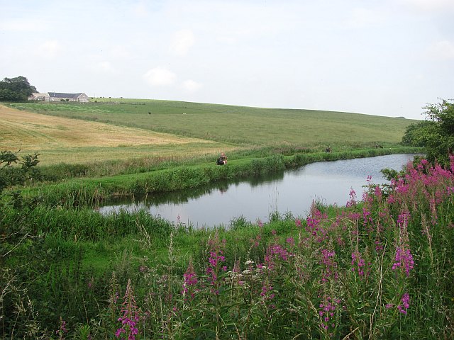
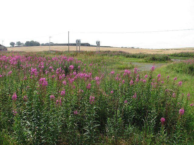
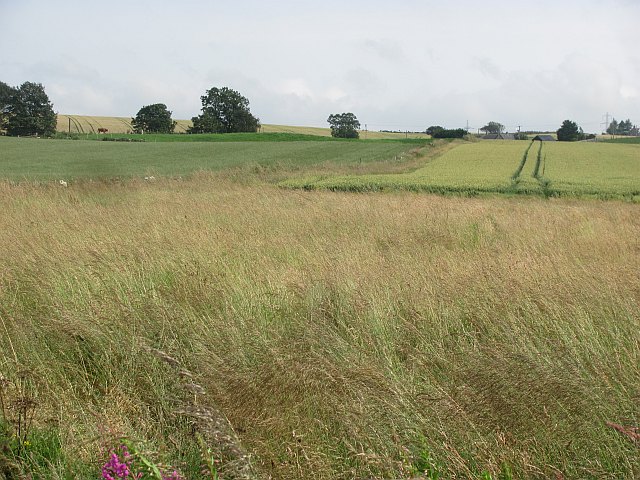
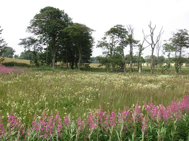
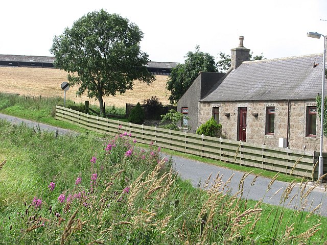
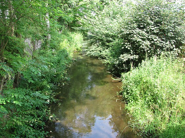
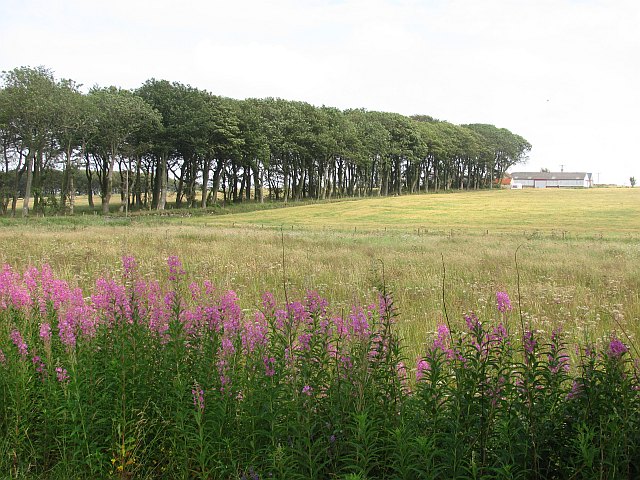
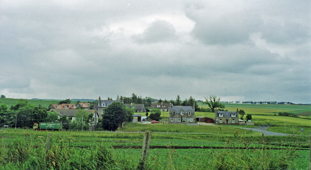
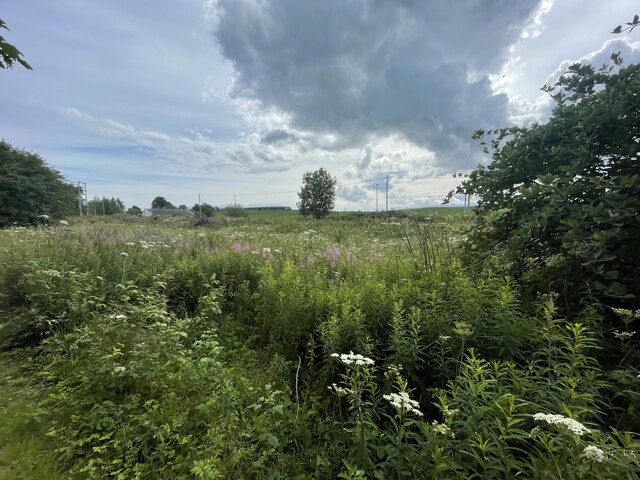
Brownhill is a small rural village located in the county of Aberdeenshire, Scotland. Situated approximately 15 miles northwest of the city of Aberdeen, it is nestled in the picturesque countryside of the region. The village is surrounded by rolling hills, lush green fields, and a tranquil atmosphere that attracts nature lovers and those seeking a peaceful retreat.
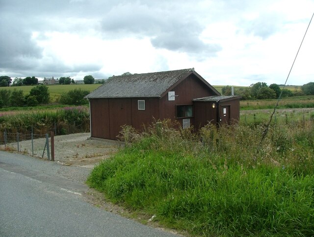
Despite its small size, Brownhill offers a range of amenities to its residents. The village has a local convenience store that caters to the daily needs of its inhabitants. Additionally, there is a primary school in the village, ensuring that families with young children have access to education within the community.
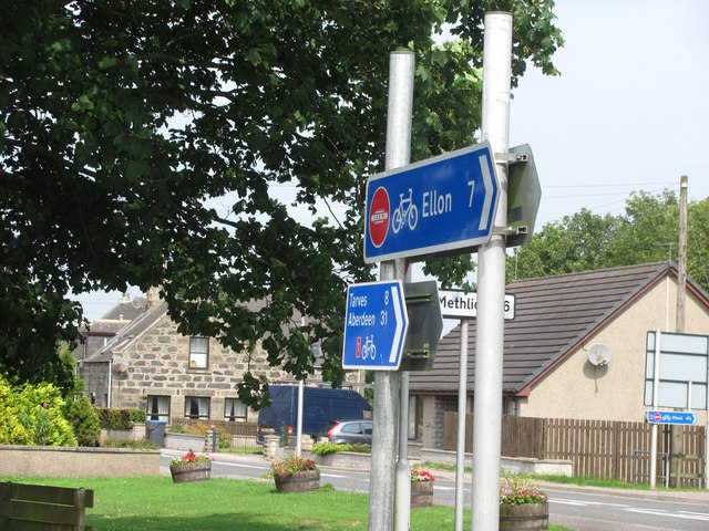
Brownhill is well-connected to the neighboring areas through a network of roads, making it easily accessible by car. The village is also served by a regular bus service, providing convenient transportation options for those who prefer not to drive.
The village is known for its close-knit community and friendly atmosphere. Residents often gather for events and activities organized by local community groups, fostering a strong sense of belonging and camaraderie.
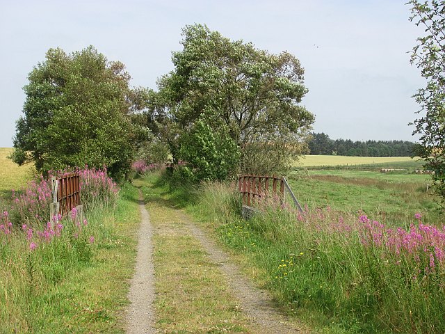
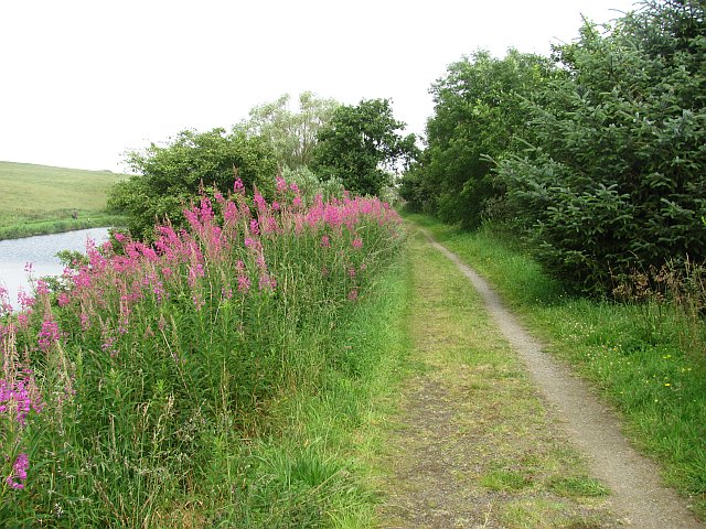
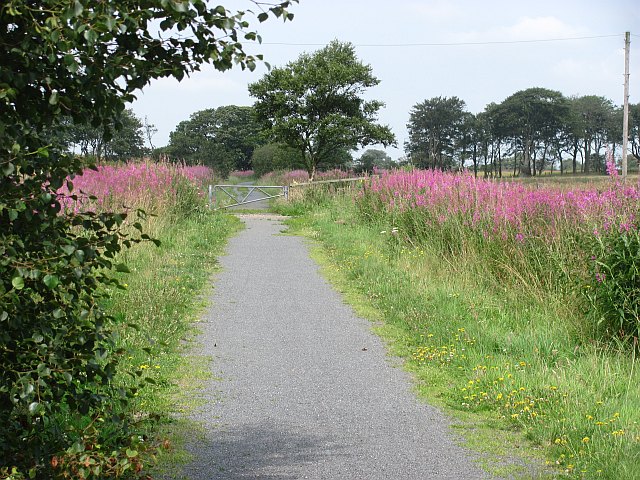
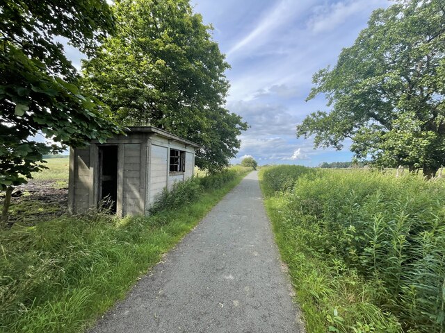
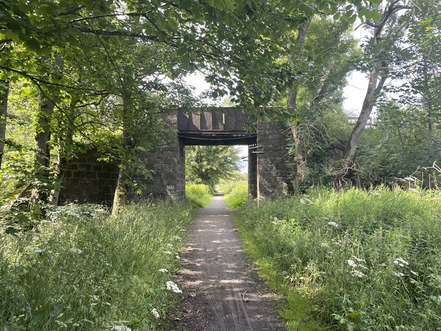
For outdoor enthusiasts, Brownhill offers ample opportunities to explore the surrounding countryside. The village is located near various walking trails and nature reserves, allowing residents to enjoy peaceful strolls or engage in more adventurous activities such as hiking or cycling.
Overall, Brownhill is a charming village that offers a tranquil lifestyle amidst the beautiful Scottish countryside. Its community spirit, natural beauty, and convenient amenities make it an attractive place to live for those seeking a quieter pace of life.
If you have any feedback on the listing, please let us know in the comments section below.
Brownhill Images
Images are sourced within 2km of 57.468216/-2.1183485 or Grid Reference NJ9342. Thanks to Geograph Open Source API. All images are credited.
Brownhill is located at Grid Ref: NJ9342 (Lat: 57.468216, Lng: -2.1183485)
Unitary Authority: Aberdeenshire
Police Authority: North East
What 3 Words
///manager.talkers.destroyer. Near Mintlaw, Aberdeenshire
Related Wikis

Auchnagatt railway station
Auchnagatt railway station was a railway station in Auchnagatt, Aberdeenshire. Before its closure, services ran to Fraserburgh, Peterhead and Aberdeen...

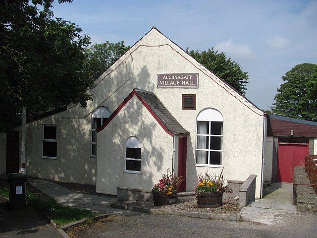
Auchnagatt
Auchnagatt (Scottish Gaelic: Achadh nan Cat) is a village and rural area in Buchan, Aberdeenshire, Scotland, situated on the Ebrie Burn and on the A948...

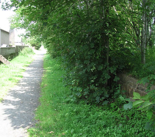
Formartine and Buchan Way
The Formartine and Buchan Way is a long-distance trail in Scotland, extending from Dyce north to Peterhead and Fraserburgh in the Buchan and Formartine...

Arnage Castle
Arnage Castle is a country house, incorporating a Z-plan tower house, located around 4 miles (6.4 km) north of Ellon, in Aberdeenshire, north-east Scotland...
Nearby Amenities
Located within 500m of 57.468216,-2.1183485Have you been to Brownhill?
Leave your review of Brownhill below (or comments, questions and feedback).