Ann's Hill
Settlement in Hampshire Gosport
England
Ann's Hill
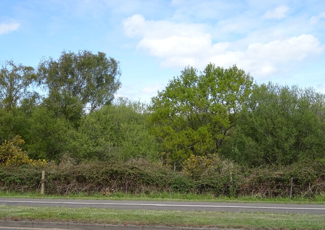
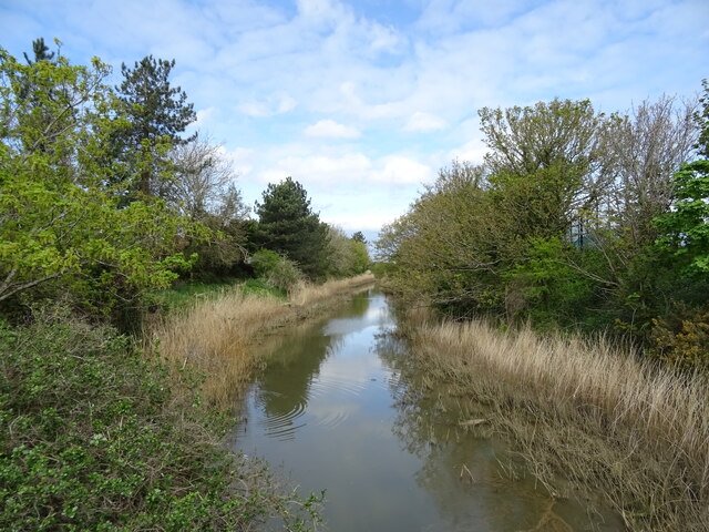
Ann's Hill is a charming residential area located in the town of Gosport, Hampshire, England. Situated just south of the town center, it is known for its picturesque landscapes and a strong sense of community. The neighborhood is named after Ann's Hill, a small hill that offers stunning views of the surrounding area.
The residential properties in Ann's Hill consist mainly of Victorian and Edwardian houses, giving the area a unique historical character. Many of these homes have been lovingly restored and maintained, adding to the overall charm of the neighborhood. The streets are lined with trees, providing a pleasant and tranquil atmosphere.
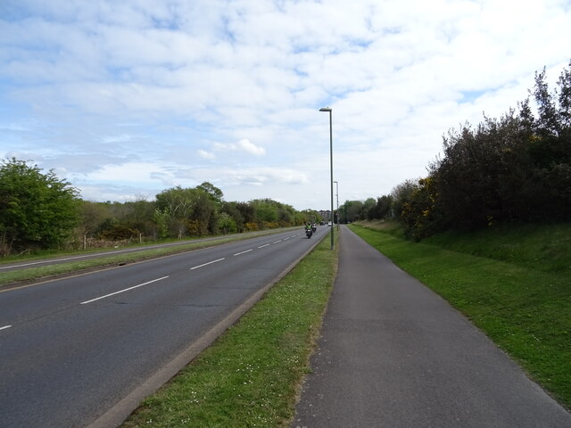
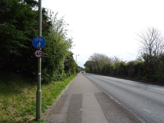
Ann's Hill benefits from its close proximity to local amenities. The town center is just a short walk away, offering a variety of shops, restaurants, and pubs. The area is also well-served by public transportation, making it convenient for residents to travel to neighboring towns and cities.
One of the highlights of Ann's Hill is the Ann's Hill Cemetery, a peaceful resting place dating back to the mid-19th century. The cemetery is well-maintained and features beautiful gravestones and memorials, providing a serene space for reflection and remembrance.
Overall, Ann's Hill offers a delightful residential experience with its stunning views, historic architecture, and strong community spirit. It is a sought-after location for families and individuals looking for a peaceful and picturesque place to call home.
If you have any feedback on the listing, please let us know in the comments section below.
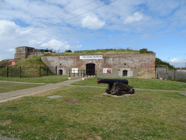
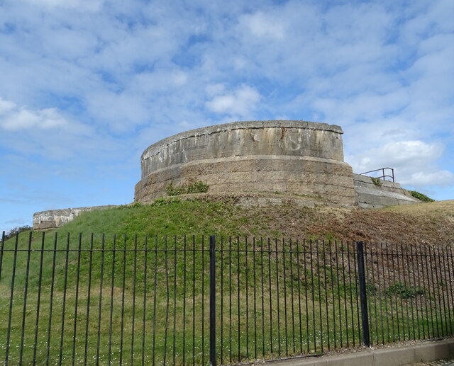
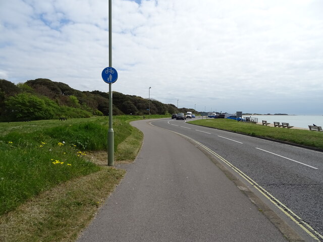
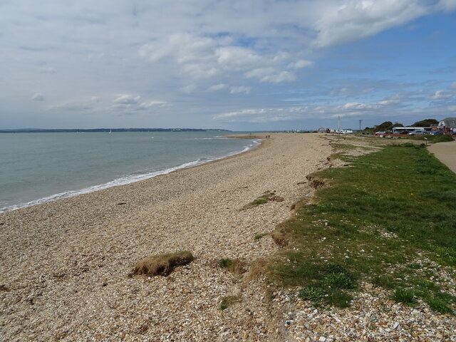
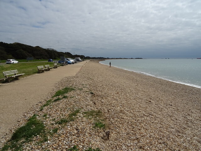
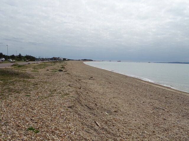
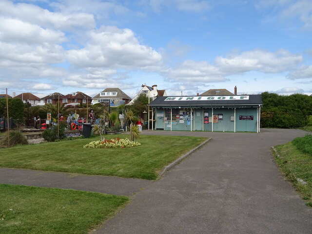
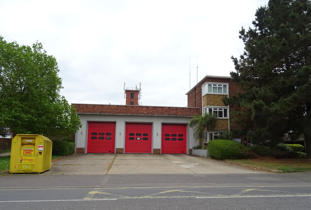
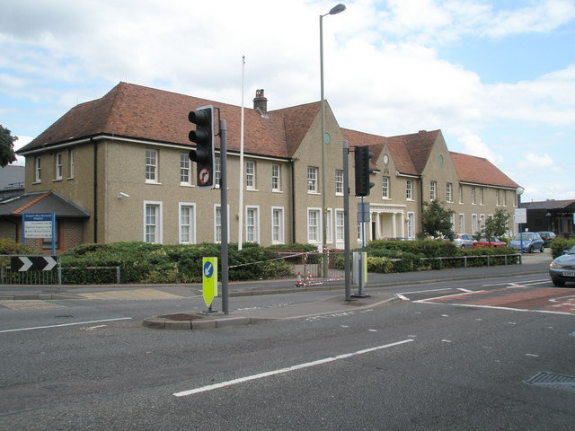
Ann's Hill Images
Images are sourced within 2km of 50.798212/-1.15185 or Grid Reference SU5900. Thanks to Geograph Open Source API. All images are credited.


Ann's Hill is located at Grid Ref: SU5900 (Lat: 50.798212, Lng: -1.15185)
Administrative County: Hampshire
District: Gosport
Police Authority: Hampshire
What 3 Words
///bells.each.people. Near Gosport, Hampshire
Nearby Locations
Related Wikis

Gosport Borough F.C.
Gosport Borough Football Club is a semi-professional football club based in Gosport, Hampshire, England. The club is affiliated to the Hampshire Football...
Gosport War Memorial Hospital
Gosport War Memorial Hospital is a hospital in Gosport, Hampshire, England, part of the Southern Health NHS Foundation Trust. == History == === Early... ===
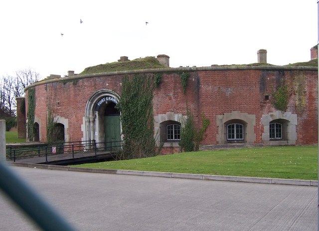
Fort Grange
Fort Grange is one of the Palmerston Forts, in Gosport, England. After Gomer and Elson forts had been approved in 1852, further consideration led to a...
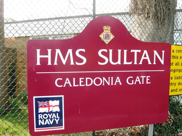
HMS Sultan (shore establishment)
HMS Sultan is a shore base of the Royal Navy in Gosport, Hampshire, England. It is the primary engineering training establishment for the Royal Navy and...
Fort Gomer Halt railway station
Fort Gomer Halt railway station served the town of Gosport, Hampshire, England from 1894 to 1930 on the Lee-on-the-Solent Railway. == History == The station...
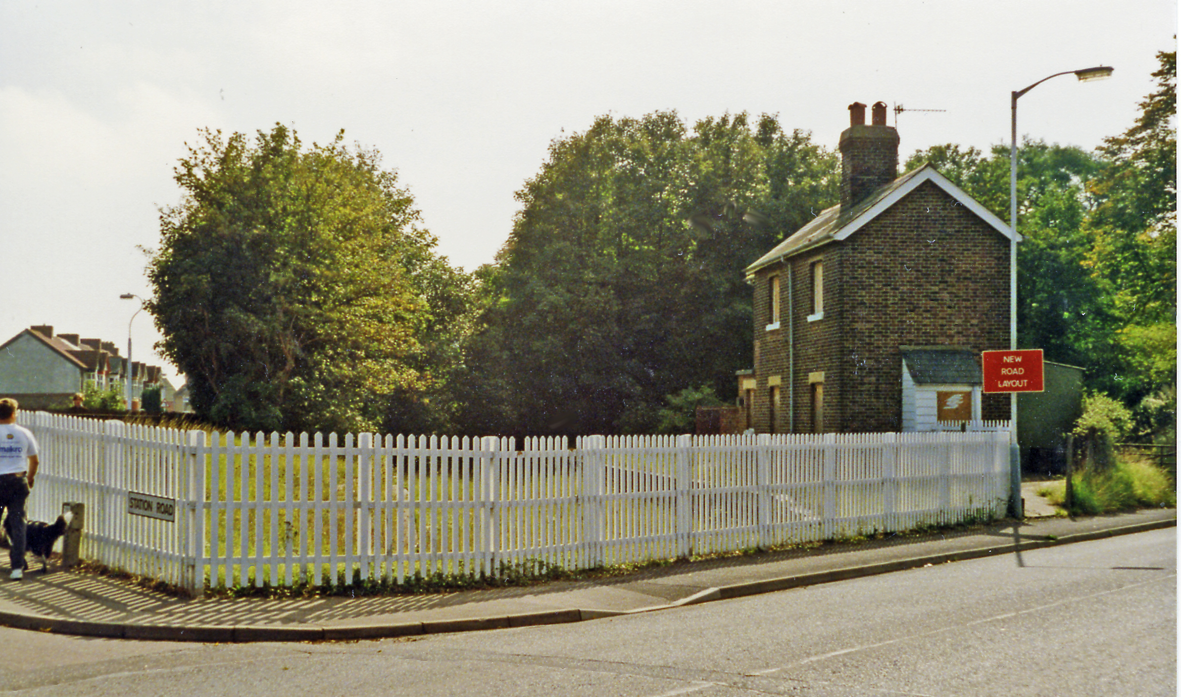
Fort Brockhurst railway station
Fort Brockhurst railway station served the town of Gosport, Hampshire, England from 1865 to 1953 on the Fareham-Gosport line. == History == The station...
Gosport Road and Alverstoke railway station
Gosport Road and Alverstoke railway station served the town of Gosport, Hampshire, England, from 1865 to 1915 on the Stokes Bay line. == History == The...

Fort Rowner
Fort Rowner is one of the Palmerston Forts, in Gosport, England. Built circa 1858 as part of the outer defence line for Gosport along with Fort Brockhurst...
Nearby Amenities
Located within 500m of 50.798212,-1.15185Have you been to Ann's Hill?
Leave your review of Ann's Hill below (or comments, questions and feedback).