Clay Lake

Settlement in Lincolnshire South Holland

England

Clay Lake

The River Welland The River Welland at Spalding
The River Welland Credit: Peter Latham

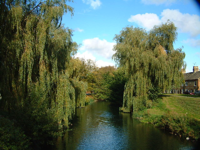
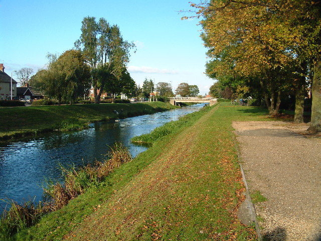
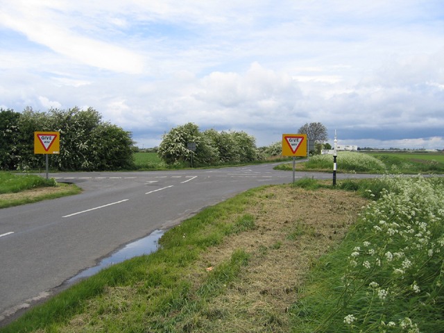
Clay Lake is a small village located in the county of Lincolnshire, England. Situated approximately 5 miles north of the town of Spalding, it is nestled amidst the picturesque Fens region. The village derives its name from the nearby clay pits that were once used for brickmaking.

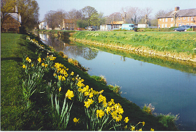
With a population of around 500 residents, Clay Lake offers a peaceful and rural setting. The landscape is characterized by flat, fertile farmland, dotted with occasional windmills and traditional farmhouses. The area is renowned for its agricultural activities, particularly for its potato and vegetable production.

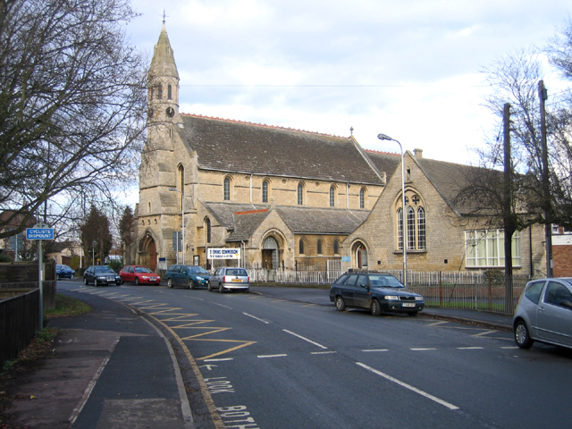
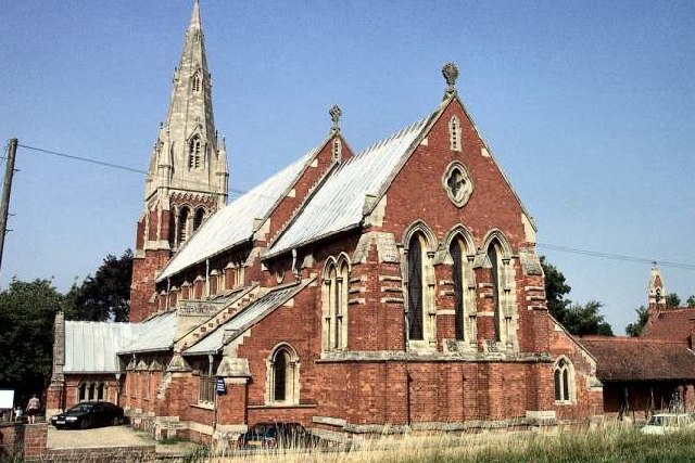
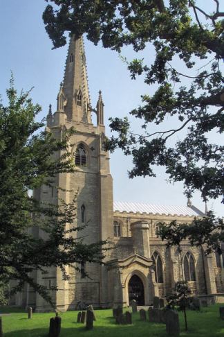
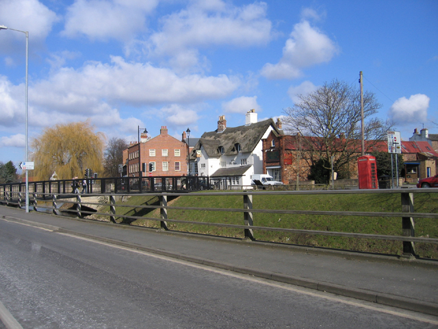
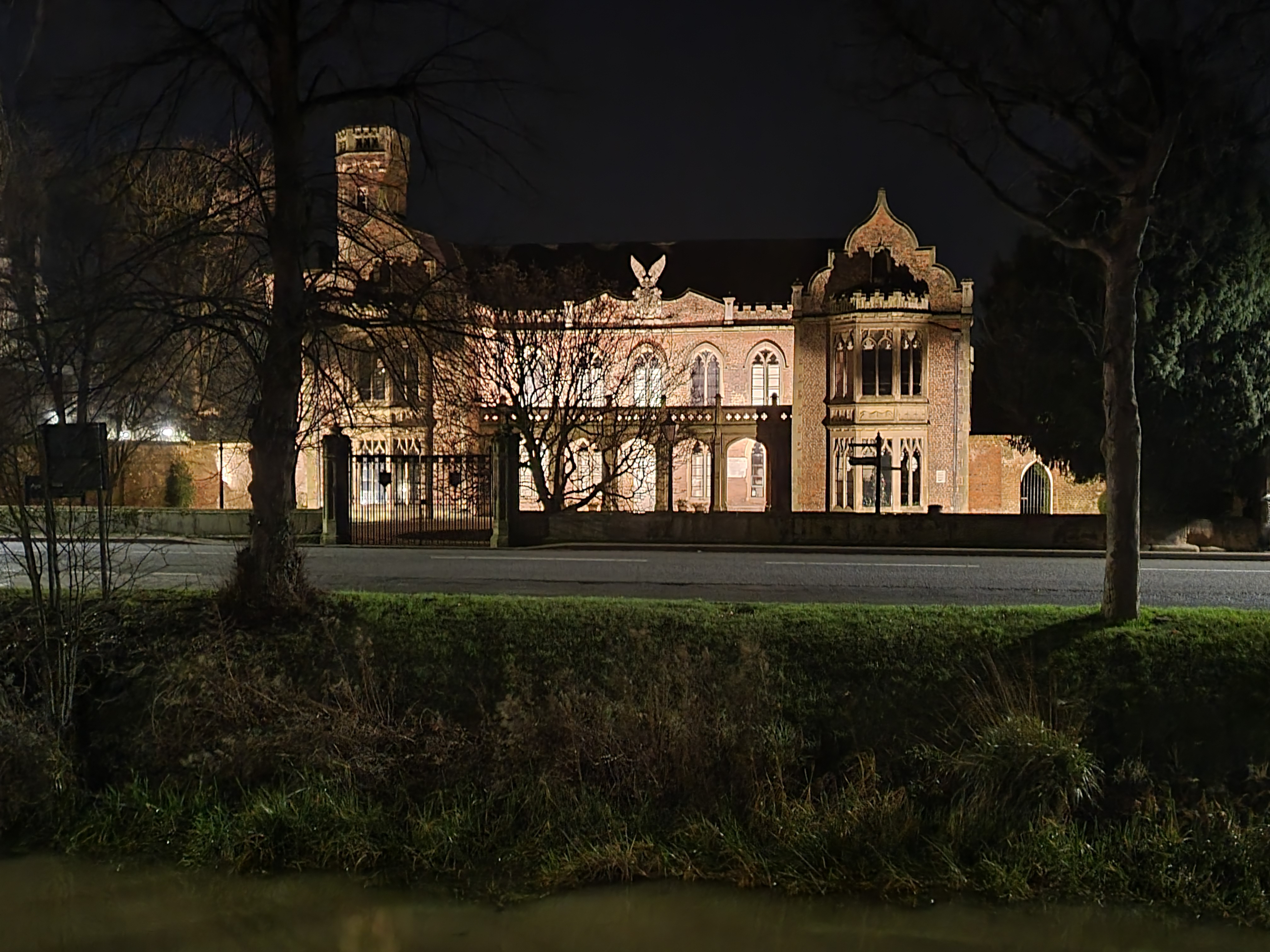
The village itself consists of a scattering of houses, a local pub, and a small village hall. Its quaint charm is enhanced by the presence of a historic church, St. Mary's, which dates back to the 13th century. The church contains beautiful stained glass windows and an ancient bell tower, adding to the village's historical appeal.

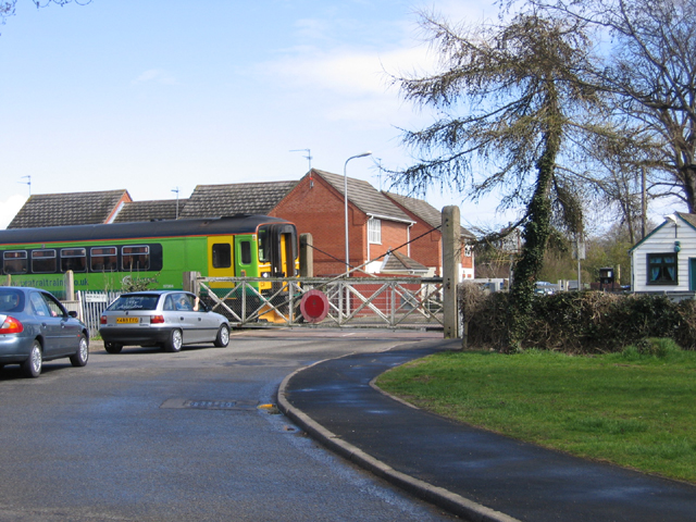
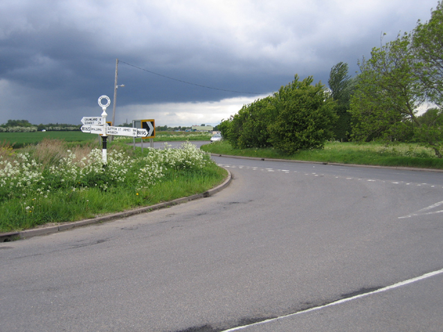
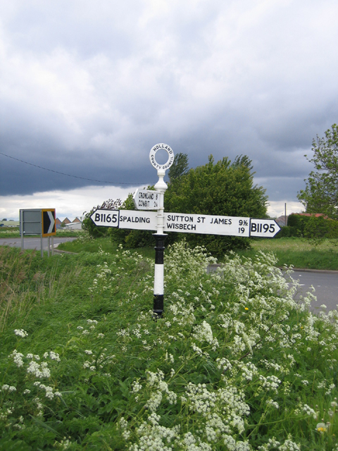
Clay Lake is well-connected to neighboring towns and cities. The nearby A16 road provides easy access to Spalding and beyond, while the train station in Spalding offers regular services to major cities like Peterborough and Lincoln.

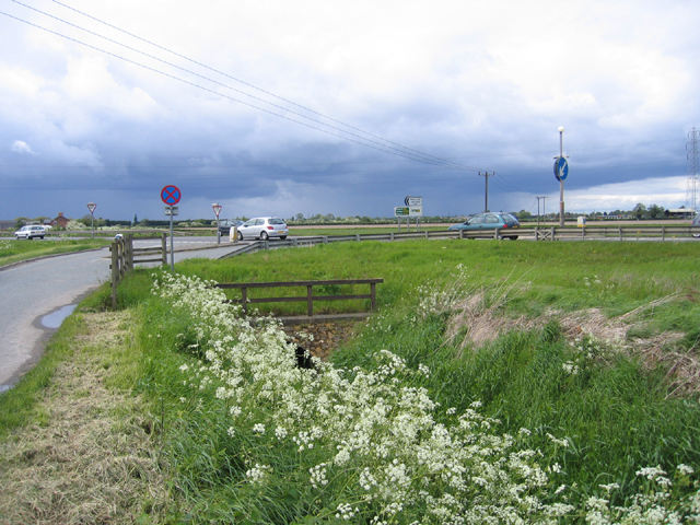
The village is surrounded by natural beauty, making it an attractive destination for nature lovers and outdoor enthusiasts. The Fens area is home to a variety of wildlife, including birds, mammals, and reptiles. There are also numerous walking and cycling routes in the vicinity, allowing visitors to explore the stunning countryside.

Overall, Clay Lake offers a tranquil and idyllic retreat from the hustle and bustle of city life, making it a charming destination for those seeking a peaceful rural escape.

If you have any feedback on the listing, please let us know in the comments section below.
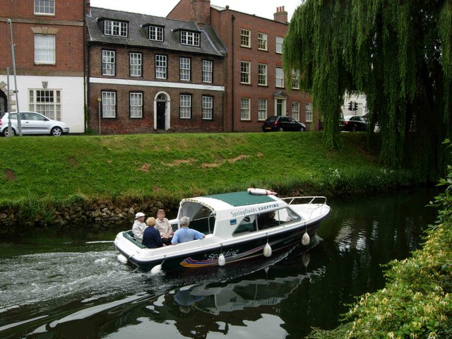
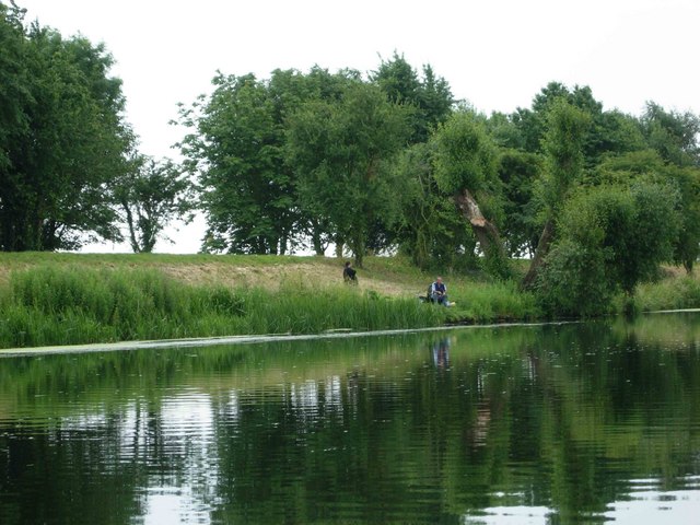
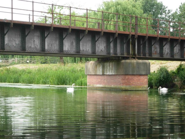
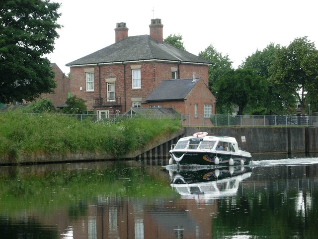
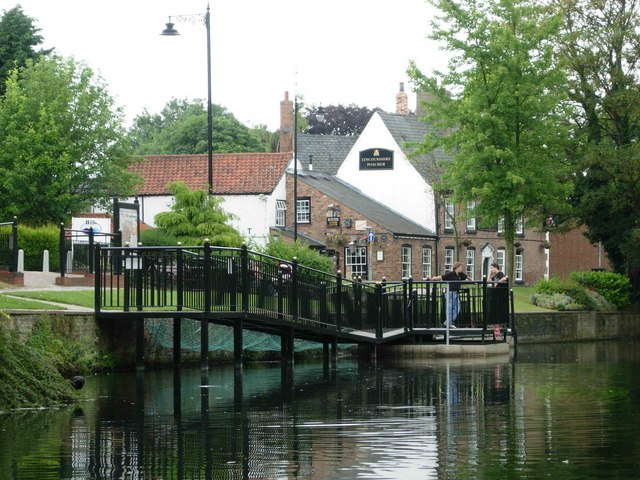
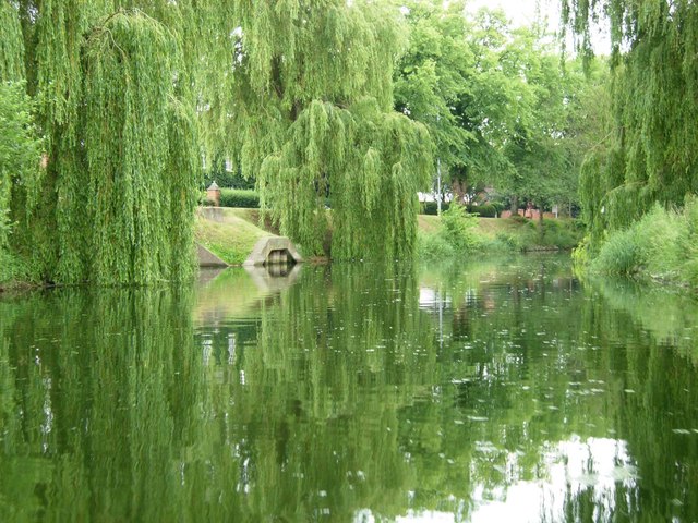
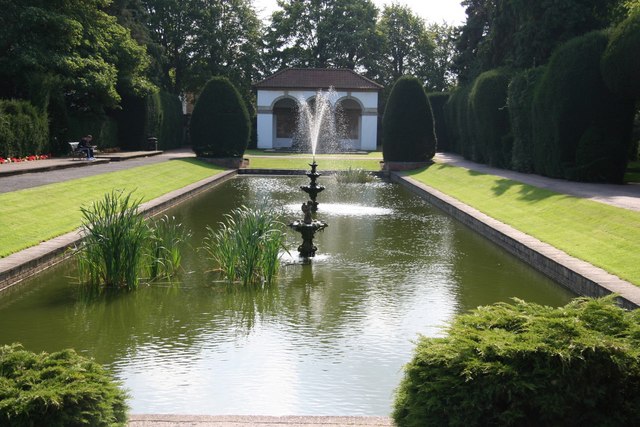
Clay Lake Images

Images are sourced within 2km of 52.779976/-0.140177 or Grid Reference TF2521. Thanks to Geograph Open Source API. All images are credited.

The River Welland The River Welland at Spalding
The River Welland
The River Welland at Spalding
The River Welland The River Welland at Spalding looking towards the twin bridges from the town side
The River Welland
The River Welland at Spalding looking towards the twin bridges from the town side
St John the Baptist parish church and primary school, Spalding, Lincs – situated on Hawthorn Bank to the west of the town centre; the church dates from 1875 <span class="nowrap"><a title="http://www.stjohnsspalding.org/" rel="nofollow ugc noopener" href="http://www.stjohnsspalding.org/">Link</a><img style="margin-left:2px;" alt="External link" title="External link - shift click to open in new window" src="https://s1.geograph.org.uk/img/external.png" width="10" height="10"/></span> .
St John the Baptist parish church and primary school, Spalding, Lincs
– situated on Hawthorn Bank to the west of the town centre; the church dates from 1875 LinkExternal link .
River Welland, Spalding. The river has been canalized in the fens and runs in straight embanked stretches.
River Welland, Spalding.
The river has been canalized in the fens and runs in straight embanked stretches.
St. Paul, Fulney
St. Paul, Fulney
SS Mary & Nicolas, Spalding
Bridge over the Welland, Spalding, Lincs – view from London Road towards Ye Olde White Horse.
Bridge over the Welland, Spalding, Lincs
– view from London Road towards Ye Olde White Horse.
Waiting for the train, Spalding, Lincs at the Park Road level crossing.
Waiting for the train, Spalding, Lincs
at the Park Road level crossing.
A South Holland crossroads, Lincs looking north west along the Old Fen Dyke road where it is crossed by the Fulney Drove from Low Fulney to Cowbit.
A South Holland crossroads, Lincs
looking north west along the Old Fen Dyke road where it is crossed by the Fulney Drove from Low Fulney to Cowbit.
Clay Lake road junction, Spalding, Lincs where the A16 Spalding by-pass crosses Clay Lake Bank road and Clay Lake drain (in the foreground).
Clay Lake road junction, Spalding, Lincs
where the A16 Spalding by-pass crosses Clay Lake Bank road and Clay Lake drain (in the foreground).
Road junction, Low Fulney, Lincs where Fulney Drove meets the sharp bend in the B1165 east of Spalding.
Road junction, Low Fulney, Lincs
where Fulney Drove meets the sharp bend in the B1165 east of Spalding.
Holland County Council fingerpost road sign, Low Fulney, Lincs This is a well preserved sign from the pre-1974 division of Lincolnshire, situated where Fulney Drove meets the B1165 Rangell Gate (west) and Weston Hills Road (east). In 2001  Lincolnshire County Council established a working group called 'Traditional Roadsigns in Lincolnshire', which has so far overseen the refurbishment of over 100 signs.
Holland County Council fingerpost road sign, Low Fulney, Lincs
This is a well preserved sign from the pre-1974 division of Lincolnshire, situated where Fulney Drove meets the B1165 Rangell Gate (west) and Weston Hills Road (east). In 2001 Lincolnshire County Council established a working group called 'Traditional Roadsigns in Lincolnshire', which has so far overseen the refurbishment of over 100 signs.
Spalding Water Taxi The Spalding Water Taxi runs from here on the River Welland in the town centre to Springfields about every 40 minutes.
Spalding Water Taxi
The Spalding Water Taxi runs from here on the River Welland in the town centre to Springfields about every 40 minutes.
Coronation Channel, Fulney A fisherman sits on the bank just south of the B1165 bridge.
Coronation Channel, Fulney
A fisherman sits on the bank just south of the B1165 bridge.
Railway Bridge, Coronation Channel This bridge was built across the new Coronation Channel in 1953; the railway was abandoned in 1965.
Railway Bridge, Coronation Channel
This bridge was built across the new Coronation Channel in 1953; the railway was abandoned in 1965.
Spalding Water Taxi, Coronation Channel The Spalding Water Taxi runs a frequent service between the town centre and Springfields via the River Welland and the Coronation Channel.
Spalding Water Taxi, Coronation Channel
The Spalding Water Taxi runs a frequent service between the town centre and Springfields via the River Welland and the Coronation Channel.
River Welland, Spalding Showing the terminus of the Spalding Water Taxi and the Lincolnshire Poacher pub.
River Welland, Spalding
Showing the terminus of the Spalding Water Taxi and the Lincolnshire Poacher pub.
River Welland, Spalding Willows reflect in the peaceful water of the River Welland just south of the town centre.
River Welland, Spalding
Willows reflect in the peaceful water of the River Welland just south of the town centre.
Show me another place!

Clay Lake is located at Grid Ref: TF2521 (Lat: 52.779976, Lng: -0.140177)

Division: Parts of Holland

Administrative County: Lincolnshire

District: South Holland

Police Authority: Lincolnshire

What 3 Words

///input.crust.petal. Near Spalding, Lincolnshire

Related Wikis

Spalding High School, Lincolnshire

Spalding High School (SHS) is a grammar school for girls and a mixed sixth form located in Spalding, Lincolnshire, England. == Location and admissions... ==

Gleed Boys' School

Gleed Boys' School was a secondary school for boys aged 11 to 16, in Spalding, Lincolnshire, England. The school has been merged with Gleed Girls' Technology...

Spalding Academy, Lincolnshire

Spalding Academy, formerly Sir John Gleed School, is a mixed secondary school and sixth form in Spalding, Lincolnshire, England. The Sir John Gleed School...

Spalding War Memorial

Spalding War Memorial is a First World War memorial in the gardens of Ayscoughfee Hall (pronounced ) in Spalding, Lincolnshire, in eastern England. It...

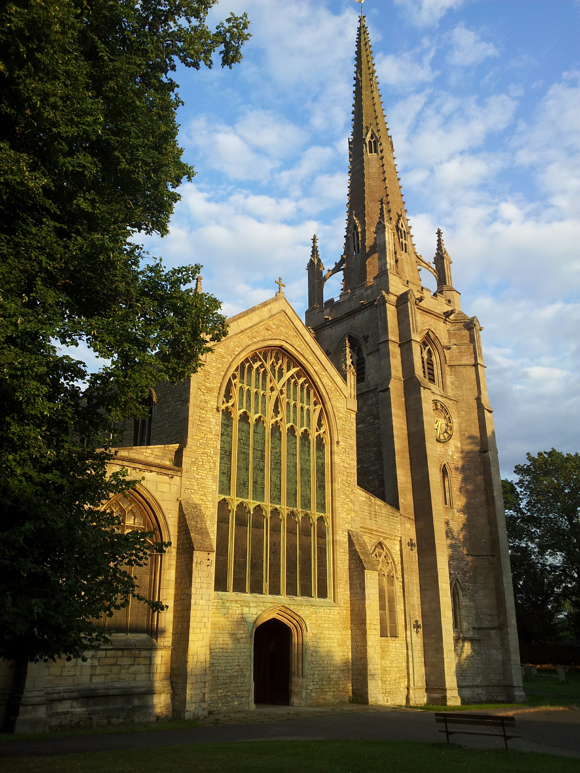
St Mary and St Nicolas, Spalding

The Church of St Mary and St Nicolas is an active Church of England parish church in Spalding, Lincolnshire, England. It was built c. 1284 on the site...

Gleed Girls' Technology College

Gleed Girls' Technology College was a secondary school on Neville Avenue in Spalding, Lincolnshire, England. It opened on 28 April 1941 as Spalding The...

Ayscoughfee Hall

Ayscoughfee Hall is a grade I listed building and modest associated parkland in central Spalding, Lincolnshire, England, and is a landmark on the fen...

Gordon Boswell Romany Museum

The Gordon Boswell Romany Museum is the lifetime's work of Gordon Boswell (died 27 August 2016, aged 76), who amassed a collection of artefacts, photographs...

Nearby Amenities

Located within 500m of 52.779976,-0.140177
Bus Stop
Marlborough Avenue
Bus: yes
Naptan AtcoCode: 270002700302
Naptan Bearing: NW
Naptan CommonName: Marlborough Avenue
Naptan Indicator: adj
Naptan Landmark: Marlborough Avenue
Naptan NaptanCode: linagtpm
Naptan Street: Balmoral Avenue
Naptan Verified: no
Public Transport: platform
Source: naptan_import
Lat/Long: 52.7798935/-0.1471384
Bus Stop
Marlborough Avenue
Bus: yes
Naptan AtcoCode: 270002700303
Naptan Bearing: SE
Naptan CommonName: Marlborough Avenue
Naptan Indicator: opp
Naptan Landmark: Marlborough Avenue
Naptan NaptanCode: linagtpt
Naptan Street: Balmoral Avenue
Naptan Verified: no
Public Transport: platform
Source: naptan_import
Lat/Long: 52.7797114/-0.1464196
Bus Stop
Balmoral Avenue
Bus: yes
Naptan AtcoCode: 270002700305
Naptan Bearing: E
Naptan CommonName: Balmoral Avenue
Naptan Indicator: adj
Naptan Landmark: Balmoral Avenue
Naptan NaptanCode: linagtjd
Naptan Street: Holyrood Walk
Naptan Verified: no
Public Transport: platform
Source: naptan_import
Lat/Long: 52.7785918/-0.1442828
Bus Stop
Clarence Gardens
Bus: yes
Naptan AtcoCode: 270002700306
Naptan Bearing: NE
Naptan CommonName: Clarence Gardens
Naptan Indicator: adj
Naptan Landmark: Clarence Gardens
Naptan NaptanCode: linajdmp
Naptan Street: Holyrood Walk
Naptan Verified: no
Public Transport: platform
Source: naptan_import
Lat/Long: 52.7794123/-0.1428144
Bus Stop
Clay Lake Lane School
Bus: yes
Naptan AtcoCode: 270002700308
Naptan Bearing: SE
Naptan CommonName: Clay Lake Lane School
Naptan Indicator: opp
Naptan Landmark: School
Naptan NaptanCode: linagtma
Naptan Street: Clay Lake Lane
Naptan Verified: no
Public Transport: platform
Source: naptan_import
Lat/Long: 52.780441/-0.1430523
Bus Stop
Clay Lake Lane School
Bus: yes
Naptan AtcoCode: 2700LSCL3004
Naptan Bearing: NW
Naptan CommonName: Clay Lake Lane School
Naptan Indicator: adj
Naptan Landmark: School
Naptan NaptanCode: linawdwj
Naptan Street: Clay Lake Lane
Naptan Verified: no
Public Transport: platform
Source: naptan_import
Lat/Long: 52.7804535/-0.1432742
Bus Stop
High School
Bus: yes
Naptan AtcoCode: 2700LSSH1444
Naptan Bearing: SE
Naptan CommonName: High School
Naptan Landmark: High School
Naptan NaptanCode: linajwdt
Naptan Street: Stonegate
Naptan Verified: no
Public Transport: platform
Source: naptan_import
Lat/Long: 52.7834939/-0.1439455
Turning Circle
Lat/Long: 52.7805495/-0.1470678
Waste Basket
Lat/Long: 52.7818447/-0.1458231
Tesco Express
Addr City: Spalding
Addr Country: GB
Addr Housenumber: 64
Addr Postcode: PE11 2PN
Addr Street: Stone Gate
Brand: Tesco Express
Brand Wikidata: Q98456772
Brand Wikipedia: en:Tesco
Contact Website: https://www.tesco.com/store-locator/spalding/matmore-gate
Fhrs Id: 243330
Shop: convenience
Lat/Long: 52.7820035/-0.1439135
Clay Lake
Place: neighbourhood
Source: Bing
Lat/Long: 52.7802362/-0.1455077
Social Facility
Southernwood House Residential Home
Addr City: Spalding
Addr Country: GB
Addr Housenumber: 20
Addr Postcode: PE11 2PN
Addr Street: Matmore Gate
Fhrs Authority: South Holland
Fhrs Id: 243459
Fhrs Local Authority Id: 5355
Social Facility: nursing_home
Lat/Long: 52.7820434/-0.1424174
Voice of the Razor
Addr City: Spalding
Addr Housenumber: 66a
Addr Postcode: PE11 2PH
Addr Street: Stone Gate
Male: yes
Phone: +44 7596 972337
Shop: hairdresser
Lat/Long: 52.7823543/-0.1437706
Spalding Squash Club
Addr City: Spalding
Addr Country: GB
Addr Postcode: PE11 2RY
Addr Street: Holyrood Walk
Fhrs Authority: South Holland
Fhrs Id: 243516
Fhrs Local Authority Id: 3183
Leisure: sports_centre
Lat/Long: 52.7797/-0.1432112
Generator Method: photovoltaic
Generator Output Electricity: yes
Generator Source: solar
Generator Type: solar_photovoltaic_panel
Location: roof
Power: generator
Lat/Long: 52.7787801/-0.1446077
Generator Method: photovoltaic
Generator Output Electricity: yes
Generator Source: solar
Generator Type: solar_photovoltaic_panel
Location: roof
Power: generator
Lat/Long: 52.7772027/-0.1416532
Generator Method: photovoltaic
Generator Output Electricity: yes
Generator Source: solar
Generator Type: solar_photovoltaic_panel
Location: roof
Power: generator
Lat/Long: 52.778272/-0.1389281
Generator Method: photovoltaic
Generator Output Electricity: yes
Generator Source: solar
Generator Type: solar_photovoltaic_panel
Location: roof
Power: generator
Lat/Long: 52.7796364/-0.1380456
Generator Method: photovoltaic
Generator Output Electricity: yes
Generator Source: solar
Generator Type: solar_photovoltaic_panel
Location: roof
Power: generator
Lat/Long: 52.7799869/-0.1380081
Generator Method: photovoltaic
Generator Output Electricity: yes
Generator Source: solar
Generator Type: solar_photovoltaic_panel
Location: roof
Power: generator
Lat/Long: 52.7799593/-0.1396496
Generator Method: photovoltaic
Generator Output Electricity: yes
Generator Source: solar
Generator Type: solar_photovoltaic_panel
Location: roof
Power: generator
Lat/Long: 52.7805709/-0.1369325
Generator Method: photovoltaic
Generator Output Electricity: yes
Generator Source: solar
Generator Type: solar_photovoltaic_panel
Location: roof
Power: generator
Lat/Long: 52.7811339/-0.1366294
Generator Method: photovoltaic
Generator Output Electricity: yes
Generator Source: solar
Generator Type: solar_photovoltaic_panel
Location: roof
Power: generator
Lat/Long: 52.7811323/-0.1366777
Generator Method: photovoltaic
Generator Output Electricity: yes
Generator Source: solar
Generator Type: solar_photovoltaic_panel
Location: roof
Power: generator
Lat/Long: 52.7806479/-0.1392821
Generator Method: photovoltaic
Generator Output Electricity: yes
Generator Source: solar
Generator Type: solar_photovoltaic_panel
Location: roof
Power: generator
Lat/Long: 52.7807387/-0.1379947
Generator Method: photovoltaic
Generator Output Electricity: yes
Generator Source: solar
Generator Type: solar_photovoltaic_panel
Location: roof
Power: generator
Lat/Long: 52.7807598/-0.1379571
Generator Method: photovoltaic
Generator Output Electricity: yes
Generator Source: solar
Generator Type: solar_photovoltaic_panel
Location: roof
Power: generator
Lat/Long: 52.7802747/-0.1394324
Generator Method: photovoltaic
Generator Output Electricity: yes
Generator Source: solar
Generator Type: solar_photovoltaic_panel
Location: roof
Power: generator
Lat/Long: 52.7802877/-0.1392634
Generator Method: photovoltaic
Generator Output Electricity: yes
Generator Source: solar
Generator Type: solar_photovoltaic_panel
Location: roof
Power: generator
Lat/Long: 52.7794343/-0.1403068
Generator Method: photovoltaic
Generator Output Electricity: yes
Generator Source: solar
Generator Type: solar_photovoltaic_panel
Location: roof
Power: generator
Lat/Long: 52.7795008/-0.1408298
Generator Method: photovoltaic
Generator Output Electricity: yes
Generator Source: solar
Generator Type: solar_photovoltaic_panel
Location: roof
Power: generator
Lat/Long: 52.7795235/-0.1407654
Generator Method: photovoltaic
Generator Output Electricity: yes
Generator Source: solar
Generator Type: solar_photovoltaic_panel
Location: roof
Power: generator
Lat/Long: 52.7825428/-0.1462747
Generator Method: photovoltaic
Generator Output Electricity: yes
Generator Source: solar
Generator Type: solar_photovoltaic_panel
Location: roof
Power: generator
Lat/Long: 52.78243/-0.1452098
Note: End of Public Highway
Lat/Long: 52.7762726/-0.1423342
Gousto
Man Made: works
Lat/Long: 52.7756444/-0.1392154
Produce Logistics
Man Made: works
Lat/Long: 52.7757493/-0.1397251
Note: End of Public Highway
Lat/Long: 52.7762649/-0.1423375
Note: End of Public Highway
Lat/Long: 52.7762766/-0.1423664
The data included in this document is from www.openstreetmap.org. The data is made available under ODbL.

Have you been to Clay Lake?

Leave your review of Clay Lake below (or comments, questions and feedback).