Coronation Channel

Lake, Pool, Pond, Freshwater Marsh in Lincolnshire South Holland

England

Coronation Channel

Mill Drove heading south
Mill Drove heading south Credit: JThomas

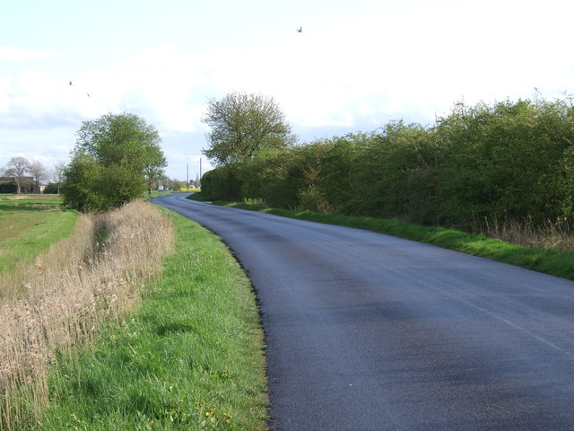
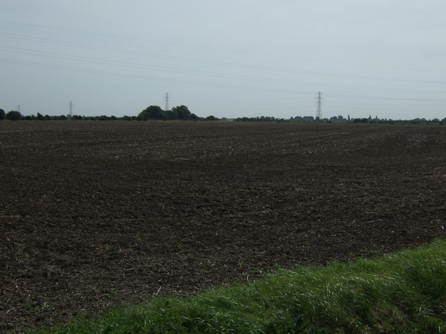
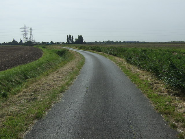
Coronation Channel is a picturesque freshwater body located in Lincolnshire, England. This enchanting waterway comprises a lake, pool, pond, and freshwater marsh, offering a diverse ecosystem and a haven for various flora and fauna.

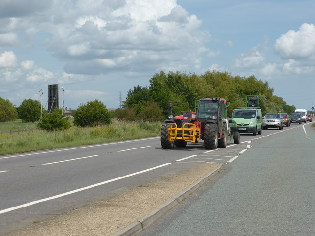
The lake is the central feature of Coronation Channel, spanned by a charming bridge that provides a scenic view of the surrounding landscape. It is a relatively large body of water, offering ample space for recreational activities such as boating and fishing. Anglers can find a variety of fish species inhabiting these waters, including perch, pike, and roach.

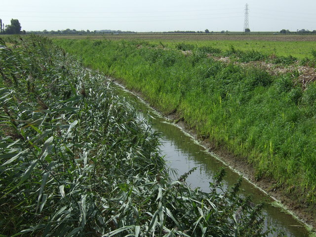
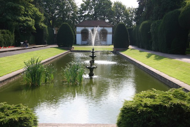
Adjacent to the lake, the pool and pond add to the natural beauty of Coronation Channel. These smaller water bodies are home to a plethora of aquatic plants and wildlife, including water lilies, frogs, and dragonflies. The stillness of the pool and pond invites tranquility, making them ideal spots for nature enthusiasts and photographers.

The freshwater marsh on the fringes of Coronation Channel is a vibrant and biodiverse habitat. It is characterized by tall grasses, sedges, and reeds, providing a safe haven for various bird species. Birdwatchers can spot reed warblers, herons, and even the elusive bittern in this marshland.

Coronation Channel, with its interconnected water features and surrounding marshland, offers a unique blend of natural beauty and recreational opportunities. Its idyllic setting attracts visitors seeking relaxation, wildlife observation, and outdoor activities. Whether one seeks the thrill of fishing, the serenity of nature, or simply a peaceful stroll along the water's edge, Coronation Channel is a must-visit destination in Lincolnshire.

If you have any feedback on the listing, please let us know in the comments section below.

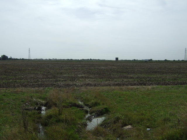
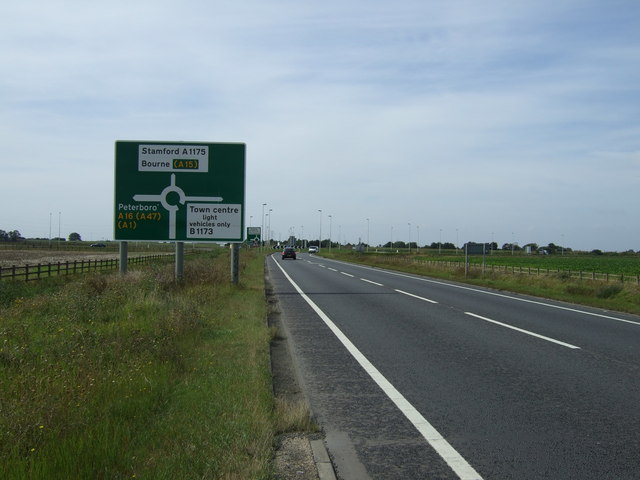
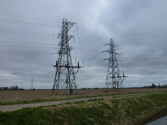
Coronation Channel Images

Images are sourced within 2km of 52.776799/-0.14226878 or Grid Reference TF2521. Thanks to Geograph Open Source API. All images are credited.

Mill Drove heading south
Farmland off Drain Bank
Drain Bank heading south
Drain beside Drain Bank
Farmland off the A16
A16 towards Peterborough
Unusual pylon near Cowbit The larger pylon is the start of a power line which tees off the main line and runs to an industrial estate on the southern edge of Spalding
Unusual pylon near Cowbit
The larger pylon is the start of a power line which tees off the main line and runs to an industrial estate on the southern edge of Spalding
Change of route The A16 Spalding Bypass used to go straight on at this point, toward Stamford, but it was re-routed in the early 21st century and this is where the new alignment starts.

Note, too the ER sign
Change of route
The A16 Spalding Bypass used to go straight on at this point, toward Stamford, but it was re-routed in the early 21st century and this is where the new alignment starts. Note, too the ER sign
Scania S500 Lorry Scania S500 belonging to Morgan Mclernon, registration ML19  FNU.  Morgan McLernon specialise in refrigerated transport, and are based at Lurgan in Northern Ireland.

This is the first S500 I remember seeing.   The S series have sleeper cabs, and this driver was asleep inside as I walked past. This is a 6x2, meaning that only one of the two rear axles is driven.
Scania S500 Lorry
Scania S500 belonging to Morgan Mclernon, registration ML19 FNU. Morgan McLernon specialise in refrigerated transport, and are based at Lurgan in Northern Ireland. This is the first S500 I remember seeing. The S series have sleeper cabs, and this driver was asleep inside as I walked past. This is a 6x2, meaning that only one of the two rear axles is driven.
Lorry in a lay-by Scania R450 of Transtolk in the Netherlands.
A refrigerated trunker
Lorry in a lay-by
Scania R450 of Transtolk in the Netherlands. A refrigerated trunker
You see a lot of these, round here One of Mr Turner's lorries.
It is a DAF XF 460, registration AX15 SLV
You see a lot of these, round here
One of Mr Turner's lorries. It is a DAF XF 460, registration AX15 SLV
You see a lot of these, round here This is a Freshlinc lorry, a DAF XF 460
You see a lot of these, round here
This is a Freshlinc lorry, a DAF XF 460
Mr Turner's Lorry A DAF XF 460, AX17 FFC, belonging to Turner's Transport
Mr Turner's Lorry
A DAF XF 460, AX17 FFC, belonging to Turner's Transport
Buffaload Logistics Lorry with airflow trailer, a Scania R420, registration NJ08OFG
Buffaload Logistics
Lorry with airflow trailer, a Scania R420, registration NJ08OFG
T.H. Clements Lorry A Scania, of some sort
T.H. Clements Lorry
A Scania, of some sort
Trailer for Morgan McLernon This is the trailer and livery of <a href="https://www.geograph.org.uk/photo/6177477">TF2419 : Scania S500 Lorry</a>
Trailer for Morgan McLernon
This is the trailer and livery of TF2419 : Scania S500 Lorry
Bale lifter This is a Manitou  compact telehandler, but I am not sure which model.  It probably dates from around the turn of the century.  Later models have a vacuum formed panel on the lower half of the door and a step.

The boom is fitted with a bale-grab.
Bale lifter
This is a Manitou compact telehandler, but I am not sure which model. It probably dates from around the turn of the century. Later models have a vacuum formed panel on the lower half of the door and a step. The boom is fitted with a bale-grab.
A16 lay-by
A16 lay-by
Show me another place!

Coronation Channel is located at Grid Ref: TF2521 (Lat: 52.776799, Lng: -0.14226878)

Administrative County: Lincolnshire

District: South Holland

Police Authority: Lincolnshire

What 3 Words

///zoom.itself.stay. Near Spalding, Lincolnshire

Related Wikis

Gordon Boswell Romany Museum

The Gordon Boswell Romany Museum is the lifetime's work of Gordon Boswell (died 27 August 2016, aged 76), who amassed a collection of artefacts, photographs...

Spalding High School, Lincolnshire

Spalding High School (SHS) is a grammar school for girls and a mixed sixth form located in Spalding, Lincolnshire, England. == Location and admissions... ==

Spalding War Memorial

Spalding War Memorial is a First World War memorial in the gardens of Ayscoughfee Hall (pronounced ) in Spalding, Lincolnshire, in eastern England. It...

Ayscoughfee Hall

Ayscoughfee Hall is a grade I listed building and modest associated parkland in central Spalding, Lincolnshire, England, and is a landmark on the fen...

St Mary and St Nicolas, Spalding

The Church of St Mary and St Nicolas is an active Church of England parish church in Spalding, Lincolnshire, England. It was built c. 1284 on the site...

Spalding Grammar School

Spalding Grammar School (SGS), fully known as The Queen Elizabeth Royal Free Grammar School Spalding, is an 11–18 boys' grammar school in Spalding, Lincolnshire...

Gleed Boys' School

Gleed Boys' School was a secondary school for boys aged 11 to 16, in Spalding, Lincolnshire, England. The school has been merged with Gleed Girls' Technology...

Spalding Academy, Lincolnshire

Spalding Academy, formerly Sir John Gleed School, is a mixed secondary school and sixth form in Spalding, Lincolnshire, England. The Sir John Gleed School...

Nearby Amenities

Located within 500m of 52.776799,-0.14226878
Bus Stop
Marlborough Avenue
Bus: yes
Naptan AtcoCode: 270002700302
Naptan Bearing: NW
Naptan CommonName: Marlborough Avenue
Naptan Indicator: adj
Naptan Landmark: Marlborough Avenue
Naptan NaptanCode: linagtpm
Naptan Street: Balmoral Avenue
Naptan Verified: no
Public Transport: platform
Source: naptan_import
Lat/Long: 52.7798935/-0.1471384
Bus Stop
Marlborough Avenue
Bus: yes
Naptan AtcoCode: 270002700303
Naptan Bearing: SE
Naptan CommonName: Marlborough Avenue
Naptan Indicator: opp
Naptan Landmark: Marlborough Avenue
Naptan NaptanCode: linagtpt
Naptan Street: Balmoral Avenue
Naptan Verified: no
Public Transport: platform
Source: naptan_import
Lat/Long: 52.7797114/-0.1464196
Bus Stop
Balmoral Avenue
Bus: yes
Naptan AtcoCode: 270002700305
Naptan Bearing: E
Naptan CommonName: Balmoral Avenue
Naptan Indicator: adj
Naptan Landmark: Balmoral Avenue
Naptan NaptanCode: linagtjd
Naptan Street: Holyrood Walk
Naptan Verified: no
Public Transport: platform
Source: naptan_import
Lat/Long: 52.7785918/-0.1442828
Bus Stop
Clarence Gardens
Bus: yes
Naptan AtcoCode: 270002700306
Naptan Bearing: NE
Naptan CommonName: Clarence Gardens
Naptan Indicator: adj
Naptan Landmark: Clarence Gardens
Naptan NaptanCode: linajdmp
Naptan Street: Holyrood Walk
Naptan Verified: no
Public Transport: platform
Source: naptan_import
Lat/Long: 52.7794123/-0.1428144
Bus Stop
Clay Lake Lane School
Bus: yes
Naptan AtcoCode: 270002700308
Naptan Bearing: SE
Naptan CommonName: Clay Lake Lane School
Naptan Indicator: opp
Naptan Landmark: School
Naptan NaptanCode: linagtma
Naptan Street: Clay Lake Lane
Naptan Verified: no
Public Transport: platform
Source: naptan_import
Lat/Long: 52.780441/-0.1430523
Bus Stop
Clay Lake Lane School
Bus: yes
Naptan AtcoCode: 2700LSCL3004
Naptan Bearing: NW
Naptan CommonName: Clay Lake Lane School
Naptan Indicator: adj
Naptan Landmark: School
Naptan NaptanCode: linawdwj
Naptan Street: Clay Lake Lane
Naptan Verified: no
Public Transport: platform
Source: naptan_import
Lat/Long: 52.7804535/-0.1432742
Entrance: main
Level: 0
Wheelchair: yes
Lat/Long: 52.7723214/-0.1428657
Power: pole
Source: bing
Lat/Long: 52.7728586/-0.1404561
Power: pole
Source: bing
Lat/Long: 52.772909/-0.1404373
Power: tower
Source: bing
Lat/Long: 52.772713/-0.141407
Power: pole
Source: bing
Lat/Long: 52.7729636/-0.1404065
Power: pole
Source: bing
Lat/Long: 52.7730204/-0.1403962
Power: tower
Lat/Long: 52.77306/-0.1410295
Power: tower
Lat/Long: 52.77311/-0.1415253
Power: transformer
Lat/Long: 52.7731542/-0.1410072
Power: transformer
Lat/Long: 52.7732013/-0.1414982
Clay Lake
Place: neighbourhood
Source: Bing
Lat/Long: 52.7802362/-0.1455077
Man Made: tower
Tower Type: communication
Lat/Long: 52.7733548/-0.1430651
Welland Power
Office: company
Lat/Long: 52.7739641/-0.1425291
Power: pole
Lat/Long: 52.7724153/-0.1409199
Spalding Squash Club
Addr City: Spalding
Addr Country: GB
Addr Postcode: PE11 2RY
Addr Street: Holyrood Walk
Fhrs Authority: South Holland
Fhrs Id: 243516
Fhrs Local Authority Id: 3183
Leisure: sports_centre
Lat/Long: 52.7797/-0.1432112
Generator Method: photovoltaic
Generator Output Electricity: yes
Generator Source: solar
Generator Type: solar_photovoltaic_panel
Location: roof
Power: generator
Lat/Long: 52.7784062/-0.1490575
Generator Method: photovoltaic
Generator Output Electricity: yes
Generator Source: solar
Generator Type: solar_photovoltaic_panel
Location: roof
Power: generator
Lat/Long: 52.778231/-0.1475152
Generator Method: photovoltaic
Generator Output Electricity: yes
Generator Source: solar
Generator Type: solar_photovoltaic_panel
Location: roof
Power: generator
Lat/Long: 52.7783186/-0.1481267
Generator Method: photovoltaic
Generator Output Electricity: yes
Generator Source: solar
Generator Type: solar_photovoltaic_panel
Location: roof
Power: generator
Lat/Long: 52.7783478/-0.1480704
Generator Method: photovoltaic
Generator Output Electricity: yes
Generator Source: solar
Generator Type: solar_photovoltaic_panel
Location: roof
Power: generator
Lat/Long: 52.7782488/-0.1477083
Generator Method: photovoltaic
Generator Output Electricity: yes
Generator Source: solar
Generator Type: solar_photovoltaic_panel
Location: roof
Power: generator
Lat/Long: 52.7787801/-0.1446077
Generator Method: photovoltaic
Generator Output Electricity: yes
Generator Source: solar
Generator Type: solar_photovoltaic_panel
Location: roof
Power: generator
Lat/Long: 52.7772027/-0.1416532
Generator Method: photovoltaic
Generator Output Electricity: yes
Generator Source: solar
Generator Type: solar_photovoltaic_panel
Location: roof
Power: generator
Lat/Long: 52.778272/-0.1389281
Generator Method: photovoltaic
Generator Output Electricity: yes
Generator Source: solar
Generator Type: solar_photovoltaic_panel
Location: roof
Power: generator
Lat/Long: 52.7796364/-0.1380456
Generator Method: photovoltaic
Generator Output Electricity: yes
Generator Source: solar
Generator Type: solar_photovoltaic_panel
Location: roof
Power: generator
Lat/Long: 52.7799869/-0.1380081
Generator Method: photovoltaic
Generator Output Electricity: yes
Generator Source: solar
Generator Type: solar_photovoltaic_panel
Location: roof
Power: generator
Lat/Long: 52.7799593/-0.1396496
Generator Method: photovoltaic
Generator Output Electricity: yes
Generator Source: solar
Generator Type: solar_photovoltaic_panel
Location: roof
Power: generator
Lat/Long: 52.7806479/-0.1392821
Generator Method: photovoltaic
Generator Output Electricity: yes
Generator Source: solar
Generator Type: solar_photovoltaic_panel
Location: roof
Power: generator
Lat/Long: 52.7802747/-0.1394324
Generator Method: photovoltaic
Generator Output Electricity: yes
Generator Source: solar
Generator Type: solar_photovoltaic_panel
Location: roof
Power: generator
Lat/Long: 52.7802877/-0.1392634
Generator Method: photovoltaic
Generator Output Electricity: yes
Generator Source: solar
Generator Type: solar_photovoltaic_panel
Location: roof
Power: generator
Lat/Long: 52.7794343/-0.1403068
Generator Method: photovoltaic
Generator Output Electricity: yes
Generator Source: solar
Generator Type: solar_photovoltaic_panel
Location: roof
Power: generator
Lat/Long: 52.7795008/-0.1408298
Generator Method: photovoltaic
Generator Output Electricity: yes
Generator Source: solar
Generator Type: solar_photovoltaic_panel
Location: roof
Power: generator
Lat/Long: 52.7795235/-0.1407654
Clay Lake Generation
Brand: National Grid
Brand Wikidata: Q1465461
Operator: National Grid Electricity Distribution Plc
Operator Old: Western Power Distribution
Operator Wikidata: Q7988183
Owner: National Grid Electricity Distribution (East Midlands) Plc
Owner Wikidata: Q114348127
Power: substation
Ref GB Wpd Site: 690069
Voltage: 33000
Lat/Long: 52.7745108/-0.1422161
Note: End of Public Highway
Lat/Long: 52.7762726/-0.1423342
Gousto
Man Made: works
Lat/Long: 52.7756444/-0.1392154
FESA
Man Made: works
Lat/Long: 52.7754453/-0.1380121
Produce Logistics
Man Made: works
Lat/Long: 52.7757493/-0.1397251
Cabinets Direct
Man Made: works
Lat/Long: 52.7752633/-0.1412646
Taxi
Smart Cabs
Lat/Long: 52.7745426/-0.142777
Note: End of Public Highway
Lat/Long: 52.7762649/-0.1423375
Note: End of Public Highway
Lat/Long: 52.7762766/-0.1423664
Training
Act II Theatre Company
Lat/Long: 52.7741649/-0.1430003
The data included in this document is from www.openstreetmap.org. The data is made available under ODbL.

Have you been to Coronation Channel?

Leave your review of Coronation Channel below (or comments, questions and feedback).