Leg of Mutton Pond
Lake, Pool, Pond, Freshwater Marsh in Middlesex
England
Leg of Mutton Pond

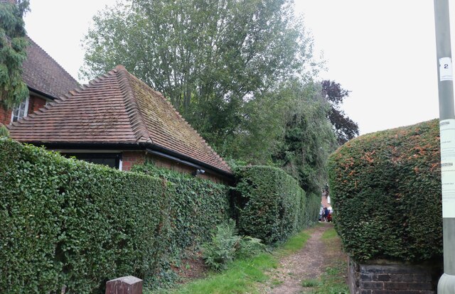
Leg of Mutton Pond, located in the county of Middlesex in England, is a picturesque lake with the status of a Site of Special Scientific Interest (SSSI). Covering an area of approximately 2.5 hectares, it is nestled within the green expanse of Bushy Park, one of London's Royal Parks. The pond's peculiar name arises from its shape, which resembles a leg of mutton when viewed from above.
This freshwater body is a popular recreational spot for both locals and tourists. Its crystal-clear waters are home to a diverse range of aquatic flora and fauna, making it an important habitat for wildlife. Birdwatching enthusiasts flock to the lake to observe a variety of waterfowl, including coots, moorhens, and several species of ducks. Reed beds and water lilies line the edges of the pond, creating a serene and tranquil atmosphere.
The pond also serves as a venue for water-based activities. Visitors can hire rowing boats and pedalos, allowing them to explore the pond's calm waters at their leisure. Fishing is another popular pastime here, with anglers trying their luck in catching carp, roach, and perch.
Leg of Mutton Pond is not only a recreational hub but also plays a vital role in the ecosystem of Bushy Park. Its freshwater marsh provides essential habitat for many species of plants and animals, contributing to the biodiversity of the area.
Overall, Leg of Mutton Pond offers a peaceful escape from the hustle and bustle of city life, allowing visitors to connect with nature and enjoy the beauty of this idyllic freshwater lake.
If you have any feedback on the listing, please let us know in the comments section below.
Leg of Mutton Pond Images
Images are sourced within 2km of 51.564795/-0.18833273 or Grid Reference TQ2586. Thanks to Geograph Open Source API. All images are credited.


Leg of Mutton Pond is located at Grid Ref: TQ2586 (Lat: 51.564795, Lng: -0.18833273)
Unitary Authority: Camden
Police Authority: Metropolitan
What 3 Words
///comic.quick.ranges. Near Belsize Park, London
Nearby Locations
Related Wikis

Golders Hill Park
Golders Hill Park is a formal park in Golders Green, London. It is managed by the City of London Corporation as part of the parkland and commons in and...
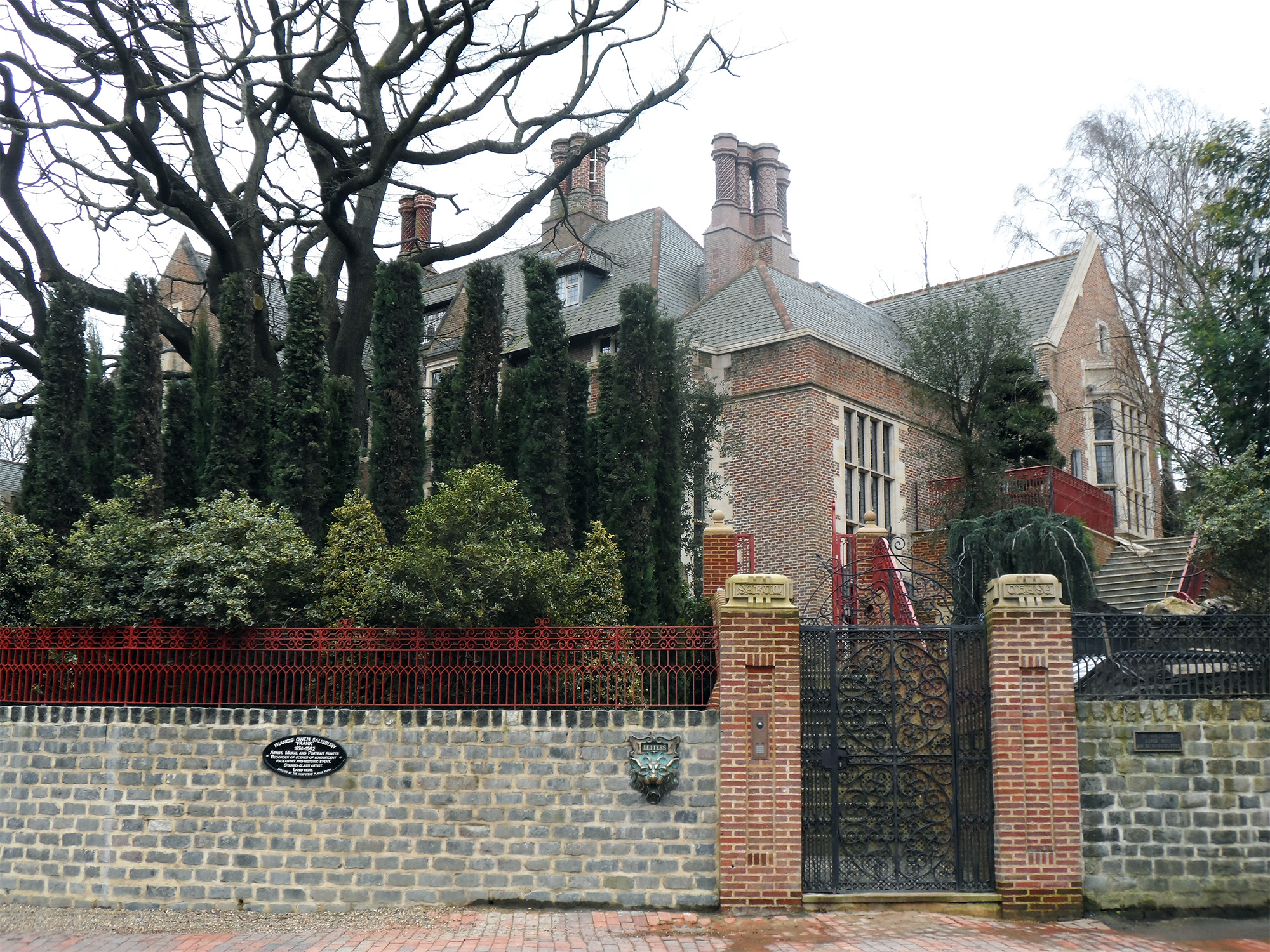
Sarum Chase
Sarum Chase is a large detached neo-Tudor mansion, at 23 West Heath Road, Hampstead, London, described by Nicholas Pevsner as "pure Hollywood Tudor".The...
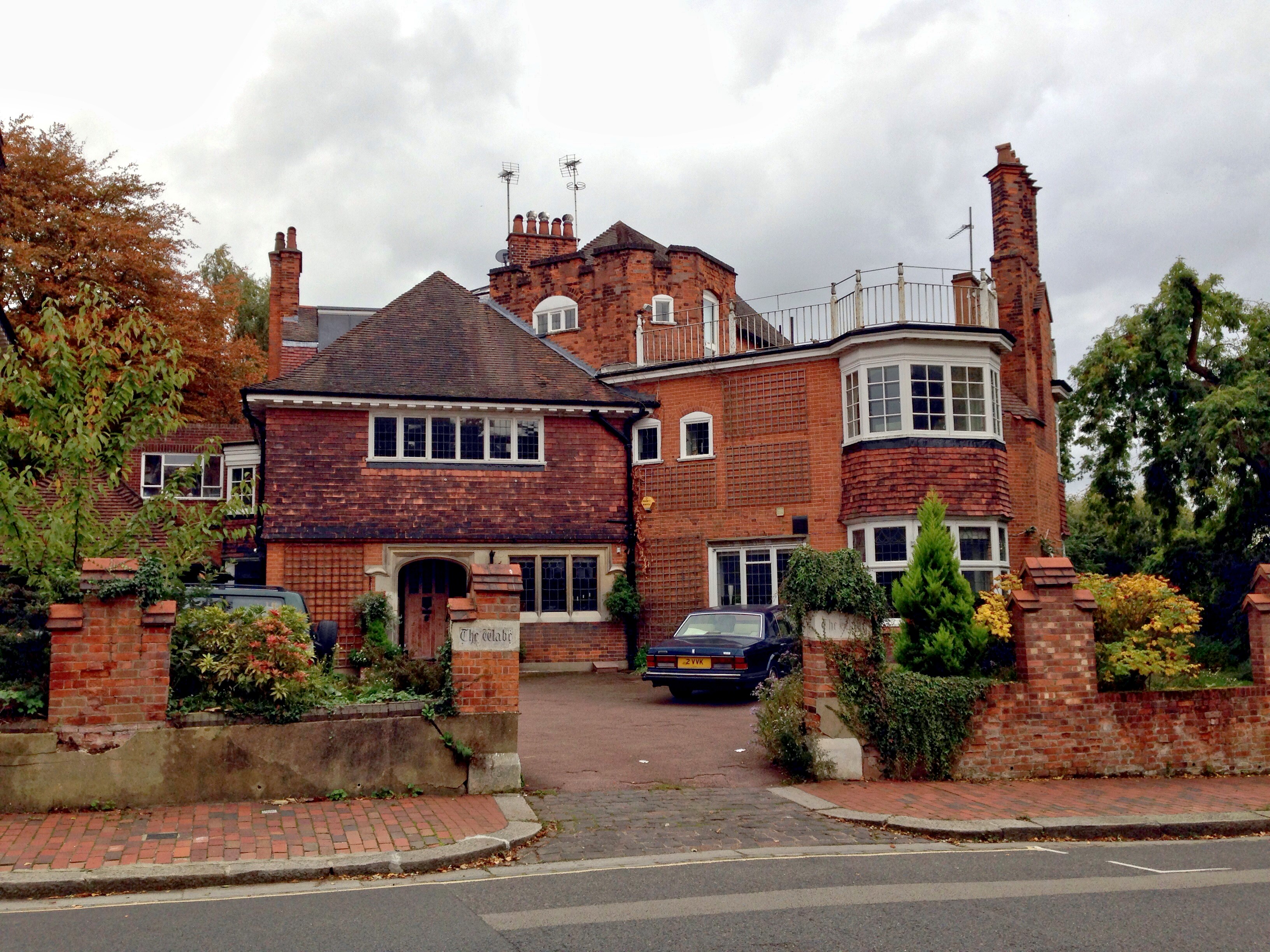
The Wabe
The Wabe is an architecturally eclectic detached house on Redington Road, Hampstead, London, built in 1902–1903 for the academic and mathematician William...
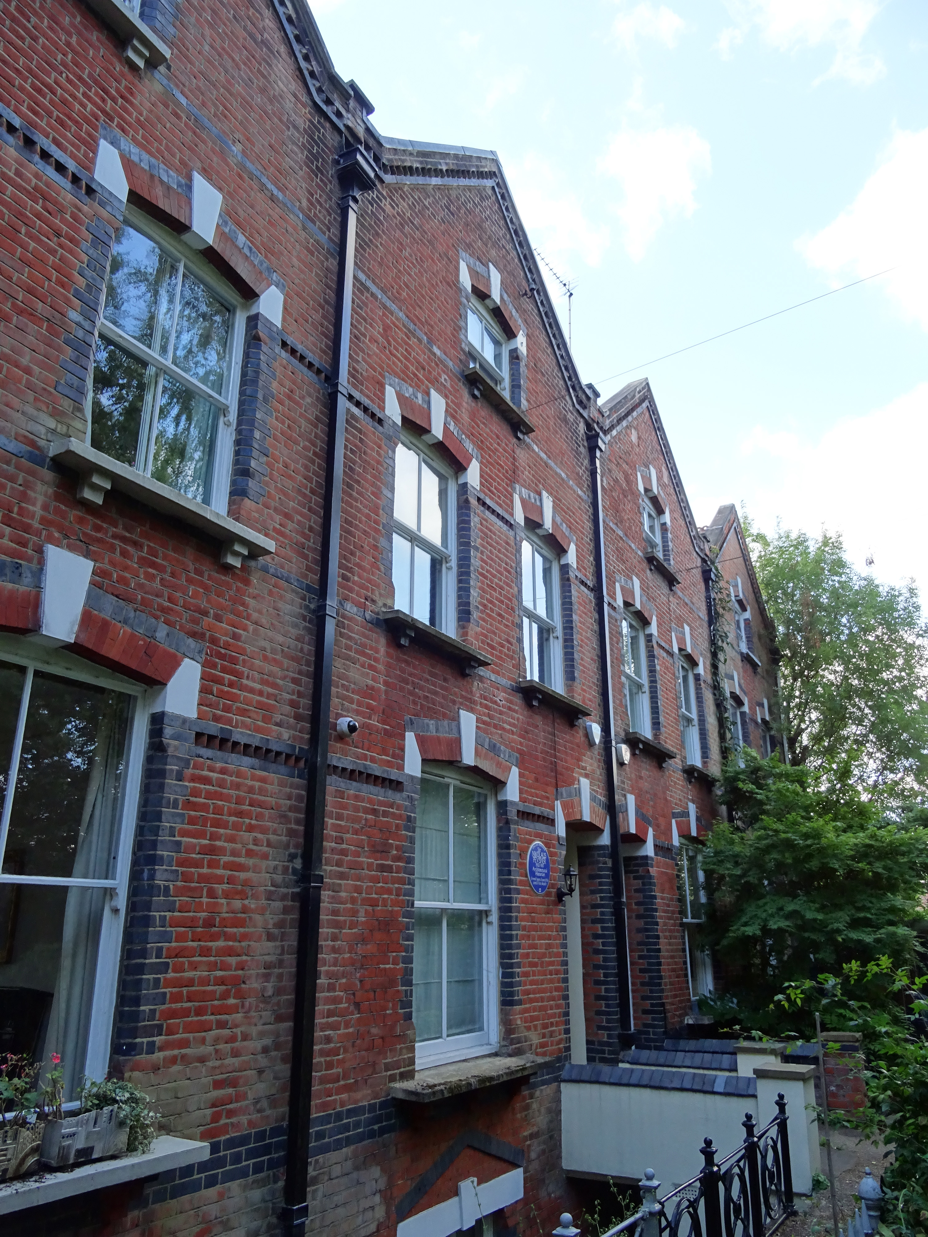
2, Wildwood Terrace
2, Wildwood Terrace, Hampstead, in the London Borough of Camden, is a 19th-century terraced house. It was the London home of Sir Nikolaus Pevsner, the...
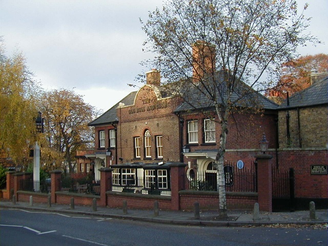
The Old Bull and Bush
The Old Bull and Bush is a Grade II listed public house at North End near Hampstead Heath in London, which gave its name to the music hall song "Down at...

Inverforth House
Inverforth House (formally known as The Hill) is a large detached house on North End Way at North End on the outskirts of Hampstead in the London Borough...
Hendon South (UK Parliament constituency)
Hendon South was a constituency in the former Municipal Borough of Hendon (in 1965 subsumed into the London Borough of Barnet) which returned one Member...

1993 Finchley Road bombings
The Finchley Road bombings occurred on 2 October 1993, when the Provisional Irish Republican Army (IRA) detonated three time bombs on Finchley Road in...
Nearby Amenities
Located within 500m of 51.564795,-0.18833273Have you been to Leg of Mutton Pond?
Leave your review of Leg of Mutton Pond below (or comments, questions and feedback).