Kingsdown Clump
Wood, Forest in Somerset Somerset West and Taunton
England
Kingsdown Clump
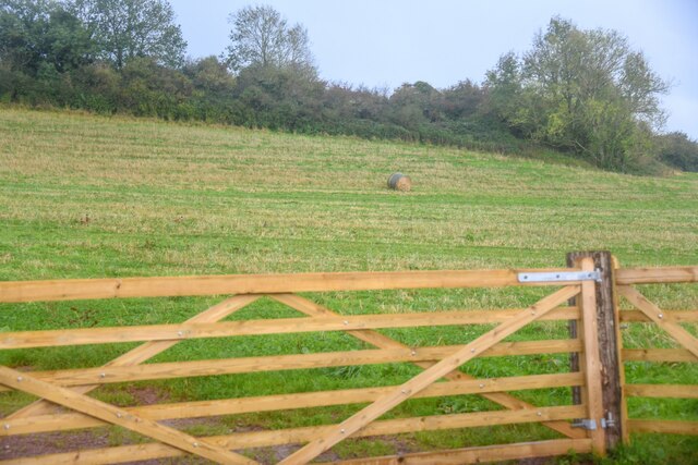
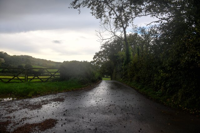
Kingsdown Clump, located in Somerset, England, is a picturesque wood or forest that spans over an area of approximately 200 acres. Nestled within the rolling hills of the Mendip District, this natural attraction is a popular destination for nature enthusiasts, hikers, and those seeking a peaceful retreat.
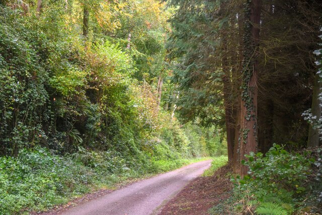
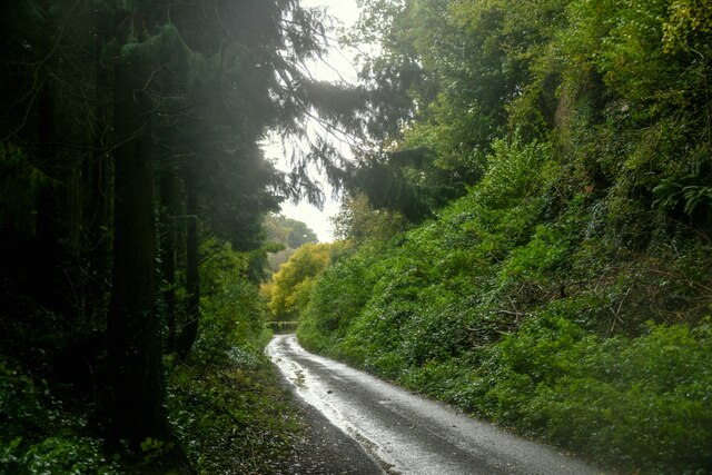
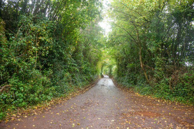
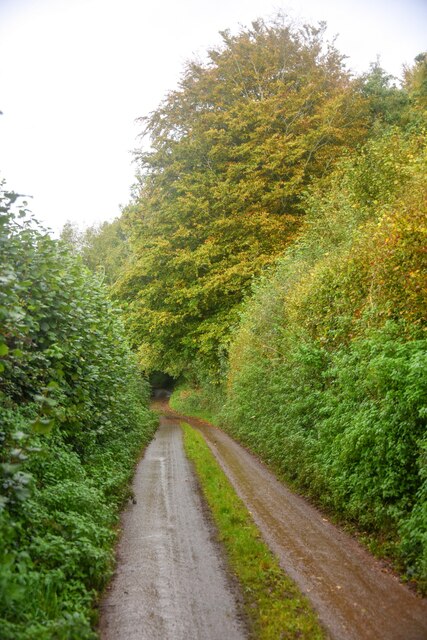
The forest is predominantly composed of deciduous trees, including oak, beech, and ash, which create a dense canopy overhead, providing shade and shelter for a variety of wildlife. The forest floor is covered in a thick carpet of moss, ferns, and wildflowers, adding to the charm and beauty of the landscape.
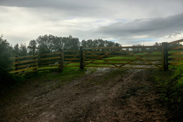
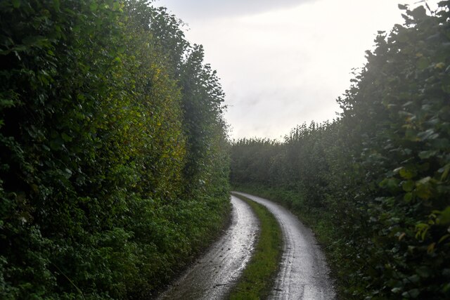
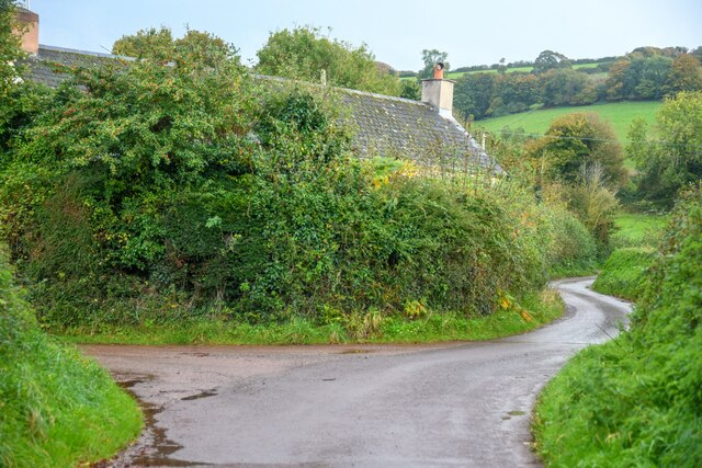
Traversing Kingsdown Clump, visitors will discover a network of well-maintained trails and footpaths that wind their way through the woodland. These paths offer stunning views of the surrounding countryside and lead to hidden gems such as tranquil ponds and babbling brooks.
The forest is home to a diverse range of wildlife, including deer, foxes, badgers, and a myriad of bird species. Birdwatchers will delight in spotting woodpeckers, owls, and various migratory birds that make Kingsdown Clump their temporary home.
For those interested in history, the clump also holds archaeological significance. The remains of an Iron Age hillfort can be found at the summit, providing a glimpse into the area's ancient past.
Overall, Kingsdown Clump in Somerset offers a serene and enchanting woodland experience, where visitors can immerse themselves in nature, explore scenic trails, and appreciate the biodiversity that thrives within this captivating forest.
If you have any feedback on the listing, please let us know in the comments section below.
Kingsdown Clump Images
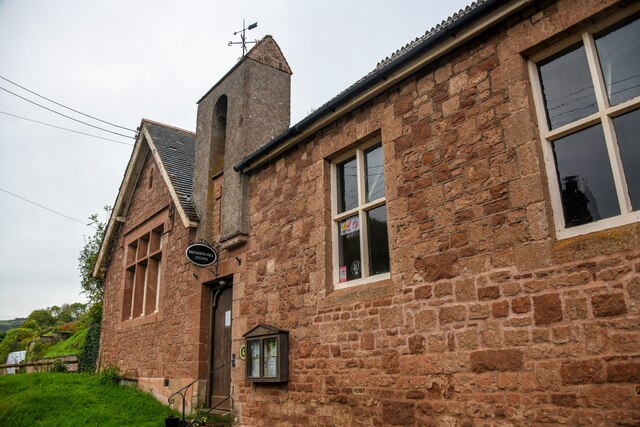
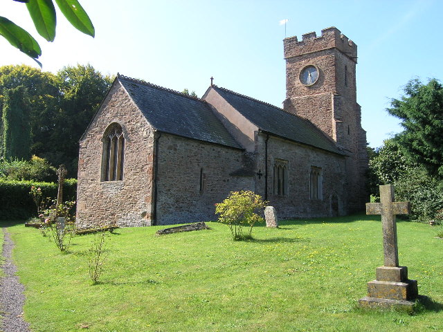
Images are sourced within 2km of 51.125793/-3.3662335 or Grid Reference ST0437. Thanks to Geograph Open Source API. All images are credited.

Kingsdown Clump is located at Grid Ref: ST0437 (Lat: 51.125793, Lng: -3.3662335)
Administrative County: Somerset
District: Somerset West and Taunton
Police Authority: Avon and Somerset
What 3 Words
///identify.crab.budgeted. Near Williton, Somerset
Nearby Locations
Related Wikis

Nettlecombe Court
Nettlecombe Court and park is an old estate on the northern fringes of the Brendon Hills, within the Exmoor National Park. They are within the civil parish...
Nettlecombe, Somerset
Nettlecombe is a civil parish in the English county of Somerset. The parish covers a rural area below the Brendon Hills, comprising the small hamlets of...

Roadwater railway station
The Roadwater railway station was an intermediate station on the West Somerset Mineral Railway (WSMR), which was built primarily to carry iron ore from...

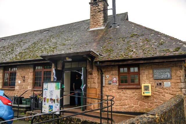
Roadwater
Roadwater is a village 3 miles (5 km) south-west of Williton, on the northern edge of the Exmoor National Park, in Somerset, England. == History == The...
Clitsome railway station
Clitsome was a recognised stopping place, not a formal station, on the West Somerset Mineral Railway (WSMR). The railway's prime purpose was to carry iron...
Comberow railway station
Comberow was an intermediate station on the West Somerset Mineral Railway (WSMR), which was built primarily to carry iron ore from mines to Watchet harbour...
Monksilver
Monksilver is a village 3 miles (5 km) west of the town of Williton in Somerset, England, on the eastern flank of the Brendon Hills and the border of the...
Torre (WSMR) railway station
Torre was a recognised stopping place, not a formal station, on the West Somerset Mineral Railway (WSMR). The railway's prime purpose was to carry iron...
Have you been to Kingsdown Clump?
Leave your review of Kingsdown Clump below (or comments, questions and feedback).