Chidgley Hill
Hill, Mountain in Somerset Somerset West and Taunton
England
Chidgley Hill
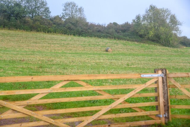
Chidgley Hill is a prominent hill located in the county of Somerset, England. With an elevation reaching up to 278 meters (912 feet) above sea level, it is considered one of the highest points in the region. Situated near the village of Ashcott, Chidgley Hill offers breathtaking panoramic views of the surrounding countryside, making it a popular destination for tourists and hikers alike.
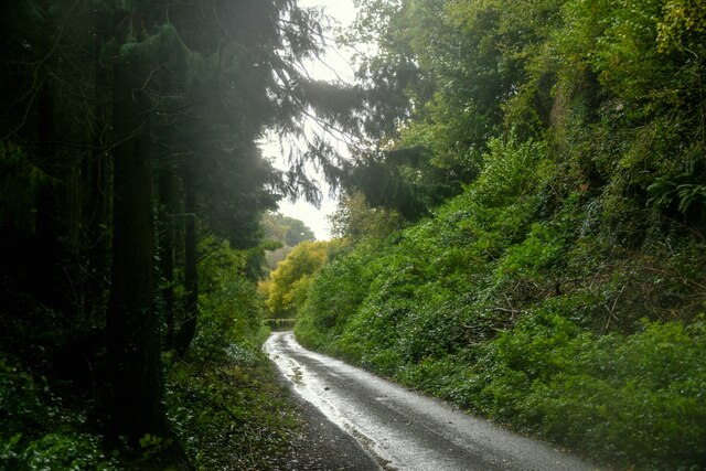
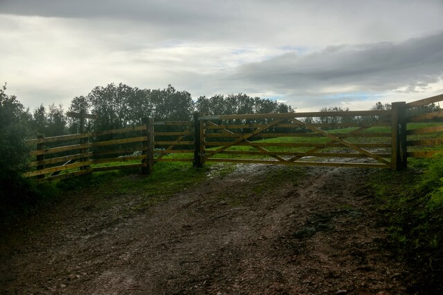
The hill features a mix of grassy slopes, rocky outcrops, and woodland areas, providing a diverse habitat for a variety of flora and fauna. The lower slopes are predominantly covered in grasses and wildflowers, while the upper sections are characterized by heathland and scrub vegetation. This diverse ecosystem supports a range of wildlife, including birds, small mammals, and reptiles.
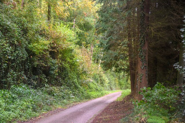
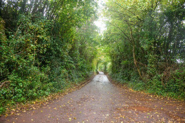
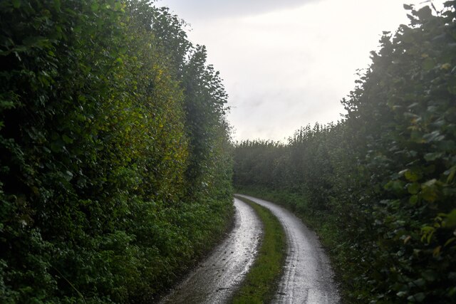
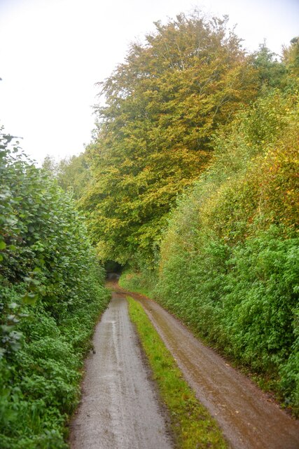
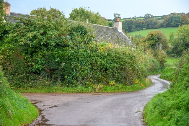
A network of footpaths and trails crisscrosses Chidgley Hill, allowing visitors to explore the area at their own pace. The hill is often frequented by walkers and nature enthusiasts who come to enjoy the peaceful surroundings and observe the local wildlife. On clear days, the summit offers stunning views of the Somerset Levels, Glastonbury Tor, and the Mendip Hills in the distance.
Chidgley Hill also holds historical significance, with evidence of ancient settlements and burial mounds found in the area. Archaeological excavations have revealed artifacts dating back thousands of years, providing insights into the region's past. Today, the hill serves as a reminder of Somerset's rich cultural heritage and natural beauty, attracting visitors from near and far.
If you have any feedback on the listing, please let us know in the comments section below.
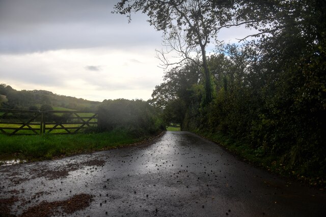
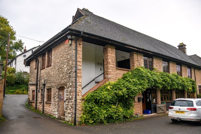
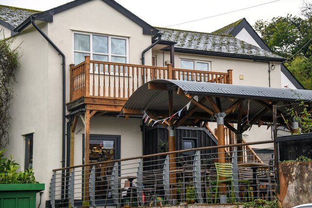
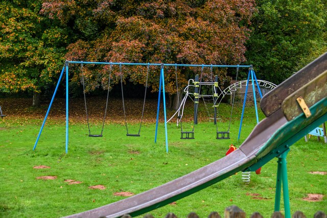
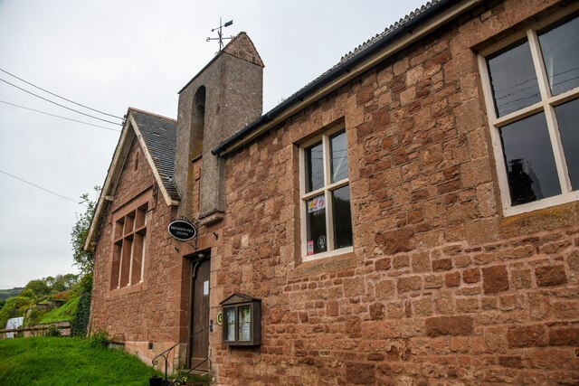
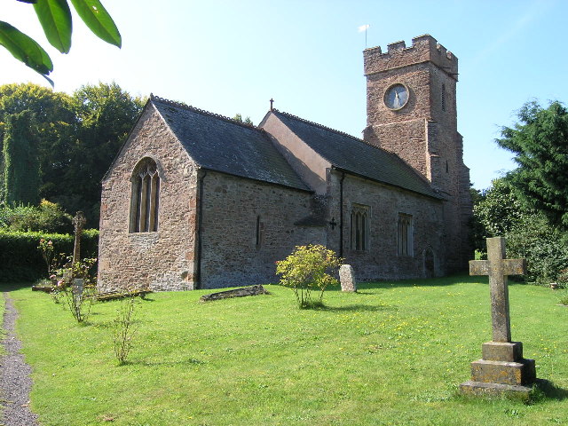
Chidgley Hill Images
Images are sourced within 2km of 51.125169/-3.3673583 or Grid Reference ST0437. Thanks to Geograph Open Source API. All images are credited.

Chidgley Hill is located at Grid Ref: ST0437 (Lat: 51.125169, Lng: -3.3673583)
Administrative County: Somerset
District: Somerset West and Taunton
Police Authority: Avon and Somerset
Also known as: Kings Wood Hill
What 3 Words
///contracts.keepers.embodied. Near Williton, Somerset
Nearby Locations
Related Wikis

Nettlecombe Court
Nettlecombe Court and park is an old estate on the northern fringes of the Brendon Hills, within the Exmoor National Park. They are within the civil parish...
Nettlecombe, Somerset
Nettlecombe is a civil parish in the English county of Somerset. The parish covers a rural area below the Brendon Hills, comprising the small hamlets of...

Roadwater railway station
The Roadwater railway station was an intermediate station on the West Somerset Mineral Railway (WSMR), which was built primarily to carry iron ore from...

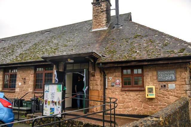
Roadwater
Roadwater is a village 3 miles (5 km) south-west of Williton, on the northern edge of the Exmoor National Park, in Somerset, England. == History == The...
Clitsome railway station
Clitsome was a recognised stopping place, not a formal station, on the West Somerset Mineral Railway (WSMR). The railway's prime purpose was to carry iron...
Comberow railway station
Comberow was an intermediate station on the West Somerset Mineral Railway (WSMR), which was built primarily to carry iron ore from mines to Watchet harbour...
Monksilver
Monksilver is a village 3 miles (5 km) west of the town of Williton in Somerset, England, on the eastern flank of the Brendon Hills and the border of the...
Torre (WSMR) railway station
Torre was a recognised stopping place, not a formal station, on the West Somerset Mineral Railway (WSMR). The railway's prime purpose was to carry iron...
Have you been to Chidgley Hill?
Leave your review of Chidgley Hill below (or comments, questions and feedback).