Ash Copse
Wood, Forest in Somerset Somerset West and Taunton
England
Ash Copse
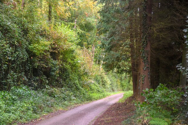
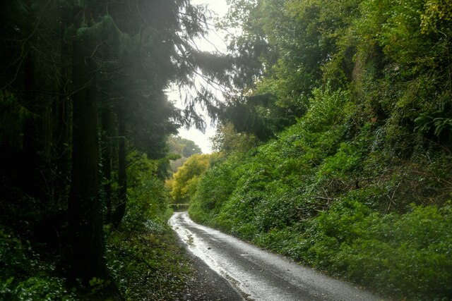
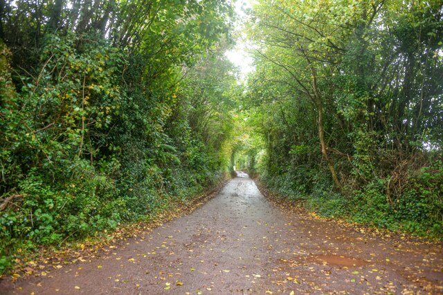
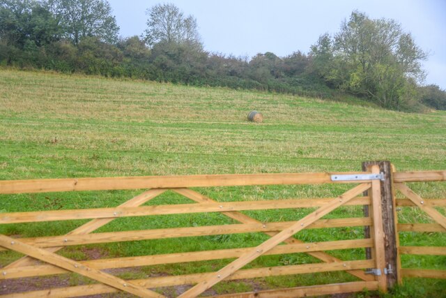
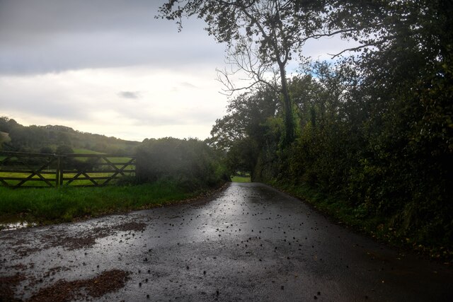
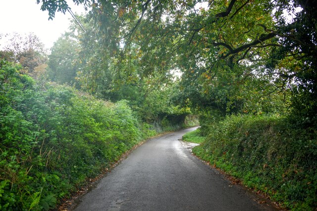
Ash Copse is a woodland located in Somerset, England. Situated in the southwestern part of the county, it covers an area of approximately 50 hectares. The copse is primarily composed of ash trees, hence its name, and is classified as a mixed broadleaf forest.
The woodland is renowned for its natural beauty and biodiversity. It features a dense canopy of mature ash trees, with an understory consisting of various shrubs, ferns, and wildflowers. The forest floor is covered in a thick layer of leaf litter, providing a habitat for a wide range of plants and small creatures.
Ash Copse is not only visually appealing but also serves as an important ecological site. It provides a sanctuary for numerous bird species, including woodpeckers, owls, and songbirds. Mammals such as deer, foxes, and badgers can also be found within the woodland. Additionally, the copse supports a diverse insect population, including butterflies, bees, and beetles.
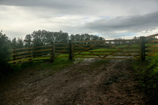
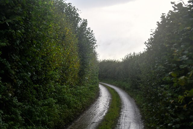
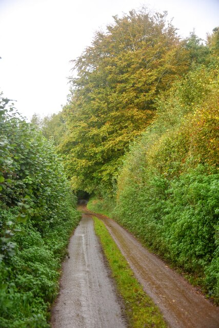
The woodland is accessible to the public and offers several walking trails, allowing visitors to explore its natural wonders. It is a popular destination for nature enthusiasts, hikers, and photographers. The peaceful ambiance of Ash Copse provides a tranquil escape from the hustle and bustle of everyday life.
Efforts have been made to preserve and maintain the ecological integrity of Ash Copse. Conservation organizations and local authorities work together to manage the woodland, ensuring its continued protection for future generations to enjoy.
If you have any feedback on the listing, please let us know in the comments section below.
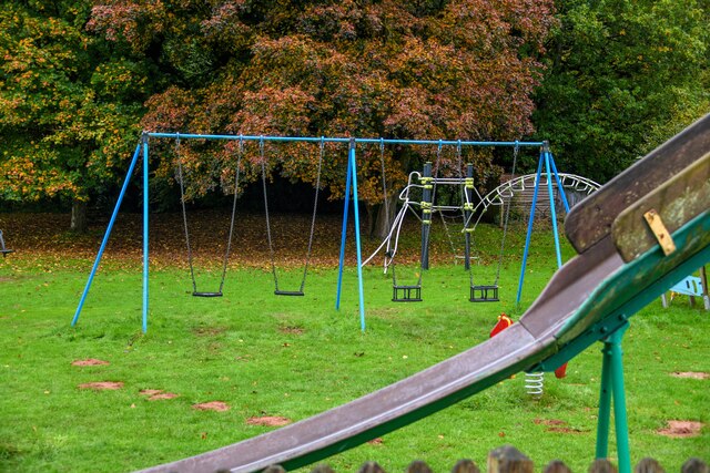
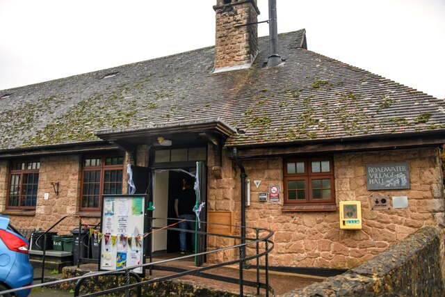
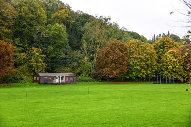
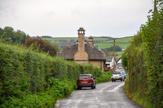
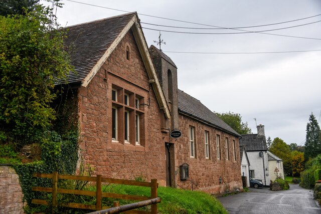
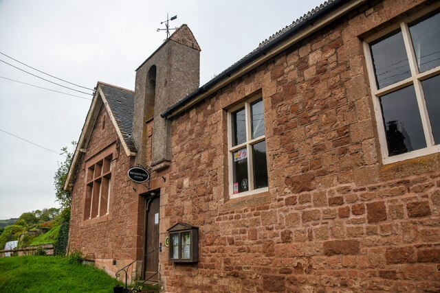
Ash Copse Images
Images are sourced within 2km of 51.133193/-3.3709398 or Grid Reference ST0437. Thanks to Geograph Open Source API. All images are credited.
Ash Copse is located at Grid Ref: ST0437 (Lat: 51.133193, Lng: -3.3709398)
Administrative County: Somerset
District: Somerset West and Taunton
Police Authority: Avon and Somerset
What 3 Words
///crunching.ribcage.pushed. Near Williton, Somerset
Nearby Locations
Related Wikis

Roadwater
Roadwater is a village 3 miles (5 km) south-west of Williton, on the northern edge of the Exmoor National Park, in Somerset, England. == History == The...

Roadwater railway station
The Roadwater railway station was an intermediate station on the West Somerset Mineral Railway (WSMR), which was built primarily to carry iron ore from...
Clitsome railway station
Clitsome was a recognised stopping place, not a formal station, on the West Somerset Mineral Railway (WSMR). The railway's prime purpose was to carry iron...

Nettlecombe Court
Nettlecombe Court and park is an old estate on the northern fringes of the Brendon Hills, within the Exmoor National Park. They are within the civil parish...
Nettlecombe, Somerset
Nettlecombe is a civil parish in the English county of Somerset. The parish covers a rural area below the Brendon Hills, comprising the small hamlets of...
Torre (WSMR) railway station
Torre was a recognised stopping place, not a formal station, on the West Somerset Mineral Railway (WSMR). The railway's prime purpose was to carry iron...

Cleeve Abbey
Cleeve Abbey is a medieval monastery located near the village of Washford, in Somerset, England. It is a Grade I listed building and has been scheduled...
Comberow railway station
Comberow was an intermediate station on the West Somerset Mineral Railway (WSMR), which was built primarily to carry iron ore from mines to Watchet harbour...
Have you been to Ash Copse?
Leave your review of Ash Copse below (or comments, questions and feedback).