Nettlecombe

Civil Parish in Somerset Somerset West and Taunton

England

Nettlecombe

Old Cleve : Road A small country lane.
Old Cleve : Road Credit: Lewis Clarke

Nettlecombe is a civil parish located in the county of Somerset, England. It is situated in the district of West Somerset and covers an area of approximately 7 square kilometers. The parish is home to a small population of around 200 residents.

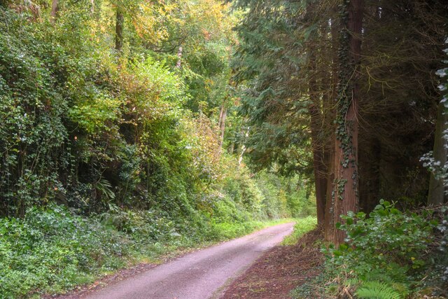
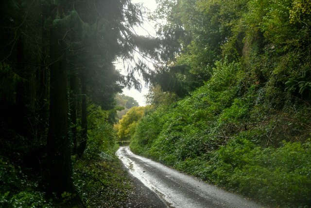
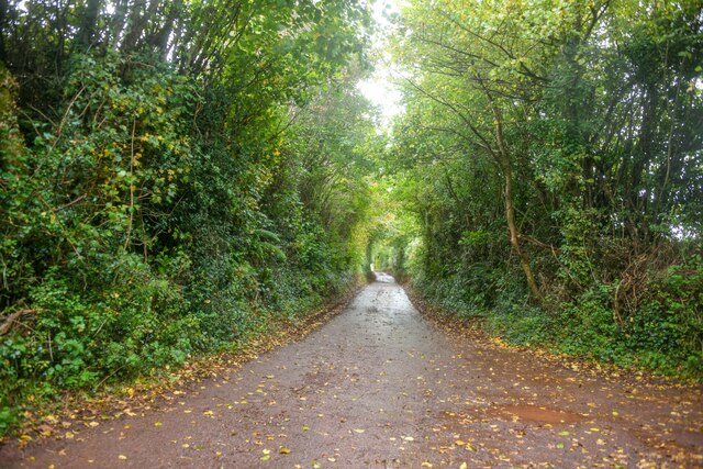
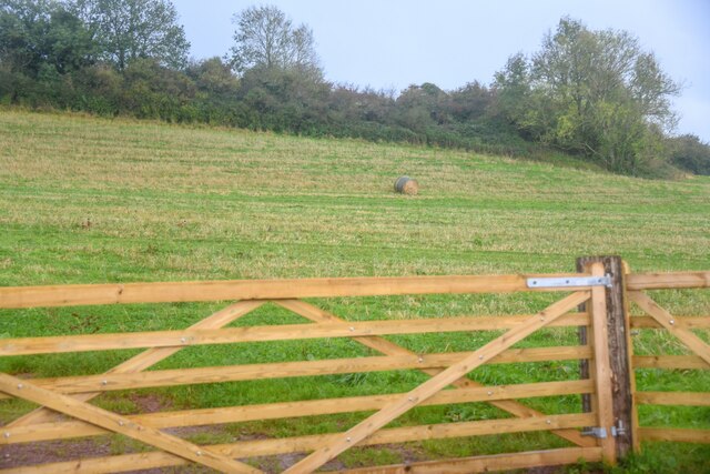
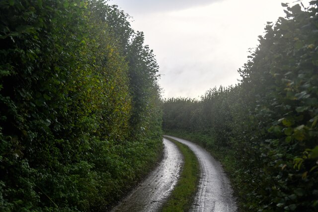
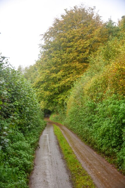
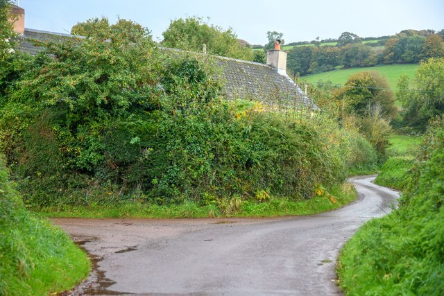
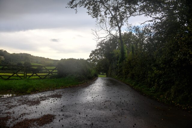
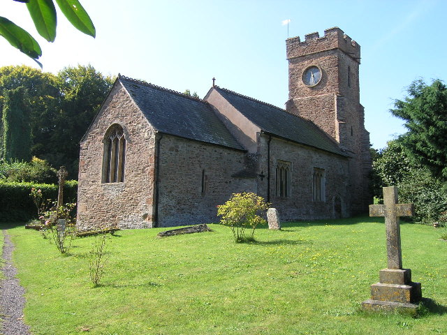
Nettlecombe is primarily a rural area characterized by its picturesque landscapes and rolling hills. The village itself is quaint and charming, with a scattering of traditional stone-built cottages and farmhouses. The centerpiece of the village is the historic St. Mary's Church, which dates back to the 13th century and stands as a testament to the area's rich history.

The parish is surrounded by beautiful countryside, making it a popular destination for outdoor enthusiasts. There are several walking and cycling trails that crisscross the area, offering stunning views of the surrounding countryside and opportunities to spot local wildlife.

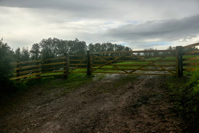
Nettlecombe is also known for its agricultural heritage, with farming playing a significant role in the local economy. The fertile land supports a variety of agricultural activities, including livestock rearing and crop cultivation.

Although Nettlecombe may be small in size, it offers a peaceful and idyllic retreat for those looking to escape the hustle and bustle of city life. The close-knit community and friendly atmosphere make it a welcoming place to visit or call home.

If you have any feedback on the listing, please let us know in the comments section below.

Nettlecombe Images

Images are sourced within 2km of 51.125185/-3.360532 or Grid Reference ST0437. Thanks to Geograph Open Source API. All images are credited.

Old Cleve : Road A small country lane.
Old Cleve : Road
A small country lane.
Old Cleve : Road A road heads through the countryside.
Old Cleve : Road
A road heads through the countryside.
Nettlecombe : Harper's Lane Looking along a country lane.
Nettlecombe : Harper's Lane
Looking along a country lane.
Nettlecombe : Field A grassy field beyond the gate.
Nettlecombe : Field
A grassy field beyond the gate.
Nettlecombe : Field A grassy field beyond the gate.
Nettlecombe : Field
A grassy field beyond the gate.
Nettlecombe : Woodadvent Lane A small country lane.
Nettlecombe : Woodadvent Lane
A small country lane.
Nettlecombe : Woodadvent Lane A small country lane.
Nettlecombe : Woodadvent Lane
A small country lane.
Nettlecombe : Vemplett's Cross Looking along the road.
Nettlecombe : Vemplett's Cross
Looking along the road.
Nettlecombe : Slade Lane Looking along Slade Lane from Vemplett's Cross.
Nettlecombe : Slade Lane
Looking along Slade Lane from Vemplett's Cross.
Leighland Chapel Ford There are warnings at either end of this narrow byway with photographs of stranded delivery vans. On the day of our visit the ford was muddy but 'dry' and passable in both directions.
Leighland Chapel Ford
There are warnings at either end of this narrow byway with photographs of stranded delivery vans. On the day of our visit the ford was muddy but 'dry' and passable in both directions.
Roadside stall at Traphole The new retail?
Roadside stall at Traphole
The new retail?
Old Milestone by the B3190, Sticklepath, Old Cleeve parish Metal plate attached to stone post by the B3190, in parish of Old Cleeve (West Somerset District), hamlet of Sticklepath, beside road on bank, on West side of road. Minehead iron plate, erected by the Minehead & Bampton Road turnpike trust in the 19th century. 

Inscription reads:- 
5
MILES
To
Watchet
Carved benchmark lower front.

Grade II listed.  List Entry Number: 1345598 <span class="nowrap"><a title="https://historicengland.org.uk/listing/the-list/list-entry/1345598" rel="nofollow ugc noopener" href="https://historicengland.org.uk/listing/the-list/list-entry/1345598">Link</a><img style="margin-left:2px;" alt="External link" title="External link - shift click to open in new window" src="https://s1.geograph.org.uk/img/external.png" width="10" height="10"/></span>

Milestone Society National ID: SO_WTTV05
Old Milestone by the B3190, Sticklepath, Old Cleeve parish
Metal plate attached to stone post by the B3190, in parish of Old Cleeve (West Somerset District), hamlet of Sticklepath, beside road on bank, on West side of road. Minehead iron plate, erected by the Minehead & Bampton Road turnpike trust in the 19th century. Inscription reads:- 5 MILES To Watchet Carved benchmark lower front. Grade II listed. List Entry Number: 1345598 LinkExternal link Milestone Society National ID: SO_WTTV05
Direction Sign - Signpost by the B3190, near Nettlecombe Pyramid finial - 3 arms; Somerset SCC pyramid by the B3190, in parish of Old Cleeve (West Somerset District), South of Huish Barton.

Exmoor National Park HER.
ENPHER Monument Number: MEM24542 <span class="nowrap"><a title="https://www.heritagegateway.org.uk/Gateway/Results_Single.aspx?uid=MEM24542&resourceID=1022" rel="nofollow ugc noopener" href="https://www.heritagegateway.org.uk/Gateway/Results_Single.aspx?uid=MEM24542&resourceID=1022">Link</a><img style="margin-left:2px;" alt="External link" title="External link - shift click to open in new window" src="https://s1.geograph.org.uk/img/external.png" width="10" height="10"/></span>

Surveyed

Milestone Society National ID: SO_ST0538
Direction Sign - Signpost by the B3190, near Nettlecombe
Pyramid finial - 3 arms; Somerset SCC pyramid by the B3190, in parish of Old Cleeve (West Somerset District), South of Huish Barton. Exmoor National Park HER. ENPHER Monument Number: MEM24542 LinkExternal link Surveyed Milestone Society National ID: SO_ST0538
Nettlecombe : The B3190 Heading along the B3190 in the Nettlecombe parish.
Nettlecombe : The B3190
Heading along the B3190 in the Nettlecombe parish.
Nettlecombe : The B3190 Heading along the B3190 in the Nettlecombe parish.
Nettlecombe : The B3190
Heading along the B3190 in the Nettlecombe parish.
Nettlecombe : Countryside Scenery Looking across the countryside in the parish of Nettlecombe.
Nettlecombe : Countryside Scenery
Looking across the countryside in the parish of Nettlecombe.
Nettlecombe : Countryside Scenery Looking out across the countryside in the parish of Nettlecombe.
Nettlecombe : Countryside Scenery
Looking out across the countryside in the parish of Nettlecombe.
Nettlecombe : Countryside Scenery Looking out across the countryside in the Nettlecombe parish.
Nettlecombe : Countryside Scenery
Looking out across the countryside in the Nettlecombe parish.
Show me another place!

Nettlecombe is located at Grid Ref: ST0437 (Lat: 51.125185, Lng: -3.360532)

Administrative County: Somerset

District: Somerset West and Taunton

Police Authority: Avon and Somerset

What 3 Words

///duplicate.purple.major. Near Williton, Somerset

Related Wikis

Nettlecombe Court

Nettlecombe Court and park is an old estate on the northern fringes of the Brendon Hills, within the Exmoor National Park. They are within the civil parish...

Nettlecombe, Somerset

Nettlecombe is a civil parish in the English county of Somerset. The parish covers a rural area below the Brendon Hills, comprising the small hamlets of...

Roadwater

Roadwater is a village 3 miles (5 km) south-west of Williton, on the northern edge of the Exmoor National Park, in Somerset, England. == History == The...

Roadwater railway station

The Roadwater railway station was an intermediate station on the West Somerset Mineral Railway (WSMR), which was built primarily to carry iron ore from...

Clitsome railway station

Clitsome was a recognised stopping place, not a formal station, on the West Somerset Mineral Railway (WSMR). The railway's prime purpose was to carry iron...

Monksilver

Monksilver is a village 3 miles (5 km) west of the town of Williton in Somerset, England, on the eastern flank of the Brendon Hills and the border of the...

Comberow railway station

Comberow was an intermediate station on the West Somerset Mineral Railway (WSMR), which was built primarily to carry iron ore from mines to Watchet harbour...

Torre (WSMR) railway station

Torre was a recognised stopping place, not a formal station, on the West Somerset Mineral Railway (WSMR). The railway's prime purpose was to carry iron...

Nearby Amenities

Located within 500m of 51.125185,-3.360532
Passing Place
Lat/Long: 51.1207411/-3.3610233
The data included in this document is from www.openstreetmap.org. The data is made available under ODbL.

Have you been to Nettlecombe?

Leave your review of Nettlecombe below (or comments, questions and feedback).