Great Wood
Wood, Forest in Cumberland Copeland
England
Great Wood
Great Wood, Cumberland, also known simply as Great Wood or Great Cumberland Wood, is a sprawling forest located in the county of Cumbria, England. Covering an area of approximately 6,000 acres, it is one of the largest and most significant woodlands in the region.
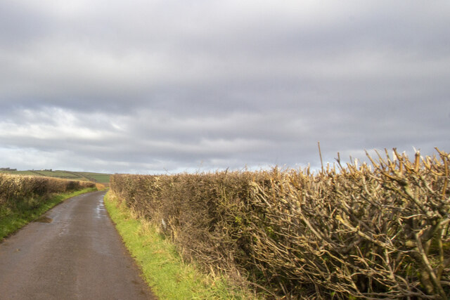
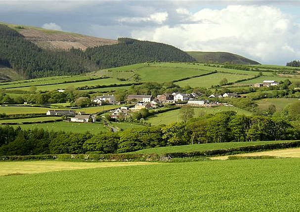
The forest is situated on the northern slopes of Skiddaw, a prominent mountain in the Lake District National Park. Its diverse landscape encompasses dense woodlands, open meadows, and picturesque streams, offering a rich habitat for a wide range of flora and fauna. Great Wood is particularly renowned for its ancient oak trees, some of which are believed to be several centuries old.
The forest provides a haven for wildlife, with species such as red squirrels, roe deer, and a variety of bird species calling it home. It is also a popular destination for nature enthusiasts and hikers who can explore the numerous trails and footpaths that crisscross the woodland.
In addition to its natural beauty, Great Wood holds historical significance. Within its boundaries lies the site of an Iron Age hillfort called Sale Fell, which dates back thousands of years. The forest has also been part of local folklore and legends, adding to its mystique and allure.
Thanks to its idyllic setting and tranquil ambiance, Great Wood attracts visitors from near and far, providing them with a peaceful escape into nature. Whether it be for a leisurely stroll, wildlife spotting, or simply enjoying the serenity of the woodland, Great Wood offers a truly immersive experience in the heart of the Lake District.
If you have any feedback on the listing, please let us know in the comments section below.
Great Wood Images
Images are sourced within 2km of 54.475681/-3.4849926 or Grid Reference NY0309. Thanks to Geograph Open Source API. All images are credited.


Great Wood is located at Grid Ref: NY0309 (Lat: 54.475681, Lng: -3.4849926)
Administrative County: Cumbria
District: Copeland
Police Authority: Cumbria
What 3 Words
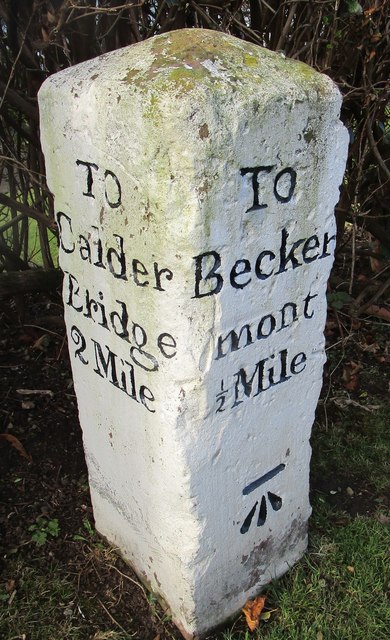
///notifying.reunion.shelter. Near Egremont, Cumbria
Nearby Locations
Related Wikis
Wilton, Cumbria
Wilton is a hamlet in the Copeland district, in the county of Cumbria, England. It is near the small town of Egremont. In 1870-72 it had a population of...

Haile, Cumbria
Haile is a small village and civil parish in Copeland district, in the county of Cumbria, England. It had a population of 617 at the 2011 Census.Nearby...
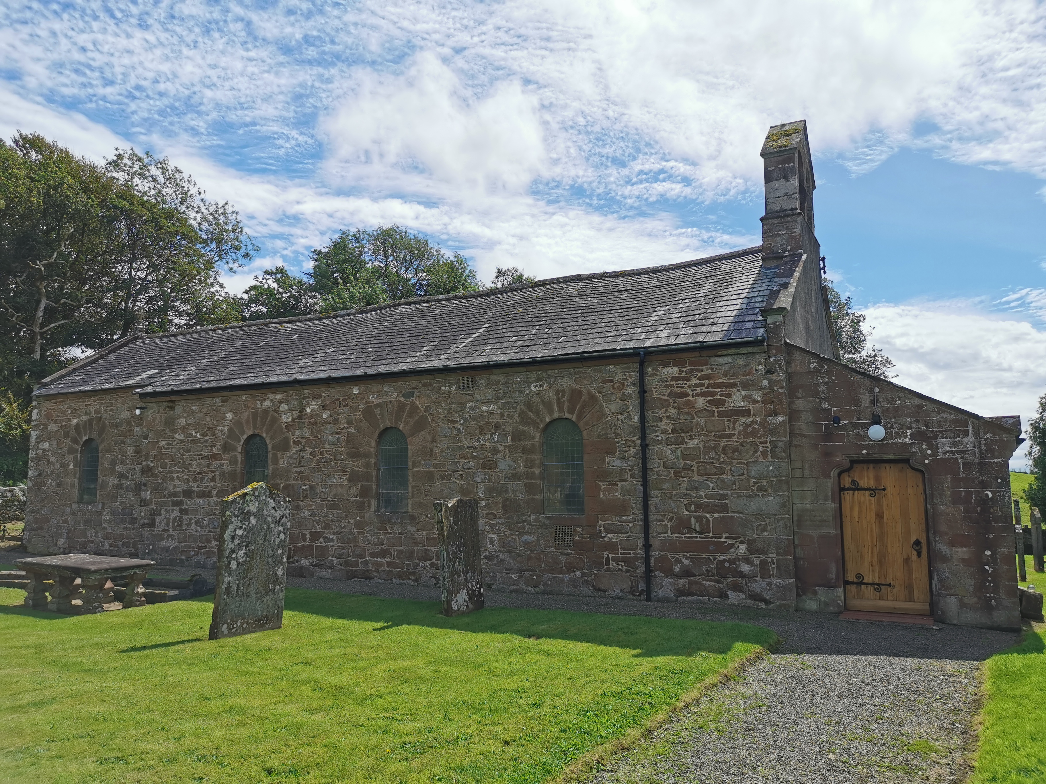
Haile Parish Church
Haile Parish Church is near Haile, Cumbria, England. It is an active Anglican parish church in the deanery of Calder, and the diocese of Carlisle. Its...

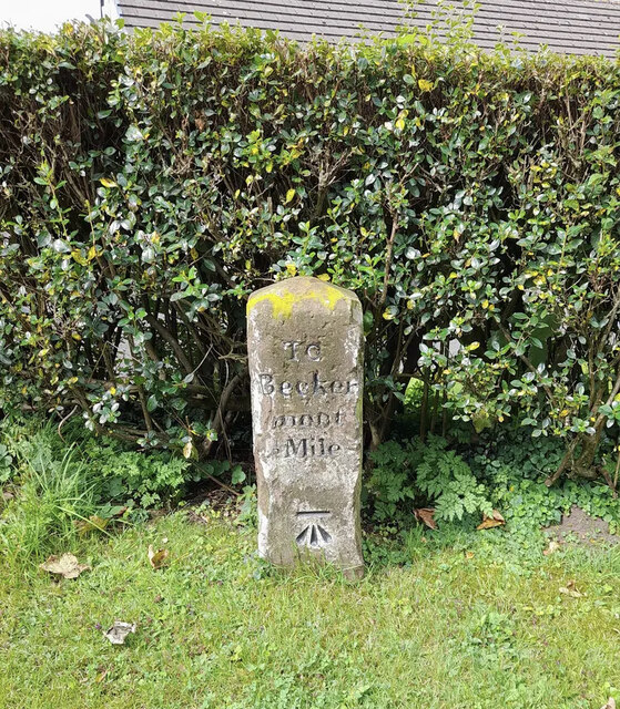
Beckermet Mines railway station
Beckermet Mines railway station was situated at Pit No.1 of the mine of the same name. It was used by workmen's trains which travelled along a branch which...

Briscoe, Cumbria
Briscoe is a hamlet in Cumbria, England. It is located to the east of Egremont. == See also == List of places in Cumbria == References ==
St Thomas Cross Platform railway station
St Thomas Cross Platform was a railway station used by workmen's trains on the Moor Row to Sellafield line on what is now the southeastern, Cringlethwaite...
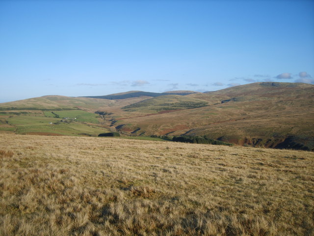
Cold Fell (Calder Bridge)
Cold Fell is a hill in the west of the English Lake District. It is easily climbed from the road between Ennerdale Bridge and Calder Bridge. This road...

St Mary & St Michael, Egremont
St Mary & St Michael is in Egremont, Cumbria, England. It is an active Anglican parish church in the deanery of Calder, and the diocese of Carlisle. Its...
Nearby Amenities
Located within 500m of 54.475681,-3.4849926Have you been to Great Wood?
Leave your review of Great Wood below (or comments, questions and feedback).