Grange Woods
Wood, Forest in Cumberland Copeland
England
Grange Woods
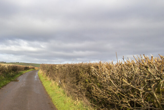
Grange Woods, located in Cumberland, is an enchanting woodland area that spans across a vast terrain of approximately 500 acres. Nestled amidst the picturesque landscape of Cumberland, this woodland is a haven for nature enthusiasts and a tranquil retreat for those seeking solace in the lap of nature.
Grange Woods is predominantly composed of ancient oak trees, which lend an air of majesty to the surroundings. These towering trees, some dating back centuries, create a dense canopy that provides shade and shelter to a diverse range of flora and fauna. The forest floor is adorned with a rich carpet of ferns, wildflowers, and mosses, creating a vibrant tapestry of colors throughout the seasons.
The woods are crisscrossed by a network of well-maintained trails, making it an ideal location for leisurely walks, hiking, and birdwatching. The trails offer visitors an opportunity to explore the woods at their own pace, allowing them to discover hidden groves, babbling brooks, and small ponds along the way.
Wildlife thrives in Grange Woods, and it is common to spot deer, foxes, and a variety of bird species. Nature enthusiasts will be delighted by the abundance of birdlife, including woodpeckers, owls, and warblers, making it a popular spot for birdwatchers.
The conservation efforts in Grange Woods have been commendable, ensuring the preservation of this natural treasure for future generations. The woods are a protected area, and visitors are encouraged to adhere to the guidelines to maintain the delicate balance of the ecosystem.
Grange Woods, Cumberland, offers a serene escape from the hustle and bustle of daily life, allowing visitors to immerse themselves in the beauty and tranquility of nature.
If you have any feedback on the listing, please let us know in the comments section below.
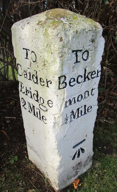
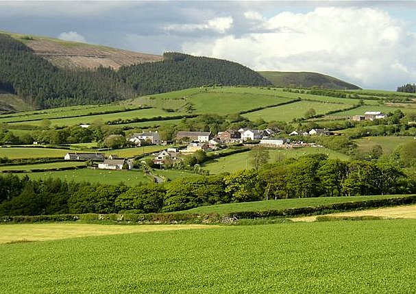
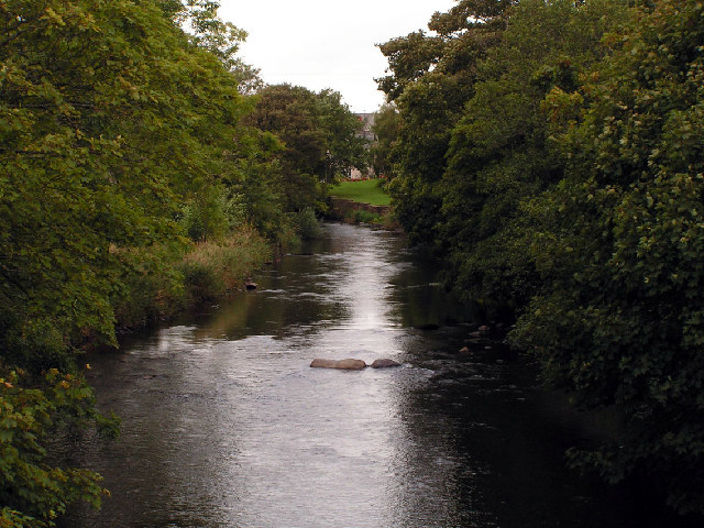
Grange Woods Images
Images are sourced within 2km of 54.471665/-3.4899396 or Grid Reference NY0309. Thanks to Geograph Open Source API. All images are credited.


Grange Woods is located at Grid Ref: NY0309 (Lat: 54.471665, Lng: -3.4899396)
Administrative County: Cumbria
District: Copeland
Police Authority: Cumbria
What 3 Words
///number.explain.approvals. Near Egremont, Cumbria
Nearby Locations
Related Wikis
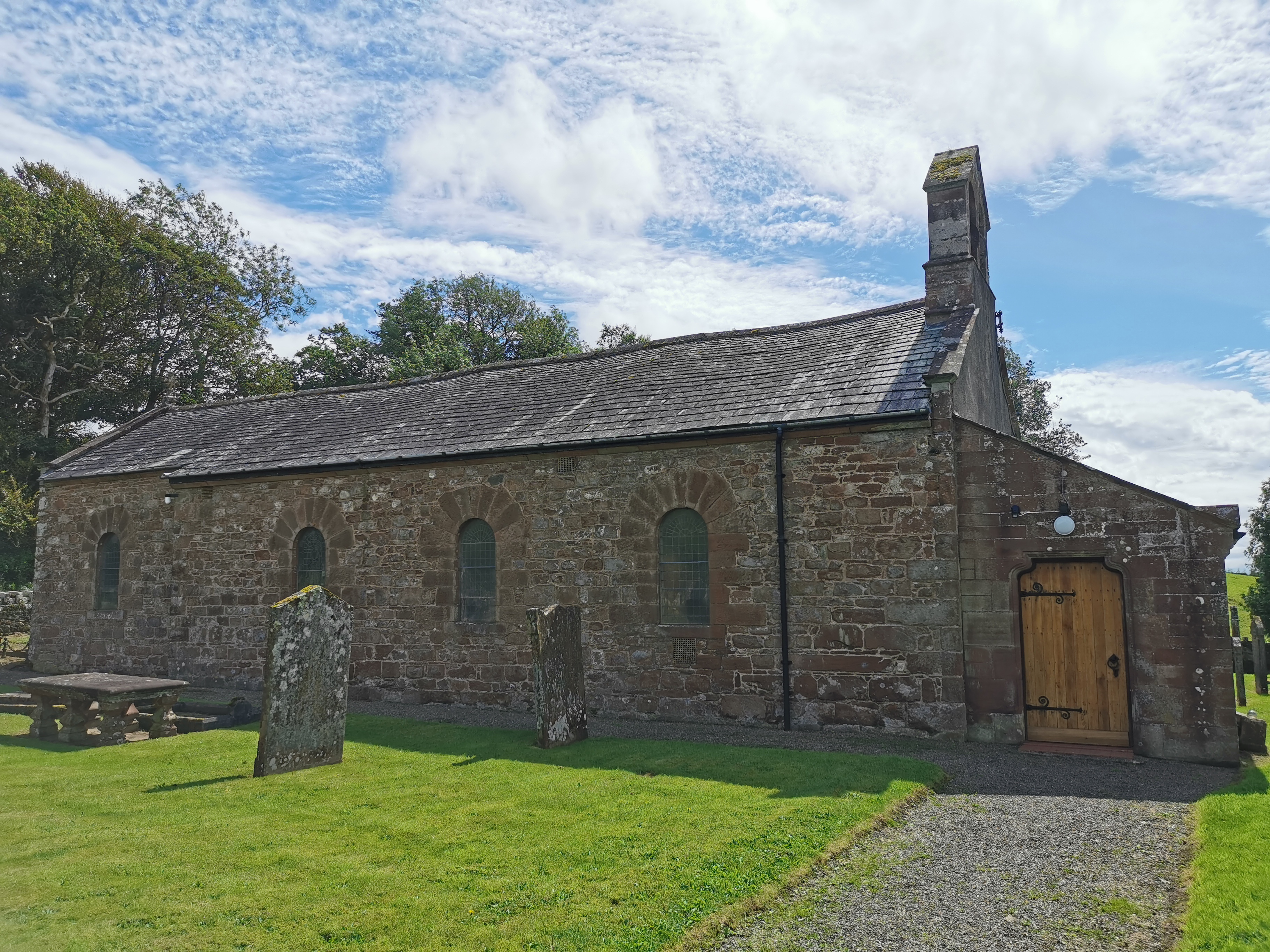
Haile Parish Church
Haile Parish Church is near Haile, Cumbria, England. It is an active Anglican parish church in the deanery of Calder, and the diocese of Carlisle. Its...

Haile, Cumbria
Haile is a small village and civil parish in Copeland district, in the county of Cumbria, England. It had a population of 617 at the 2011 Census.Nearby...

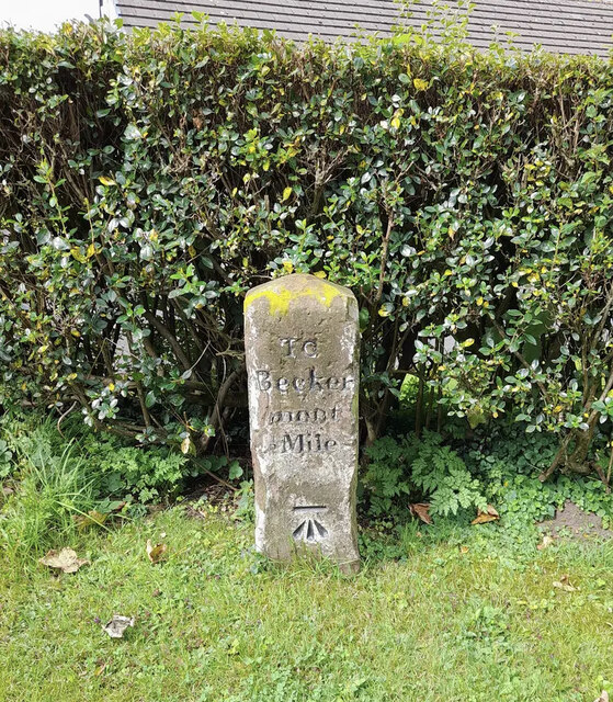
Beckermet Mines railway station
Beckermet Mines railway station was situated at Pit No.1 of the mine of the same name. It was used by workmen's trains which travelled along a branch which...
Wilton, Cumbria
Wilton is a hamlet in the Copeland district, in the county of Cumbria, England. It is near the small town of Egremont. In 1870-72 it had a population of...
St Thomas Cross Platform railway station
St Thomas Cross Platform was a railway station used by workmen's trains on the Moor Row to Sellafield line on what is now the southeastern, Cringlethwaite...

Briscoe, Cumbria
Briscoe is a hamlet in Cumbria, England. It is located to the east of Egremont. == See also == List of places in Cumbria == References ==
Thornhill, Cumbria
Thornhill is a village in the county of Cumbria, England, south of Whitehaven and north of Seascale, close to St. Bees, and only a few miles from the Irish...

St Mary & St Michael, Egremont
St Mary & St Michael is in Egremont, Cumbria, England. It is an active Anglican parish church in the deanery of Calder, and the diocese of Carlisle. Its...
Nearby Amenities
Located within 500m of 54.471665,-3.4899396Have you been to Grange Woods?
Leave your review of Grange Woods below (or comments, questions and feedback).