Danielbrow Wood
Wood, Forest in Cumberland Copeland
England
Danielbrow Wood
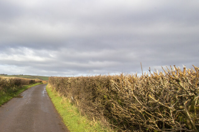
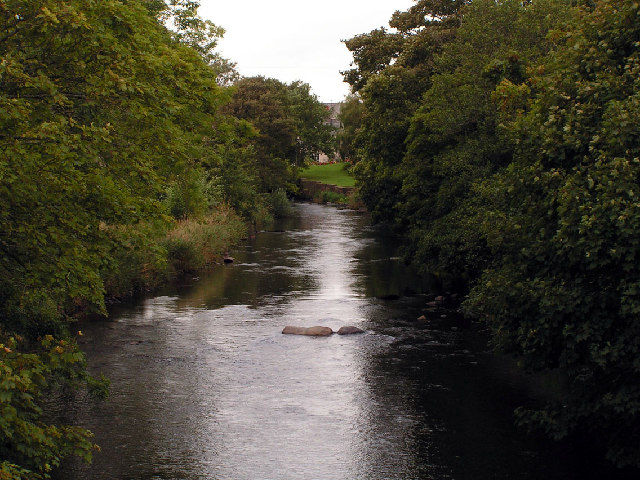
Danielbrow Wood is a dense and picturesque forest located in Cumberland, England. Spanning over a vast area, it offers a diverse range of natural features and is known for its abundant wildlife and stunning scenery. The wood is situated in close proximity to the village of Danielbrow, from which it derives its name.
The forest is primarily composed of deciduous trees, including oak, beech, and birch, which create a dense canopy that filters sunlight and provides a cool and tranquil atmosphere. The woodland floor is carpeted with a rich variety of plants, such as bluebells, wild garlic, and ferns, adding to its enchanting beauty.
Danielbrow Wood is a sanctuary for a wide array of wildlife. Visitors may spot various bird species, including woodpeckers, owls, and thrushes, as well as mammals like deer, foxes, and badgers. The wood also offers a habitat for numerous insects and smaller creatures, making it a vibrant ecosystem.
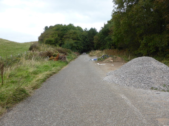
For outdoor enthusiasts and nature lovers, Danielbrow Wood provides an ideal setting for walking, hiking, and exploring. Numerous well-marked trails crisscross the forest, allowing visitors to immerse themselves in its natural wonders. The serene ambiance and peaceful surroundings make it a popular destination for those seeking relaxation and a break from the hustle and bustle of everyday life.
Overall, Danielbrow Wood is a remarkable natural gem in Cumberland, offering a breathtaking escape into the heart of nature. Its diverse flora and fauna, along with its tranquil atmosphere, make it a must-visit destination for anyone seeking a genuine connection with the natural world.
If you have any feedback on the listing, please let us know in the comments section below.
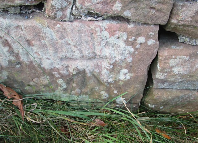
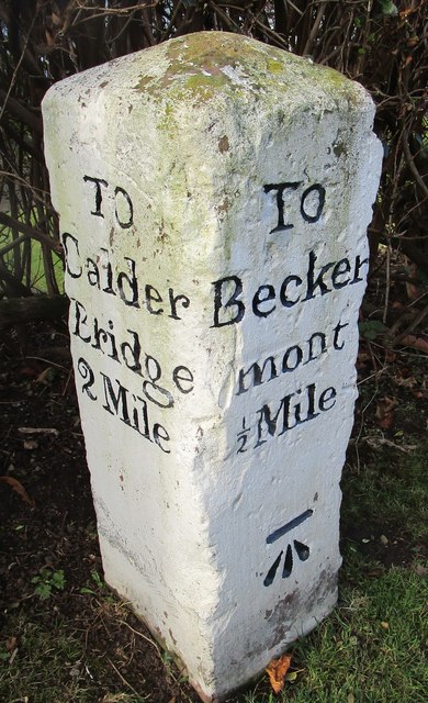
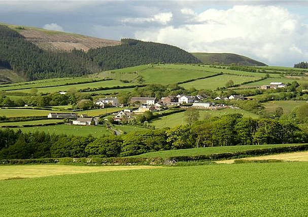
Danielbrow Wood Images
Images are sourced within 2km of 54.468054/-3.4963663 or Grid Reference NY0309. Thanks to Geograph Open Source API. All images are credited.


Danielbrow Wood is located at Grid Ref: NY0309 (Lat: 54.468054, Lng: -3.4963663)
Administrative County: Cumbria
District: Copeland
Police Authority: Cumbria
What 3 Words
///speaker.earpiece.toast. Near Egremont, Cumbria
Nearby Locations
Related Wikis
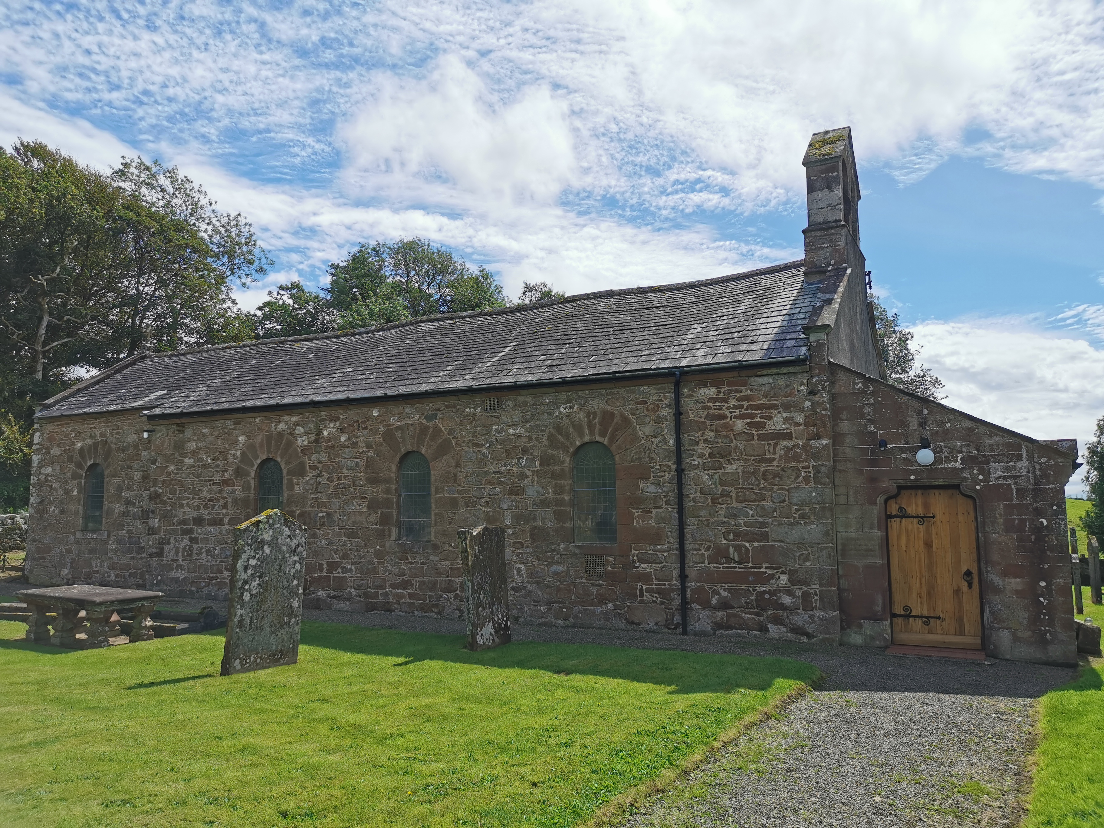
Haile Parish Church
Haile Parish Church is near Haile, Cumbria, England. It is an active Anglican parish church in the deanery of Calder, and the diocese of Carlisle. Its...

Haile, Cumbria
Haile is a small village and civil parish in Copeland district, in the county of Cumbria, England. It had a population of 617 at the 2011 Census.Nearby...

Beckermet Mines railway station
Beckermet Mines railway station was situated at Pit No.1 of the mine of the same name. It was used by workmen's trains which travelled along a branch which...
St Thomas Cross Platform railway station
St Thomas Cross Platform was a railway station used by workmen's trains on the Moor Row to Sellafield line on what is now the southeastern, Cringlethwaite...
Wilton, Cumbria
Wilton is a hamlet in the Copeland district, in the county of Cumbria, England. It is near the small town of Egremont. In 1870-72 it had a population of...
Thornhill, Cumbria
Thornhill is a village in the county of Cumbria, England, south of Whitehaven and north of Seascale, close to St. Bees, and only a few miles from the Irish...
Blackbeck
Blackbeck is a small village in Cumbria, England. It is northeast of Beckermet and Sellafield, along the A595 road. It contains properties such as the...
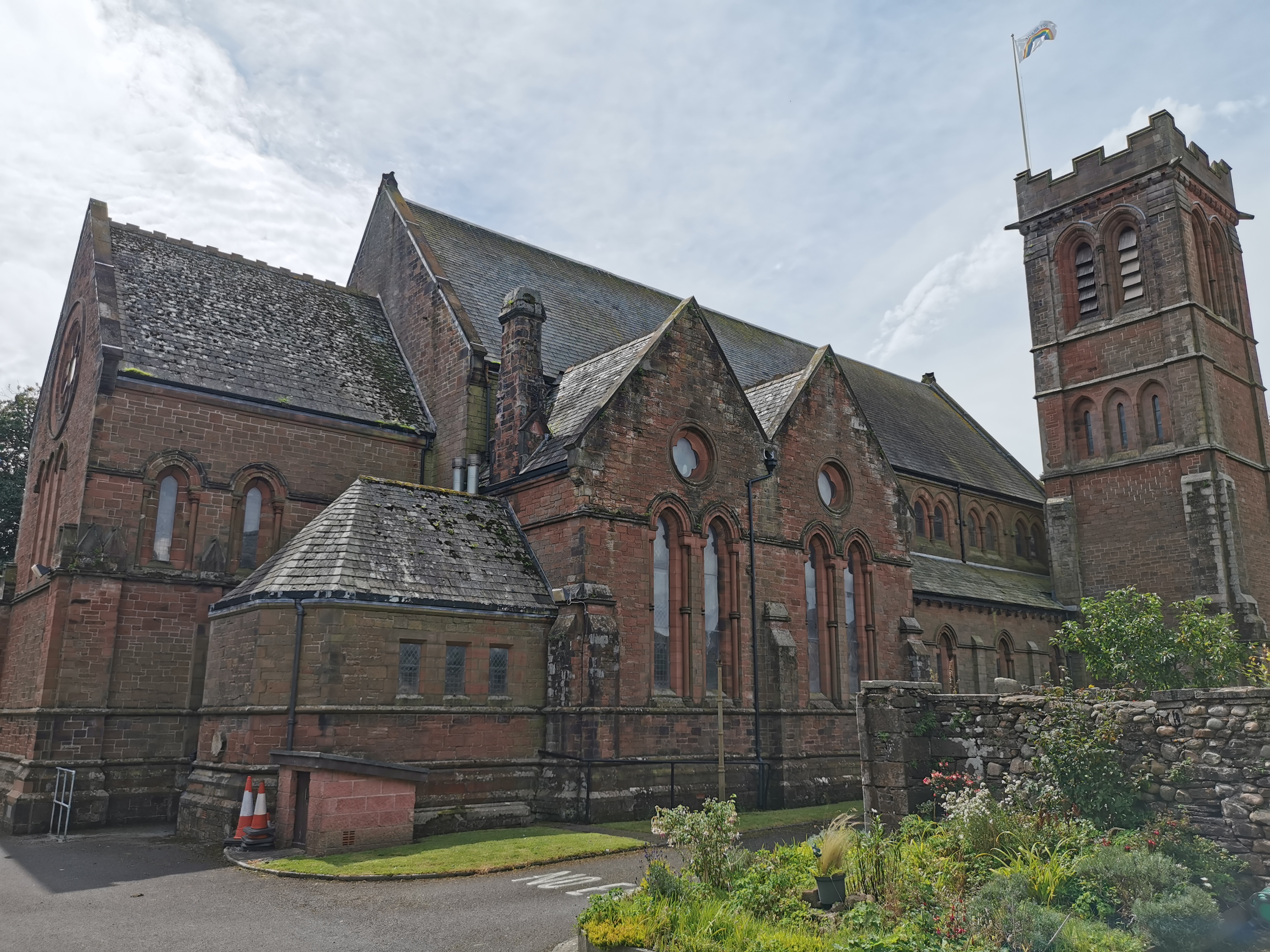
St Mary & St Michael, Egremont
St Mary & St Michael is in Egremont, Cumbria, England. It is an active Anglican parish church in the deanery of Calder, and the diocese of Carlisle. Its...
Nearby Amenities
Located within 500m of 54.468054,-3.4963663Have you been to Danielbrow Wood?
Leave your review of Danielbrow Wood below (or comments, questions and feedback).