Glass's Copse
Wood, Forest in Somerset Somerset West and Taunton
England
Glass's Copse
Glass's Copse is a picturesque woodland located in the county of Somerset, England. Situated on the outskirts of a small village, this copse is known for its natural beauty and tranquility. Covering an area of approximately 20 acres, Glass's Copse is a haven for nature enthusiasts and those seeking solace in the great outdoors.
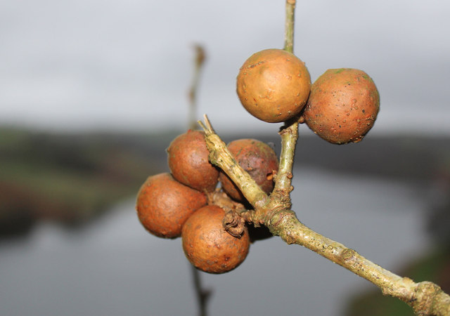
The copse is characterized by a diverse range of tree species, including oak, beech, and ash, which create a lush and vibrant canopy. These trees provide a habitat for a variety of wildlife, such as deer, badgers, and numerous species of birds. Nature lovers will delight in the opportunity to observe and appreciate the natural wonders that thrive within Glass's Copse.
Visitors to Glass's Copse can explore its well-maintained footpaths, which wind their way through the woodland. These paths offer a chance to immerse oneself in the peaceful ambiance of the copse, while also providing access to some stunning viewpoints that overlook the surrounding countryside. The copse is particularly popular during the springtime, when the forest floor is adorned with a colorful carpet of wildflowers.
Glass's Copse also holds historical significance, as it was once part of an ancient forest that stretched across much of Somerset. Remnants of this history can still be seen in the form of old boundary markers and the occasional ancient tree.
Overall, Glass's Copse offers a serene retreat for nature enthusiasts, providing a glimpse into the beauty of Somerset's woodlands. Whether it's a leisurely stroll, birdwatching, or immersing oneself in the sights and sounds of nature, this copse is a must-visit destination for those seeking a connection with the natural world.
If you have any feedback on the listing, please let us know in the comments section below.
Glass's Copse Images
Images are sourced within 2km of 51.065036/-3.3764174 or Grid Reference ST0330. Thanks to Geograph Open Source API. All images are credited.


Glass's Copse is located at Grid Ref: ST0330 (Lat: 51.065036, Lng: -3.3764174)
Administrative County: Somerset
District: Somerset West and Taunton
Police Authority: Avon and Somerset
What 3 Words
///homelands.fuse.gulped. Near Wiveliscombe, Somerset
Nearby Locations
Related Wikis

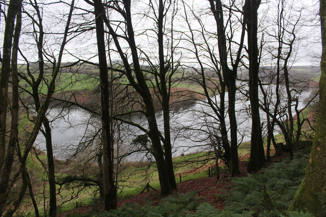
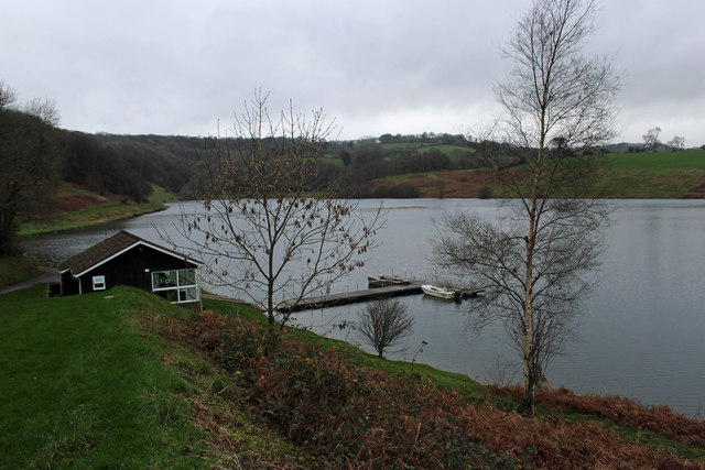
Clatworthy Reservoir
Clatworthy Reservoir is situated near Clatworthy in the Brendon Hills on the edge of the Exmoor National Park in west Somerset, England. It is run by Wessex...

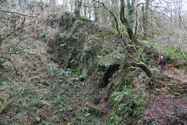
Clatworthy Camp
Clatworthy Camp is an Iron Age hill fort 3 miles (4.8 km) North West of Wiveliscombe, Somerset, England. It has been scheduled as an Ancient Monument....

Huish Champflower
Huish Champflower is a village and civil parish in Somerset, England, three miles north-west of Wiveliscombe and ten miles north of Wellington. It has...

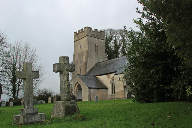
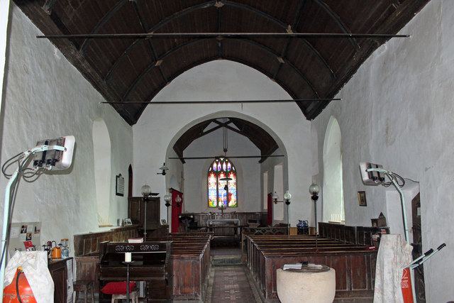
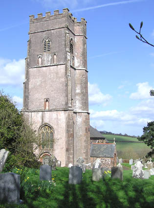
Church of St Mary Magdalene, Clatworthy
The Anglican Church of Mary Magdalene in Clatworthy, Somerset, England was built in the 12th century. It is a Grade II* listed building. == History... ==
Clatworthy
Clatworthy is a village and civil parish in the Somerset West and Taunton district of Somerset, England. It is situated 10 miles (16 km) from Wellington...

Chipstable
Chipstable is a village and civil parish in Somerset, England, situated beside Heydon Hill 10 miles (16.1 km) west of Taunton. The parish has a population...

Church of All Saints, Chipstable
The Church of All Saints is an Anglican church in Chipstable, Somerset, England which probably dates from the early 13th century. It is located in the...

Brendon Hill railway station
Brendon Hill (occasionally referred to as "Raleigh's Cross") was an intermediate station on the West Somerset Mineral Railway (WSMR), which was built primarily...
Nearby Amenities
Located within 500m of 51.065036,-3.3764174Have you been to Glass's Copse?
Leave your review of Glass's Copse below (or comments, questions and feedback).