Clatworthy Reservoir
Lake, Pool, Pond, Freshwater Marsh in Somerset Somerset West and Taunton
England
Clatworthy Reservoir
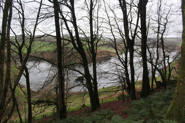
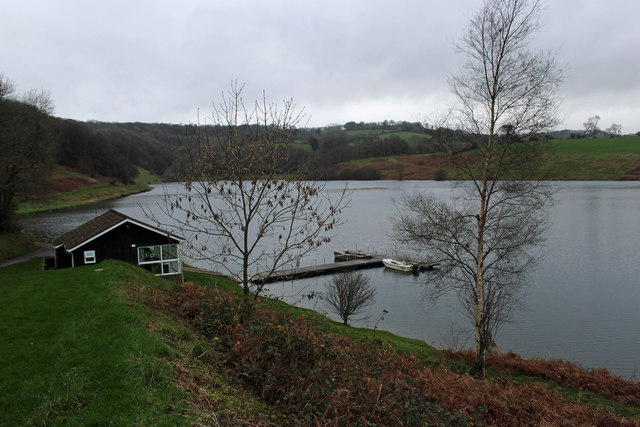
Clatworthy Reservoir is a freshwater lake located in the county of Somerset, England. It is a man-made reservoir that was constructed in the mid-1960s to provide a reliable water supply to the surrounding areas. The reservoir is situated in the Brendon Hills, nestled amidst picturesque countryside and rolling hills.
Covering an area of approximately 45 hectares, Clatworthy Reservoir is a significant water body in the region. It has a maximum depth of around 30 meters and can hold up to 8.4 million cubic meters of water. The reservoir is fed by the River Tone, which flows into it from the southeast. The water is primarily used for public water supply, irrigation, and recreational activities.
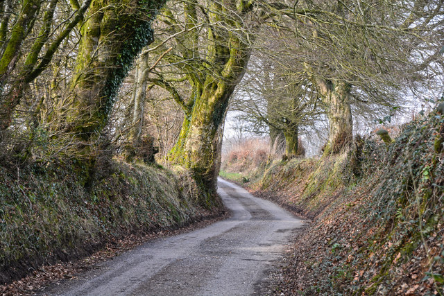
The surrounding area of Clatworthy Reservoir is well-maintained, with designated walking trails and picnic spots for visitors to enjoy. The reservoir is a popular destination for fishing enthusiasts, as it is home to a variety of fish species such as brown trout, rainbow trout, and perch. Anglers can obtain permits to fish in the reservoir, subject to certain regulations.
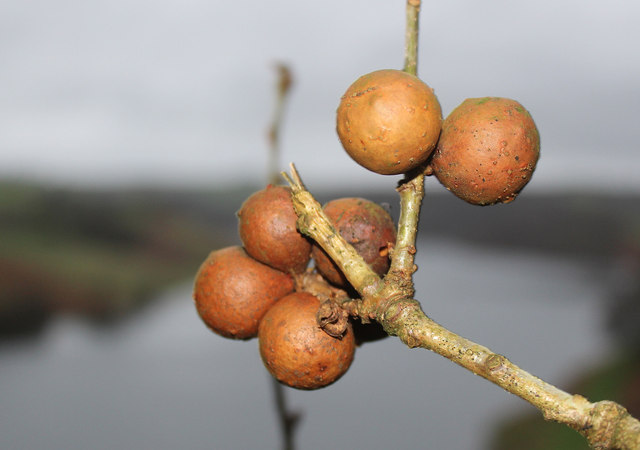
Additionally, the reservoir attracts a wide array of bird species, making it a haven for birdwatchers. Visitors may spot species such as great crested grebes, little egrets, and various ducks and geese. The tranquil waters of Clatworthy Reservoir also provide an ideal habitat for dragonflies and other aquatic insects.
Overall, Clatworthy Reservoir is a beautiful freshwater lake in Somerset, offering a range of recreational activities and opportunities to connect with nature.
If you have any feedback on the listing, please let us know in the comments section below.
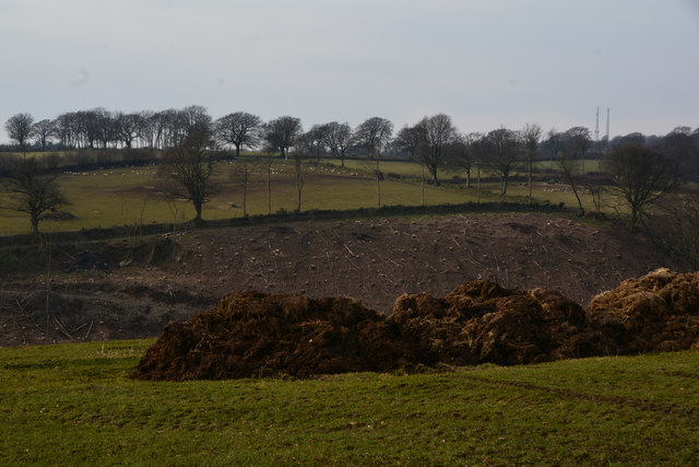
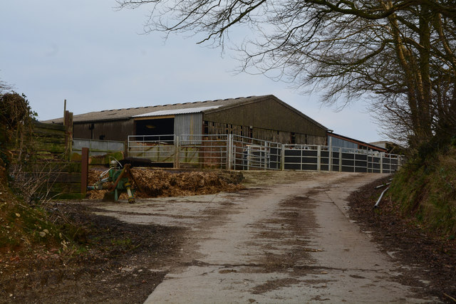
Clatworthy Reservoir Images
Images are sourced within 2km of 51.069867/-3.3725072 or Grid Reference ST0330. Thanks to Geograph Open Source API. All images are credited.


Clatworthy Reservoir is located at Grid Ref: ST0330 (Lat: 51.069867, Lng: -3.3725072)
Administrative County: Somerset
District: Somerset West and Taunton
Police Authority: Avon and Somerset
What 3 Words
///friday.polygraph.heats. Near Wiveliscombe, Somerset
Nearby Locations
Related Wikis

Clatworthy Reservoir
Clatworthy Reservoir is situated near Clatworthy in the Brendon Hills on the edge of the Exmoor National Park in west Somerset, England. It is run by Wessex...

Clatworthy Camp
Clatworthy Camp is an Iron Age hill fort 3 miles (4.8 km) North West of Wiveliscombe, Somerset, England. It has been scheduled as an Ancient Monument....

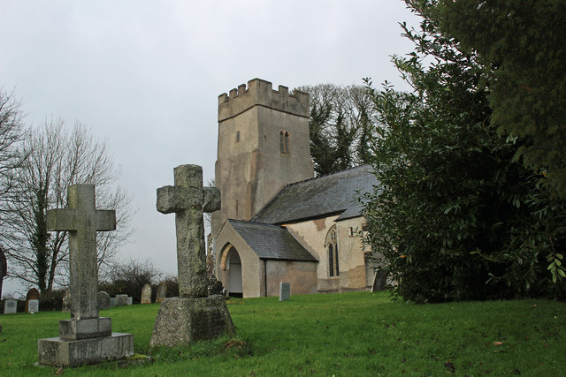
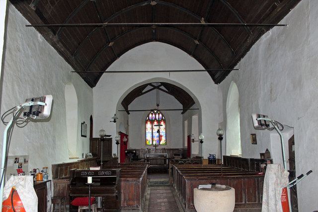
Church of St Mary Magdalene, Clatworthy
The Anglican Church of Mary Magdalene in Clatworthy, Somerset, England was built in the 12th century. It is a Grade II* listed building. == History... ==
Clatworthy
Clatworthy is a village and civil parish in the Somerset West and Taunton district of Somerset, England. It is situated 10 miles (16 km) from Wellington...

Huish Champflower
Huish Champflower is a village and civil parish in Somerset, England, three miles north-west of Wiveliscombe and ten miles north of Wellington. It has...

Brendon Hill railway station
Brendon Hill (occasionally referred to as "Raleigh's Cross") was an intermediate station on the West Somerset Mineral Railway (WSMR), which was built primarily...

Chipstable
Chipstable is a village and civil parish in Somerset, England, situated beside Heydon Hill 10 miles (16.1 km) west of Taunton. The parish has a population...

Church of All Saints, Chipstable
The Church of All Saints is an Anglican church in Chipstable, Somerset, England which probably dates from the early 13th century. It is located in the...
Nearby Amenities
Located within 500m of 51.069867,-3.3725072Have you been to Clatworthy Reservoir?
Leave your review of Clatworthy Reservoir below (or comments, questions and feedback).