West Coombe Plantation
Wood, Forest in Somerset Somerset West and Taunton
England
West Coombe Plantation
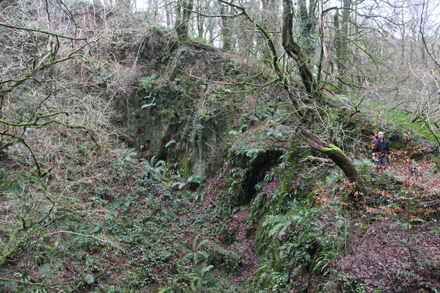
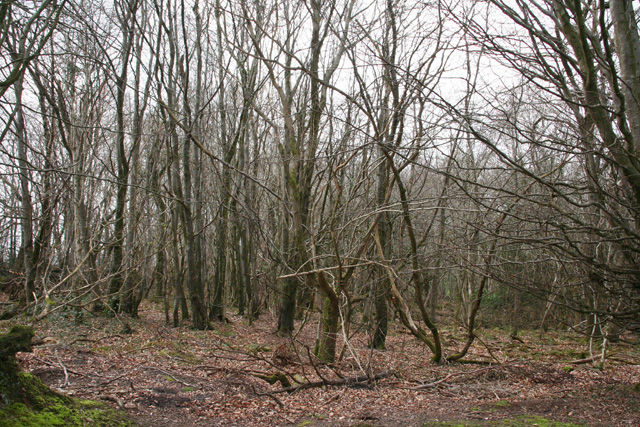
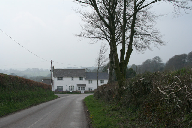
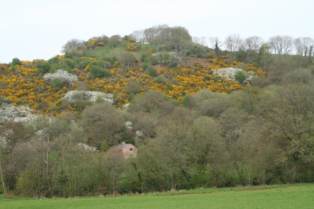
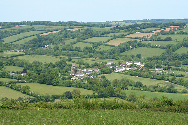
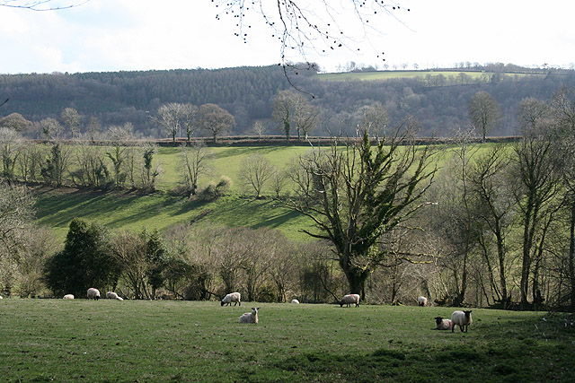
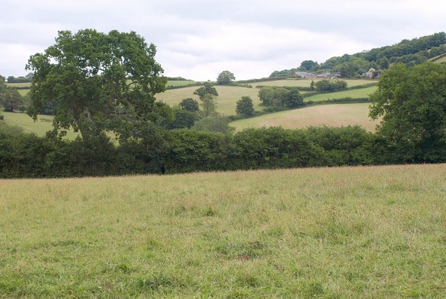
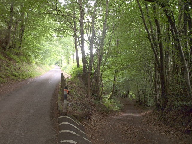
West Coombe Plantation is a picturesque woodland located in Somerset, England. Covering an area of approximately 100 hectares, it is a prime example of a well-preserved ancient woodland. The plantation is situated in the heart of the Somerset Levels, an area renowned for its diverse flora and fauna.
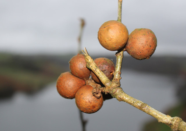
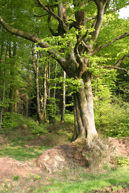
The woodland is predominantly made up of broadleaf trees, including oak, ash, and beech, which provide a dense canopy overhead. These towering trees create a haven for a wide variety of bird species, making it a popular destination for birdwatchers. Visitors may spot the elusive tawny owl or catch a glimpse of a colorful woodpecker.
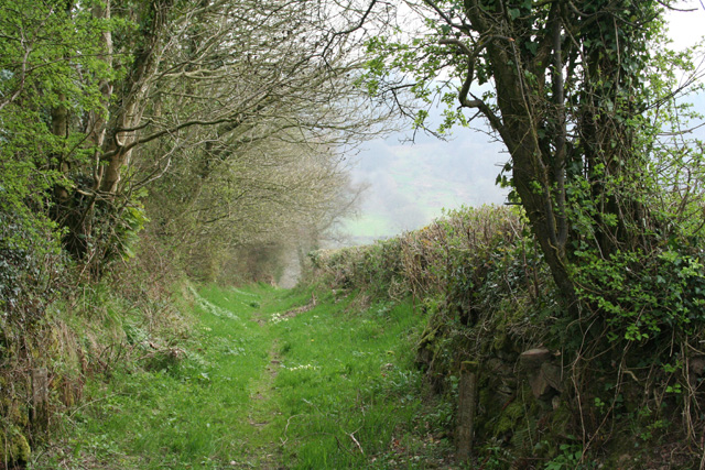
Apart from its rich birdlife, West Coombe Plantation is also home to a diverse range of mammals. Roe deer can often be seen grazing in the open glades, while badgers and foxes roam the undergrowth. The woodland floor is adorned with a carpet of wildflowers, including bluebells and primroses, adding a splash of color to the landscape during the spring months.
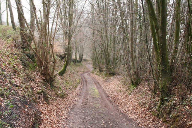
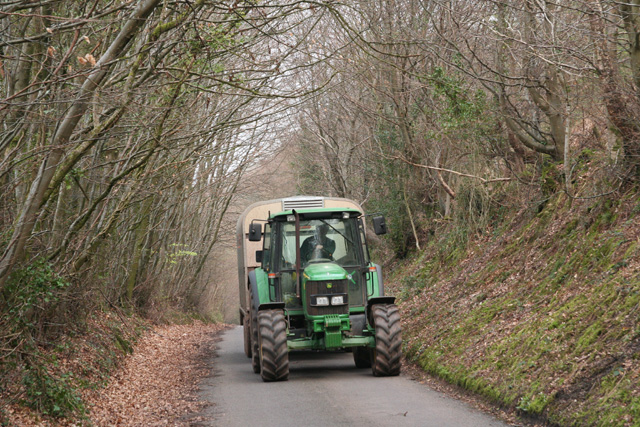
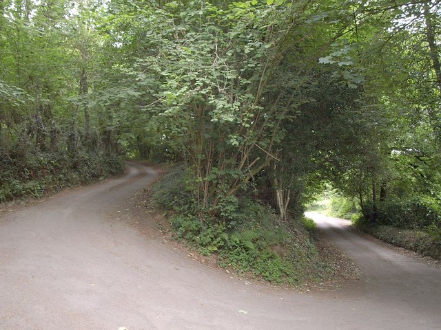
West Coombe Plantation offers a network of well-maintained trails, allowing visitors to explore its natural beauty on foot. The enchanting woodland provides a serene and tranquil setting, making it a popular spot for nature lovers, hikers, and photographers alike.
Managed by a local conservation trust, the plantation is dedicated to preserving the natural habitat and promoting biodiversity. Regular maintenance activities, such as coppicing and thinning, are carried out to ensure the long-term health of the woodland ecosystem.
Overall, West Coombe Plantation is a captivating destination for those seeking solace in nature, offering a glimpse into the diverse and enchanting world of Somerset's ancient woodlands.
If you have any feedback on the listing, please let us know in the comments section below.
West Coombe Plantation Images
Images are sourced within 2km of 51.05566/-3.3761536 or Grid Reference ST0329. Thanks to Geograph Open Source API. All images are credited.

West Coombe Plantation is located at Grid Ref: ST0329 (Lat: 51.05566, Lng: -3.3761536)
Administrative County: Somerset
District: Somerset West and Taunton
Police Authority: Avon and Somerset
What 3 Words
///liner.pipeline.cropping. Near Wiveliscombe, Somerset
Nearby Locations
Related Wikis

Huish Champflower
Huish Champflower is a village and civil parish in Somerset, England, three miles north-west of Wiveliscombe and ten miles north of Wellington. It has...

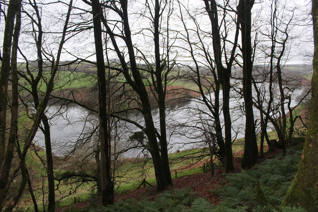
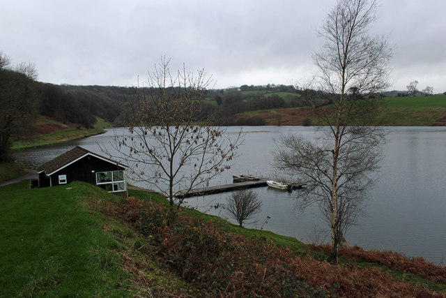
Clatworthy Reservoir
Clatworthy Reservoir is situated near Clatworthy in the Brendon Hills on the edge of the Exmoor National Park in west Somerset, England. It is run by Wessex...

Clatworthy Camp
Clatworthy Camp is an Iron Age hill fort 3 miles (4.8 km) North West of Wiveliscombe, Somerset, England. It has been scheduled as an Ancient Monument....

Clatworthy
Clatworthy is a village and civil parish in the Somerset West and Taunton district of Somerset, England. It is situated 10 miles (16 km) from Wellington...
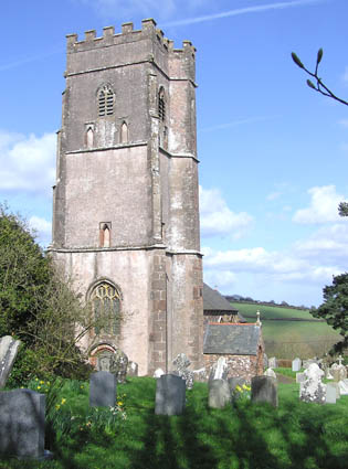
Church of St Mary Magdalene, Clatworthy
The Anglican Church of Mary Magdalene in Clatworthy, Somerset, England was built in the 12th century. It is a Grade II* listed building. == History... ==

Church of All Saints, Chipstable
The Church of All Saints is an Anglican church in Chipstable, Somerset, England which probably dates from the early 13th century. It is located in the...

Chipstable
Chipstable is a village and civil parish in Somerset, England, situated beside Heydon Hill 10 miles (16.1 km) west of Taunton. The parish has a population...
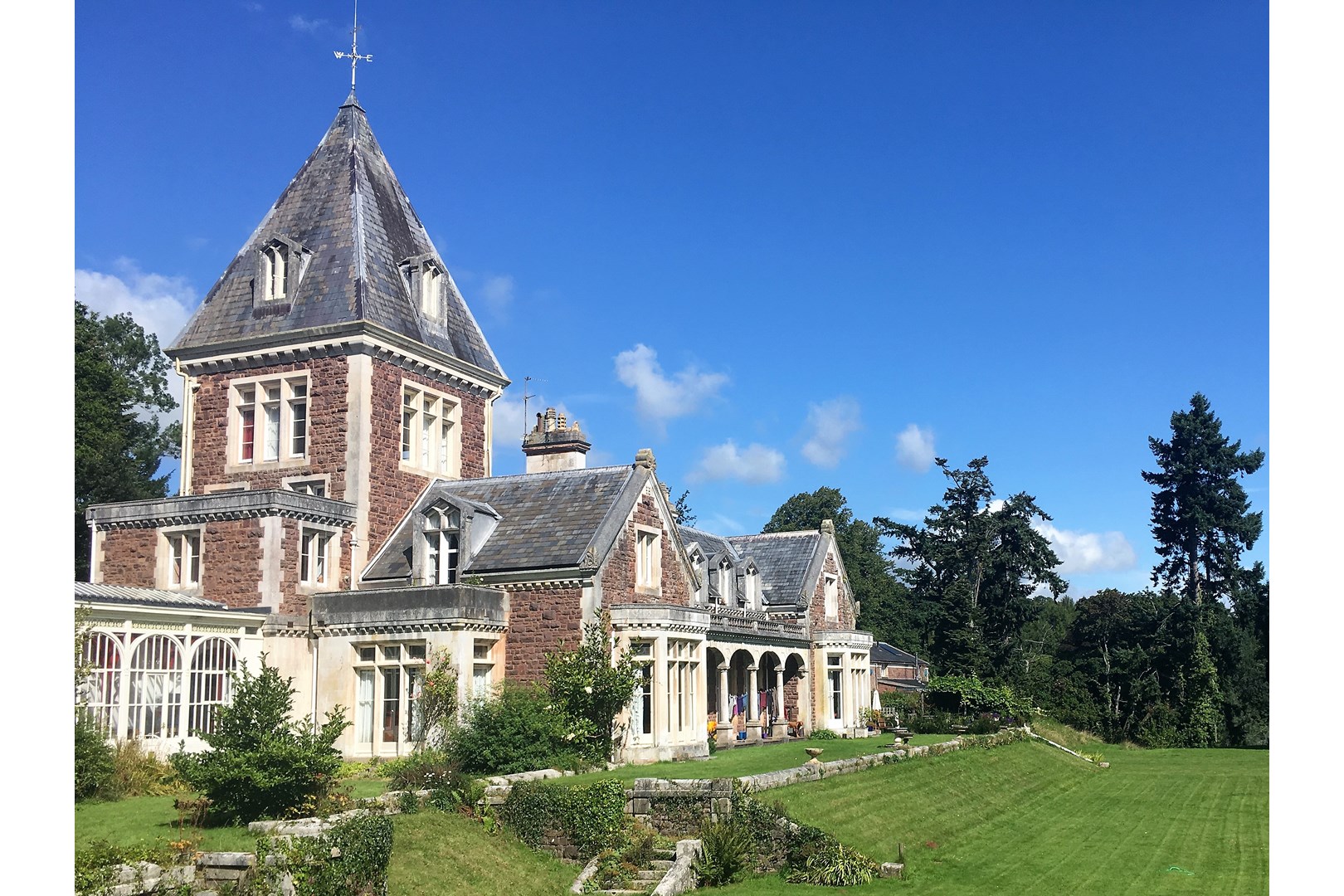
Abbotsfield, Wiveliscombe
Abbotsfield is a country house and farm, to the west of the town of Wiveliscombe, Somerset, England. Built in 1872, it became a Grade II listed building...
Have you been to West Coombe Plantation?
Leave your review of West Coombe Plantation below (or comments, questions and feedback).