Geoffrey's Oaks

Wood, Forest in Somerset Somerset West and Taunton

England

Geoffrey's Oaks

Blue Anchor Bay Seen from the West Somerset Railway which runs along the edge of the coast for a short distance.
Blue Anchor Bay Credit: Stephen Craven

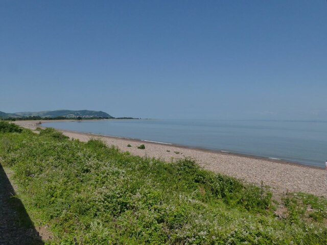
Geoffrey's Oaks is a picturesque woodland area located in Somerset, England. It is known for its magnificent oak trees and beautiful forest scenery, attracting nature enthusiasts and outdoor adventurers alike.

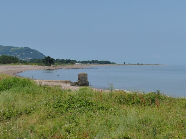
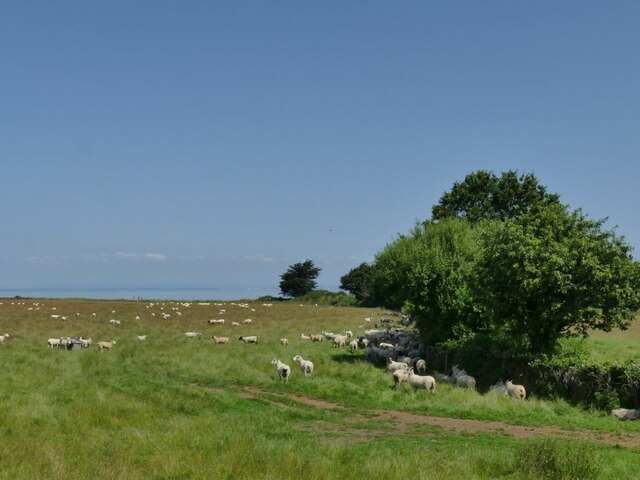
Covering an expansive area, Geoffrey's Oaks offers a diverse range of flora and fauna. The dominant species of trees in this woodland are the majestic oak trees, which provide a dense canopy and create a tranquil atmosphere. Their tall and sturdy trunks stand proudly amidst a carpet of lush green grass and wildflowers, creating a breathtaking sight during the spring and summer months.

The woodland is home to a variety of wildlife, making it a popular spot for birdwatchers and animal lovers. Visitors may spot species such as woodpeckers, owls, and squirrels, as well as occasional sightings of deer and foxes. The tranquil environment of Geoffrey's Oaks provides a safe haven for these creatures, ensuring their preservation and the continuation of the delicate ecosystem.

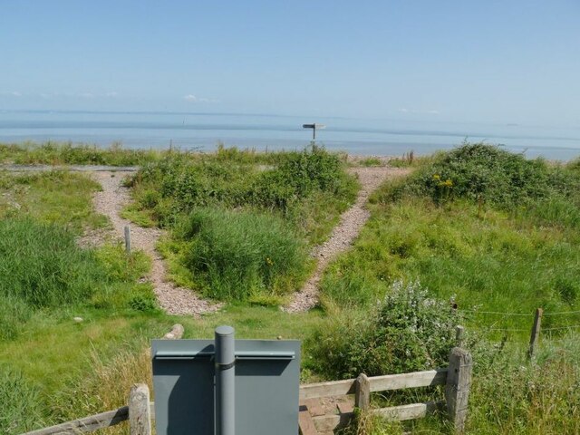
For those seeking outdoor adventure, Geoffrey's Oaks offers numerous walking trails and paths that wind through the forest. These trails provide an opportunity to explore the woodland up close, immersing oneself in nature's beauty. The woodland also features designated picnic areas and benches, allowing visitors to relax and enjoy the surroundings.

Geoffrey's Oaks is a haven of natural beauty, offering a peaceful retreat from the bustling city life. Its magnificent oak trees, diverse wildlife, and tranquil atmosphere make it a must-visit destination for nature lovers and those seeking solace in the great outdoors.

If you have any feedback on the listing, please let us know in the comments section below.

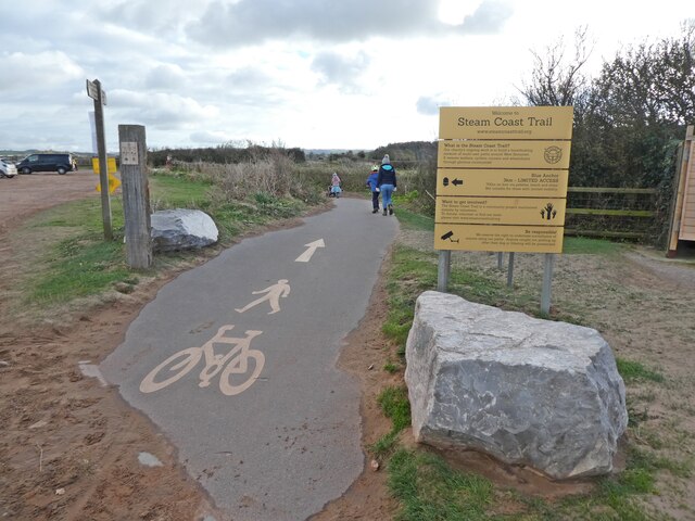
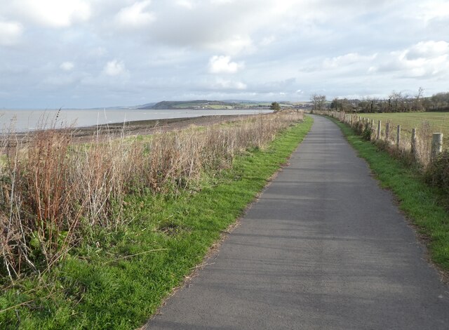
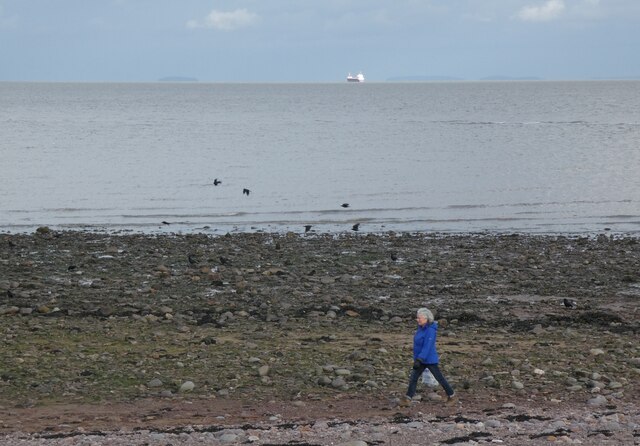
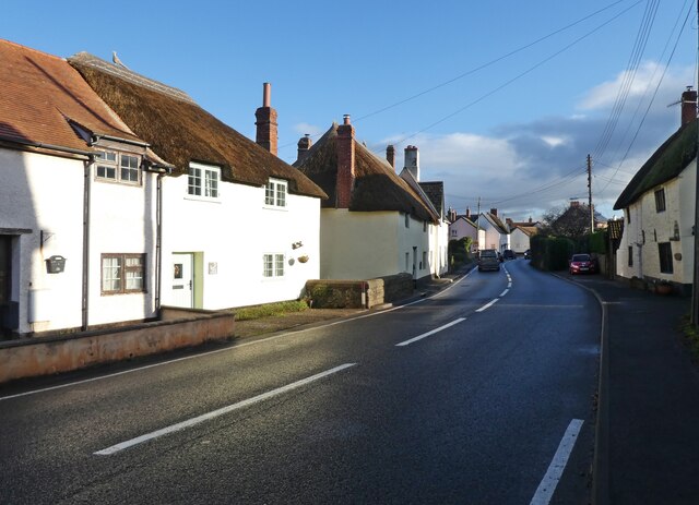
Geoffrey's Oaks Images

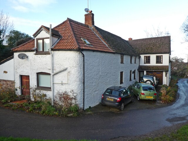
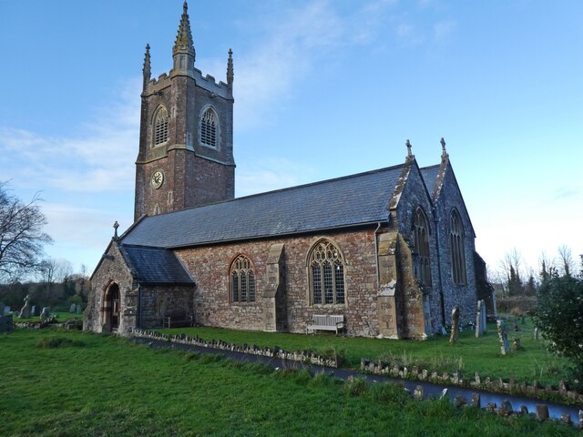
Images are sourced within 2km of 51.176328/-3.4341496 or Grid Reference SS9942. Thanks to Geograph Open Source API. All images are credited.

Blue Anchor Bay Seen from the West Somerset Railway which runs along the edge of the coast for a short distance.
Blue Anchor Bay
Seen from the West Somerset Railway which runs along the edge of the coast for a short distance.
Sewer outfalls into Blue Anchor Bay See <a href="https://www.geograph.org.uk/photo/1186598">ST0143 : Blue Anchor : Water Shoots out into the Sea</a> and <a href="https://www.geograph.org.uk/photo/5830818">ST0143 : Drainage outlets into the Bristol Channel</a> for close-ups, which show that they do sometimes get used.
Sewer outfalls into Blue Anchor Bay
See ST0143 : Blue Anchor : Water Shoots out into the Sea and ST0143 : Drainage outlets into the Bristol Channel for close-ups, which show that they do sometimes get used.
Footpath crossing to Blue Anchor Bay It gives access to the South-west Coast Path. See <a href="https://www.geograph.org.uk/photo/5830490">ST0143 : Path over the railway on Ker Moor</a> for the other side of the sign in the foreground.
Footpath crossing to Blue Anchor Bay
It gives access to the South-west Coast Path. See ST0143 : Path over the railway on Ker Moor for the other side of the sign in the foreground.
Milepost on Ker Moor It marks 185 miles from London Paddington via Taunton.
Milepost on Ker Moor
It marks 185 miles from London Paddington via Taunton.
Sheep on Ker Moor Seen from a passing train.
Sheep on Ker Moor
Seen from a passing train.
Old pillbox on Ker Moor One of many World War II defences along this coast, set in the middle of a crop field. See <a href="https://www.geograph.org.uk/photo/4868471">ST0044 : Old structure on Ker Moor</a> for the other side of it seen from the coastal path.
Old pillbox on Ker Moor
One of many World War II defences along this coast, set in the middle of a crop field. See ST0044 : Old structure on Ker Moor for the other side of it seen from the coastal path.
Flood channel of the river Avill I thought this was a road to the beach, but in fact it is a floodwater channel intended to prevent the village of Marsh Street from flooding. <a href="https://www.geograph.org.uk/photo/916957">ST0044 : Looking inland from bridge near Dunster Beach</a> shows it with some water in it, but it's obviously designed to take major storm flows, perhaps like the flash flood that overwhelmed Lynmouth in 1952 See <a href="https://www.geograph.org.uk/photo/1439074">SS9943 : View From Loxhole Bridge</a> for the weir at the head of the channel.
Flood channel of the river Avill
I thought this was a road to the beach, but in fact it is a floodwater channel intended to prevent the village of Marsh Street from flooding. ST0044 : Looking inland from bridge near Dunster Beach shows it with some water in it, but it's obviously designed to take major storm flows, perhaps like the flash flood that overwhelmed Lynmouth in 1952 See SS9943 : View From Loxhole Bridge for the weir at the head of the channel.
Pillbox at Dunster beach
Start of the Steam Coast Trail, at Dunster Beach
Steam Coast Trail, Blue Anchor Bay
Woman and ship, Blue Anchor Bay
Station Road, Carhampton A rather optimistic road name. The nearest railway station is over a mile away in Blue Anchor.
Station Road, Carhampton
A rather optimistic road name. The nearest railway station is over a mile away in Blue Anchor.
The Old School house, Carhampton
Carhampton Stores
Carhampton Stores
Carhampton Recreation Centre
The Butchers Arms, Carhampton
Cottage, Carhampton
Cottage, Carhampton
Church of St John the Baptist, Carhampton
Show me another place!

Geoffrey's Oaks is located at Grid Ref: SS9942 (Lat: 51.176328, Lng: -3.4341496)

Administrative County: Somerset

District: Somerset West and Taunton

Police Authority: Avon and Somerset

What 3 Words

///shuttle.keyboard.outs. Near Minehead, Somerset

Related Wikis

Carhampton

Carhampton is a village and civil parish in Somerset, England, 4 miles (6.4 km) to the east of Minehead. Carhampton civil parish stretches from the Bristol...

Gallox Bridge, Dunster

The Gallox Bridge in Dunster, Somerset, England dates from the 15th century. It has been designated as a Grade I listed building and scheduled monument...

Dunster Working Watermill

Dunster Working Watermill (also known as Castle Mill) is a restored 18th century watermill, situated on the River Avill, close to Gallox Bridge, in the...

Dunster Castle

Dunster Castle is a former motte and bailey castle, now a country house, in the village of Dunster, Somerset, England. The castle lies on the top of a...

Dunster

Dunster is a village and civil parish in Somerset, England, within the north-eastern boundary of Exmoor National Park. It lies on the Bristol Channel 2...

Dunster Museum & Doll Collection

The Dunster Museum & Doll Collection in Dunster, Somerset, England houses a collection of more than 800 dolls from around the world, based on the collection...

Yarn Market, Dunster

The Yarn Market in Dunster, Somerset, England was built in the early 17th century. It has been designated as a Grade I listed building and scheduled monument...
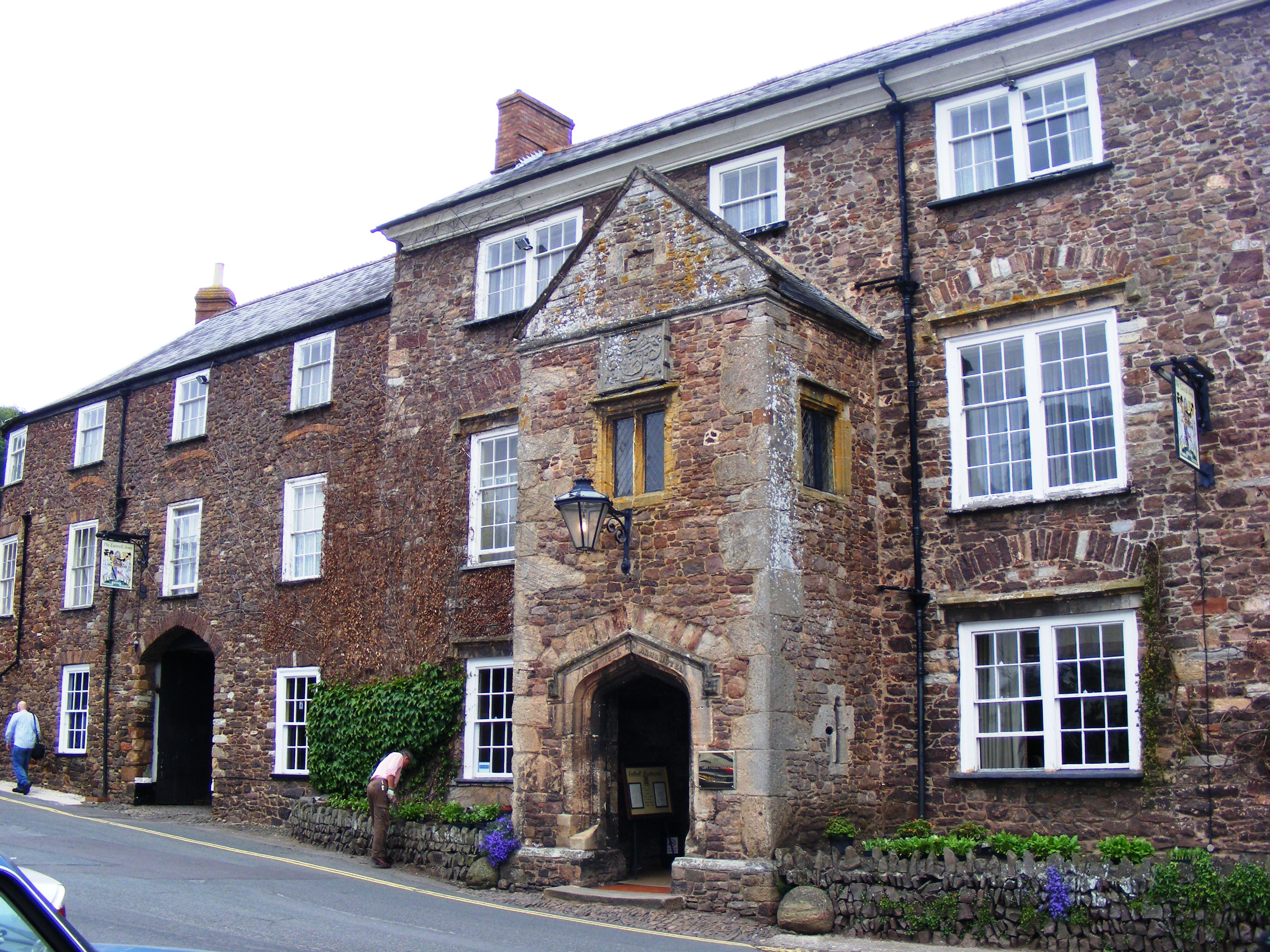
Luttrell Arms

The Luttrell Arms in Dunster, Somerset, England was built in the late 15th century and is located in the centre of the medieval town of Dunster. The building...

Nearby Amenities

Located within 500m of 51.176328,-3.4341496
Power: pole
Lat/Long: 51.1776078/-3.4279809
Power: pole
Lat/Long: 51.1748538/-3.4281455
Power: pole
Lat/Long: 51.1756558/-3.4281104
Power: pole
Lat/Long: 51.1764098/-3.4280671
The data included in this document is from www.openstreetmap.org. The data is made available under ODbL.

Have you been to Geoffrey's Oaks?

Leave your review of Geoffrey's Oaks below (or comments, questions and feedback).