Druid's Combe Wood
Wood, Forest in Somerset Somerset West and Taunton
England
Druid's Combe Wood
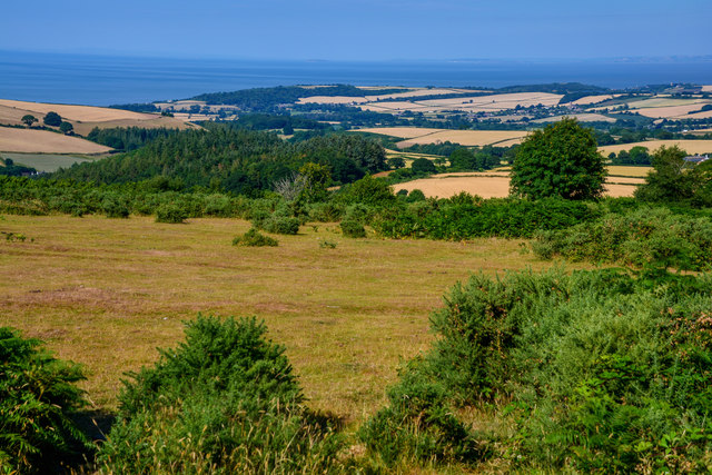
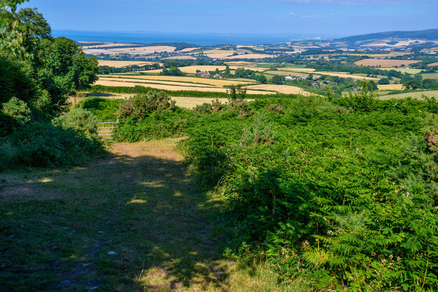
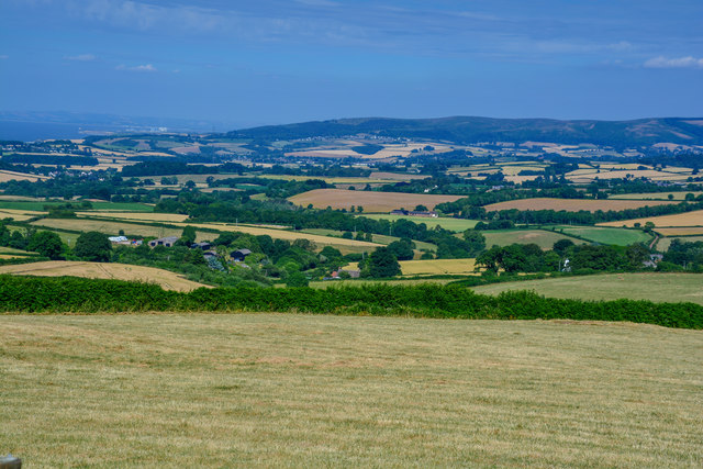
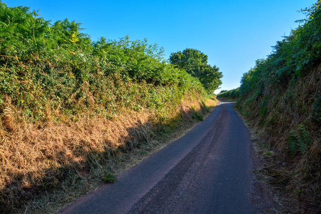
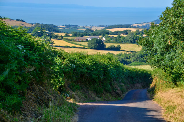
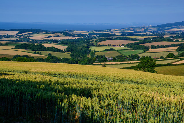
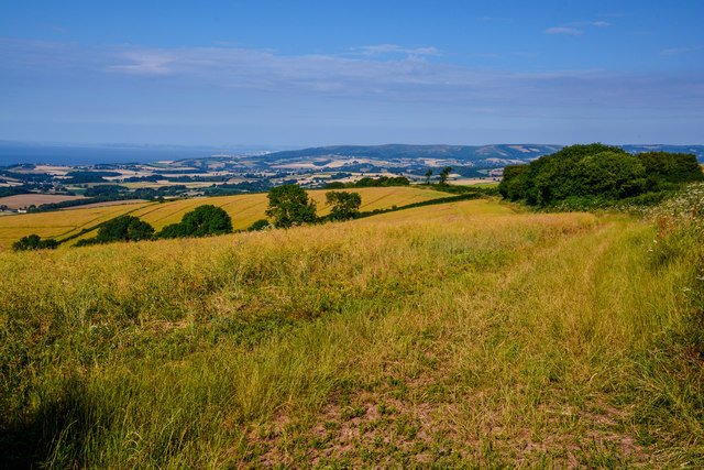
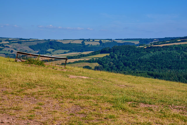
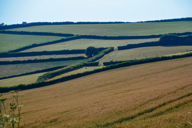
Druid's Combe Wood is a picturesque woodland located in Somerset, England. Covering an area of approximately 100 acres, it is a tranquil haven that attracts nature enthusiasts and walkers alike. The wood is situated near the village of Blagdon, nestled in the Mendip Hills Area of Outstanding Natural Beauty.
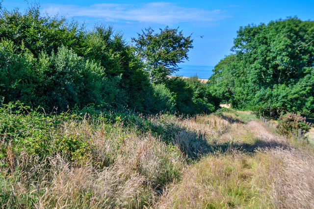
As visitors enter the wood, they are greeted by a canopy of majestic trees, predominantly consisting of oak, ash, and beech. These towering giants provide shade and create a magical atmosphere, especially during the summer months when the dappled sunlight filters through the leaves.
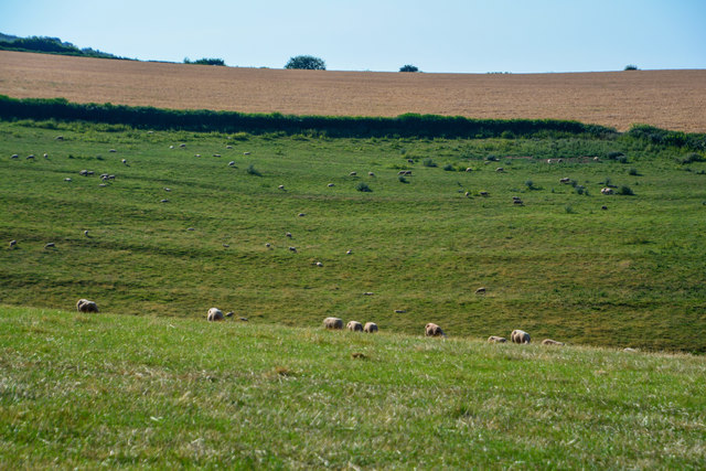
Druid's Combe Wood is well-known for its diverse wildlife. Birdwatchers can spot a variety of species, including woodpeckers, nuthatches, and tawny owls. Small mammals like badgers and foxes can also be seen darting through the undergrowth. Furthermore, the wood is home to a rich variety of flora, with bluebells carpeting the forest floor in the spring.
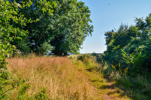
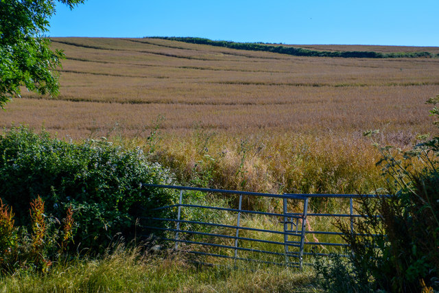
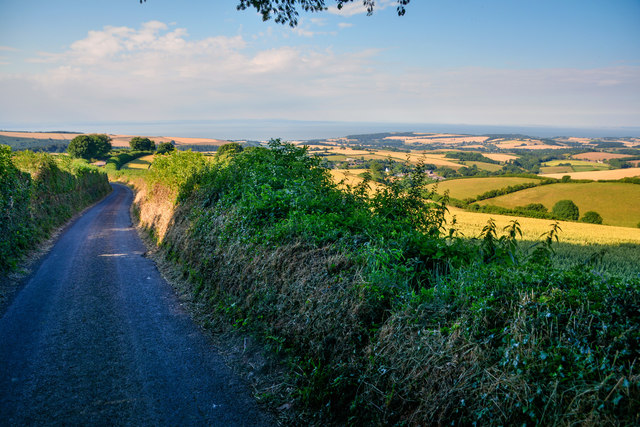
A network of footpaths and bridleways crisscross the woodland, offering visitors the opportunity to explore its beauty. The paths meander through ancient woodlands, along babbling streams, and up gentle slopes, allowing for leisurely walks or more challenging hikes.
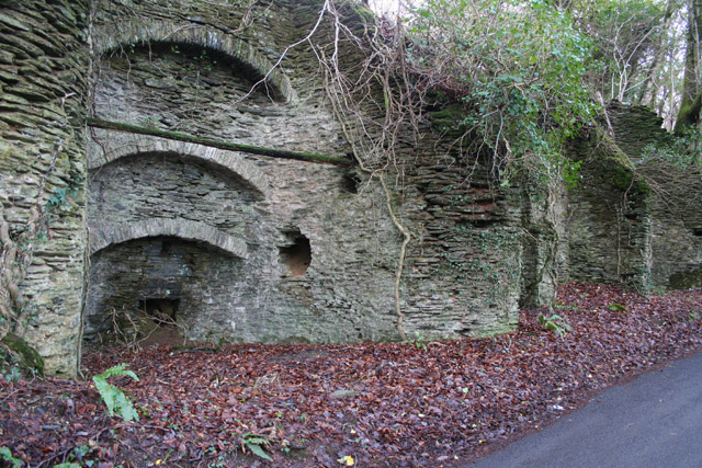
Druid's Combe Wood has a fascinating history, with evidence of human presence dating back to prehistoric times. The wood has been carefully managed for centuries, ensuring its preservation and protection. It is currently managed by a local conservation group, who work tirelessly to maintain the delicate balance between human activity and the natural environment.
In conclusion, Druid's Combe Wood is a captivating location that provides a serene escape from the hustle and bustle of everyday life. Its enchanting woodland, abundant wildlife, and rich history make it a must-visit destination for nature lovers in Somerset.
If you have any feedback on the listing, please let us know in the comments section below.
Druid's Combe Wood Images
Images are sourced within 2km of 51.130519/-3.4327298 or Grid Reference SS9937. Thanks to Geograph Open Source API. All images are credited.


Druid's Combe Wood is located at Grid Ref: SS9937 (Lat: 51.130519, Lng: -3.4327298)
Administrative County: Somerset
District: Somerset West and Taunton
Police Authority: Avon and Somerset
What 3 Words
///bagels.tenses.receiving. Near Williton, Somerset
Nearby Locations
Related Wikis

Rodhuish Common
Rodhuish Common is a univallate Iron Age hill fort in the West Somerset district of Somerset, England. There is a small oval enclosure which is thought...

Church of St Peter, Williton
The Anglican Church of St Peter in Williton in the English county of Somerset is recorded in the National Heritage List for England as a designated Grade...

St Peter's Church, Treborough
The Anglican St Peter's Church at Treborough within the English county of Somerset dates from the 14th century. It is a Grade II* listed building.Although...
Treborough
Treborough is a small village and civil parish 7 miles (11 km) south of Dunster, lying amongst the Brendon Hills within the Exmoor National Park in the...

Luxborough
Luxborough is a small village and civil parish located some 6 miles (9.7 km) south of Dunster, lying amongst the Brendon Hills and the Exmoor National...

Church of St Bartholomew, Rodhuish
The Anglican Church of St Bartholomew in Rodhuish, Somerset, England was built in the 15th century. It is a Grade II* listed building. == History == The...

St Mary's Church, Luxborough
The Anglican St Mary's Church at Luxborough within the English county of Somerset dates from the 13th century. It is a Grade II listed building.The chancel...

Luxborough Road railway station
Luxborough Road (sometimes referred to as "Langham" or "Langham Hill") was an intermediate station on the West Somerset Mineral Railway (WSMR), which was...
Have you been to Druid's Combe Wood?
Leave your review of Druid's Combe Wood below (or comments, questions and feedback).