Hollow Wood

Wood, Forest in Somerset Somerset West and Taunton

England

Hollow Wood

Flood channel of the river Avill I thought this was a road to the beach, but in fact it is a floodwater channel intended to prevent the village of Marsh Street from flooding. <a href="https://www.geograph.org.uk/photo/916957">ST0044 : Looking inland from bridge near Dunster Beach</a> shows it with some water in it, but it's obviously designed to take major storm flows, perhaps like the flash flood that overwhelmed Lynmouth in 1952 See <a href="https://www.geograph.org.uk/photo/1439074">SS9943 : View From Loxhole Bridge</a> for the weir at the head of the channel.
Flood channel of the river Avill Credit: Stephen Craven

Hollow Wood is a small yet enchanting forest located in Somerset, England. Nestled amidst the rolling hills and picturesque countryside, it is a true haven for nature enthusiasts and those seeking tranquility.

Covering an area of approximately 100 acres, Hollow Wood is known for its dense canopy of ancient oak trees, which create a magical atmosphere as sunlight filters through the foliage. The forest floor is adorned with a lush carpet of moss, ferns, and wildflowers, adding to its ethereal beauty.

The wood is crisscrossed with a network of well-maintained footpaths, allowing visitors to explore its various nooks and crannies. These pathways lead to hidden glades, babbling brooks, and small ponds, creating a sense of discovery and adventure.

The wildlife in Hollow Wood is diverse and abundant. The forest is home to a variety of bird species, including woodpeckers, owls, and thrushes, which can be heard serenading visitors throughout the day. Squirrels scamper through the treetops, while rabbits and deer can occasionally be spotted grazing in the meadows surrounding the wood.

Hollow Wood also has a rich history. It is believed to have been a timber source for the local community during the medieval period, and remnants of old saw pits and charcoal hearths can still be found within its boundaries.

In recent years, Hollow Wood has become a popular destination for nature walks, picnics, and photography. Its peaceful ambiance, combined with its breathtaking natural beauty, makes it a must-visit location for anyone seeking solace in the embrace of nature.

If you have any feedback on the listing, please let us know in the comments section below.
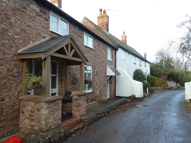
Hollow Wood Images

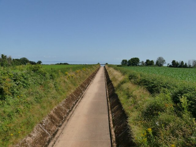
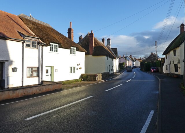
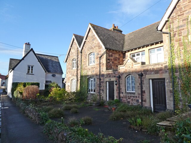
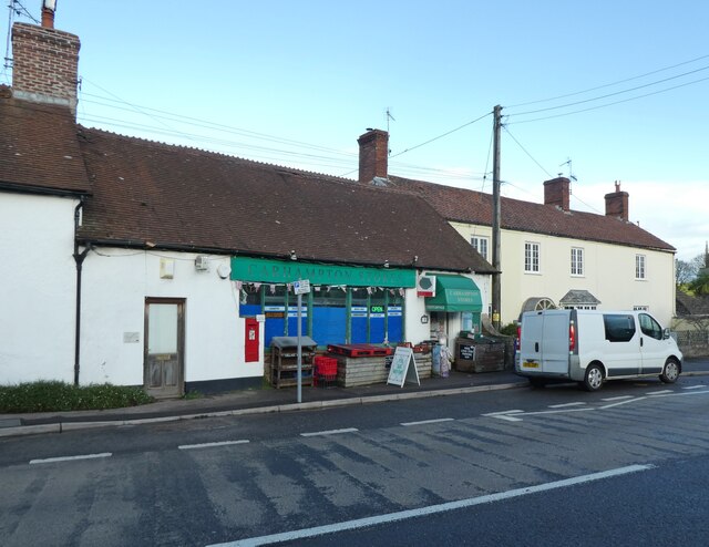
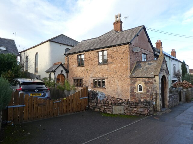
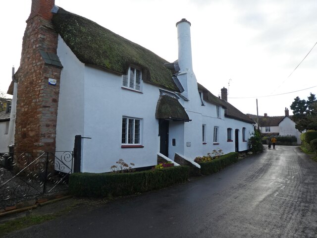
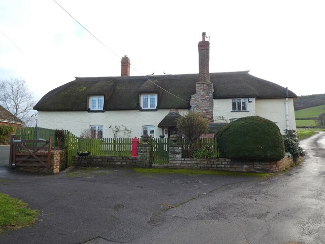
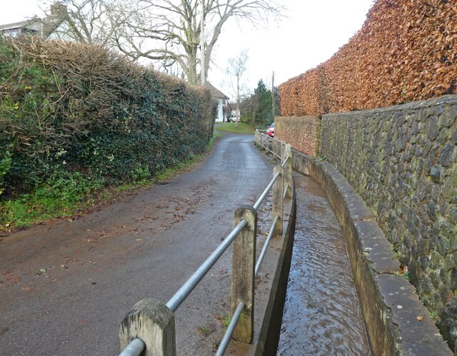
Images are sourced within 2km of 51.177023/-3.4455876 or Grid Reference SS9942. Thanks to Geograph Open Source API. All images are credited.

Flood channel of the river Avill I thought this was a road to the beach, but in fact it is a floodwater channel intended to prevent the village of Marsh Street from flooding. <a href="https://www.geograph.org.uk/photo/916957">ST0044 : Looking inland from bridge near Dunster Beach</a> shows it with some water in it, but it's obviously designed to take major storm flows, perhaps like the flash flood that overwhelmed Lynmouth in 1952 See <a href="https://www.geograph.org.uk/photo/1439074">SS9943 : View From Loxhole Bridge</a> for the weir at the head of the channel.
Flood channel of the river Avill
I thought this was a road to the beach, but in fact it is a floodwater channel intended to prevent the village of Marsh Street from flooding. ST0044 : Looking inland from bridge near Dunster Beach shows it with some water in it, but it's obviously designed to take major storm flows, perhaps like the flash flood that overwhelmed Lynmouth in 1952 See SS9943 : View From Loxhole Bridge for the weir at the head of the channel.
Station Road, Carhampton A rather optimistic road name. The nearest railway station is over a mile away in Blue Anchor.
Station Road, Carhampton
A rather optimistic road name. The nearest railway station is over a mile away in Blue Anchor.
The Old School house, Carhampton
Carhampton Stores
Carhampton Stores
Carhampton Recreation Centre
The Butchers Arms, Carhampton
Cottage, Carhampton
Cottage, Carhampton
Church of St John the Baptist, Carhampton
Hill View Road
Hill View Road
The Crescent, Carhampton
Junction with High Street, Carhampton
Carhampton Village Hall
Converted chapel, Carhampton
Laurel Cottage
Laurel Cottage
Thatched cottage on The Court
Drain, alongside Winsors Lane
Cottages on Winsors Lane
Track from rural level crossing, near Dunster, seen from the West Somerset Railway A pillbox can be seen across the field.
Track from rural level crossing, near Dunster, seen from the West Somerset Railway
A pillbox can be seen across the field.
Show me another place!

Hollow Wood is located at Grid Ref: SS9942 (Lat: 51.177023, Lng: -3.4455876)

Administrative County: Somerset

District: Somerset West and Taunton

Police Authority: Avon and Somerset

What 3 Words

///ventures.renders.uncle. Near Minehead, Somerset

Related Wikis

Gallox Bridge, Dunster

The Gallox Bridge in Dunster, Somerset, England dates from the 15th century. It has been designated as a Grade I listed building and scheduled monument...

Dunster Working Watermill

Dunster Working Watermill (also known as Castle Mill) is a restored 18th century watermill, situated on the River Avill, close to Gallox Bridge, in the...

Dunster Castle

Dunster Castle is a former motte and bailey castle, now a country house, in the village of Dunster, Somerset, England. The castle lies on the top of a...

Dunster

Dunster is a village and civil parish in Somerset, England, within the north-eastern boundary of Exmoor National Park. It lies on the Bristol Channel 2...

Black Ball Camp

Black Ball Camp is an Iron Age hillfort South West of Dunster, Somerset, England on the northern summit of Gallox Hill. It is a Scheduled Monument.It is...

Dunster Dovecote

The Dovecote in Dunster, Somerset, England was probably built in the late 16th century. It has been designated as a Grade II* listed building and Scheduled...

Dunster Priory

Dunster Priory was established as a Benedictine monastery around 1100 in Dunster, Somerset, England. The first church in Dunster was built by William de...
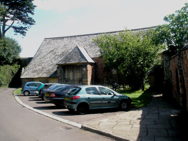
Tithe Barn, Dunster

The Tithe Barn is a 14th-century tithe barn in Dunster, Somerset, England. It has a cruciform plan. The east front has central double doors in heavy oak...

Nearby Amenities

Located within 500m of 51.177023,-3.4455876
Post Box
Brand: Royal Mail
Brand Wikidata: Q638098
Brand Wikipedia: en:Royal Mail
Collection Times: Mo-Fr 11:30; Sa 11:30
Operator: Royal Mail
Operator Wikidata: Q638098
Post Box Type: wall
Ref: TA24 56
Lat/Long: 51.1813696/-3.446777
Pub
The Foresters Arms
Addr City: Minehead
Addr Country: GB
Addr County: Somerset
Addr Housenumber: 33
Addr Postcode: TA24 6SN
Addr Street: West Street
Addr Village: Dunster
Fhrs Authority: West Somerset
Fhrs Id: 160768
Fhrs Local Authority Id: PI/000000588
Lat/Long: 51.1808125/-3.447814
Ford: yes
Lat/Long: 51.1792814/-3.4467983
Barrier: cycle_barrier
Foot: yes
Lat/Long: 51.1799416/-3.4467816
Direction: SE
Tourism: viewpoint
Lat/Long: 51.1811947/-3.443989
Gallox Well
Natural: spring
Lat/Long: 51.1778366/-3.4486205
Millstream Cottage B&B
Addr City: Minehead
Addr Country: GB
Addr County: Somerset
Addr Housenumber: 2
Addr Postcode: TA24 6SW
Addr Street: Mill Lane
Addr Village: Dunster
Tourism: guest_house
Lat/Long: 51.1812756/-3.44696
Fountain
Lat/Long: 51.18127/-3.4441019
Access: permissive
Entrance: yes
Wheelchair: no
Lat/Long: 51.1811492/-3.4450568
Direction: SW
Tourism: viewpoint
Lat/Long: 51.1811059/-3.4447825
Cafe
Camellia House
Delivery: no
Operator: NT
Takeaway: no
Lat/Long: 51.1813855/-3.4440402
Bench
Material: wood
Seats: 2
Lat/Long: 51.1774463/-3.449235
Bench
Material: wood
Seats: 2
Lat/Long: 51.1786418/-3.4477437
Barrier: bollard
Lat/Long: 51.1805382/-3.4463185
Telephone
Booth: K6
Covered: booth
Listed Status: Grade II
Lat/Long: 51.1807503/-3.4480053
The data included in this document is from www.openstreetmap.org. The data is made available under ODbL.

Have you been to Hollow Wood?

Leave your review of Hollow Wood below (or comments, questions and feedback).