Geoffrey's Plantation
Wood, Forest in Somerset Somerset West and Taunton
England
Geoffrey's Plantation
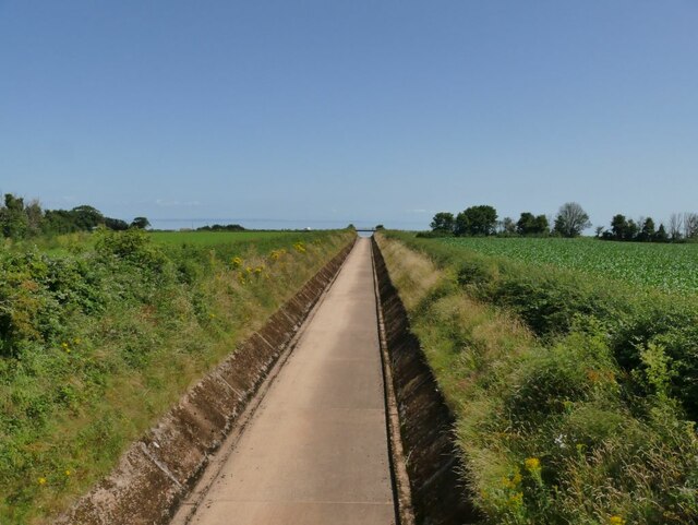
Geoffrey's Plantation is an enchanting estate nestled in the picturesque countryside of Somerset, England. Spread across a sprawling expanse of lush greenery, this plantation is a haven for nature enthusiasts and those seeking solace in the tranquility of the woodlands.
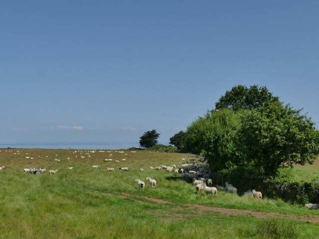
The plantation boasts a diverse range of flora, with an extensive collection of trees, including oak, birch, and beech, that form a dense forest canopy. The woodland is home to an array of wildlife, such as deer, rabbits, and a myriad of bird species, making it a paradise for wildlife lovers and birdwatchers.
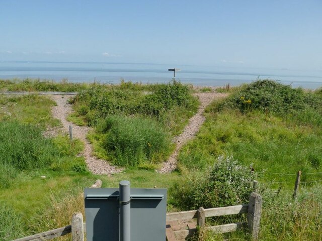
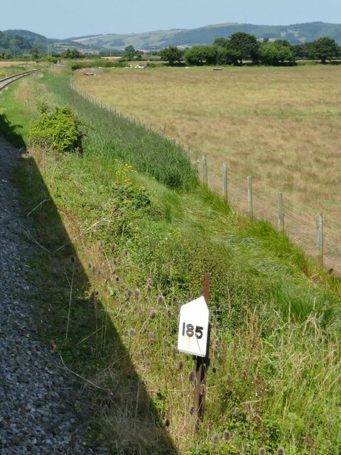
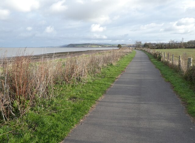
Walking through the plantation, visitors are greeted by a network of well-maintained trails that meander through the forest, providing a perfect opportunity to immerse oneself in the serenity of nature. The trails are also marked with informative signposts, guiding visitors to various points of interest and highlighting the unique ecological aspects of the plantation.
Geoffrey's Plantation offers a range of outdoor activities, catering to all age groups. Adventure seekers can indulge in activities like hiking, biking, and horseback riding, while families can enjoy picnics in designated areas or explore the plantation through guided tours. The plantation also hosts educational workshops and events, promoting environmental awareness and conservation.
For those seeking a retreat from the hustle and bustle of everyday life, Geoffrey's Plantation offers charming accommodation options, including cozy cottages and luxurious lodges, allowing visitors to fully immerse themselves in the beauty of the surroundings.
Geoffrey's Plantation, Somerset is a captivating destination that seamlessly blends natural beauty, recreational activities, and a commitment to preserving the environment, making it a must-visit for nature enthusiasts and those seeking a peaceful retreat in the heart of the English countryside.
If you have any feedback on the listing, please let us know in the comments section below.
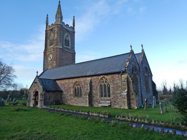
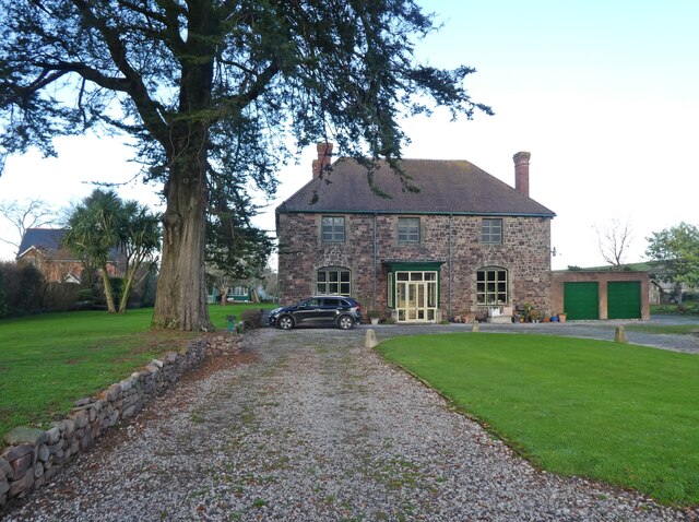
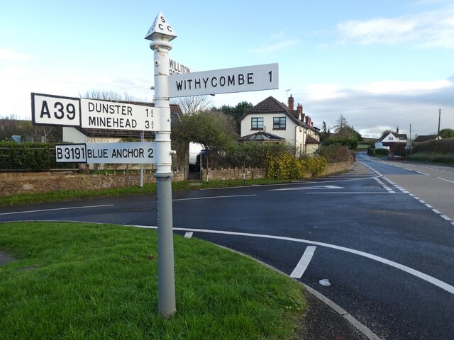
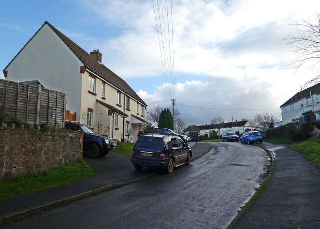
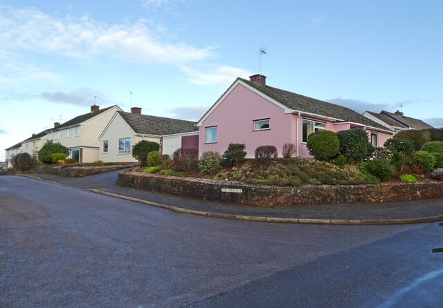
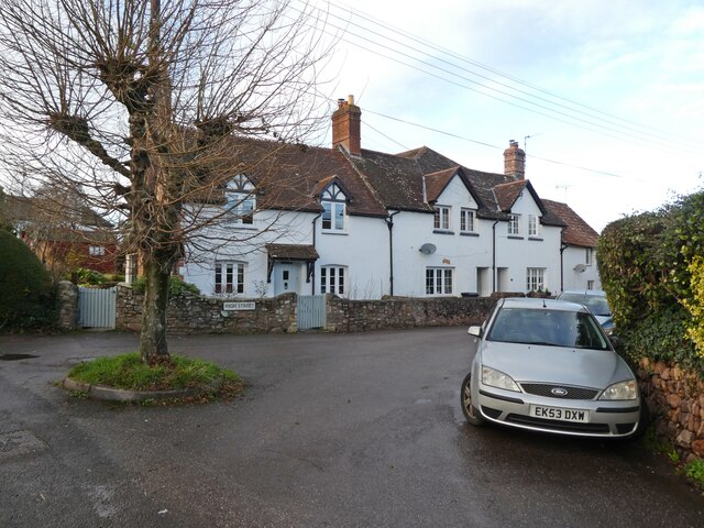
Geoffrey's Plantation Images
Images are sourced within 2km of 51.17374/-3.4347274 or Grid Reference SS9942. Thanks to Geograph Open Source API. All images are credited.
Geoffrey's Plantation is located at Grid Ref: SS9942 (Lat: 51.17374, Lng: -3.4347274)
Administrative County: Somerset
District: Somerset West and Taunton
Police Authority: Avon and Somerset
What 3 Words
///conclude.proclaims.obscuring. Near Minehead, Somerset
Nearby Locations
Related Wikis

Carhampton
Carhampton is a village and civil parish in Somerset, England, 4 miles (6.4 km) to the east of Minehead. Carhampton civil parish stretches from the Bristol...

Gallox Bridge, Dunster
The Gallox Bridge in Dunster, Somerset, England dates from the 15th century. It has been designated as a Grade I listed building and scheduled monument...

Dunster Working Watermill
Dunster Working Watermill (also known as Castle Mill) is a restored 18th century watermill, situated on the River Avill, close to Gallox Bridge, in the...

Dunster Castle
Dunster Castle is a former motte and bailey castle, now a country house, in the village of Dunster, Somerset, England. The castle lies on the top of a...
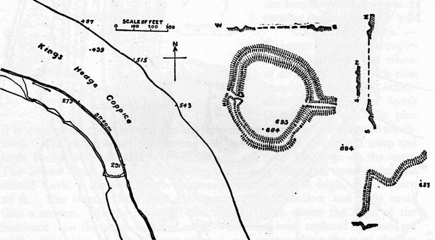
Bat's Castle
Bats Castle is an Iron Age hillfort at the top of a 213 metres (699 ft) high hill in the parish of Carhampton south south west of Dunster in Somerset,...

Dunster
Dunster is a village and civil parish in Somerset, England, within the north-eastern boundary of Exmoor National Park. It lies on the Bristol Channel 2...

Black Ball Camp
Black Ball Camp is an Iron Age hillfort South West of Dunster, Somerset, England on the northern summit of Gallox Hill. It is a Scheduled Monument.It is...

Dunster Museum & Doll Collection
The Dunster Museum & Doll Collection in Dunster, Somerset, England houses a collection of more than 800 dolls from around the world, based on the collection...
Nearby Amenities
Located within 500m of 51.17374,-3.4347274Have you been to Geoffrey's Plantation?
Leave your review of Geoffrey's Plantation below (or comments, questions and feedback).