Moss Wood

Wood, Forest in Cumberland Copeland

England

Moss Wood

Whitehaven Tunnel The north entrance of Whitehaven Tunnel; the end of the platform ramp of Platform 2 of Whitehaven Station (photograph <a href="https://www.geograph.org.uk/photo/7109238">NX9718 : Platform 2, Whitehaven Station</a>) is visible in the right foreground (see also photographs <a href="https://www.geograph.org.uk/photo/2322384">NX9718 : Whitehaven Tunnel</a> and <a href="https://www.geograph.org.uk/photo/6862853">NX9718 : Air Shaft No.5, Whitehaven Tunnel</a>).
The small antenna visible at the crown of the brick arch is to permit two way communication with trains in the tunnel.
The King Charles III England Coast Path and National Cycle Route 72 pass over the flat roofed section of the tunnel in the foreground.
Whitehaven Tunnel Credit: Adrian Taylor

Moss Wood is a picturesque forest located in Cumberland, a county in the northwest region of England. Covering an expansive area of land, this woodland is known for its rich biodiversity, scenic beauty, and tranquil atmosphere.

The forest is characterized by its dense vegetation, primarily consisting of moss-covered trees, hence the name Moss Wood. The lush greenery creates a serene and enchanting environment, attracting nature enthusiasts, hikers, and photographers alike. The forest is dominated by a diverse range of tree species such as oak, beech, birch, and pine, which provide a habitat for various wildlife species.

Walking through Moss Wood, visitors can enjoy the calming sounds of birds chirping and the rustling of leaves underfoot. The forest is home to a wide array of wildlife, including deer, foxes, rabbits, and a variety of bird species. Nature lovers can spot rare and elusive creatures, making it a popular spot for wildlife enthusiasts and birdwatchers.

The woodland is intersected by several well-maintained trails, allowing visitors to explore its beauty at their own pace. Along these trails, there are picnic areas and benches where visitors can relax and immerse themselves in the tranquility of the surroundings. In addition to its natural beauty, Moss Wood also offers educational opportunities, with guided tours and workshops available to learn about the forest's ecology and conservation efforts.

Moss Wood, Cumberland is a haven for those seeking peace, serenity, and a connection with nature. With its stunning landscapes, diverse wildlife, and educational offerings, it is a must-visit destination for anyone visiting the region.

If you have any feedback on the listing, please let us know in the comments section below.

Moss Wood Images

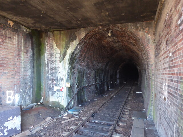
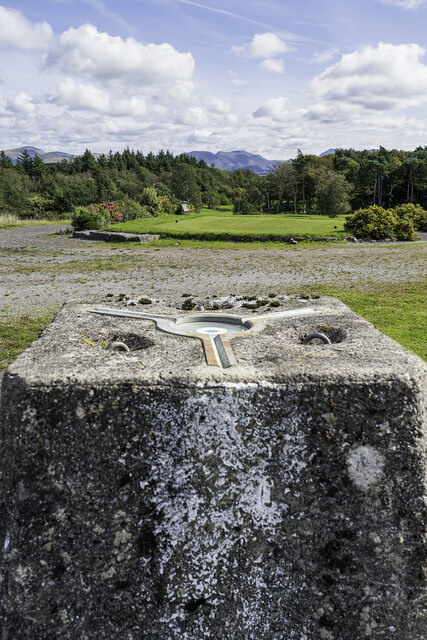
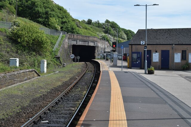
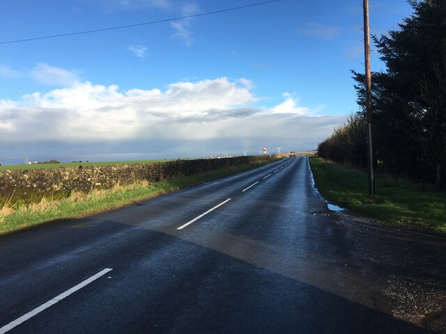
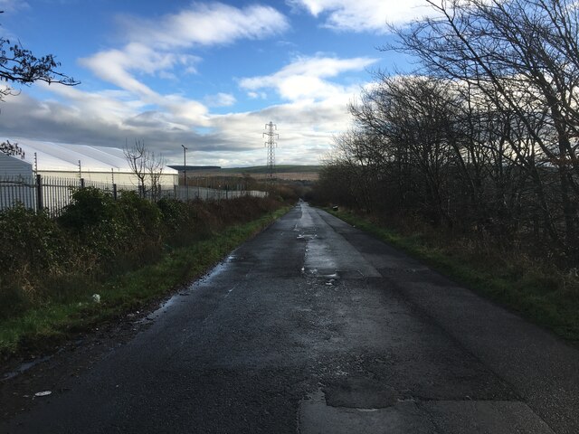
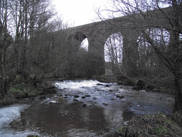
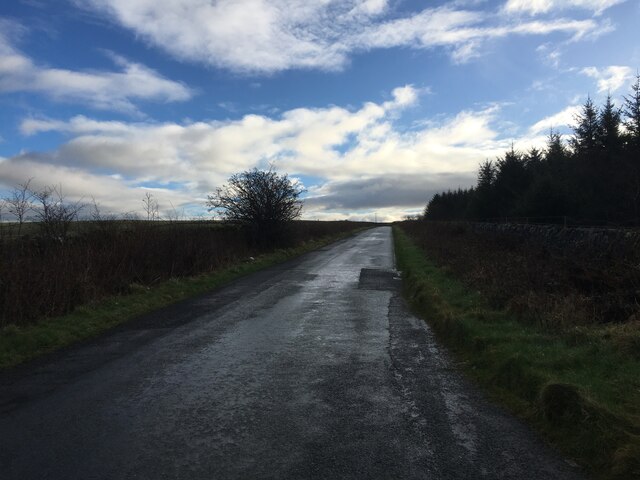
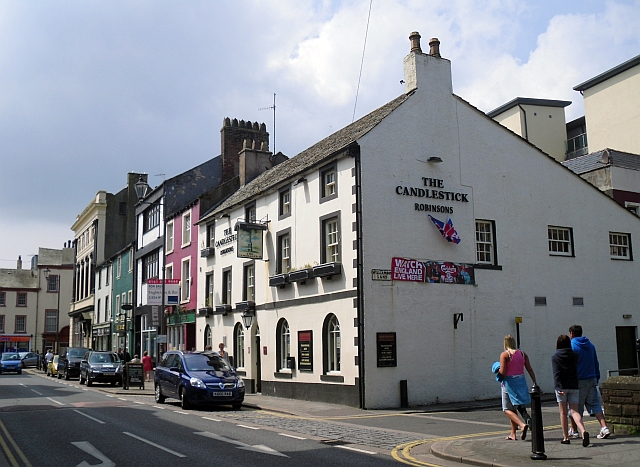
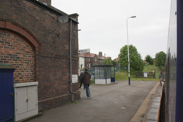
Images are sourced within 2km of 54.546238/-3.5583927 or Grid Reference NX9917. Thanks to Geograph Open Source API. All images are credited.

Whitehaven Tunnel The north entrance of Whitehaven Tunnel; the end of the platform ramp of Platform 2 of Whitehaven Station (photograph <a href="https://www.geograph.org.uk/photo/7109238">NX9718 : Platform 2, Whitehaven Station</a>) is visible in the right foreground (see also photographs <a href="https://www.geograph.org.uk/photo/2322384">NX9718 : Whitehaven Tunnel</a> and <a href="https://www.geograph.org.uk/photo/6862853">NX9718 : Air Shaft No.5, Whitehaven Tunnel</a>).
The small antenna visible at the crown of the brick arch is to permit two way communication with trains in the tunnel.
The King Charles III England Coast Path and National Cycle Route 72 pass over the flat roofed section of the tunnel in the foreground.
Whitehaven Tunnel
The north entrance of Whitehaven Tunnel; the end of the platform ramp of Platform 2 of Whitehaven Station (photograph NX9718 : Platform 2, Whitehaven Station) is visible in the right foreground (see also photographs NX9718 : Whitehaven Tunnel and NX9718 : Air Shaft No.5, Whitehaven Tunnel). The small antenna visible at the crown of the brick arch is to permit two way communication with trains in the tunnel. The King Charles III England Coast Path and National Cycle Route 72 pass over the flat roofed section of the tunnel in the foreground.
Duke Street, Whitehaven An 1980s photo showing the coal conveyor(?) to the harbour looming over the town.
Duke Street, Whitehaven
An 1980s photo showing the coal conveyor(?) to the harbour looming over the town.
St. Nicholas Church Tower, Whitehaven St Nicholas' Church was originally built in 1693. In 1701 Mildred Warner Gale, grandmother of American President George Washington, was buried in the churchyard. The church was rebuilt in 1883. It consisted of a nave, chancel, side chapel, clerestory and west tower. On 31st August 1971 fire destroyed much of the nave and sanctuary. Rebuilding was initially considered but instead the church tower was fitted out as an auxiliary chapel and the rest demolished.
St. Nicholas Church Tower, Whitehaven
St Nicholas' Church was originally built in 1693. In 1701 Mildred Warner Gale, grandmother of American President George Washington, was buried in the churchyard. The church was rebuilt in 1883. It consisted of a nave, chancel, side chapel, clerestory and west tower. On 31st August 1971 fire destroyed much of the nave and sanctuary. Rebuilding was initially considered but instead the church tower was fitted out as an auxiliary chapel and the rest demolished.
St. James Church, Whitehaven Intersected Station <span class="nowrap"><a title="https://trigpointing.uk/trig/10770" rel="nofollow ugc noopener" href="https://trigpointing.uk/trig/10770">Link</a><img style="margin-left:2px;" alt="External link" title="External link - shift click to open in new window" src="https://s1.geograph.org.uk/img/external.png" width="10" height="10"/></span>

It stands in an elevated position overlooking the town. The church was built in 1752–53 at a cost of £3,400 (equivalent to £550,000 in 2021)

<span class="nowrap"><a title="https://en.wikipedia.org/wiki/St_James%27_Church,_Whitehaven" rel="nofollow ugc noopener" href="https://en.wikipedia.org/wiki/St_James%27_Church,_Whitehaven">Link</a><img style="margin-left:2px;" alt="External link" title="External link - shift click to open in new window" src="https://s1.geograph.org.uk/img/external.png" width="10" height="10"/></span>
St. James Church, Whitehaven
Intersected Station LinkExternal link It stands in an elevated position overlooking the town. The church was built in 1752–53 at a cost of £3,400 (equivalent to £550,000 in 2021) LinkExternal link
Standing Stones Trigpoint and Golf Course, Whitehaven Easy road side Trig <span class="nowrap"><a title="http://www.trigpointinguk.com/trigs/trig-details.php?t=6154" rel="nofollow ugc noopener" href="http://www.trigpointinguk.com/trigs/trig-details.php?t=6154">Link</a><img style="margin-left:2px;" alt="External link" title="External link - shift click to open in new window" src="https://s1.geograph.org.uk/img/external.png" width="10" height="10"/></span> near the golf course
Standing Stones Trigpoint and Golf Course, Whitehaven
Easy road side Trig LinkExternal link near the golf course
Tunnel to Corkickle Whitehaven Station
Tunnel to Corkickle
Whitehaven Station
Whitehaven Library The rear, ramped staff entrance to Whitehaven Library
Access to the service yard, which serves both Whitehaven Library and Whitehaven Civic Centre is from Catherine Street just visible in the right background, with Morrison’s’ supermarket visible beyond.
The white van still carries the logo of Cumbria County Council, more than one month after it had been superseded by Cumberland and Westmorland and Furness Councils.
Whitehaven Library
The rear, ramped staff entrance to Whitehaven Library Access to the service yard, which serves both Whitehaven Library and Whitehaven Civic Centre is from Catherine Street just visible in the right background, with Morrison’s’ supermarket visible beyond. The white van still carries the logo of Cumbria County Council, more than one month after it had been superseded by Cumberland and Westmorland and Furness Councils.
Minor road near Moresby Parks
Keekle viaduct
Keekle viaduct
Minor road towards Frizington
The Candlestick public house Situated in Tangier Street, at the corner with Williamson Lane.
The pub started out as The George & Dragon in 1829 but was subsequently called The Welsh Arms, because of its popularity with Welsh sailors. The pub was refurbished in 2004, and renamed The Candlestick after the local landmark (information from pub website <span class="nowrap"><a title="http://candlestickwhitehaven.robinsonsbrewery.com/our-pub" rel="nofollow ugc noopener" href="http://candlestickwhitehaven.robinsonsbrewery.com/our-pub">Link</a><img style="margin-left:2px;" alt="External link" title="External link - shift click to open in new window" src="https://s1.geograph.org.uk/img/external.png" width="10" height="10"/></span> ).
The Candlestick public house
Situated in Tangier Street, at the corner with Williamson Lane. The pub started out as The George & Dragon in 1829 but was subsequently called The Welsh Arms, because of its popularity with Welsh sailors. The pub was refurbished in 2004, and renamed The Candlestick after the local landmark (information from pub website LinkExternal link ).
Corkickle railway station
Benchmark on the wall of New Road Ordnance Survey cut mark benchmark described on the Bench Mark Database at <span class="nowrap"><a title="http://www.bench-marks.org.uk/bm43735" rel="nofollow ugc noopener" href="http://www.bench-marks.org.uk/bm43735">Link</a><img style="margin-left:2px;" alt="External link" title="External link - shift click to open in new window" src="https://s1.geograph.org.uk/img/external.png" width="10" height="10"/></span>
Benchmark on the wall of New Road
Ordnance Survey cut mark benchmark described on the Bench Mark Database at LinkExternal link
The Olympic Torch is due On the wall behind the barriers and left of the steps is an OS benchmark <a href="https://www.geograph.org.uk/photo/3026407">NX9718 : Benchmark on the wall of New Road</a>
The Olympic Torch is due
On the wall behind the barriers and left of the steps is an OS benchmark NX9718 : Benchmark on the wall of New Road
Benchmark on #81 Lowther Street Ordnance Survey cut mark benchmark described on the Bench Mark Database at <span class="nowrap"><a title="http://www.bench-marks.org.uk/bm43736" rel="nofollow ugc noopener" href="http://www.bench-marks.org.uk/bm43736">Link</a><img style="margin-left:2px;" alt="External link" title="External link - shift click to open in new window" src="https://s1.geograph.org.uk/img/external.png" width="10" height="10"/></span>
Benchmark on #81 Lowther Street
Ordnance Survey cut mark benchmark described on the Bench Mark Database at LinkExternal link
Junction of Lowther Street and Catherine Street There is an OS benchmark <a href="https://www.geograph.org.uk/photo/3026423">NX9717 : Benchmark on #81 Lowther Street</a> on the angle of the building right of the black down pipe
Junction of Lowther Street and Catherine Street
There is an OS benchmark NX9717 : Benchmark on #81 Lowther Street on the angle of the building right of the black down pipe
St. Nicholas Church Tower, Whitehaven A fire in 1973 destroyed most of the church, which was first built in 1693, leaving just the tower standing. The tower is open to the public who can climb to the top and the building still contains a small chapel and a cafe.
St. Nicholas Church Tower, Whitehaven
A fire in 1973 destroyed most of the church, which was first built in 1693, leaving just the tower standing. The tower is open to the public who can climb to the top and the building still contains a small chapel and a cafe.
Show me another place!

Moss Wood is located at Grid Ref: NX9917 (Lat: 54.546238, Lng: -3.5583927)

Administrative County: Cumbria

District: Copeland

Police Authority: Cumbria

What 3 Words

///seasick.conqueror.harmlessly. Near Whitehaven, Cumbria

Related Wikis

St Benedict's Catholic High School, Hensingham

St Benedict's Catholic High School is a co-educational 11–18 comprehensive school on the edge of Whitehaven, Cumbria, England. It is located between the...

The Whitehaven Academy

The Whitehaven Academy (formerly Whitehaven School) is a comprehensive co-educational secondary school with academy status, located in Whitehaven, in west...

Moresby Junction Halt railway station

Moresby Junction Halt railway station was opened by the Cleator and Workington Junction Railway (C&WJR) in 1910. Very few people lived near the halt, which...

Hensingham

Hensingham is a suburb of Whitehaven and former civil parish, now in the parish of Whitehaven, in the Cumberland district, in the ceremonial county of...

Nearby Amenities

Located within 500m of 54.546238,-3.5583927
Bus Stop
Caldbeck Road at Red Lonning (W bound)
Naptan AtcoCode: 090050301746
Naptan Bearing: W
Naptan CommonName: Caldbeck Road at Red Lonning (W bound)
Naptan Indicator: near
Naptan Landmark: junction with Red Lonning
Naptan NaptanCode: cumawmjt
Naptan Street: Caldbeck Road
Naptan Verified: no
Source: naptan_import
Lat/Long: 54.5434217/-3.5621965
Bus Stop
St Benedicts RC High School
Local Ref: AT
Naptan AtcoCode: 090050302942
Naptan Bearing: S
Naptan BusStopType: CUS
Naptan CommonName: St Benedicts RC High School
Naptan Indicator: at
Naptan Landmark: St Benedicts RC High School
Naptan NaptanCode: cumawpja
Naptan Street: Red Lonning
Naptan Verified: no
Source: naptan_import
Lat/Long: 54.5449432/-3.5611467
Bus Stop
Caldbeck Road at Red Lonning (E bound)
Naptan AtcoCode: 090050304344
Naptan Bearing: E
Naptan CommonName: Caldbeck Road at Red Lonning (E bound)
Naptan Indicator: near
Naptan Landmark: junction with Red Lonning
Naptan NaptanCode: cumdtdwa
Naptan Street: Caldbeck Road
Naptan Verified: no
Source: naptan_import
Lat/Long: 54.5435754/-3.562125
Power: tower
Lat/Long: 54.544928/-3.5590636
Power: tower
Lat/Long: 54.5461911/-3.5511896
Parking
Lat/Long: 54.5480106/-3.5609566
Power: tower
Lat/Long: 54.549154/-3.5617922
Power: tower
Lat/Long: 54.5471228/-3.5604807
Power: tower
Lat/Long: 54.5429598/-3.5566984
Turning Circle
Lat/Long: 54.5445638/-3.5631247
New Monkray
Place: locality
Lat/Long: 54.5435133/-3.5523672
Power: pole
Lat/Long: 54.5460583/-3.5526878
Power: pole
Lat/Long: 54.5450821/-3.5535152
Power: pole
Lat/Long: 54.5444994/-3.5543802
Power: pole
Lat/Long: 54.5441229/-3.5549636
Power: pole
Lat/Long: 54.5428579/-3.5555725
Power: pole
Lat/Long: 54.5460331/-3.5632822
Power: pole
Lat/Long: 54.5461824/-3.5640945
Power: pole
Lat/Long: 54.5463116/-3.5648602
Power: pole
Lat/Long: 54.5467264/-3.5655347
Power: pole
Lat/Long: 54.5476276/-3.5649817
The data included in this document is from www.openstreetmap.org. The data is made available under ODbL.

Have you been to Moss Wood?

Leave your review of Moss Wood below (or comments, questions and feedback).