Slowley Wood
Wood, Forest in Somerset Somerset West and Taunton
England
Slowley Wood
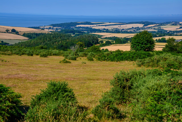
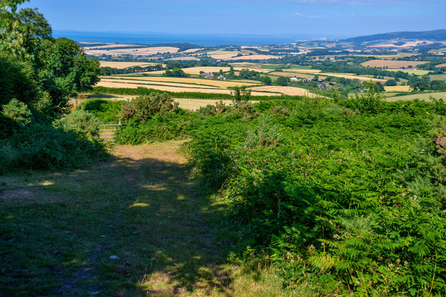
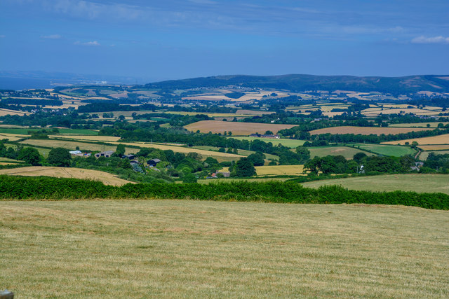
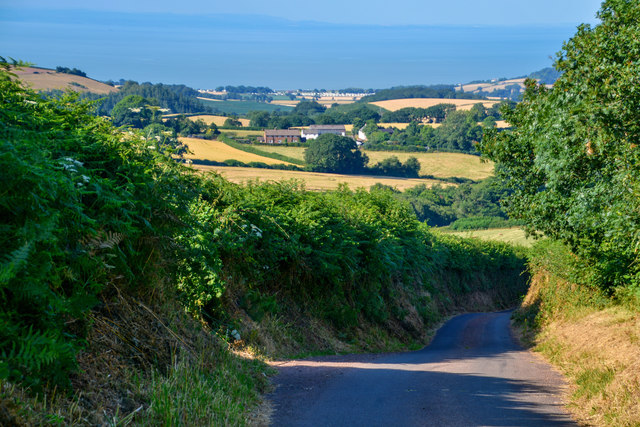
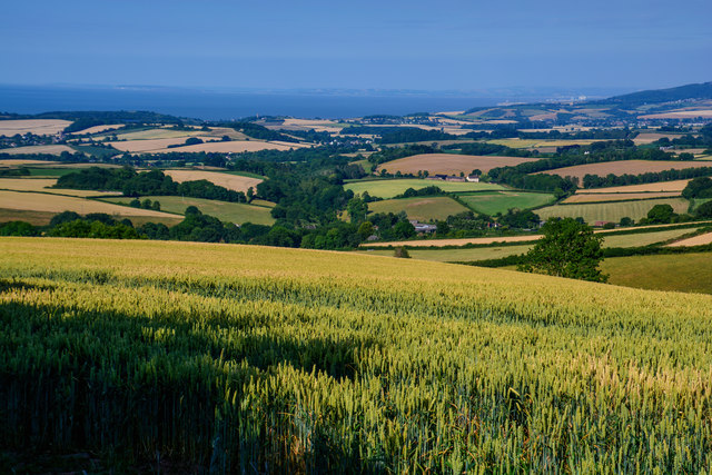
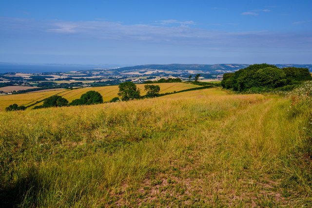
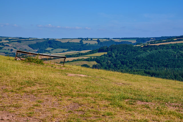
Slowley Wood is a captivating forest located in Somerset, England. Spread across an area of approximately 100 acres, this wood is a hidden gem for nature enthusiasts and hikers alike. It is situated in a tranquil and picturesque setting, offering a peaceful escape from the hustle and bustle of everyday life.
The wood is primarily comprised of deciduous trees, including oak, ash, and beech, which create a dense canopy overhead. This canopy provides shade and shelter for a diverse range of flora and fauna that call Slowley Wood their home. Bluebells, primroses, and ferns carpet the forest floor, adding to its natural charm.
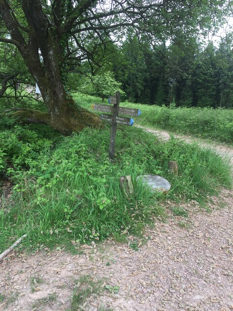
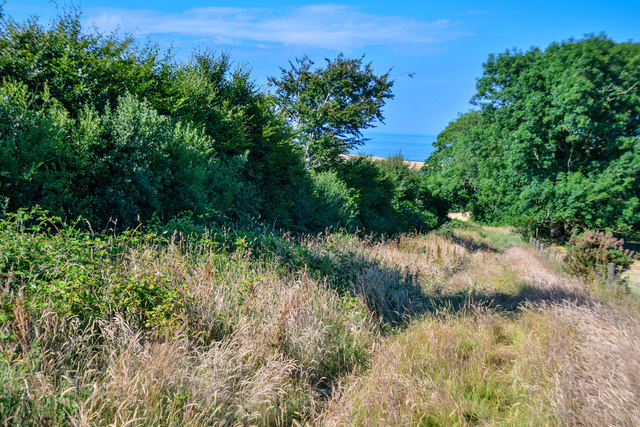
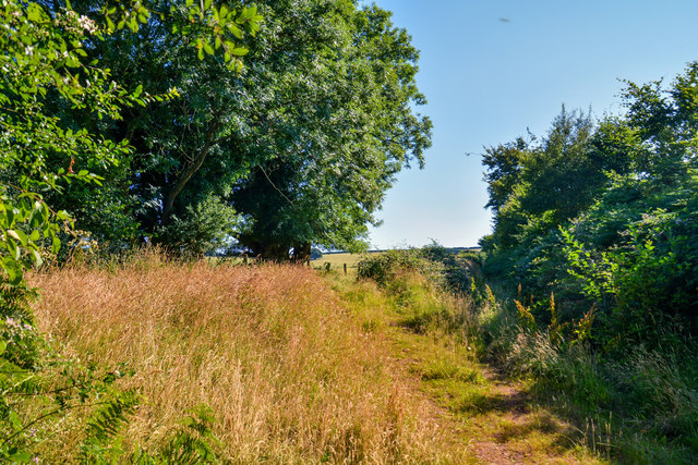
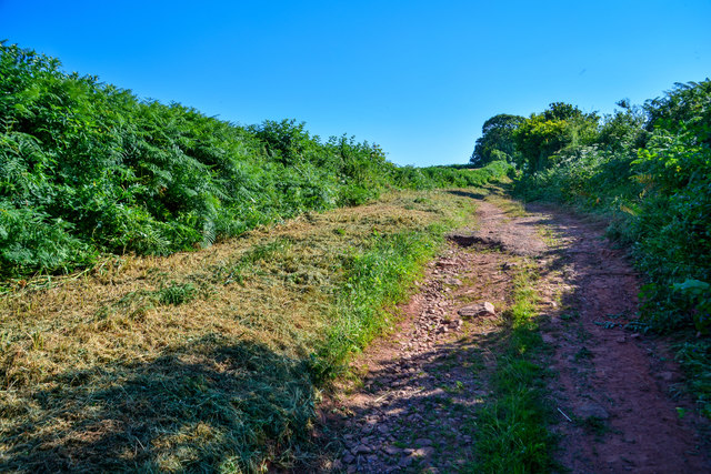
A network of well-maintained footpaths meanders through the wood, allowing visitors to explore its beauty at their own pace. These paths are suitable for all levels of fitness, and there are designated areas for picnics and rest stops along the way. The wood is also equipped with information boards that provide details about the various tree species and wildlife that can be found in the area.
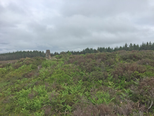
Slowley Wood is known for its rich biodiversity, attracting birdwatchers who come to spot species such as woodpeckers, owls, and various songbirds. It is also home to a variety of small mammals, including badgers, foxes, and squirrels. The wood has been designated as a Site of Special Scientific Interest (SSSI) due to its unique ecosystem and rare species.
Visitors to Slowley Wood can immerse themselves in the tranquility of nature, enjoying the sights and sounds of the woodland throughout the year. Whether it's a leisurely stroll, a family picnic, or birdwatching, Slowley Wood offers a serene and enchanting experience for all who venture into its embrace.
If you have any feedback on the listing, please let us know in the comments section below.
Slowley Wood Images
Images are sourced within 2km of 51.133761/-3.4411486 or Grid Reference SS9938. Thanks to Geograph Open Source API. All images are credited.


Slowley Wood is located at Grid Ref: SS9938 (Lat: 51.133761, Lng: -3.4411486)
Administrative County: Somerset
District: Somerset West and Taunton
Police Authority: Avon and Somerset
What 3 Words
///stacks.cherished.storms. Near Minehead, Somerset
Nearby Locations
Related Wikis

Rodhuish Common
Rodhuish Common is a univallate Iron Age hill fort in the West Somerset district of Somerset, England. There is a small oval enclosure which is thought...

Luxborough
Luxborough is a small village and civil parish located some 6 miles (9.7 km) south of Dunster, lying amongst the Brendon Hills and the Exmoor National...

St Mary's Church, Luxborough
The Anglican St Mary's Church at Luxborough within the English county of Somerset dates from the 13th century. It is a Grade II listed building.The chancel...

Church of St Bartholomew, Rodhuish
The Anglican Church of St Bartholomew in Rodhuish, Somerset, England was built in the 15th century. It is a Grade II* listed building. == History == The...

Church of St Peter, Williton
The Anglican Church of St Peter in Williton in the English county of Somerset is recorded in the National Heritage List for England as a designated Grade...

St Peter's Church, Treborough
The Anglican St Peter's Church at Treborough within the English county of Somerset dates from the 14th century. It is a Grade II* listed building.Although...
Treborough
Treborough is a small village and civil parish 7 miles (11 km) south of Dunster, lying amongst the Brendon Hills within the Exmoor National Park in the...

Luxborough Road railway station
Luxborough Road (sometimes referred to as "Langham" or "Langham Hill") was an intermediate station on the West Somerset Mineral Railway (WSMR), which was...
Have you been to Slowley Wood?
Leave your review of Slowley Wood below (or comments, questions and feedback).