Withes Alders
Wood, Forest in Somerset Somerset West and Taunton
England
Withes Alders
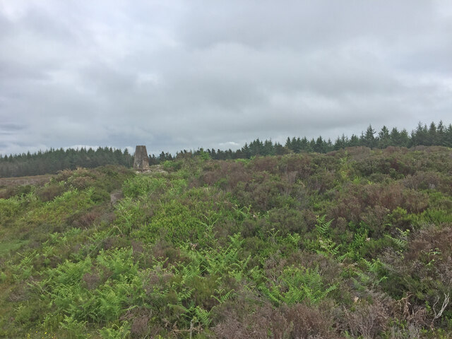
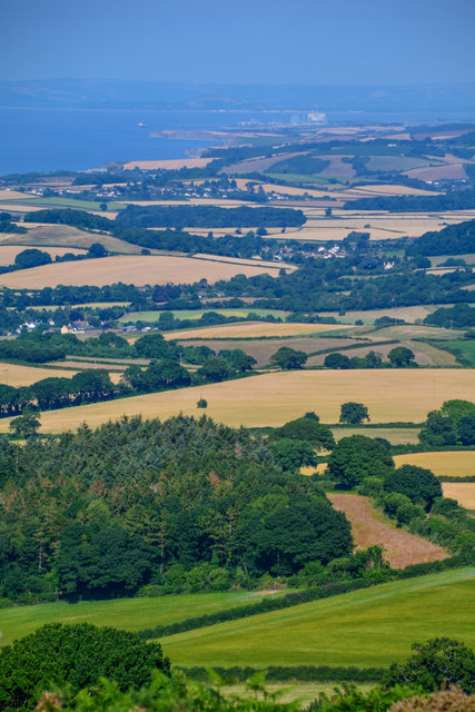
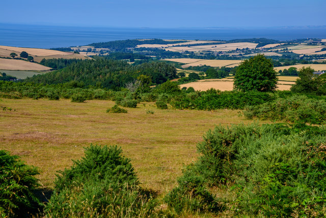
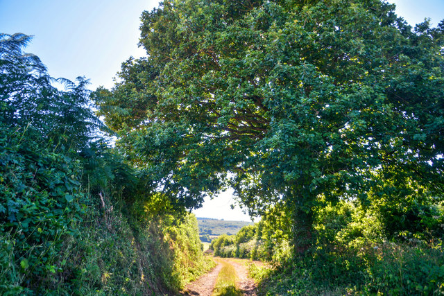
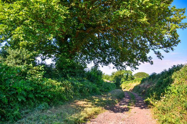
Witches Alders, Somerset is a picturesque wood located in the southwestern region of England. Nestled within the larger Somerset Forest, this woodland area spans approximately 100 acres and is renowned for its natural beauty and diverse ecosystem.
The wood is primarily composed of alder trees, which thrive in the wetland environment created by the nearby River Parrett. With their distinctive silvery bark and serrated leaves, these trees create a unique and enchanting atmosphere within the forest.
Witches Alders is home to a rich variety of wildlife, making it a popular destination for nature enthusiasts and bird watchers alike. Visitors may be lucky enough to spot roe deer, badgers, and foxes among the trees, while the numerous bird species, such as woodpeckers and tawny owls, provide a symphony of sounds throughout the day.
For those interested in history, Witches Alders holds a certain mystique. Legends and folklore surround the wood, with tales of witches and supernatural happenings dating back centuries. The name itself alludes to these stories, adding to the intrigue of the area.
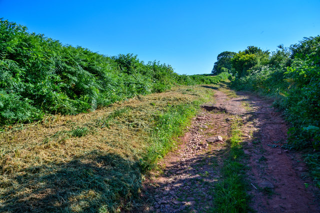
The wood is accessible to the public, with well-maintained footpaths and trails winding through the trees. Nature walks and guided tours are available, providing opportunities to learn more about the flora and fauna of the area and its significance to the local ecosystem.
Overall, Witches Alders, Somerset is a captivating woodland, offering visitors a chance to immerse themselves in the natural wonders and captivating history of this unique part of England.
If you have any feedback on the listing, please let us know in the comments section below.
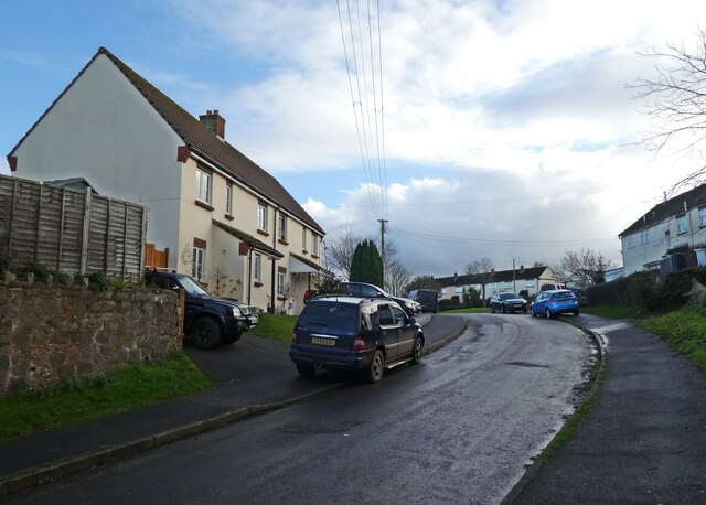
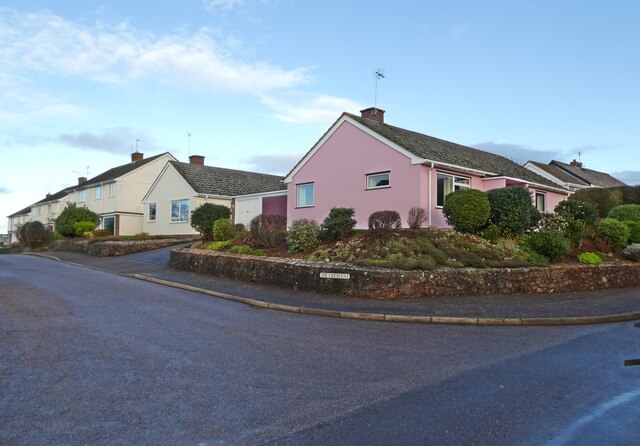
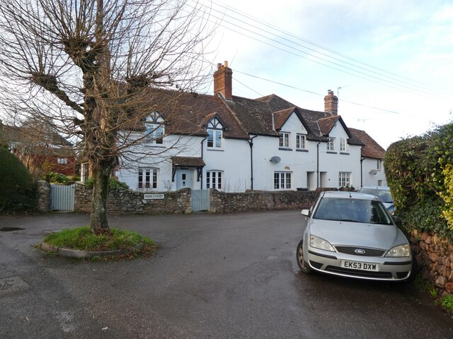
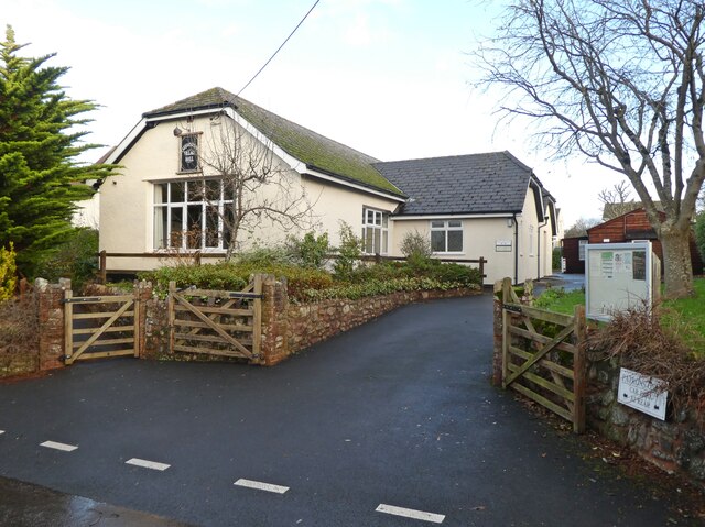
Withes Alders Images
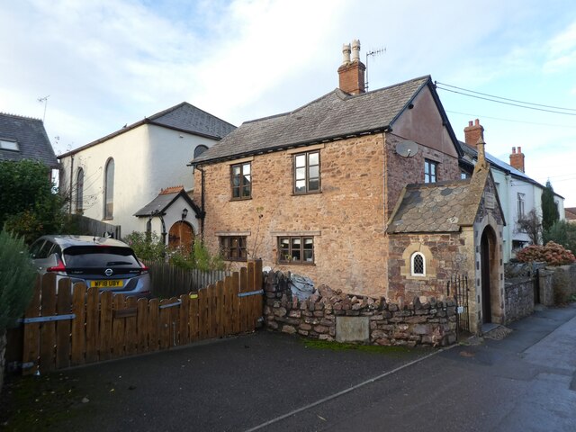
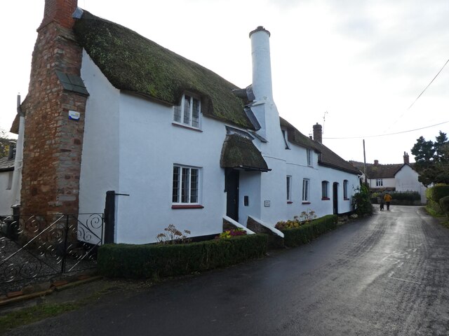
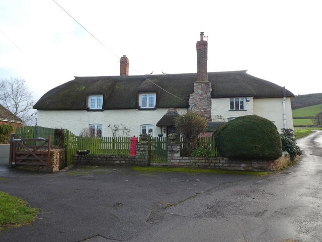
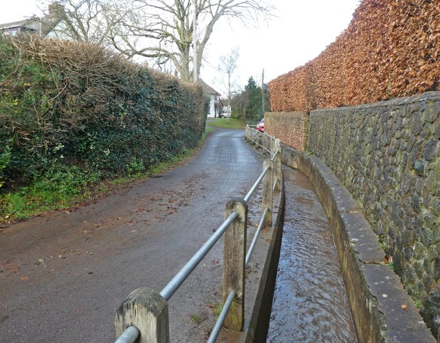
Images are sourced within 2km of 51.162323/-3.4424106 or Grid Reference SS9941. Thanks to Geograph Open Source API. All images are credited.
Withes Alders is located at Grid Ref: SS9941 (Lat: 51.162323, Lng: -3.4424106)
Administrative County: Somerset
District: Somerset West and Taunton
Police Authority: Avon and Somerset
What 3 Words
///inversion.sizzled.recur. Near Minehead, Somerset
Nearby Locations
Related Wikis
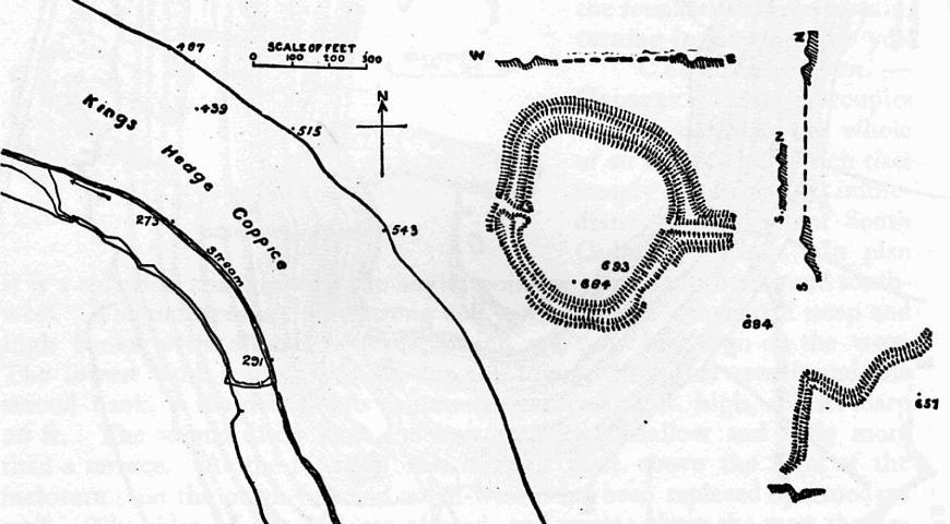
Bat's Castle
Bats Castle is an Iron Age hillfort at the top of a 213 metres (699 ft) high hill in the parish of Carhampton south south west of Dunster in Somerset,...

Long Wood Enclosure
Long Wood Enclosure is an enclosure which may have been a univallate Iron Age hill fort, in the West Somerset district of Somerset, England. The hill fort...

Black Ball Camp
Black Ball Camp is an Iron Age hillfort South West of Dunster, Somerset, England on the northern summit of Gallox Hill. It is a Scheduled Monument.It is...

Carhampton
Carhampton is a village and civil parish in Somerset, England, 4 miles (6.4 km) to the east of Minehead. Carhampton civil parish stretches from the Bristol...

Gallox Bridge, Dunster
The Gallox Bridge in Dunster, Somerset, England dates from the 15th century. It has been designated as a Grade I listed building and scheduled monument...

Dunster Working Watermill
Dunster Working Watermill (also known as Castle Mill) is a restored 18th century watermill, situated on the River Avill, close to Gallox Bridge, in the...

Dunster Castle
Dunster Castle is a former motte and bailey castle, now a country house, in the village of Dunster, Somerset, England. The castle lies on the top of a...

Rodhuish Common
Rodhuish Common is a univallate Iron Age hill fort in the West Somerset district of Somerset, England. There is a small oval enclosure which is thought...
Nearby Amenities
Located within 500m of 51.162323,-3.4424106Have you been to Withes Alders?
Leave your review of Withes Alders below (or comments, questions and feedback).