Carhampton
Civil Parish in Somerset Somerset West and Taunton
England
Carhampton
Carhampton is a civil parish located in Somerset, England. It is situated near the coast, about 5 miles west of the town of Minehead. The parish covers an area of approximately 7 square miles and has a population of around 1,000 residents.
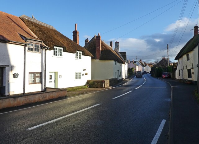
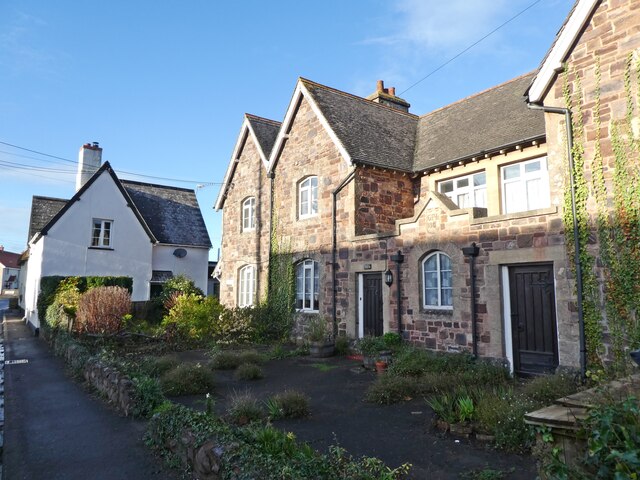
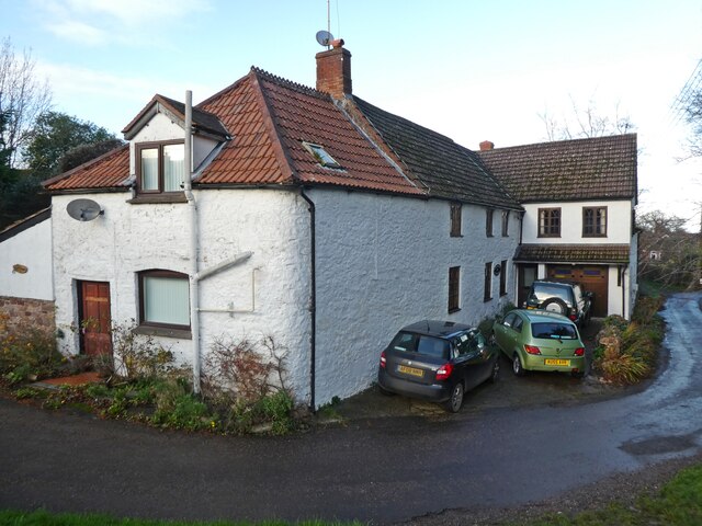
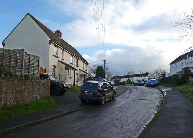
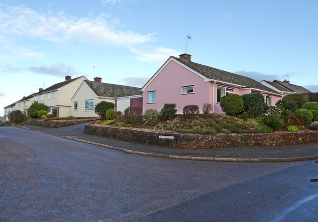
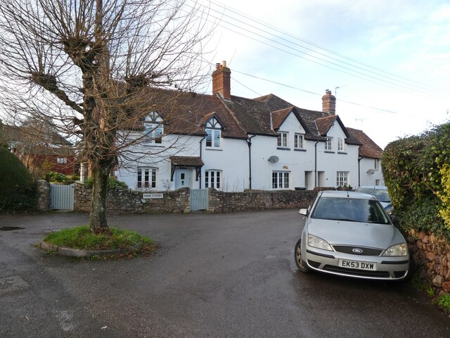
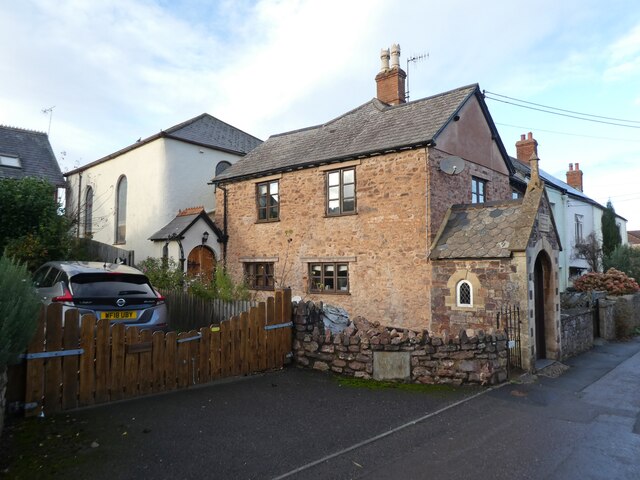
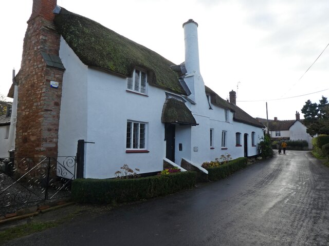
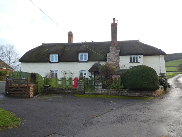
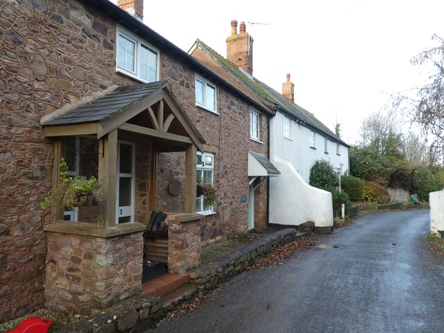
The village of Carhampton is the main settlement within the parish. It is a picturesque village with a rich history dating back to the Anglo-Saxon period. The village is known for its traditional thatched cottages and charming architecture, which adds to its overall appeal.
Carhampton is home to several notable landmarks and attractions. One of the most prominent is Carhampton Church, a Grade I listed building dating back to the 15th century. The church features a medieval tower and beautiful stained glass windows.
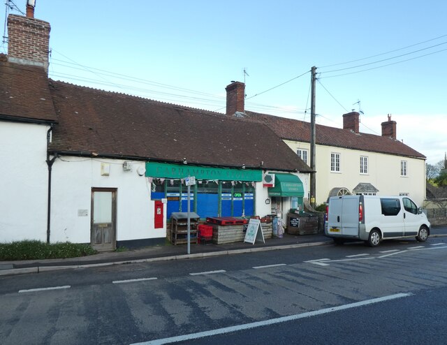
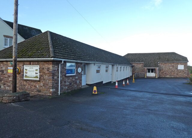
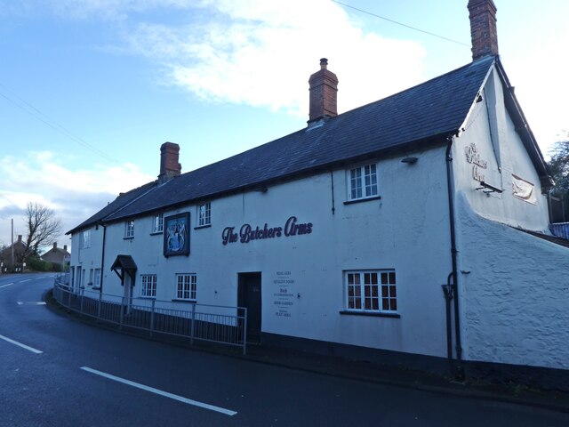
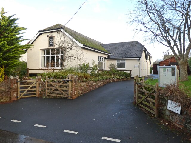
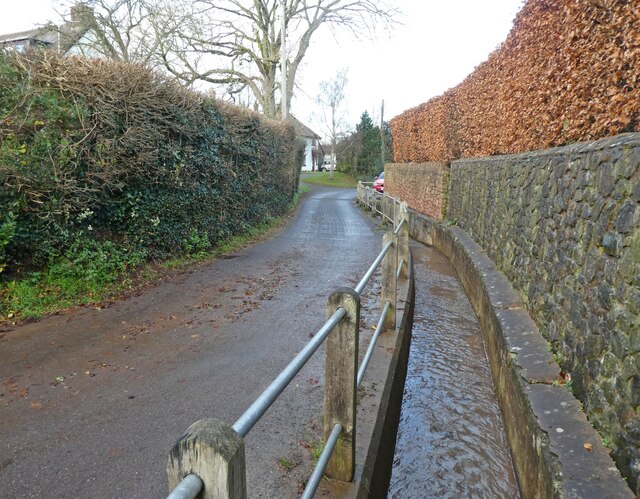
The village also has a range of amenities, including a primary school, a village hall, and a pub. The surrounding countryside offers opportunities for outdoor activities such as walking and cycling, with the nearby Exmoor National Park providing stunning landscapes to explore.
Carhampton hosts various events throughout the year, including a village fair and a popular Christmas market. These events bring the community together and attract visitors from near and far.
Overall, Carhampton is a charming and historic village in Somerset, offering a peaceful and picturesque setting for residents and visitors alike.
If you have any feedback on the listing, please let us know in the comments section below.
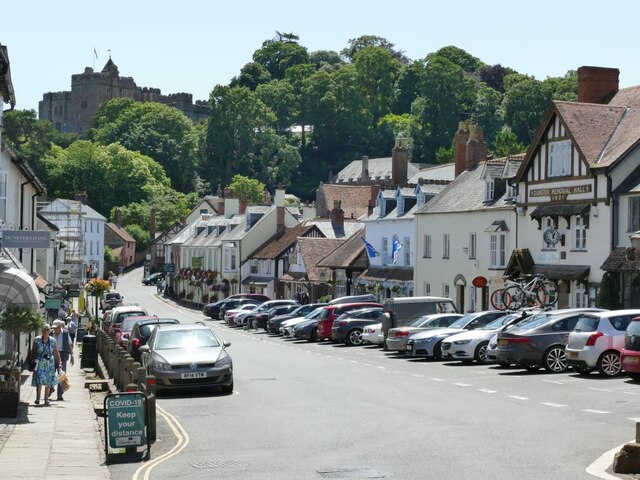
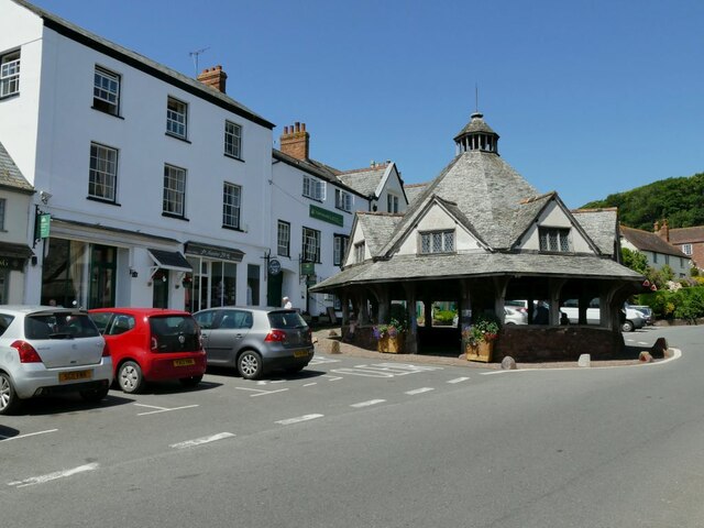
Carhampton Images
Images are sourced within 2km of 51.168107/-3.446015 or Grid Reference SS9941. Thanks to Geograph Open Source API. All images are credited.
Carhampton is located at Grid Ref: SS9941 (Lat: 51.168107, Lng: -3.446015)
Administrative County: Somerset
District: Somerset West and Taunton
Police Authority: Avon and Somerset
What 3 Words
///everybody.mouth.quits. Near Minehead, Somerset
Nearby Locations
Related Wikis
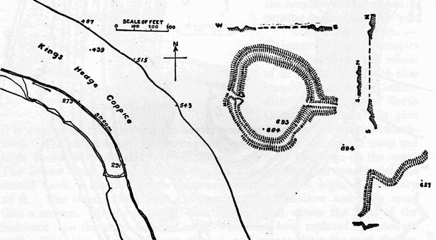
Bat's Castle
Bats Castle is an Iron Age hillfort at the top of a 213 metres (699 ft) high hill in the parish of Carhampton south south west of Dunster in Somerset,...

Long Wood Enclosure
Long Wood Enclosure is an enclosure which may have been a univallate Iron Age hill fort, in the West Somerset district of Somerset, England. The hill fort...

Black Ball Camp
Black Ball Camp is an Iron Age hillfort South West of Dunster, Somerset, England on the northern summit of Gallox Hill. It is a Scheduled Monument.It is...

Gallox Bridge, Dunster
The Gallox Bridge in Dunster, Somerset, England dates from the 15th century. It has been designated as a Grade I listed building and scheduled monument...

Dunster Working Watermill
Dunster Working Watermill (also known as Castle Mill) is a restored 18th century watermill, situated on the River Avill, close to Gallox Bridge, in the...

Dunster Castle
Dunster Castle is a former motte and bailey castle, now a country house, in the village of Dunster, Somerset, England. The castle lies on the top of a...

Carhampton
Carhampton is a village and civil parish in Somerset, England, 4 miles (6.4 km) to the east of Minehead. Carhampton civil parish stretches from the Bristol...

Dunster
Dunster is a village and civil parish in Somerset, England, within the north-eastern boundary of Exmoor National Park. It lies on the Bristol Channel 2...
Nearby Amenities
Located within 500m of 51.168107,-3.446015Have you been to Carhampton?
Leave your review of Carhampton below (or comments, questions and feedback).