Borough Copse
Wood, Forest in Devon Mid Devon
England
Borough Copse
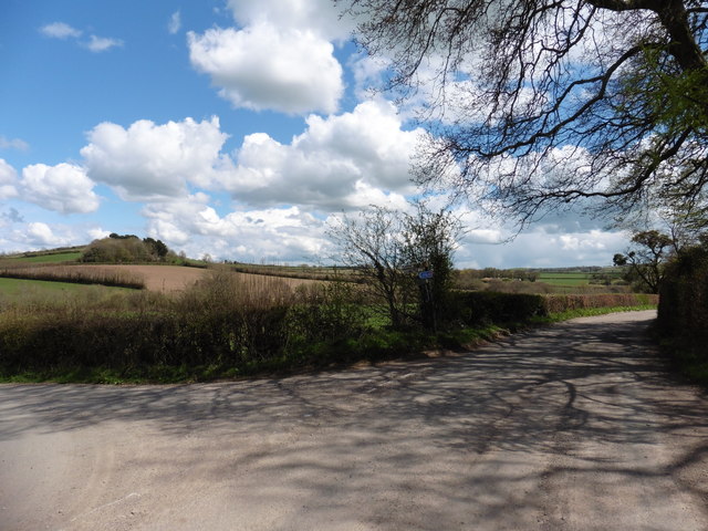
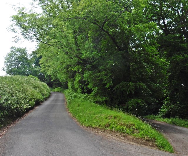
Borough Copse is a stunning woodland located in Devon, England. Stretching across an area of approximately 100 acres, this beautiful copse is nestled within the picturesque countryside, offering visitors a tranquil escape into nature.
The copse is predominantly made up of native broadleaf trees such as oak, beech, and ash, creating a diverse and vibrant ecosystem. The dense canopy provides ample shade during the summer months, making it a popular spot for locals and tourists alike to cool off and enjoy the peaceful ambiance.
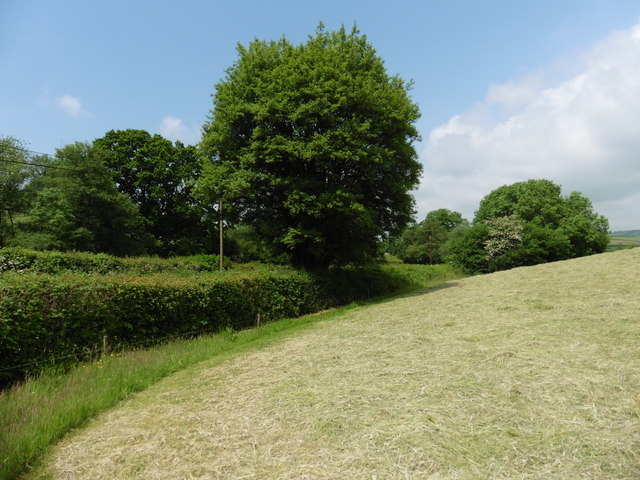
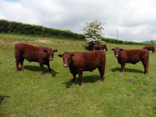
Borough Copse is home to a wide variety of flora and fauna, attracting nature enthusiasts and wildlife lovers. The forest floor boasts an array of wildflowers, including bluebells, primroses, and wood anemones, painting the landscape with bursts of color. It is not uncommon to spot woodland creatures such as deer, foxes, and badgers roaming freely in their natural habitat.
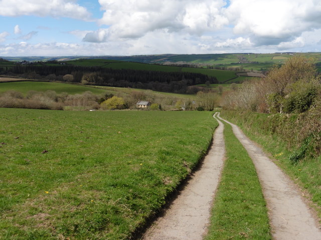
The copse offers several walking trails and footpaths, allowing visitors to explore the woodland at their own pace. These paths are well-maintained and clearly marked, ensuring a safe and enjoyable experience for all. Birdwatchers will delight in the copse's avian residents, with species such as woodpeckers, owls, and various songbirds frequently seen and heard.
Borough Copse is a haven for outdoor enthusiasts, with opportunities for activities such as picnicking, photography, and nature walks. Its serene atmosphere and breathtaking scenery make it a popular destination for those seeking solace in nature or simply wishing to immerse themselves in the beauty of the Devon countryside.
If you have any feedback on the listing, please let us know in the comments section below.
Borough Copse Images
Images are sourced within 2km of 50.994783/-3.4363536 or Grid Reference SS9922. Thanks to Geograph Open Source API. All images are credited.
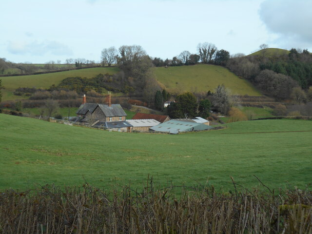
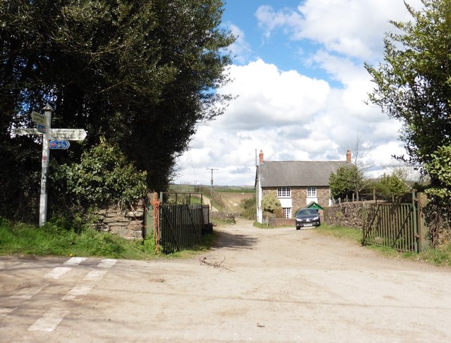
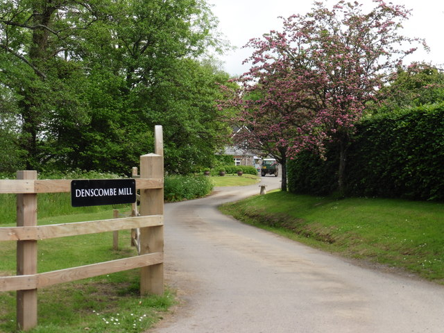
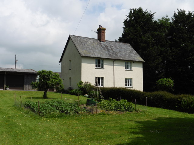
![Clayhanger: Denscombe Mill A public footpath runs through the property – according to the OS 1:25,000 map – to Hookhays Farm. The remains of the watermill have long been converted but the miller’s house survives. In 1792 the estate was described as a ‘well-accuftomed Water Grist Mill .. good dwelling houfe .. one acre of orchard .. fourteen acres of .. meadow and pafture ..’ [Source: Sherborne Mercury 21 May 1792]](https://s1.geograph.org.uk/photos/16/47/164769_c831a903.jpg)


Borough Copse is located at Grid Ref: SS9922 (Lat: 50.994783, Lng: -3.4363536)
Administrative County: Devon
District: Mid Devon
Police Authority: Devon and Cornwall
What 3 Words
///surface.incorrect.campfires. Near Sampford Peverell, Devon
Nearby Locations
Related Wikis

Shillingford, Devon
Shillingford is a village two miles (3 km) northeast of Bampton on the River Batherm in Mid Devon, England, close to the border with West Somerset. It...

Huntsham Court
Huntsham Court is a Grade II* listed country house in Huntsham, Devon, England. Built in 1868–70, it was designed in the Tudor Gothic style by Benjamin...
All Saints' Church, Huntsham
All Saints' Church, Huntsham is a Grade II* listed parish church in the Church of England. It is in the small village of Huntsham, about 5.8 miles (9.3...

Petton, Devon
Petton, also known as Petton Cross, is an English village in the civil parish of Bampton, the district of Mid Devon, and the county of Devon. It lies on...
Nearby Amenities
Located within 500m of 50.994783,-3.4363536Have you been to Borough Copse?
Leave your review of Borough Copse below (or comments, questions and feedback).