Ash Copse
Wood, Forest in Devon Mid Devon
England
Ash Copse
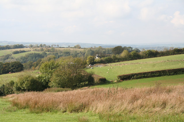
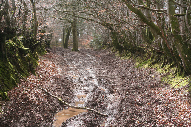
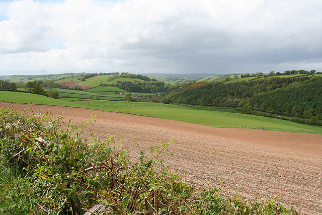
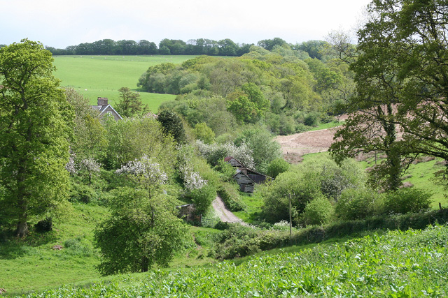
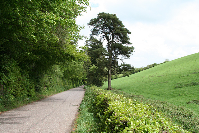
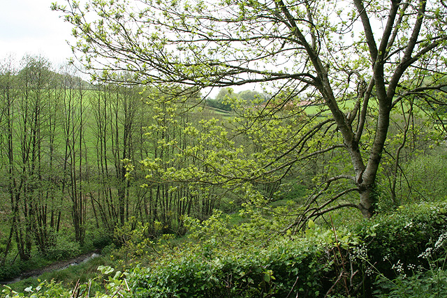
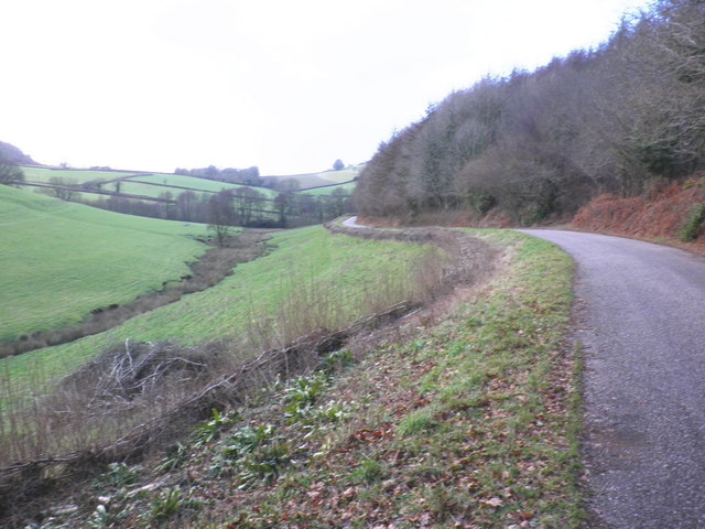
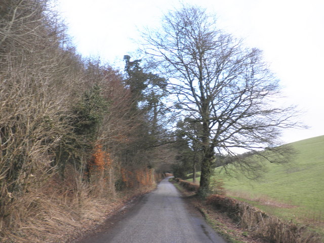
Ash Copse is a dense woodland located in Devon, England. Covering an area of approximately 50 hectares, it is known for its picturesque beauty and diverse range of flora and fauna. The copse is primarily composed of ash trees, which give it its name, but it also features a variety of other tree species such as oak, beech, and birch.
Walking through Ash Copse, visitors are greeted by a captivating display of colors throughout the seasons. In spring, the woodland floor is carpeted with bluebells and wildflowers, creating a vibrant and enchanting scene. During the summer months, the towering trees provide ample shade, making it a perfect spot to escape the heat and enjoy a peaceful stroll. In autumn, the copse transforms into a stunning tapestry of reds, oranges, and yellows as the leaves change, attracting photographers and nature lovers alike.
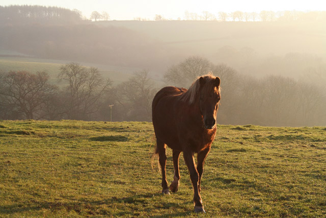
The diversity of wildlife in Ash Copse is also a major draw for visitors. The woodland is home to a range of bird species, including woodpeckers, owls, and various songbirds. Additionally, it provides a habitat for small mammals such as squirrels, foxes, and hedgehogs. The copse is also known for its rich insect life, with butterflies and bees flitting between the flowers in warmer months.
Ash Copse is a popular destination for nature enthusiasts, hikers, and photographers alike. With its tranquil atmosphere, stunning scenery, and abundance of wildlife, it offers a true escape into nature in the heart of Devon.
If you have any feedback on the listing, please let us know in the comments section below.
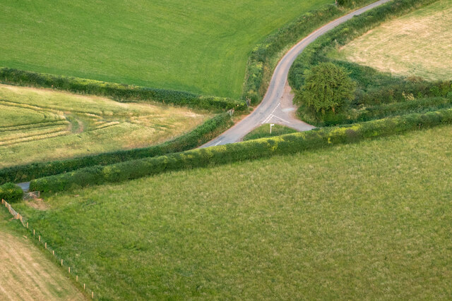
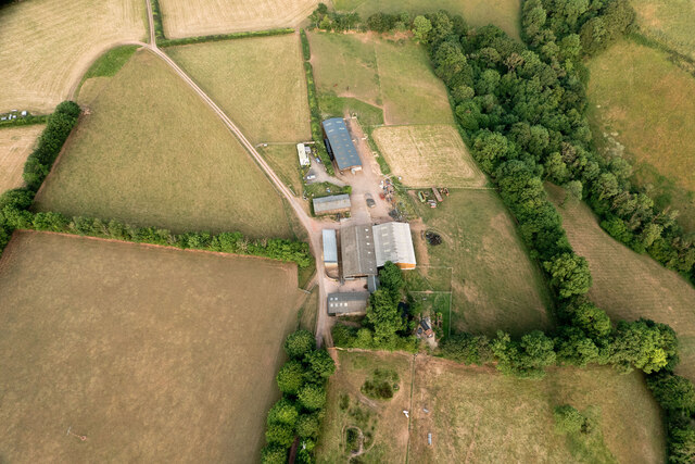
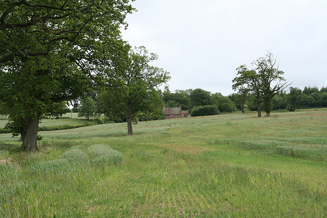
Ash Copse Images
Images are sourced within 2km of 50.973036/-3.4503532 or Grid Reference SS9820. Thanks to Geograph Open Source API. All images are credited.
Ash Copse is located at Grid Ref: SS9820 (Lat: 50.973036, Lng: -3.4503532)
Administrative County: Devon
District: Mid Devon
Police Authority: Devon and Cornwall
What 3 Words
///gent.specifies.responds. Near Sampford Peverell, Devon
Nearby Locations
Related Wikis

Huntsham Castle
Huntsham Castle, Devon, England is an Iron Age Hill fort enclosure near the village of Huntsham, it is located 260 m (850 ft) above sea level on the edge...
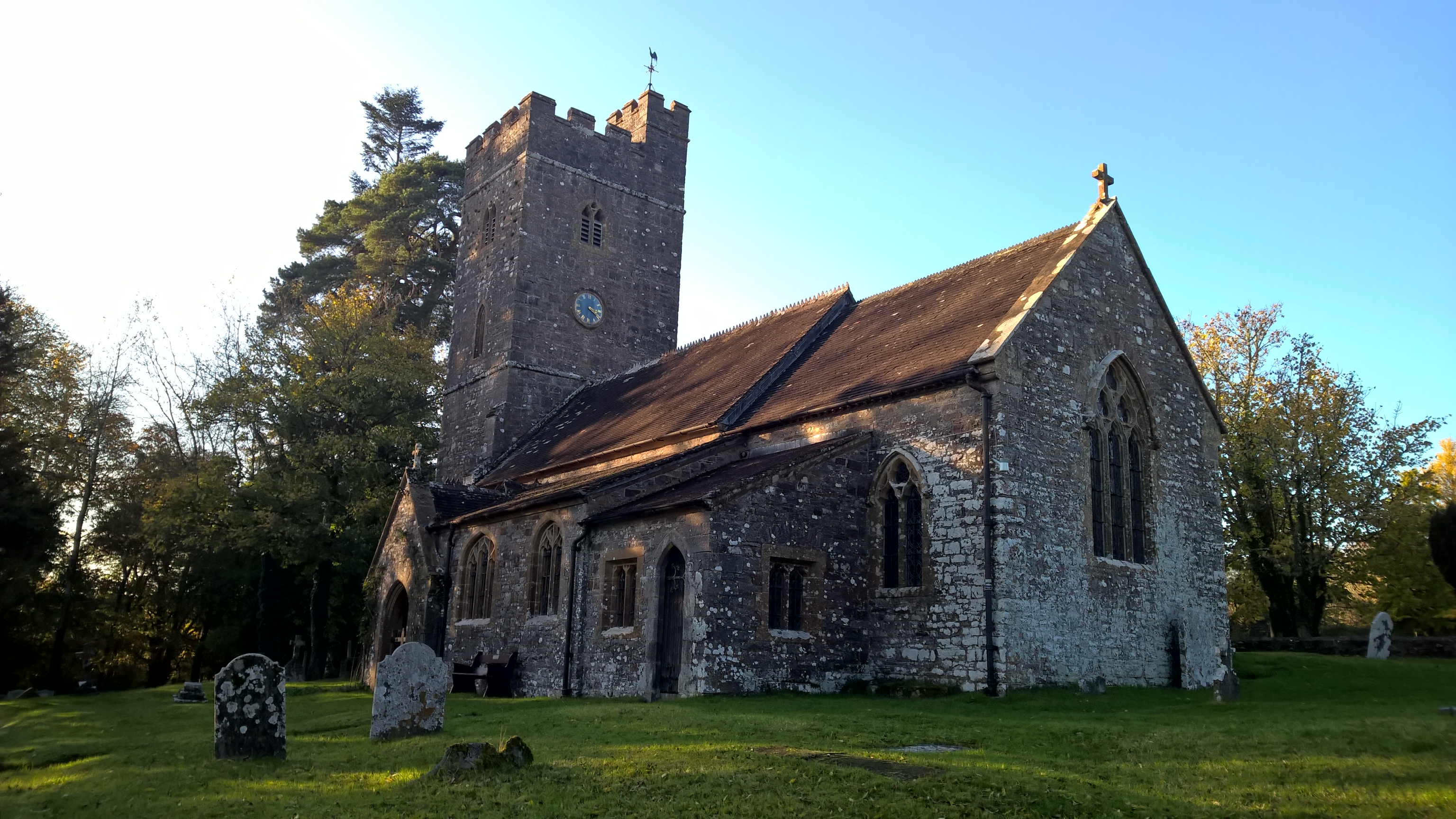
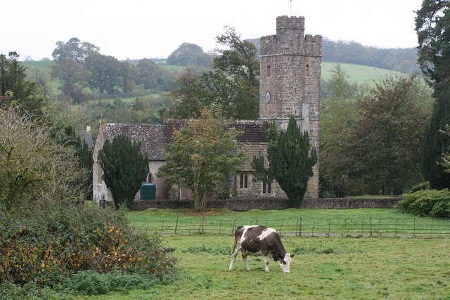
All Saints' Church, Huntsham
All Saints' Church, Huntsham is a Grade II* listed parish church in the Church of England. It is in the small village of Huntsham, about 5.8 miles (9.3...

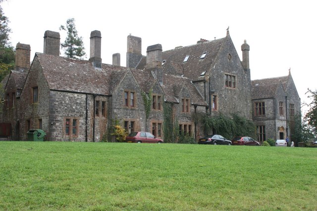
Huntsham Court
Huntsham Court is a Grade II* listed country house in Huntsham, Devon, England. Built in 1868–70, it was designed in the Tudor Gothic style by Benjamin...

Huntsham
Huntsham is a small village and civil parish, formerly a manor and ecclesiastical parish, in the Mid Devon district of Devon, England. The nearest town...

River Batherm
The River Batherm is a river which flows through Somerset and Devon in England. The river rises on high ground near the village of Sperry Barton, between...

Bampton, Devon
Bampton is a small town and parish in northeast Devon, England, on the River Batherm, a tributary of the River Exe. It is about 6 miles (9.7 km) north...

Bampton Castle, Devon
Bampton Castle in the parish of Bampton, Devon was the seat of the feudal barony of Bampton. It is located on a spur that overlooks the River Batherm....

Cove, Devon
Cove is a small village in the county of Devon, England. It is 4 miles north of Tiverton and 2 miles from Bampton in the Exe Valley some 450 feet above...
Nearby Amenities
Located within 500m of 50.973036,-3.4503532Have you been to Ash Copse?
Leave your review of Ash Copse below (or comments, questions and feedback).