Great Brake
Wood, Forest in Devon Mid Devon
England
Great Brake
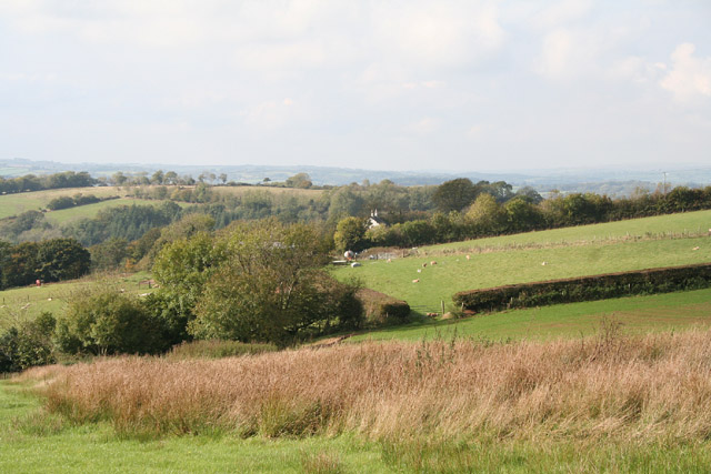
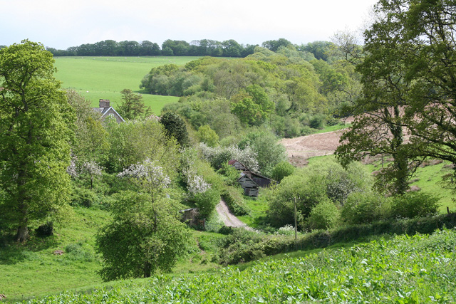
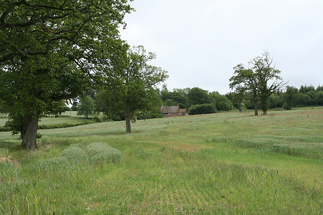
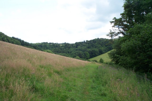
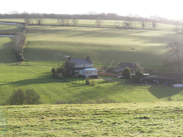
Great Brake is a charming woodland located in Devon, England. Situated in the heart of the county, this forest is a picturesque natural area that covers an approximate area of X square kilometers. The forest is predominantly composed of a diverse range of deciduous trees, including oak, beech, and maple, which create a stunning canopy of vibrant colors during the autumn months.
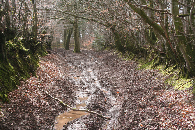
Great Brake is renowned for its tranquil atmosphere and is a popular destination for nature lovers, hikers, and photographers. The woodland boasts a network of well-maintained trails, allowing visitors to explore its beauty at their own pace. Along the trails, one can encounter various species of wildlife, such as deer, foxes, and a wide array of bird species, making it an ideal spot for birdwatching enthusiasts.
The forest also provides a habitat for several rare and protected species, including the lesser spotted woodpecker and the dormouse. This makes Great Brake an important area for conservation efforts and a designated Site of Special Scientific Interest (SSSI).
In addition to its natural beauty, Great Brake offers visitors a range of recreational activities. The forest features designated picnic areas, where families can enjoy a leisurely lunch amidst the stunning surroundings. Camping and barbeque facilities are also available for those seeking a more immersive experience in nature.
Overall, Great Brake is a captivating woodland that offers a peaceful retreat from the hustle and bustle of everyday life. With its diverse flora and fauna, well-maintained trails, and recreational amenities, it is a must-visit destination for nature enthusiasts and those seeking a rejuvenating outdoor experience.
If you have any feedback on the listing, please let us know in the comments section below.
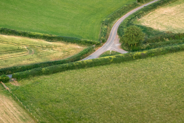
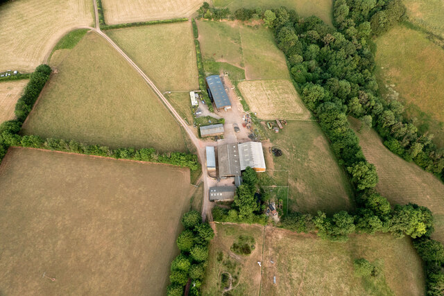
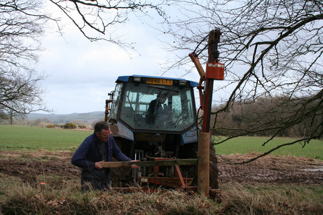
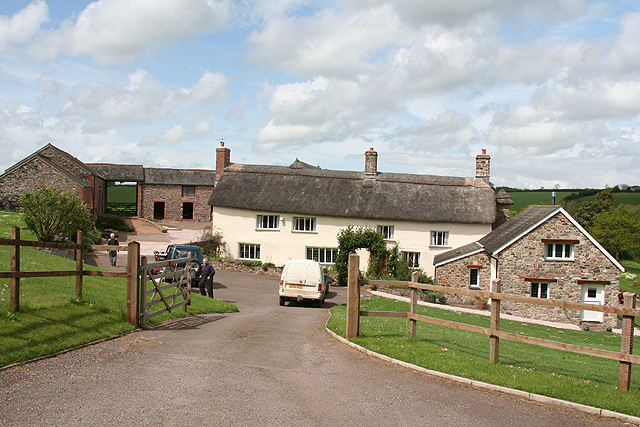
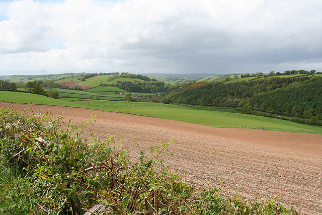
Great Brake Images
Images are sourced within 2km of 50.970642/-3.4534263 or Grid Reference SS9820. Thanks to Geograph Open Source API. All images are credited.


Great Brake is located at Grid Ref: SS9820 (Lat: 50.970642, Lng: -3.4534263)
Administrative County: Devon
District: Mid Devon
Police Authority: Devon and Cornwall
What 3 Words
///herds.warblers.stable. Near Sampford Peverell, Devon
Nearby Locations
Related Wikis

Huntsham Castle
Huntsham Castle, Devon, England is an Iron Age Hill fort enclosure near the village of Huntsham, it is located 260 m (850 ft) above sea level on the edge...
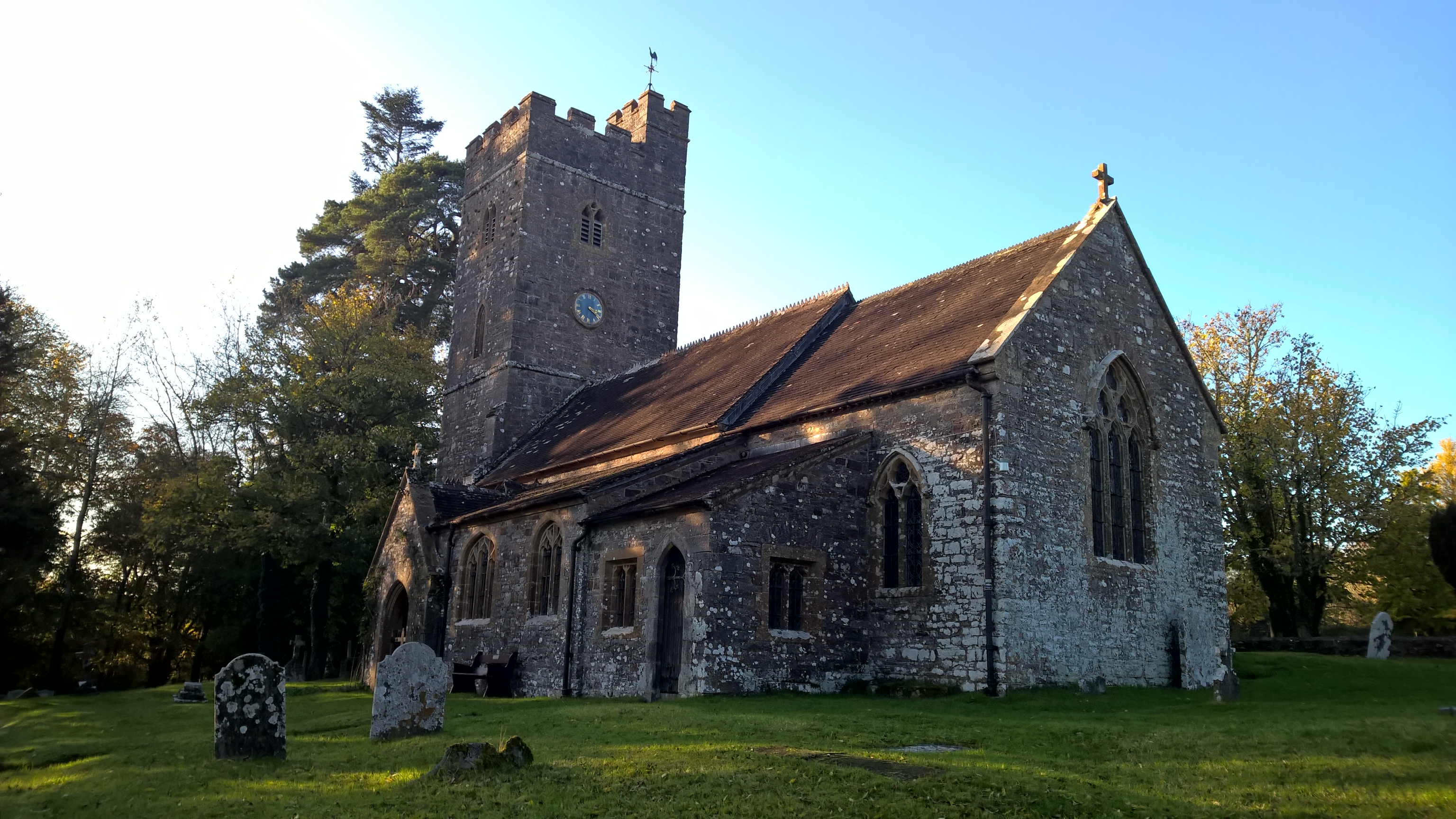
All Saints' Church, Huntsham
All Saints' Church, Huntsham is a Grade II* listed parish church in the Church of England. It is in the small village of Huntsham, about 5.8 miles (9.3...

Huntsham Court
Huntsham Court is a Grade II* listed country house in Huntsham, Devon, England. Built in 1868–70, it was designed in the Tudor Gothic style by Benjamin...

River Batherm
The River Batherm is a river which flows through Somerset and Devon in England. The river rises on high ground near the village of Sperry Barton, between...

Huntsham
Huntsham is a small village and civil parish, formerly a manor and ecclesiastical parish, in the Mid Devon district of Devon, England. The nearest town...

Cove, Devon
Cove is a small village in the county of Devon, England. It is 4 miles north of Tiverton and 2 miles from Bampton in the Exe Valley some 450 feet above...

Bampton, Devon
Bampton is a small town and parish in northeast Devon, England, on the River Batherm, a tributary of the River Exe. It is about 6 miles (9.7 km) north...

Bampton Castle, Devon
Bampton Castle in the parish of Bampton, Devon was the seat of the feudal barony of Bampton. It is located on a spur that overlooks the River Batherm....
Nearby Amenities
Located within 500m of 50.970642,-3.4534263Have you been to Great Brake?
Leave your review of Great Brake below (or comments, questions and feedback).