Mason's Moor
Wood, Forest in Devon Mid Devon
England
Mason's Moor
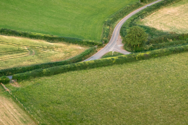
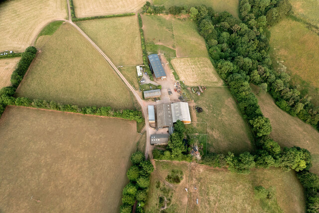
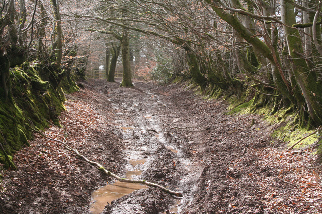
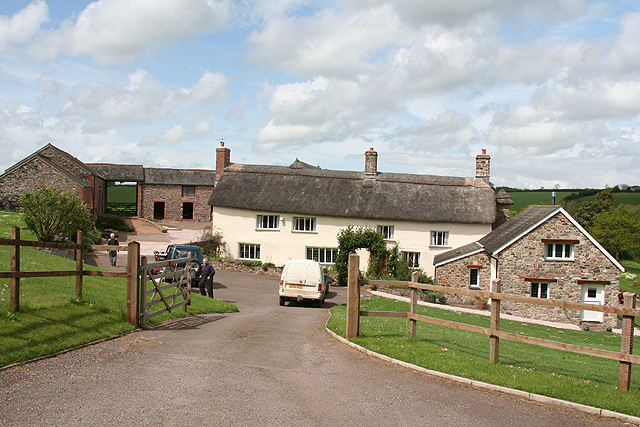
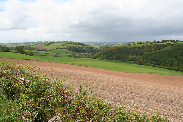
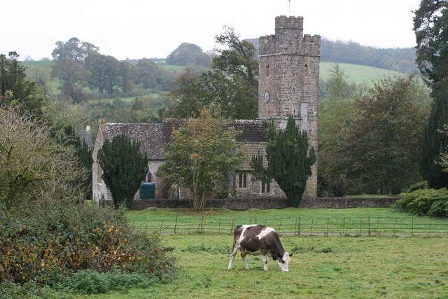
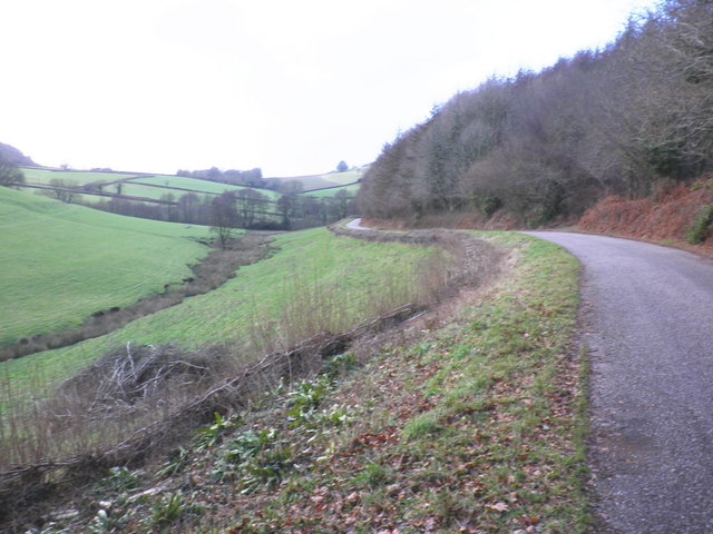
Mason's Moor is a picturesque woodland area located in Devon, England. It spans over an expansive area, covering several hundred acres, and is renowned for its natural beauty and diverse ecosystem. The moor is named after the Mason family, who were the original settlers in the area.
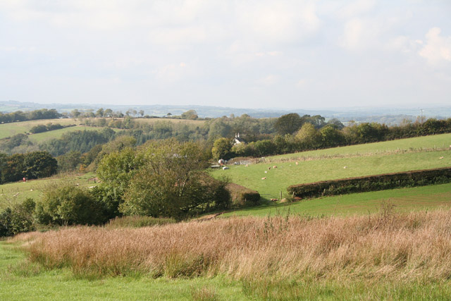
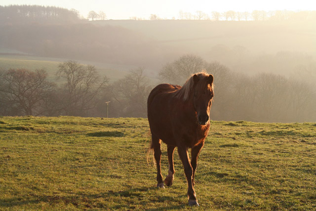
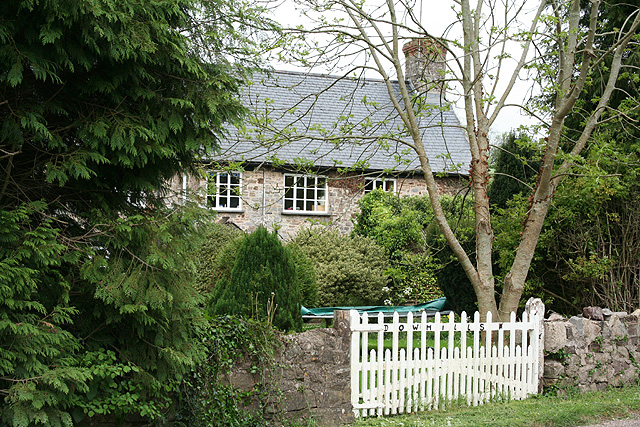
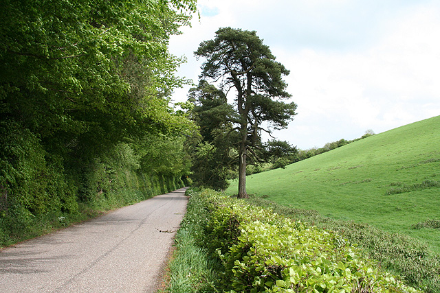
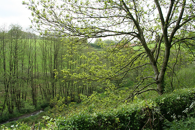
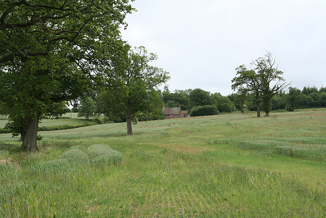
The woodland is predominantly composed of mature oak and beech trees, creating a dense and lush forest canopy. The floor of the forest is covered with a variety of flora, including wildflowers, ferns, and moss, adding to its enchanting atmosphere. The moor is also home to a plethora of wildlife, including deer, foxes, badgers, and various bird species.
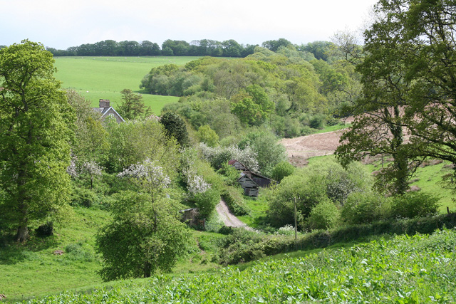
Mason's Moor offers an ideal environment for outdoor enthusiasts, with numerous walking trails and pathways that wind through the forest. Visitors can explore the woodland at their own pace, immersing themselves in the tranquility and serenity of nature. Along the trails, there are picnic areas and benches strategically placed, allowing visitors to take a break and enjoy the stunning views.
The moor is a popular destination for both locals and tourists alike, attracting nature lovers, hikers, and photographers. It provides a peaceful retreat from the hustle and bustle of city life, offering a chance to reconnect with nature and enjoy the calming sounds of the forest.
Overall, Mason's Moor in Devon is a captivating woodland that showcases the beauty of the natural world. With its diverse flora and fauna, it offers a haven for those seeking solace in nature's embrace.
If you have any feedback on the listing, please let us know in the comments section below.
Mason's Moor Images
Images are sourced within 2km of 50.977332/-3.4410856 or Grid Reference SS9820. Thanks to Geograph Open Source API. All images are credited.
Mason's Moor is located at Grid Ref: SS9820 (Lat: 50.977332, Lng: -3.4410856)
Administrative County: Devon
District: Mid Devon
Police Authority: Devon and Cornwall
What 3 Words
///mountain.wimp.provide. Near Sampford Peverell, Devon
Nearby Locations
Related Wikis

Huntsham Castle
Huntsham Castle, Devon, England is an Iron Age Hill fort enclosure near the village of Huntsham, it is located 260 m (850 ft) above sea level on the edge...
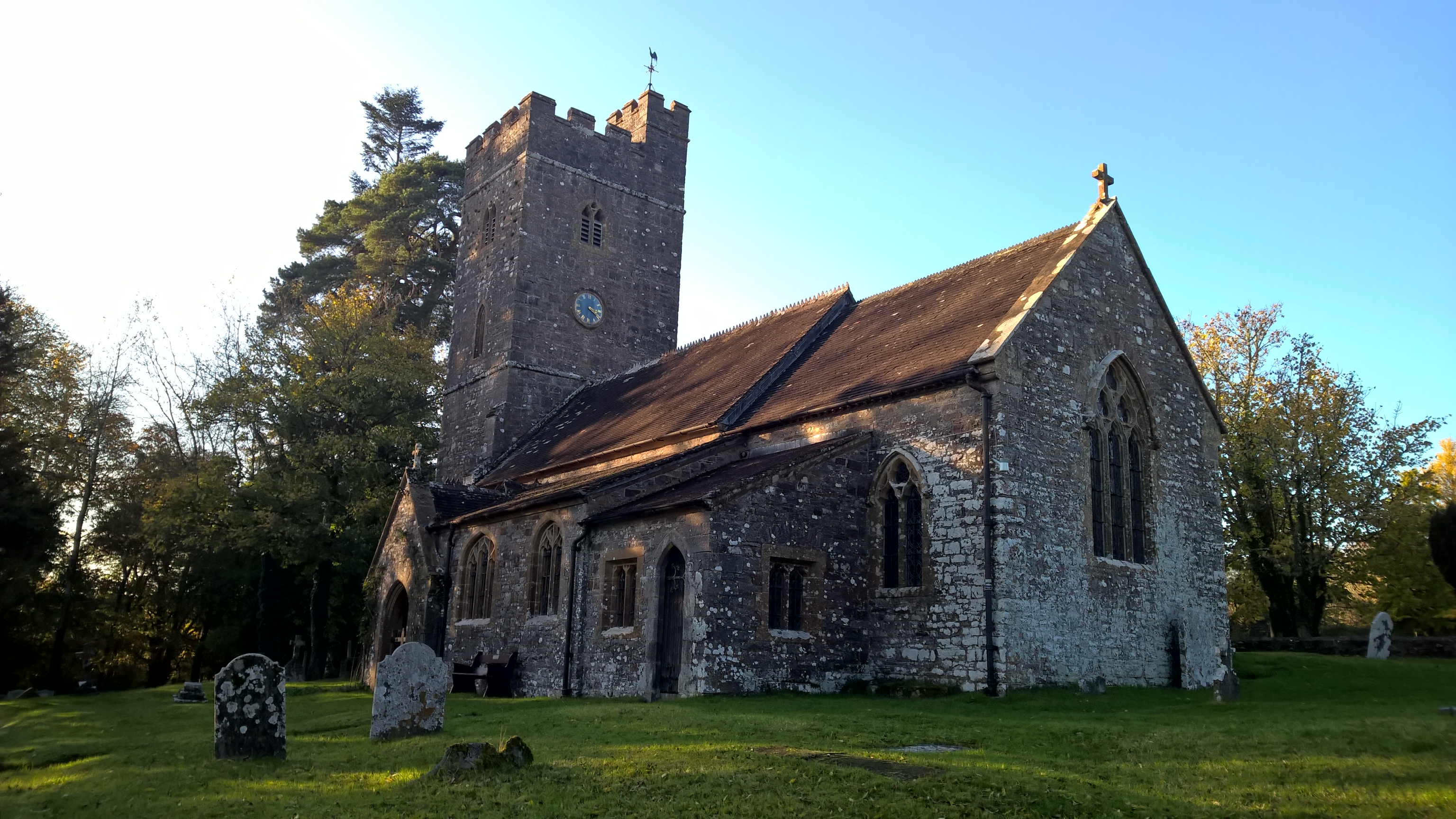
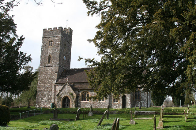
All Saints' Church, Huntsham
All Saints' Church, Huntsham is a Grade II* listed parish church in the Church of England. It is in the small village of Huntsham, about 5.8 miles (9.3...

Huntsham Court
Huntsham Court is a Grade II* listed country house in Huntsham, Devon, England. Built in 1868–70, it was designed in the Tudor Gothic style by Benjamin...

Huntsham
Huntsham is a small village and civil parish, formerly a manor and ecclesiastical parish, in the Mid Devon district of Devon, England. The nearest town...

River Batherm
The River Batherm is a river which flows through Somerset and Devon in England. The river rises on high ground near the village of Sperry Barton, between...

Shillingford, Devon
Shillingford is a village two miles (3 km) northeast of Bampton on the River Batherm in Mid Devon, England, close to the border with West Somerset. It...

Bampton, Devon
Bampton is a small town and parish in northeast Devon, England, on the River Batherm, a tributary of the River Exe. It is about 6 miles (9.7 km) north...

Bampton Castle, Devon
Bampton Castle in the parish of Bampton, Devon was the seat of the feudal barony of Bampton. It is located on a spur that overlooks the River Batherm....
Nearby Amenities
Located within 500m of 50.977332,-3.4410856Have you been to Mason's Moor?
Leave your review of Mason's Moor below (or comments, questions and feedback).