Warrenshill Copse

Wood, Forest in Devon Mid Devon

England

Warrenshill Copse

Bampton : Grassy Field A field being used as a car park for the Bampton Fair.
Bampton : Grassy Field Credit: Lewis Clarke

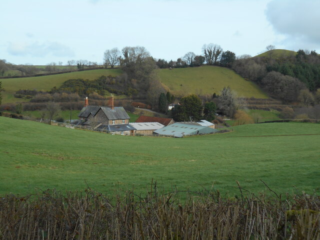
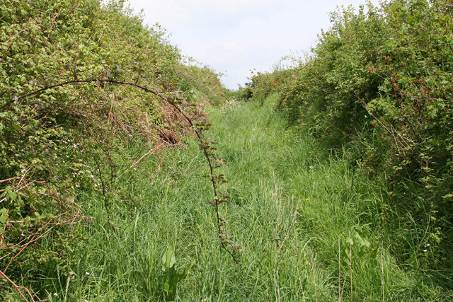
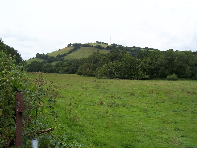
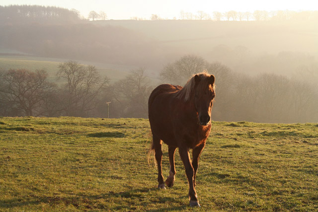
Warrenshill Copse is a picturesque woodland located in Devon, England. Situated in the heart of the county, it covers an area of approximately 100 acres and is renowned for its natural beauty and diverse ecosystem. The copse is predominantly made up of deciduous trees, including oak, beech, and ash, which create a vibrant and ever-changing canopy throughout the year.

The woodland is a haven for wildlife, providing a home to a wide range of species. Bird enthusiasts will delight in the copse's resident populations of woodpeckers, owls, and various songbirds. Additionally, deer, badgers, and foxes can often be spotted roaming the forest floor.

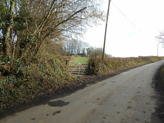
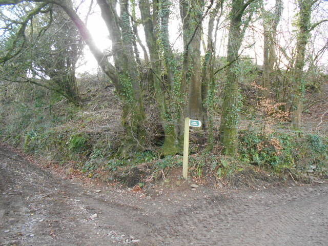
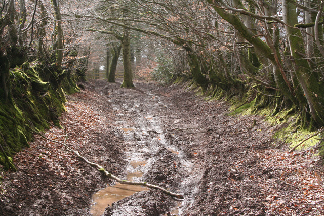
Warrenshill Copse offers visitors a tranquil escape from the bustling city life. Numerous walking trails wind through the wood, inviting nature lovers to explore its enchanting nooks and crannies. The copse also boasts a small stream running through it, adding to its idyllic charm.

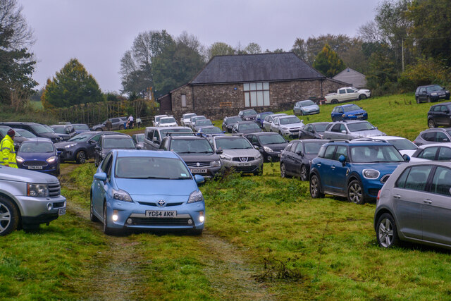
The woodland is a popular destination for outdoor activities such as hiking, birdwatching, and photography. It offers a peaceful retreat for those seeking solitude and a connection with nature. The copse is easily accessible, with ample parking available nearby, and is open to the public throughout the year.

Warrenshill Copse is not only a natural treasure but also a testament to the importance of preserving and protecting our woodlands. Its beauty and abundance of wildlife make it a valuable asset to the local community and an attraction for visitors from far and wide.

If you have any feedback on the listing, please let us know in the comments section below.

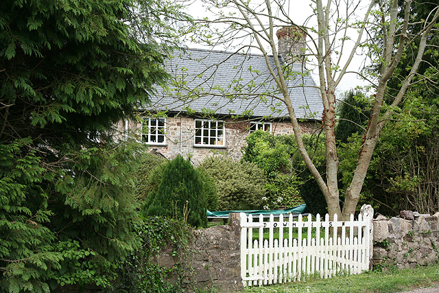
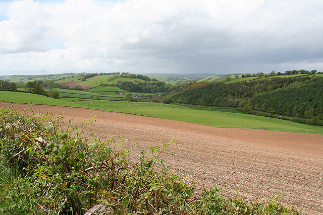
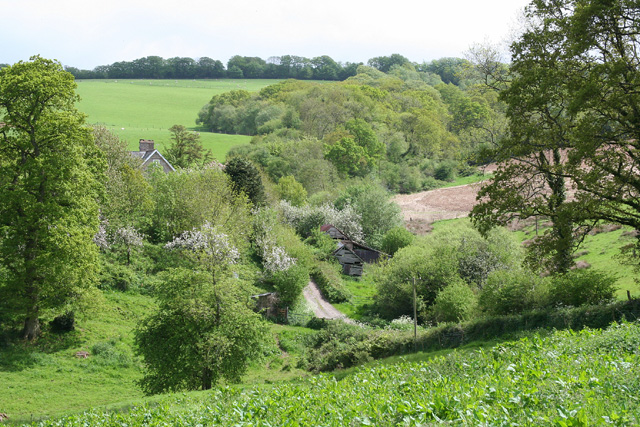
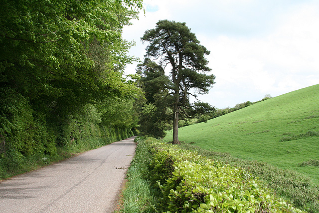
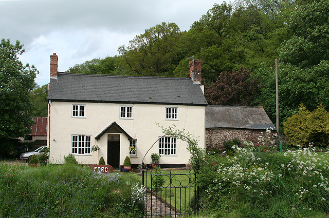
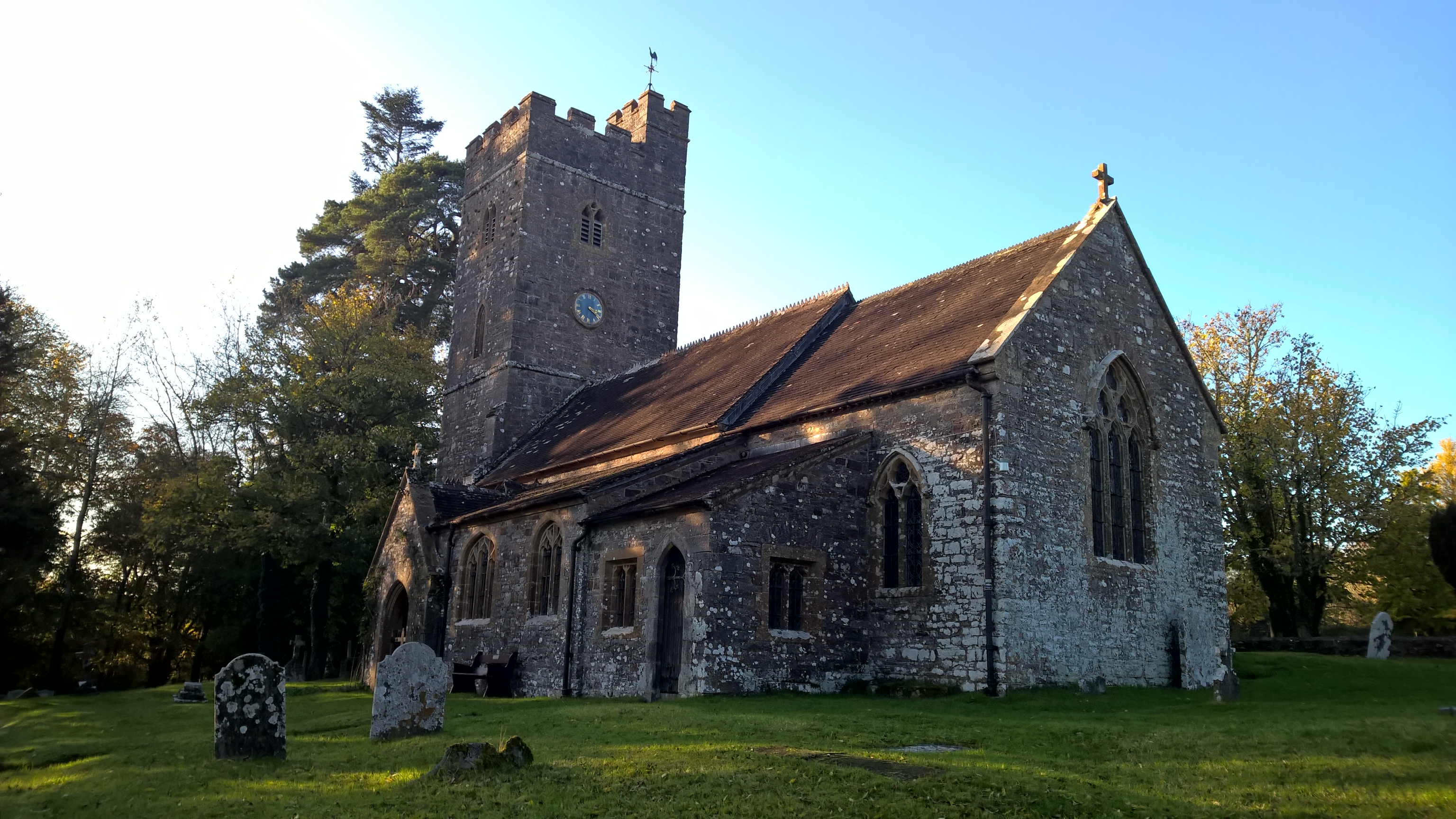
Warrenshill Copse Images

Images are sourced within 2km of 50.990634/-3.4511298 or Grid Reference SS9822. Thanks to Geograph Open Source API. All images are credited.

Bampton : Grassy Field A field being used as a car park for the Bampton Fair.
Bampton : Grassy Field
A field being used as a car park for the Bampton Fair.
Footpath near Kersdown Barn Cutting the corner off a field to join a nearby trackway.
Footpath near Kersdown Barn
Cutting the corner off a field to join a nearby trackway.
Trackway junction near Pipshayne
Pipshayne farm Viewed from a trackway in the South West.
Pipshayne farm
Viewed from a trackway in the South West.
Bampton: old track between fields Between Zeal Farm and North Bulcombe. Looking north east
Bampton: old track between fields
Between Zeal Farm and North Bulcombe. Looking north east
River Batherm Valley The River Batherm flows beneath the trees in the middle distance
River Batherm Valley
The River Batherm flows beneath the trees in the middle distance
Shillingford The village of Shillingford is situated on the B3227
Shillingford
The village of Shillingford is situated on the B3227
Bampton: Bampton Charter Fair The poultry and pony sales are held by the old road to Tiverton via Bampton Down. Bampton Fair has been held since 1258. In the 1950s the October fair was renowned for the sale of sheep and cattle, and particularly for Exmoor ponies, but in 2005 its original function has largely vanished – no sheep nor cattle for sale and precious few ponies, and these tending to be of the ‘Thelwell’ type
Bampton: Bampton Charter Fair
The poultry and pony sales are held by the old road to Tiverton via Bampton Down. Bampton Fair has been held since 1258. In the 1950s the October fair was renowned for the sale of sheep and cattle, and particularly for Exmoor ponies, but in 2005 its original function has largely vanished – no sheep nor cattle for sale and precious few ponies, and these tending to be of the ‘Thelwell’ type
Bampton: above South Hayne Farm Part of a large flock of sheep strip-cropping a field of kale on a December afternoon
Bampton: above South Hayne Farm
Part of a large flock of sheep strip-cropping a field of kale on a December afternoon
Bampton: near Dowhills Farm Horse in December afternoon light with Bampton Down beyond
Bampton: near Dowhills Farm
Horse in December afternoon light with Bampton Down beyond
Huntsham: possible course of Roman road On Bampton Down. The road may have linked the Roman forts at Cudmore and Bolham. Looking south west. The formation, investigated by local archaeologists, has recently been disturbed and churned up by vehicles
Huntsham: possible course of Roman road
On Bampton Down. The road may have linked the Roman forts at Cudmore and Bolham. Looking south west. The formation, investigated by local archaeologists, has recently been disturbed and churned up by vehicles
Tiverton: fencing operation near Bampton Down Looking east towards Mason’s Moor
Tiverton: fencing operation near Bampton Down
Looking east towards Mason’s Moor
Bampton: Giffords Farmhouse and barns; looking north-north-west
Bampton: Giffords
Farmhouse and barns; looking north-north-west
Bampton: Dowhills Farmhouse of a farm which straddles a road junction to the right of this image. Looking north east
Bampton: Dowhills
Farmhouse of a farm which straddles a road junction to the right of this image. Looking north east
Bampton: near Whittenhays Looking west-north-west down a valley towards Pipshayne Farm
Bampton: near Whittenhays
Looking west-north-west down a valley towards Pipshayne Farm
Bampton: approaching Cleaves In a side valley below Bampton Down; looking south east
Bampton: approaching Cleaves
In a side valley below Bampton Down; looking south east
Bampton: road between Ford and Huntsham Looking east-south-east
Bampton: road between Ford and Huntsham
Looking east-south-east
Bampton: Ford A farm or smallholding with stables near Ford Mill. It stands by the road from Huntsham to Hukeley Bridge on the Bampton - Wiveliscombe road. Looking north
Bampton: Ford
A farm or smallholding with stables near Ford Mill. It stands by the road from Huntsham to Hukeley Bridge on the Bampton - Wiveliscombe road. Looking north
Show me another place!

Warrenshill Copse is located at Grid Ref: SS9822 (Lat: 50.990634, Lng: -3.4511298)

Administrative County: Devon

District: Mid Devon

Police Authority: Devon and Cornwall

What 3 Words

///migrants.consoles.poppy. Near Dulverton, Somerset

Related Wikis

Shillingford, Devon

Shillingford is a village two miles (3 km) northeast of Bampton on the River Batherm in Mid Devon, England, close to the border with West Somerset. It...

Bampton Castle, Devon

Bampton Castle in the parish of Bampton, Devon was the seat of the feudal barony of Bampton. It is located on a spur that overlooks the River Batherm....

Bampton, Devon

Bampton is a small town and parish in northeast Devon, England, on the River Batherm, a tributary of the River Exe. It is about 6 miles (9.7 km) north...

Huntsham Court

Huntsham Court is a Grade II* listed country house in Huntsham, Devon, England. Built in 1868–70, it was designed in the Tudor Gothic style by Benjamin...

All Saints' Church, Huntsham

All Saints' Church, Huntsham is a Grade II* listed parish church in the Church of England. It is in the small village of Huntsham, about 5.8 miles (9.3...

Huntsham Castle

Huntsham Castle, Devon, England is an Iron Age Hill fort enclosure near the village of Huntsham, it is located 260 m (850 ft) above sea level on the edge...

Huntsham

Huntsham is a small village and civil parish, formerly a manor and ecclesiastical parish, in the Mid Devon district of Devon, England. The nearest town...

River Batherm

The River Batherm is a river which flows through Somerset and Devon in England. The river rises on high ground near the village of Sperry Barton, between...

Nearby Amenities

Located within 500m of 50.990634,-3.4511298
The data included in this document is from www.openstreetmap.org. The data is made available under ODbL.

Have you been to Warrenshill Copse?

Leave your review of Warrenshill Copse below (or comments, questions and feedback).