Road Copse
Wood, Forest in Devon Mid Devon
England
Road Copse

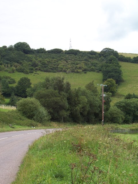
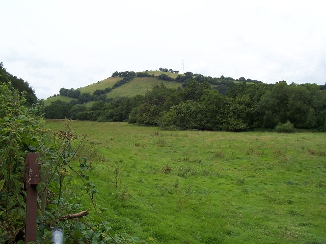
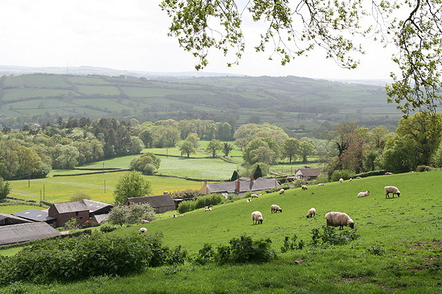
Road Copse is a picturesque woodland located in the county of Devon, England. Situated near the village of Road, this forested area covers a sprawling expanse of approximately 200 acres. It is characterized by its diverse range of tree species, including oak, beech, birch, and pine, which create a dense and enchanting canopy.
The woodland is rich in biodiversity, providing a habitat for numerous plant and animal species. The forest floor is adorned with an array of wildflowers, such as bluebells and primroses, adding bursts of color to the landscape during springtime. In addition, the dense vegetation offers a sanctuary for various bird species, including woodpeckers and owls, as well as mammals like foxes, rabbits, and deer.
Road Copse features a network of well-maintained footpaths, allowing visitors to explore the woodland at their leisure. These paths wind through the tranquil forest, providing opportunities for leisurely walks, jogging, or simply enjoying the serenity of nature. Along the way, visitors may stumble upon hidden clearings or small streams, adding to the charm of the woodland experience.
The forest is a popular destination for nature enthusiasts, hikers, and families looking to escape the hustle and bustle of everyday life. It offers a peaceful retreat, where one can immerse themselves in the beauty of the natural world. Whether it is a leisurely stroll, a picnic under the shade of a tree, or birdwatching, Road Copse provides a tranquil and rejuvenating experience for all who visit.
If you have any feedback on the listing, please let us know in the comments section below.
Road Copse Images
Images are sourced within 2km of 51.016602/-3.4644294 or Grid Reference SS9725. Thanks to Geograph Open Source API. All images are credited.


Road Copse is located at Grid Ref: SS9725 (Lat: 51.016602, Lng: -3.4644294)
Administrative County: Devon
District: Mid Devon
Police Authority: Devon and Cornwall
What 3 Words
///diver.bikers.remedy. Near Dulverton, Somerset
Nearby Locations
Related Wikis

Shillingford, Devon
Shillingford is a village two miles (3 km) northeast of Bampton on the River Batherm in Mid Devon, England, close to the border with West Somerset. It...

Morebath
Morebath is an upland village in the county of Devon, England. It is mostly given over to sheep-farming, and situated on the southern edge of Exmoor. An...

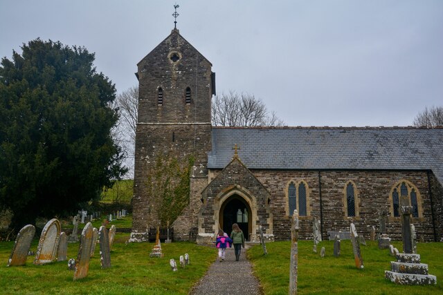
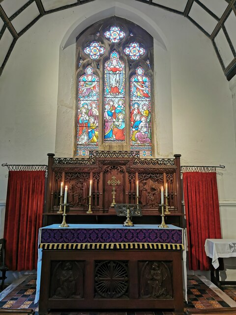
St George's Church, Morebath
St George's Church, Morebath is a Grade II* listed parish church in the Church of England Diocese of Exeter in Morebath, Devon. It is part of the Hukeley...

Morebath Junction railway station
Morebath Junction Halt was a railway halt near the junction of the Devon and Somerset Railway and Exe Valley Railway in Devon, South West England. �...

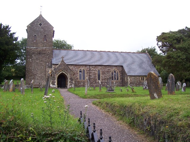
Church of St John, Skilgate
The Anglican Church of St John in Skilgate, Somerset, England was built in the 14th century. It is a Grade II* listed building. == History == The church...
Skilgate
Skilgate is a village and civil parish 5 miles (8 km) east of Dulverton and 8 miles (13 km) west of Wiveliscombe in the Somerset West and Taunton district...

Bampton Castle, Devon
Bampton Castle in the parish of Bampton, Devon was the seat of the feudal barony of Bampton. It is located on a spur that overlooks the River Batherm....

Petton, Devon
Petton, also known as Petton Cross, is an English village in the civil parish of Bampton, the district of Mid Devon, and the county of Devon. It lies on...
Nearby Amenities
Located within 500m of 51.016602,-3.4644294Have you been to Road Copse?
Leave your review of Road Copse below (or comments, questions and feedback).