Half Copse

Wood, Forest in Devon Mid Devon

England

Half Copse

Morebath : Timewell Hill, B3190 Looking along the road where cows have caused some traffic issues.
Morebath : Timewell Hill, B3190 Credit: Lewis Clarke

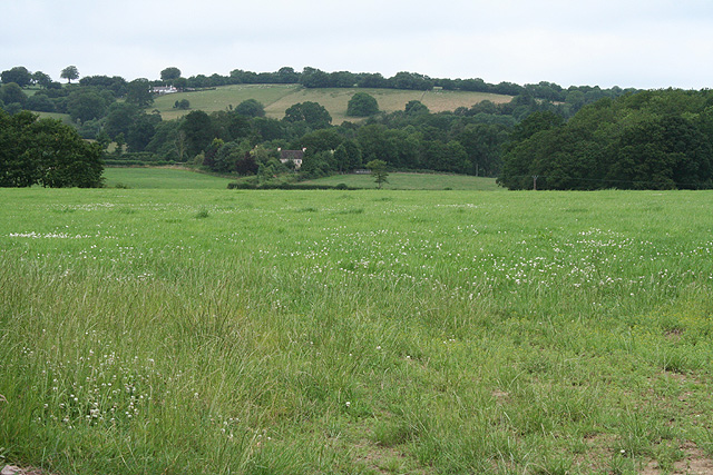
Half Copse is a small woodland located in the county of Devon, England. Situated in the southwestern part of the country, this forested area covers an approximate area of 100 acres. The copse is named "Half Copse" due to its size being roughly half the size of the nearby larger woodland, Full Copse.

The woodland consists mainly of deciduous trees, with a diverse range of species such as oak, beech, and ash. These trees create a dense canopy, providing shade and shelter to the various wildlife that inhabit the area. The forest floor is covered with a thick layer of leaf litter, creating a rich and fertile environment for the growth of wildflowers and undergrowth plants.

Half Copse is also known for its abundance of wildlife. The woodland provides a habitat for a variety of animals, including deer, foxes, badgers, and a wide array of bird species. The tranquil atmosphere and natural beauty of the copse make it a popular spot for birdwatching and nature enthusiasts.

The woodland is accessible to the public via well-maintained footpaths that meander through the trees, providing visitors with the opportunity to explore and appreciate the natural surroundings. The copse is well-preserved, with conservation efforts in place to protect the delicate ecosystem and maintain its natural beauty.

Overall, Half Copse is a picturesque woodland in Devon, offering visitors a peaceful retreat in nature, abundant wildlife, and opportunities for outdoor activities such as walking, birdwatching, and photography.

If you have any feedback on the listing, please let us know in the comments section below.

Half Copse Images

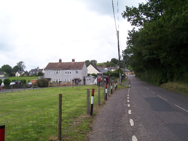
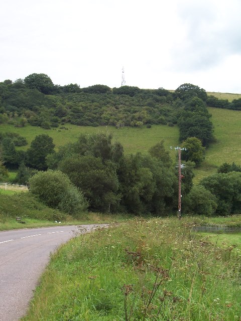
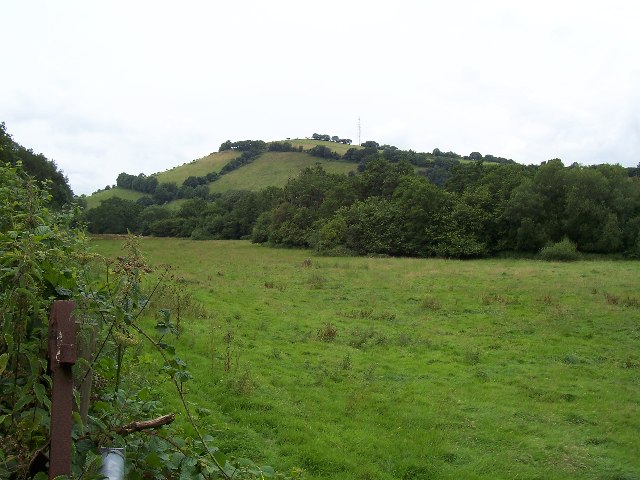
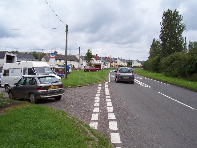
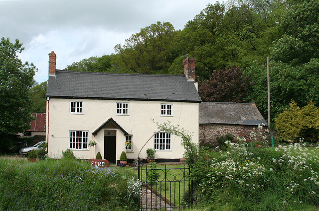
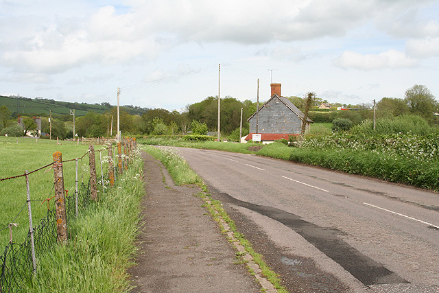
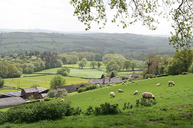
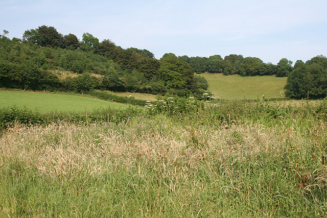
Images are sourced within 2km of 51.008977/-3.4643318 or Grid Reference SS9724. Thanks to Geograph Open Source API. All images are credited.

Morebath : Timewell Hill, B3190 Looking along the road where cows have caused some traffic issues.
Morebath : Timewell Hill, B3190
Looking along the road where cows have caused some traffic issues.
Morebath : Timewell Hill, B3190 Looking along a road with cows in it.
Morebath : Timewell Hill, B3190
Looking along a road with cows in it.
Morebath Morebath. The greenspace to the left is the site of (and soon for) the village hall
Morebath
Morebath. The greenspace to the left is the site of (and soon for) the village hall
Claypits Claypits is a widespread collection of dwellings near Morebath.
Claypits
Claypits is a widespread collection of dwellings near Morebath.
Barton Hills Barton Hills seen over the River Batherm and its valley
Barton Hills
Barton Hills seen over the River Batherm and its valley
Hukeley Knap Hukeley Knap dominates this square
Hukeley Knap
Hukeley Knap dominates this square
River Batherm Valley The River Batherm flows beneath the trees in the middle distance
River Batherm Valley
The River Batherm flows beneath the trees in the middle distance
Shillingford The village of Shillingford is situated on the B3227
Shillingford
The village of Shillingford is situated on the B3227
Morebath Station (disused) The old stone buildings of Morebath station are visible behind the hedge at the top of the field. Morebath is over 1 mile away.
Morebath Station (disused)
The old stone buildings of Morebath station are visible behind the hedge at the top of the field. Morebath is over 1 mile away.
Court Farm Some of the buildings of Court Farm are just visible at the end of this track
Court Farm
Some of the buildings of Court Farm are just visible at the end of this track
Bampton: Ford A farm or smallholding with stables near Ford Mill. It stands by the road from Huntsham to Hukeley Bridge on the Bampton - Wiveliscombe road. Looking north
Bampton: Ford
A farm or smallholding with stables near Ford Mill. It stands by the road from Huntsham to Hukeley Bridge on the Bampton - Wiveliscombe road. Looking north
Bampton: near Doddiscombe Looking west to Diptford Wood
Bampton: near Doddiscombe
Looking west to Diptford Wood
Bampton: east from Shillingford Looking north over the Batherm valley. Hayne Barton stands centre left by a pylon and below the pylon to the right is Way Farm. Up on the hill, left, is Quartley Farm
Bampton: east from Shillingford
Looking north over the Batherm valley. Hayne Barton stands centre left by a pylon and below the pylon to the right is Way Farm. Up on the hill, left, is Quartley Farm
Bampton: near Way Farm Looking north east on the B3227 road to Wiveliscombe
Bampton: near Way Farm
Looking north east on the B3227 road to Wiveliscombe
Bampton: above Quartley Farm Looking south west. The town of Bampton is beyond the first hill on the left
Bampton: above Quartley Farm
Looking south west. The town of Bampton is beyond the first hill on the left
Morebath: Timewell House Looking north on the Bampton-Watchet road
Morebath: Timewell House
Looking north on the Bampton-Watchet road
Bampton: at Chiltern Cross Looking east-south-east
Bampton: at Chiltern Cross
Looking east-south-east
Morebath: near Keens Barn Looking north-north-west
Morebath: near Keens Barn
Looking north-north-west
Show me another place!

Half Copse is located at Grid Ref: SS9724 (Lat: 51.008977, Lng: -3.4643318)

Administrative County: Devon

District: Mid Devon

Police Authority: Devon and Cornwall

What 3 Words

///vent.overpower.easily. Near Dulverton, Somerset

Related Wikis

Shillingford, Devon

Shillingford is a village two miles (3 km) northeast of Bampton on the River Batherm in Mid Devon, England, close to the border with West Somerset. It...

Morebath

Morebath is an upland village in the county of Devon, England. It is mostly given over to sheep-farming, and situated on the southern edge of Exmoor. An...

St George's Church, Morebath

St George's Church, Morebath is a Grade II* listed parish church in the Church of England Diocese of Exeter in Morebath, Devon. It is part of the Hukeley...

Morebath Junction railway station

Morebath Junction Halt was a railway halt near the junction of the Devon and Somerset Railway and Exe Valley Railway in Devon, South West England. �...

Nearby Amenities

Located within 500m of 51.008977,-3.4643318
Hukeley Head Cross
Junction: yes
Lat/Long: 51.0064368/-3.4630605
Direction: forward
Maxspeed: 30 mph
Maxspeed Type: GB:nsl_restricted
Source Maxspeed: sign
Traffic Sign: maxspeed
Lat/Long: 51.0063079/-3.4611648
Power: tower
Source: bing
Lat/Long: 51.0093831/-3.4686014
Power: tower
Source: bing
Lat/Long: 51.0095293/-3.4632836
Power: tower
Source: bing
Lat/Long: 51.0097255/-3.4582374
Stop
Direction: forward
Lat/Long: 51.0064578/-3.4630785
Stop
Direction: backward
Lat/Long: 51.0064102/-3.4630403
The data included in this document is from www.openstreetmap.org. The data is made available under ODbL.

Have you been to Half Copse?

Leave your review of Half Copse below (or comments, questions and feedback).