Gratton Copse
Wood, Forest in Devon Mid Devon
England
Gratton Copse

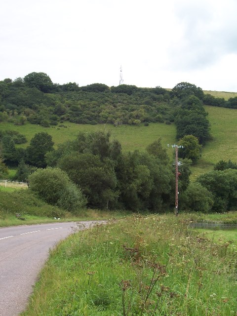
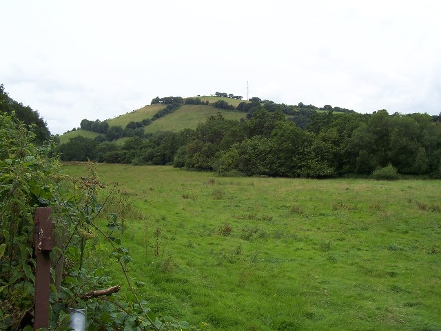
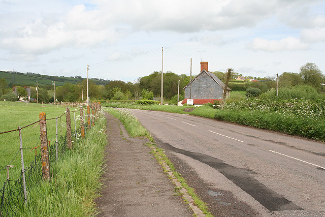
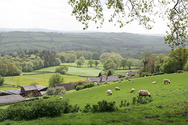
Gratton Copse is a picturesque woodland located in Devon, England. Covering an area of approximately 100 acres, it is a tranquil haven for nature enthusiasts and outdoor adventurers alike. The copse is situated in the rolling hills of the Dartmoor National Park, offering visitors breathtaking views of the surrounding countryside.
The woodland is predominantly composed of native broadleaf trees such as oak, beech, and birch, creating a diverse and vibrant ecosystem. These trees provide a habitat for various wildlife species, including birds, small mammals, and insects. Walking through Gratton Copse, one can hear the melodious songs of birds and catch glimpses of squirrels darting between the trees.
There are several well-maintained walking trails within the copse, enabling visitors to explore its natural beauty at their own pace. These trails range in difficulty, catering to both casual strollers and seasoned hikers. Along the way, informative signposts provide interesting facts about the flora and fauna found in the copse.
For those seeking a more immersive experience, Gratton Copse offers designated camping areas. Camping amidst the towering trees allows visitors to fully embrace the serenity of the woodland and spend a night under a star-studded sky.
The copse is also a popular spot for educational visits and school field trips. Environmental educators often organize workshops and guided tours to teach visitors about the importance of woodland conservation and sustainable practices.
In conclusion, Gratton Copse in Devon is a magnificent woodland that offers a peaceful retreat and a chance to connect with nature. Its lush vegetation, diverse wildlife, and well-maintained trails make it a must-visit destination for anyone looking to escape the hustle and bustle of everyday life.
If you have any feedback on the listing, please let us know in the comments section below.
Gratton Copse Images
Images are sourced within 2km of 51.011801/-3.4650337 or Grid Reference SS9724. Thanks to Geograph Open Source API. All images are credited.


Gratton Copse is located at Grid Ref: SS9724 (Lat: 51.011801, Lng: -3.4650337)
Administrative County: Devon
District: Mid Devon
Police Authority: Devon and Cornwall
What 3 Words
///heap.modem.dynamics. Near Dulverton, Somerset
Nearby Locations
Related Wikis

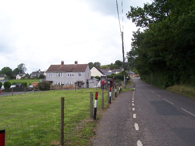
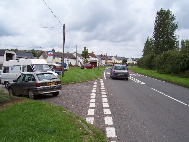
Shillingford, Devon
Shillingford is a village two miles (3 km) northeast of Bampton on the River Batherm in Mid Devon, England, close to the border with West Somerset. It...

Morebath
Morebath is an upland village in the county of Devon, England. It is mostly given over to sheep-farming, and situated on the southern edge of Exmoor. An...

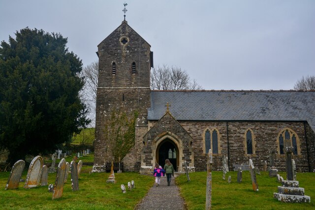
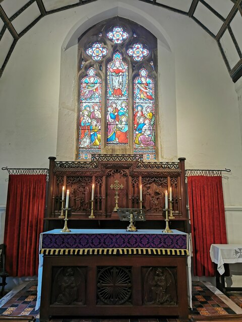
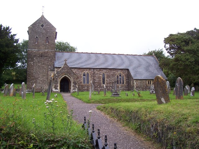
St George's Church, Morebath
St George's Church, Morebath is a Grade II* listed parish church in the Church of England Diocese of Exeter in Morebath, Devon. It is part of the Hukeley...

Morebath Junction railway station
Morebath Junction Halt was a railway halt near the junction of the Devon and Somerset Railway and Exe Valley Railway in Devon, South West England. �...
Nearby Amenities
Located within 500m of 51.011801,-3.4650337Have you been to Gratton Copse?
Leave your review of Gratton Copse below (or comments, questions and feedback).