Roskapark Wood

Wood, Forest in Cumberland Copeland

England

Roskapark Wood

Hannahmoor Lane
Hannahmoor Lane Credit: David Medcalf

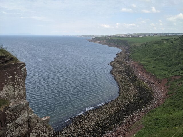
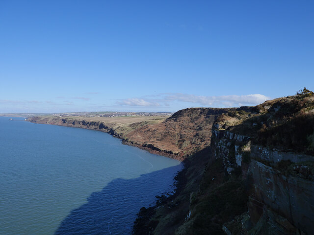
Roskapark Wood, located in Cumberland, is a stunning forest that stretches across a vast area, offering a peaceful and serene environment for nature enthusiasts. Covering approximately 500 acres, this woodland is renowned for its diverse range of flora and fauna, making it a haven for wildlife.

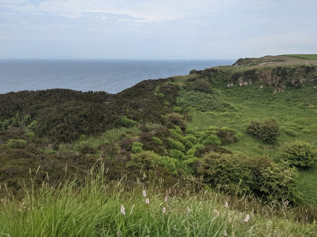
The forest is predominantly composed of ancient oak trees, which tower majestically above the forest floor. These trees provide a dense canopy that filters the sunlight, creating a cool and shaded atmosphere underneath. In addition to oaks, the wood also features other tree species such as birch, beech, and ash, adding to its overall biodiversity.

Wandering through Roskapark Wood, visitors can expect to encounter a variety of wildlife. The forest is home to many native species, including deer, foxes, badgers, and a plethora of bird species. Nature enthusiasts will be delighted by the opportunity to observe and photograph these creatures in their natural habitat.

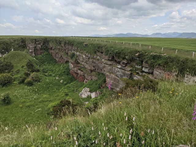
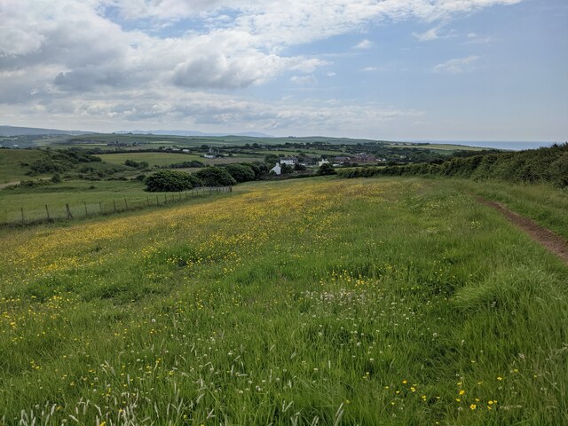
The forest also boasts a network of well-maintained trails, allowing visitors to explore the wood at their own pace. Hiking and cycling are popular activities, offering an opportunity to enjoy the tranquil surroundings and breathtaking views. For those seeking a more immersive experience, camping facilities are available within designated areas, providing an opportunity to spend a night under the stars.

Roskapark Wood truly offers a slice of paradise in Cumberland, with its ancient trees, diverse wildlife, and peaceful ambiance. Whether you are an avid nature lover or simply seeking an escape from the hustle and bustle of everyday life, this enchanting forest is a must-visit destination.

If you have any feedback on the listing, please let us know in the comments section below.

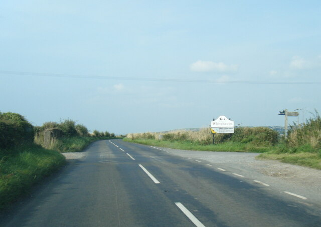
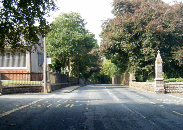
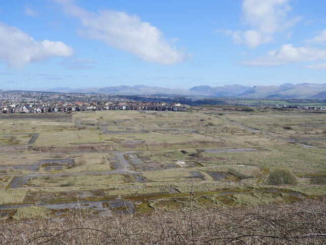
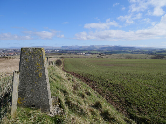
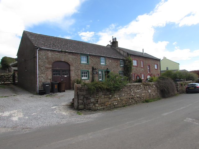
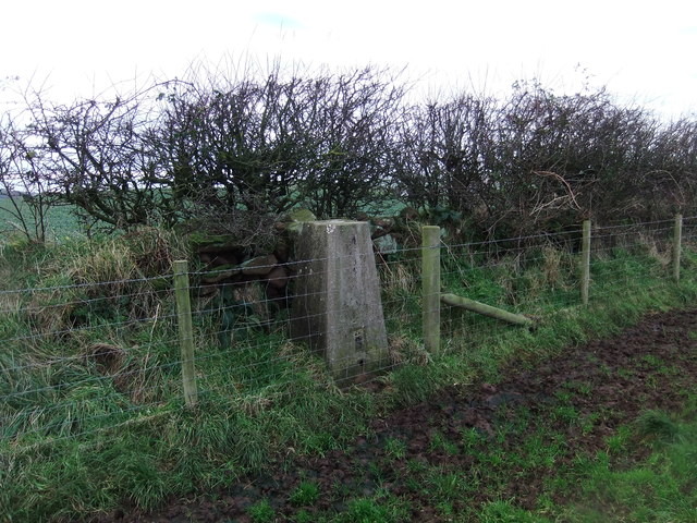
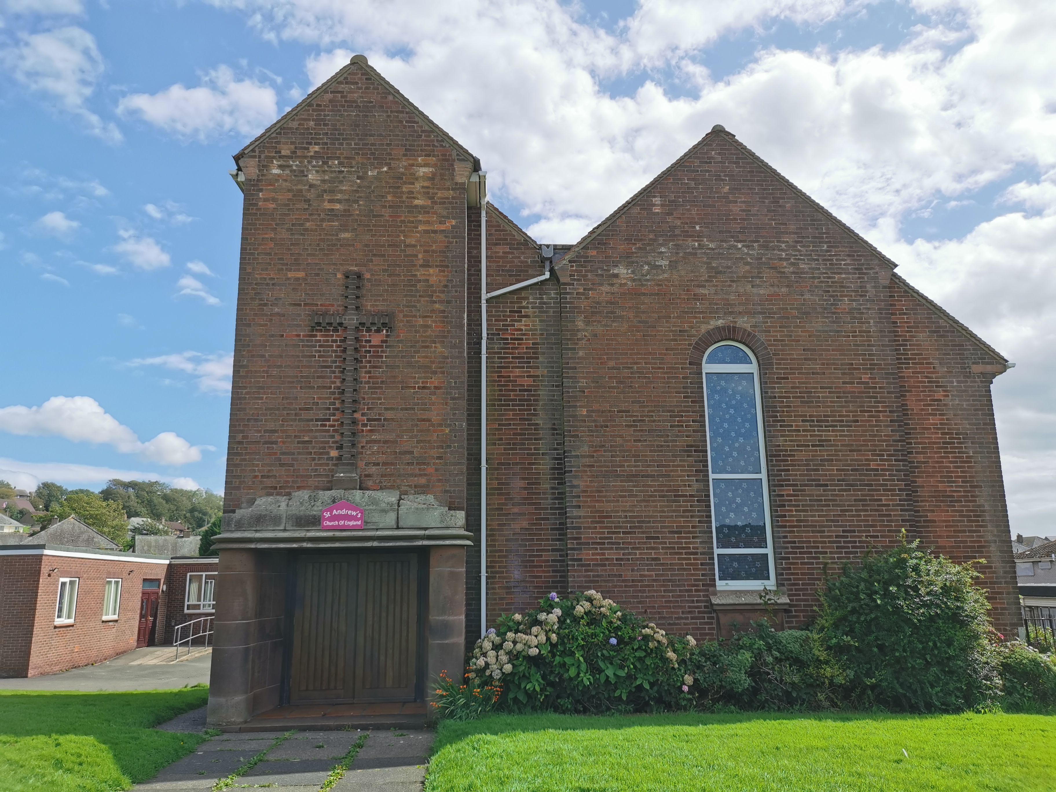
Roskapark Wood Images

Images are sourced within 2km of 54.518256/-3.5868973 or Grid Reference NX9714. Thanks to Geograph Open Source API. All images are credited.

Hannahmoor Lane
Hannahmoor Lane
Birkhams Quarry Now run by Marshalls who call it St Bees Quarry.
Birkhams Quarry
Now run by Marshalls who call it St Bees Quarry.
A great example of sandstone bedding At Birkhams/St Bees Quarry.
A great example of sandstone bedding
At Birkhams/St Bees Quarry.
A boulder beach near St Bees Head
The entrance to St Bees Quarry Formerly known as Birkham's Quarry.  See: <span class="nowrap"><a title="https://www.lakesguides.co.uk/html/lgaz/lk17309.htm" rel="nofollow ugc noopener" href="https://www.lakesguides.co.uk/html/lgaz/lk17309.htm">Link</a><img style="margin-left:2px;" alt="External link" title="External link - shift click to open in new window" src="https://s1.geograph.org.uk/img/external.png" width="10" height="10"/></span>
The entrance to St Bees Quarry
Formerly known as Birkham's Quarry. See: LinkExternal link
Disused quarry by the Coast Path
The back wall of the disused quarry
Wildflower field above Sandwith village
B5345 St Bees Road at Whitehaven boundary
B5345 Low Road at Cemetery Lodge
The site of the former Whitehaven chemical works The site of the former Marchon, latterly Huntsman chemical works on the outskirts of Whitehaven.  The works was operational from 1943 to 2005 with the site finally being cleared about a decade ago.

This photograph was taken during the Coronavirus (COVID-19) pandemic of 2020/21/22.
The site of the former Whitehaven chemical works
The site of the former Marchon, latterly Huntsman chemical works on the outskirts of Whitehaven. The works was operational from 1943 to 2005 with the site finally being cleared about a decade ago. This photograph was taken during the Coronavirus (COVID-19) pandemic of 2020/21/22.
Barrowmouth Wood triangulation pillar A fine view from this spot, 130 metres above sea level.  In this view, the former Whitehaven chemical works site and the distant Lake District fells can be noted.

This photograph was taken during the Coronavirus (COVID-19) pandemic of 2020/21/22.
Barrowmouth Wood triangulation pillar
A fine view from this spot, 130 metres above sea level. In this view, the former Whitehaven chemical works site and the distant Lake District fells can be noted. This photograph was taken during the Coronavirus (COVID-19) pandemic of 2020/21/22.
Along the coast to Whitehaven The rugged Cumbrian coast near Whitehaven.

This photograph was taken during the Coronavirus (COVID-19) pandemic of 2020/21/22.
Along the coast to Whitehaven
The rugged Cumbrian coast near Whitehaven. This photograph was taken during the Coronavirus (COVID-19) pandemic of 2020/21/22.
Benchmark Benchmark on a wall as you enter Rottington from the north
Benchmark
Benchmark on a wall as you enter Rottington from the north
Stratigraphy at Saltom Bay This is part of the Geological Conversation Review (GCR) Barrowmouth beach section site. The basal Permian stratigraphy dips around 05 degrees to the SW.
The oldest rocks are oxidised Whitehaven sandstones which are Upper Carboniferous in age. An unconformity, representing an erosional surface and depositional hiatus (around 60 million years), can be seen above these sandstones. The Early Permian Brockram Breccia is a polygenetic breccia-conglomerate formed during the deposition of subaerial alluvial fan bodies in arid to semi-arid climatic conditions.

Above this is a dolomite, or magnesian limestone, identified as the Saltom dolomite. This limestone represents the remains of a carbonate platform formerly active on the eastern edge of the Bakevellia Sea.
Stratigraphy at Saltom Bay
This is part of the Geological Conversation Review (GCR) Barrowmouth beach section site. The basal Permian stratigraphy dips around 05 degrees to the SW. The oldest rocks are oxidised Whitehaven sandstones which are Upper Carboniferous in age. An unconformity, representing an erosional surface and depositional hiatus (around 60 million years), can be seen above these sandstones. The Early Permian Brockram Breccia is a polygenetic breccia-conglomerate formed during the deposition of subaerial alluvial fan bodies in arid to semi-arid climatic conditions. Above this is a dolomite, or magnesian limestone, identified as the Saltom dolomite. This limestone represents the remains of a carbonate platform formerly active on the eastern edge of the Bakevellia Sea.
Former Inn in Sandwith The whitewashed building is the former Lowther Arms public house. 
It is a fine example of an 18thC vernacular building.
Former Inn in Sandwith
The whitewashed building is the former Lowther Arms public house. It is a fine example of an 18thC vernacular building.
Mid Town Farm Now split into two separate houses, but once a farm house with cartshed attached.
Mid Town Farm
Now split into two separate houses, but once a farm house with cartshed attached.
Trig pillar on Stanley Hill
Show me another place!

Roskapark Wood is located at Grid Ref: NX9714 (Lat: 54.518256, Lng: -3.5868973)

Administrative County: Cumbria

District: Copeland

Police Authority: Cumbria

What 3 Words

///awaited.outcasts.polka. Near St Bees, Cumbria

Nearby Locations

Benhow Wood Roskapark Wood

Related Wikis

Sandwith, Cumbria

Sandwith is a settlement and former civil parish in Cumbria, England, about 7 miles from Workington and near St Bees. It lies in the parish of Whitehaven...

Woodhouse Colliery

Woodhouse Colliery, also known as Whitehaven coal mine, is a proposed coal mine near to Whitehaven in Cumbria, England. The proposal is for the first deep...

Mirehouse, Copeland

Mirehouse is an area and ward in the English county of Cumbria and within the boundaries of the historic county of Cumberland. Mirehouse is 1.5 miles...

Rottington

Rottington is a hamlet and former civil parish which is 3 miles (4.8 km) from Whitehaven; now in the parish of St Bees, Cumberland, Cumbria, England. It...

West Cumberland Hospital

West Cumberland Hospital is a hospital in Hensingham, a suburb of Whitehaven in Cumbria, England, and was the first district general hospital to be built...

Corkickle

Corkickle is a suburb of Whitehaven in Cumbria, England. It is served by Corkickle railway station. == References ==

Whitehaven A.F.C.

Whitehaven Amateur Football Club is a football club in Whitehaven, Cumbria. The club are currently members of the West Lancashire League Premier Division...

Recreation Ground (Whitehaven)

The Recreation Ground (known locally as the 'Recre') and for sponsorship reasons the LEL Arena is a rugby league stadium in Whitehaven, Cumbria, England...

Related Videos

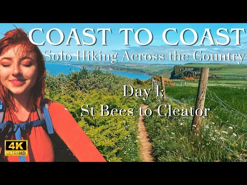
Coast to Coast: Solo Hiking Across the Country - Day 1 (4K)

Join me on Patreon! https://www.patreon.com/TinyPineOutdoors The first day of my two week long journey across the UK! I started ...

Camping The Wainwrights Coast To Coast in England | Embrace The Journey

The Wainwrights Coast to Coast path begins in St Bees in Cumbria, then runs across the country through the Lake District, ...

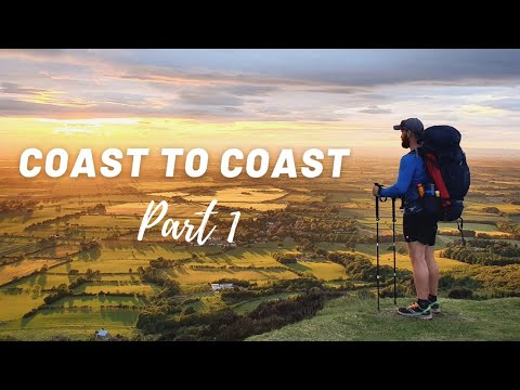
Solo Coast to Coast hike | 200 miles | 11 days | PART 1

The Coast To Coast hike is just under 200 miles across England, starting at St Bees head in the Lake District over to Robin hoods ...

Coast to Coast for a Cause: Hiking 192 Miles for the Children's Society Charity

Max and Nick embark on a journey of a lifetime, following in the footsteps of the famous fellwalker Alfred Wainwright. They set out ...

Nearby Amenities

Located within 500m of 54.518256,-3.5868973
Demesne
Place: isolated_dwelling
Lat/Long: 54.5157321/-3.5868511
Power: pole
Lat/Long: 54.5196944/-3.5940957
Power: pole
Lat/Long: 54.5197177/-3.5921726
Power: pole
Lat/Long: 54.5197536/-3.5902789
Power: pole
Lat/Long: 54.5198221/-3.5940769
Power: pole
Lat/Long: 54.5198361/-3.5921404
Power: pole
Lat/Long: 54.5198703/-3.5902736
Power: pole
Lat/Long: 54.5198843/-3.5882834
Power: pole
Lat/Long: 54.519559/-3.5869262
Power: pole
Lat/Long: 54.5191869/-3.5854751
Power: pole
Lat/Long: 54.5197722/-3.5884121
Power: pole
Lat/Long: 54.5194344/-3.5870254
Power: pole
Lat/Long: 54.5190748/-3.5855636
Power: pole
Lat/Long: 54.5182138/-3.5804004
Power: pole
Lat/Long: 54.5183898/-3.5822672
Power: pole
Lat/Long: 54.5182792/-3.5824147
Power: pole
Lat/Long: 54.51743/-3.5800926
Power: pole
Lat/Long: 54.517767/-3.5812962
Power: pole
Lat/Long: 54.5175428/-3.5799792
Power: pole
Lat/Long: 54.5176487/-3.5814089
Noexit: yes
Lat/Long: 54.5226775/-3.5865807
Noexit: yes
Lat/Long: 54.5224665/-3.5876782
Noexit: yes
Lat/Long: 54.5217315/-3.5869294
Noexit: yes
Lat/Long: 54.5222804/-3.5881669
Give Way
Direction: backward
Lat/Long: 54.5211201/-3.5858843
Give Way
Direction: forward
Lat/Long: 54.5213352/-3.5846301
Give Way
Direction: forward
Lat/Long: 54.521013/-3.5830256
Material: wood
Power: pole
Lat/Long: 54.5137871/-3.5864785
Material: wood
Power: pole
Lat/Long: 54.5138862/-3.5856592
Material: wood
Power: pole
Lat/Long: 54.5140492/-3.5841684
Power: pole
Lat/Long: 54.5187069/-3.5824348
Power: pole
Lat/Long: 54.5194841/-3.5832754
Power: pole
Lat/Long: 54.5201413/-3.5839641
The data included in this document is from www.openstreetmap.org. The data is made available under ODbL.

Have you been to Roskapark Wood?

Leave your review of Roskapark Wood below (or comments, questions and feedback).