Benhow Wood

Wood, Forest in Cumberland Copeland

England

Benhow Wood

Disused quarry by the Coast Path
Disused quarry by the Coast Path Credit: David Medcalf

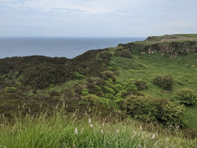
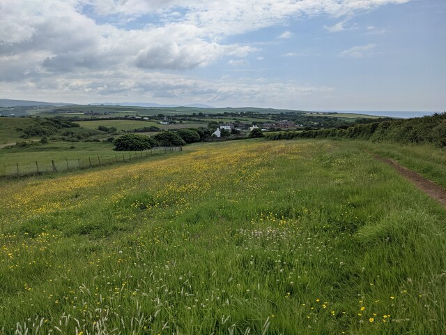
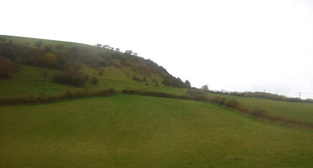
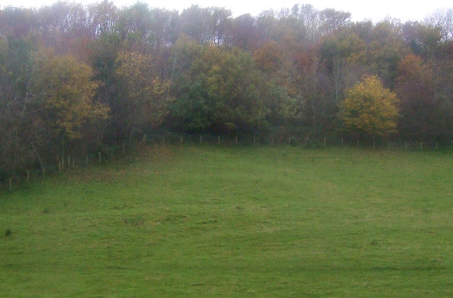
Benhow Wood is a picturesque forest located in Cumberland, England. Spanning over a vast area, it is known for its natural beauty and diverse ecosystem. The wood is predominantly made up of oak and beech trees, providing a lush green canopy that stretches as far as the eye can see.

The wood is home to a wide variety of flora and fauna, making it a haven for nature enthusiasts and wildlife lovers. Visitors can spot various species of birds, including woodpeckers, owls, and pheasants, as well as small mammals like squirrels and foxes. The forest floor is adorned with an array of wildflowers, adding vibrant colors to the landscape during the spring and summer months.

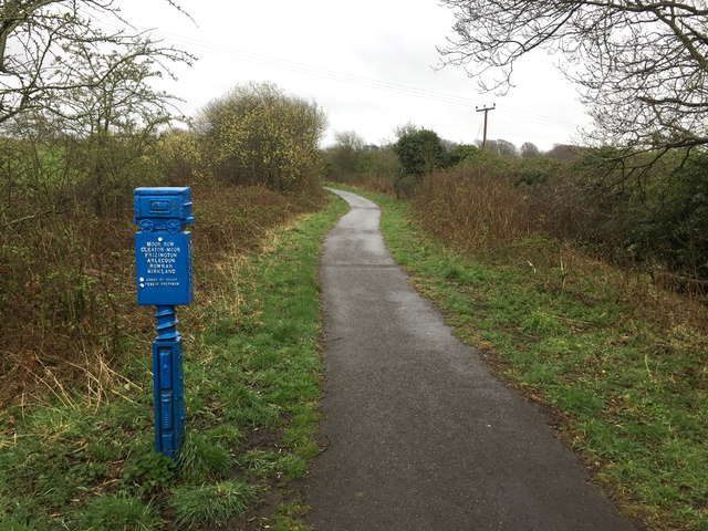
For those seeking outdoor activities, Benhow Wood offers several well-maintained walking trails, allowing visitors to explore its hidden gems. The trails wind through the dense foliage, providing a peaceful and tranquil environment for walkers. Additionally, the wood is intersected by a meandering stream, which adds to the serenity of the surroundings.

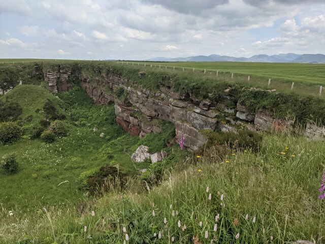
The wood has a rich history, with evidence of human habitation dating back centuries. Ancient stone structures and burial mounds can be found within its boundaries, offering a glimpse into the past. Archaeological surveys have revealed artifacts and tools from different eras, providing insights into the lives of those who once resided in the area.

Benhow Wood is a treasure trove of natural wonders, history, and tranquility, making it a must-visit destination for anyone looking to connect with nature and immerse themselves in the beauty of Cumberland.

If you have any feedback on the listing, please let us know in the comments section below.
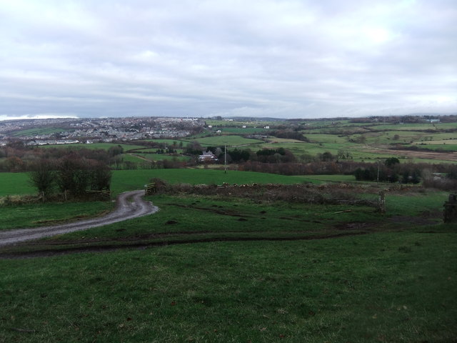
Benhow Wood Images

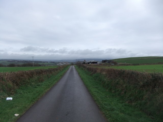
Images are sourced within 2km of 54.519385/-3.5816572 or Grid Reference NX9714. Thanks to Geograph Open Source API. All images are credited.

Disused quarry by the Coast Path
The back wall of the disused quarry
Wildflower field above Sandwith village
B5345 St Bees Road at Whitehaven boundary
B5345 Low Road at Cemetery Lodge
The site of the former Whitehaven chemical works The site of the former Marchon, latterly Huntsman chemical works on the outskirts of Whitehaven.  The works was operational from 1943 to 2005 with the site finally being cleared about a decade ago.

This photograph was taken during the Coronavirus (COVID-19) pandemic of 2020/21/22.
The site of the former Whitehaven chemical works
The site of the former Marchon, latterly Huntsman chemical works on the outskirts of Whitehaven. The works was operational from 1943 to 2005 with the site finally being cleared about a decade ago. This photograph was taken during the Coronavirus (COVID-19) pandemic of 2020/21/22.
Barrowmouth Wood triangulation pillar A fine view from this spot, 130 metres above sea level.  In this view, the former Whitehaven chemical works site and the distant Lake District fells can be noted.

This photograph was taken during the Coronavirus (COVID-19) pandemic of 2020/21/22.
Barrowmouth Wood triangulation pillar
A fine view from this spot, 130 metres above sea level. In this view, the former Whitehaven chemical works site and the distant Lake District fells can be noted. This photograph was taken during the Coronavirus (COVID-19) pandemic of 2020/21/22.
St Bees Head from the air Westlakes Science and Technology Park is in the foreground, Whitehaven is on the right.
St Bees Head from the air
Westlakes Science and Technology Park is in the foreground, Whitehaven is on the right.
Former Inn in Sandwith The whitewashed building is the former Lowther Arms public house. 
It is a fine example of an 18thC vernacular building.
Former Inn in Sandwith
The whitewashed building is the former Lowther Arms public house. It is a fine example of an 18thC vernacular building.
Mid Town Farm Now split into two separate houses, but once a farm house with cartshed attached.
Mid Town Farm
Now split into two separate houses, but once a farm house with cartshed attached.
Trig pillar on Stanley Hill
View from Stanley Hill
Coast to Coast at Bell House
Houses on Wasdale Close
Houses on Burnmoor Avenue
Grazing near Stanley House
Grazing and woodland near Stanley House
Disused Railway at Moor Row Now carrying a foot and cycle route  between Whitehaven and Egremont.
Disused Railway at Moor Row
Now carrying a foot and cycle route between Whitehaven and Egremont.
Show me another place!

Benhow Wood is located at Grid Ref: NX9714 (Lat: 54.519385, Lng: -3.5816572)

Administrative County: Cumbria

District: Copeland

Police Authority: Cumbria

What 3 Words

///forks.uncouth.clearing. Near St Bees, Cumbria

Nearby Locations

Benhow Wood Roskapark Wood

Related Wikis

Nearby Amenities

Located within 500m of 54.519385,-3.5816572
Borrowdale Road o/s no. 34
Local Ref: AT
Naptan AtcoCode: 090050300017
Naptan Bearing: W
Naptan BusStopType: CUS
Naptan CommonName: Borrowdale Road o/s no. 34
Naptan Indicator: at
Naptan Landmark: junction with Ashness Close
Naptan NaptanCode: cumawjaj
Naptan Street: Borrowdale Road
Naptan Verified: no
Source: naptan_import
Lat/Long: 54.5237051/-3.5799088
Bus Stop
Greenbank Farm (N bound)
Bus: yes
Naptan AtcoCode: 090050300157
Naptan Bearing: N
Naptan CommonName: Greenbank Farm (N bound)
Naptan Indicator: near
Naptan Landmark: junction with Mirehouse Road
Naptan NaptanCode: cumawjtp
Naptan Street: B5345 St Bees Road
Naptan Verified: no
Public Transport: platform
Source: naptan_import
Lat/Long: 54.5224228/-3.5831196
Bus Stop
Greenbank Farm (S bound)
Bus: yes
Naptan AtcoCode: 090050300159
Naptan Bearing: S
Naptan CommonName: Greenbank Farm (S bound)
Naptan Indicator: near
Naptan Landmark: junction with Mirehouse Road
Naptan NaptanCode: cumawjwa
Naptan Street: B5345 St Bees Road
Naptan Verified: no
Public Transport: platform
Source: naptan_import
Lat/Long: 54.5227758/-3.5829324
Mirehouse Pond (E bound)
Naptan AtcoCode: 090050303878
Naptan Bearing: E
Naptan BusStopType: CUS
Naptan CommonName: Mirehouse Pond (E bound)
Naptan Indicator: near
Naptan Landmark: Mirehouse Pond
Naptan NaptanCode: cumawtam
Naptan Street: Mirehouse Road
Naptan Verified: no
Source: naptan_import
Lat/Long: 54.5219748/-3.5775088
Mirehouse Pond (W bound)
Naptan AtcoCode: 090050303879
Naptan Bearing: W
Naptan BusStopType: CUS
Naptan CommonName: Mirehouse Pond (W bound)
Naptan Indicator: near
Naptan Landmark: Mirehouse Pond
Naptan NaptanCode: cumawtap
Naptan Street: Mirehouse Road
Naptan Verified: no
Source: naptan_import
Lat/Long: 54.521831/-3.5775033
Haig Angling Club
Leisure: sports_centre
Phone: +44 1946 66181
Website: https://sites.google.com/site/haiganglingclub/
Lat/Long: 54.5216654/-3.5777004
Power: pole
Lat/Long: 54.5198843/-3.5882834
Power: pole
Lat/Long: 54.519559/-3.5869262
Power: pole
Lat/Long: 54.5191869/-3.5854751
Power: pole
Lat/Long: 54.5197722/-3.5884121
Power: pole
Lat/Long: 54.5194344/-3.5870254
Power: pole
Lat/Long: 54.5190748/-3.5855636
Power: pole
Lat/Long: 54.5173871/-3.5768089
Power: pole
Lat/Long: 54.5178324/-3.5787132
Power: pole
Lat/Long: 54.5182138/-3.5804004
Power: pole
Lat/Long: 54.5183898/-3.5822672
Power: pole
Lat/Long: 54.5182792/-3.5824147
Power: pole
Lat/Long: 54.51743/-3.5800926
Power: pole
Lat/Long: 54.517767/-3.5812962
Power: pole
Lat/Long: 54.5175428/-3.5799792
Power: pole
Lat/Long: 54.5173389/-3.5787588
Power: pole
Lat/Long: 54.5176487/-3.5814089
Power: pole
Lat/Long: 54.5172392/-3.5789439
Power: pole
Lat/Long: 54.5170104/-3.577635
Power: pole
Lat/Long: 54.5171209/-3.5774606
Noexit: yes
Lat/Long: 54.5226775/-3.5865807
Noexit: yes
Lat/Long: 54.5217315/-3.5869294
Give Way
Direction: backward
Lat/Long: 54.5211201/-3.5858843
Give Way
Direction: forward
Lat/Long: 54.5213352/-3.5846301
Noexit: yes
Lat/Long: 54.5227695/-3.5859227
Give Way
Direction: forward
Lat/Long: 54.521013/-3.5830256
Power: pole
Lat/Long: 54.5187069/-3.5824348
Power: pole
Lat/Long: 54.5194841/-3.5832754
Power: pole
Lat/Long: 54.5201413/-3.5839641
The data included in this document is from www.openstreetmap.org. The data is made available under ODbL.

Have you been to Benhow Wood?

Leave your review of Benhow Wood below (or comments, questions and feedback).