Pond Cleeve Copse

Wood, Forest in Somerset Somerset West and Taunton

England

Pond Cleeve Copse

On Post Lane, heading south
On Post Lane, heading south Credit: Rob Purvis

Pond Cleeve Copse is a captivating woodland located in Somerset, England. Covering an area of approximately 50 acres, it is a picturesque haven for nature enthusiasts and hikers alike. The copse is nestled within the Mendip Hills, providing a stunning backdrop of rolling hills and scenic beauty.

As the name suggests, Pond Cleeve Copse features a small tranquil pond, which adds to the charm of the woodland. The pond is home to a diverse array of aquatic plants and creatures, making it a popular spot for wildlife observation. Visitors can often spot ducks, dragonflies, and various species of fish in and around the pond.

The copse boasts a rich biodiversity, with a wide variety of flora and fauna. Ancient oak and beech trees dominate the woodland, their majestic canopies providing shade and shelter for a myriad of plants and animals. Bluebells carpet the forest floor in the spring, creating a breathtaking carpet of vibrant blue hues.

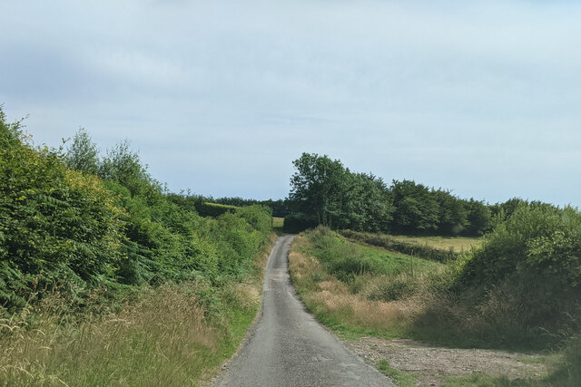
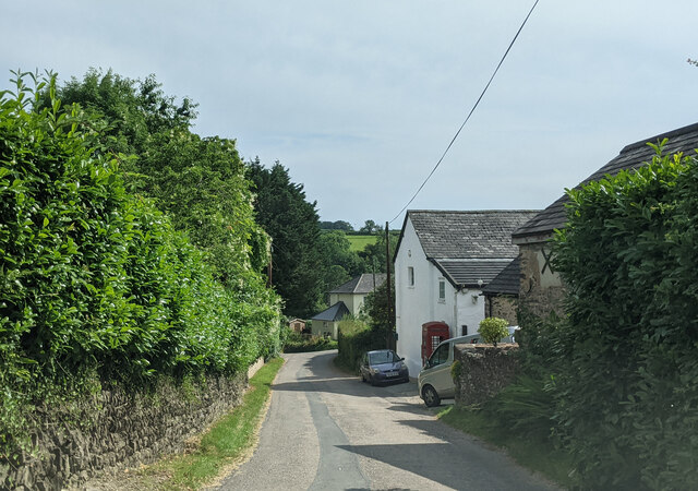
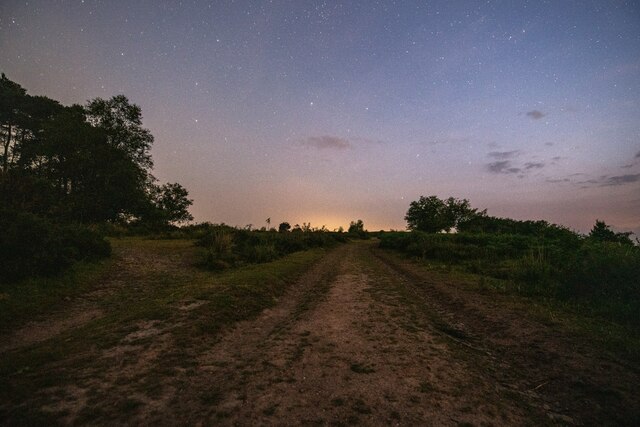
The woodland is crisscrossed with a network of well-maintained trails, offering visitors the opportunity to explore its natural wonders. As one strolls through the copse, they may come across wooden sculptures and benches, which add an artistic touch to the surroundings and provide resting spots for weary walkers.

Pond Cleeve Copse is a designated Site of Special Scientific Interest (SSSI), further highlighting its ecological importance. It is managed by a local conservation organization, ensuring the preservation of its unique habitats and protecting the diverse wildlife that calls the copse home.

Overall, Pond Cleeve Copse is a captivating woodland that offers a peaceful retreat for nature lovers. Its scenic beauty, diverse wildlife, and well-maintained trails make it an ideal destination for a leisurely stroll or a day of exploration.

If you have any feedback on the listing, please let us know in the comments section below.

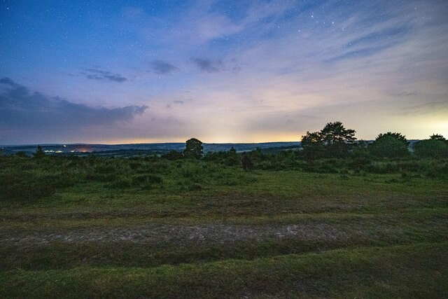
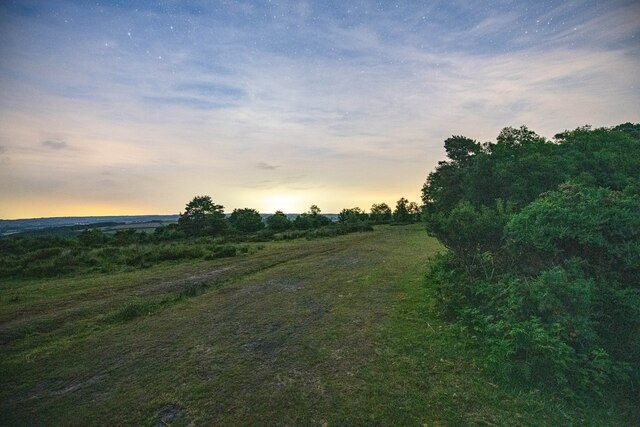
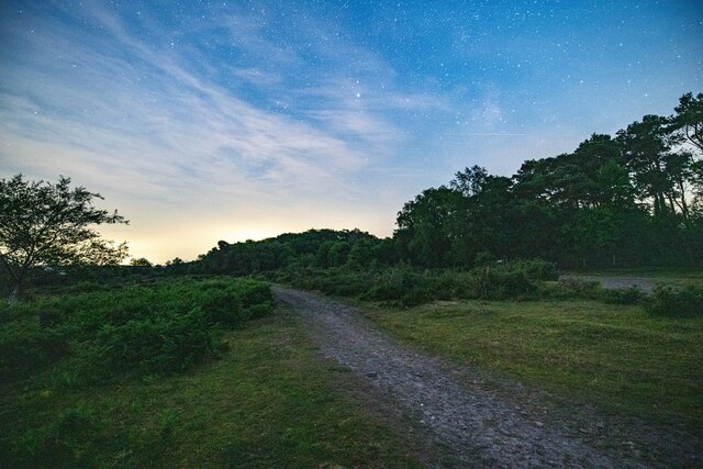
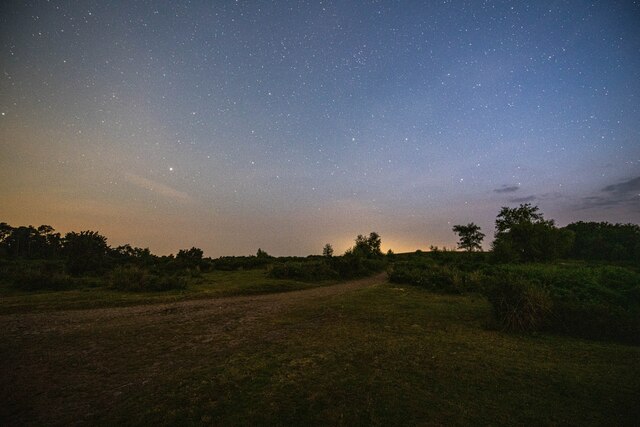
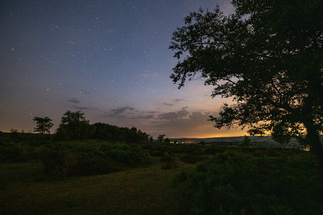
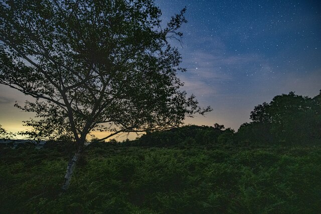
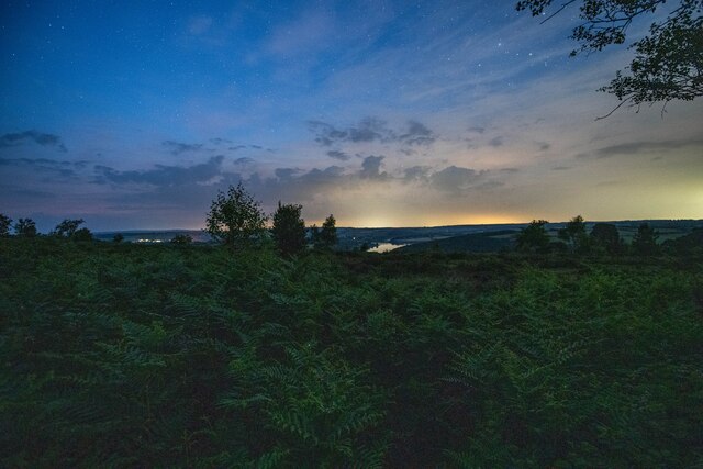
Pond Cleeve Copse Images

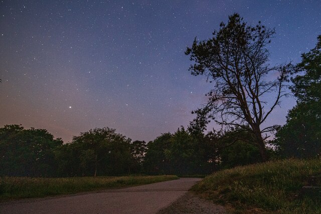
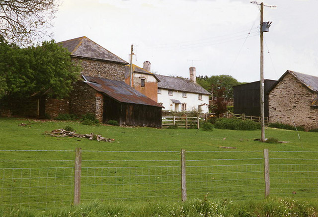
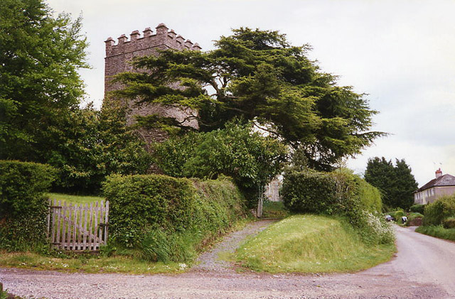
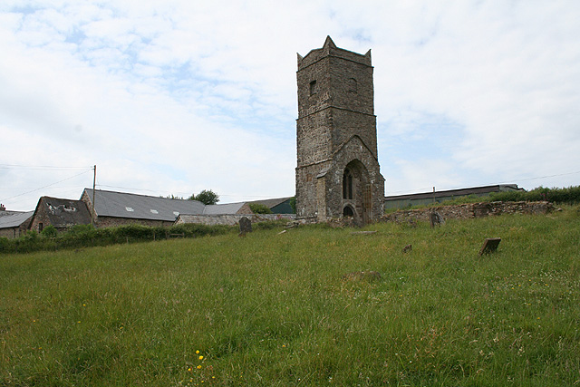
Images are sourced within 2km of 51.034195/-3.4605343 or Grid Reference SS9727. Thanks to Geograph Open Source API. All images are credited.

On Post Lane, heading south
Houses, cars and a public telephone box at Skilgate
Hone Cross lane junction, looking south
Skilgate : Car Park A car park atop Haddon Hill.
Skilgate : Car Park
A car park atop Haddon Hill.
Brompton Regis : Footpath The gate from the car park to Haddon Hill and Exmoor.
Brompton Regis : Footpath
The gate from the car park to Haddon Hill and Exmoor.
Brompton Regis : Exmoor Scenery Looking across Exmoor from Haddon Hill at around 00:10.
Brompton Regis : Exmoor Scenery
Looking across Exmoor from Haddon Hill at around 00:10.
Brompton Regis : Exmoor Scenery A track heads over Haddon Hill.
Brompton Regis : Exmoor Scenery
A track heads over Haddon Hill.
Brompton Regis : Exmoor Scenery A footpath over Haddon Hill.
Brompton Regis : Exmoor Scenery
A footpath over Haddon Hill.
Brompton Regis : Footpath A footpath heading up Haddon Hill on Exmoor.
Brompton Regis : Footpath
A footpath heading up Haddon Hill on Exmoor.
Brompton Regis : Exmoor Scenery Looking across Exmoor at around midnight on Haddon Hill.
Brompton Regis : Exmoor Scenery
Looking across Exmoor at around midnight on Haddon Hill.
Brompton Regis : Exmoor Scenery At Haddon Hill on Exmoor.
Brompton Regis : Exmoor Scenery
At Haddon Hill on Exmoor.
Brompton Regis : Exmoor Scenery Looking across Haddon Hill and down towards Wimbleball Reservoir.
Brompton Regis : Exmoor Scenery
Looking across Haddon Hill and down towards Wimbleball Reservoir.
Brompton Regis : Footpath A footpath up to the top of Haddon Hill.
Brompton Regis : Footpath
A footpath up to the top of Haddon Hill.
Skilgate : Car Park A car park for people heading to Haddon Hill.
Skilgate : Car Park
A car park for people heading to Haddon Hill.
Court Farm Some of the buildings of Court Farm are just visible at the end of this track
Court Farm
Some of the buildings of Court Farm are just visible at the end of this track
Wimbleball Lake (Reservoir) View across to Wimbleball Lake, which is in fact a reservoir, from the northern slopes of Haddon Hill.
Wimbleball Lake (Reservoir)
View across to Wimbleball Lake, which is in fact a reservoir, from the northern slopes of Haddon Hill.
Skilgate: Surridge Farm The building nearest the camera was apparently a water-powered saw mill. The leat has long since been ploughed up and the millpond is now a small copse. To left of the building a large overshot waterwheel survived in 1996, in an overgrown wheelpit
Skilgate: Surridge Farm
The building nearest the camera was apparently a water-powered saw mill. The leat has long since been ploughed up and the millpond is now a small copse. To left of the building a large overshot waterwheel survived in 1996, in an overgrown wheelpit
Skilgate: St John’s church The tower dates from the 14th century; the body of the church was rebuilt in 1872
Skilgate: St John’s church
The tower dates from the 14th century; the body of the church was rebuilt in 1872
Show me another place!

Pond Cleeve Copse is located at Grid Ref: SS9727 (Lat: 51.034195, Lng: -3.4605343)

Administrative County: Somerset

District: Somerset West and Taunton

Police Authority: Avon and Somerset

What 3 Words

///winters.images.disprove. Near Dulverton, Somerset

Nearby Locations

Pond Cleeve Copse

Related Wikis

Have you been to Pond Cleeve Copse?

Leave your review of Pond Cleeve Copse below (or comments, questions and feedback).