Hopcott Brake

Wood, Forest in Somerset Somerset West and Taunton

England

Hopcott Brake

A Somerset County League Div 1 game at Minehead AFC Minehead repel an attack in the second half. The game ended Minehead 3 Nailsea & Tickenham Reserves 0.
A Somerset County League Div 1 game at Minehead AFC Credit: Roger Cornfoot

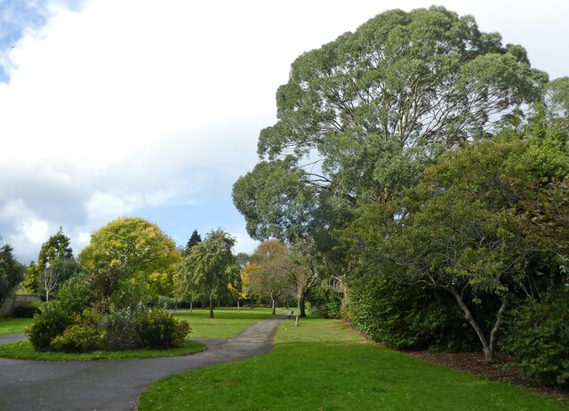
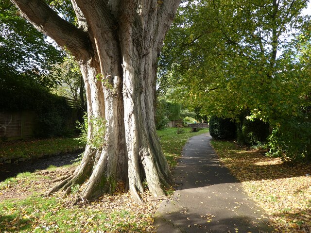
Hopcott Brake is a picturesque woodland located in Somerset, England. Covering an area of approximately 100 acres, it is a haven for nature lovers and outdoor enthusiasts. The woodland is predominantly composed of a variety of native broadleaf trees, including oak, beech, and birch, creating a diverse and vibrant ecosystem.

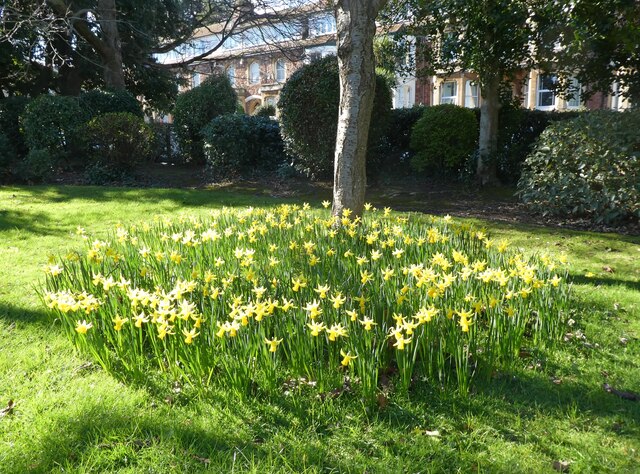
The forest floor is adorned with a rich carpet of ferns, bluebells, and wildflowers during the spring and summer months, attracting a plethora of wildlife. Visitors to Hopcott Brake may spot a range of bird species, such as woodpeckers, tits, and thrushes, as well as small mammals like squirrels and rabbits.

The wood provides a tranquil environment for walking, hiking, and exploring. A network of well-maintained footpaths and trails meander through the woodland, offering visitors the opportunity to immerse themselves in its natural beauty. Along these paths, one can find several benches and picnic spots, allowing visitors to take a moment to relax and enjoy the surroundings.

Hopcott Brake is managed by local authorities who ensure its preservation and conservation. The woodland is also part of a broader conservation initiative aimed at protecting and enhancing Somerset's natural heritage.

Overall, Hopcott Brake offers a peaceful retreat for individuals seeking solace in nature. With its diverse flora and fauna, well-maintained trails, and beautiful surroundings, it is a true gem in the heart of Somerset.

If you have any feedback on the listing, please let us know in the comments section below.

Hopcott Brake Images

Images are sourced within 2km of 51.194926/-3.4929762 or Grid Reference SS9545. Thanks to Geograph Open Source API. All images are credited.

A Somerset County League Div 1 game at Minehead AFC Minehead repel an attack in the second half. The game ended Minehead 3 Nailsea & Tickenham Reserves 0.
A Somerset County League Div 1 game at Minehead AFC
Minehead repel an attack in the second half. The game ended Minehead 3 Nailsea & Tickenham Reserves 0.
Minehead manager, Avril Cooke makes a late substitution at Irnham Road The game ended Minehead 3 Nailsea & Tickenham Reserves 0.
Minehead manager, Avril Cooke makes a late substitution at Irnham Road
The game ended Minehead 3 Nailsea & Tickenham Reserves 0.
Selbourne Place, Minehead Number 41 Selbourne Place, Minehead. This property also has an Ordnance Survey bench mark.
<a href="https://www.geograph.org.uk/photo/6999397">SS9646 : Ordnance Survey Bench Mark</a>
Selbourne Place, Minehead
Number 41 Selbourne Place, Minehead. This property also has an Ordnance Survey bench mark. SS9646 : Ordnance Survey Bench Mark
Ordnance Survey Bench Mark This mark is located on the wall at 41 Selbourne Place, Minehead. These marks were used by Ordnance Survey for mapping purposes.
<a href="https://www.geograph.org.uk/photo/6999393">SS9646 : Selbourne Place, Minehead</a>
Ordnance Survey Bench Mark
This mark is located on the wall at 41 Selbourne Place, Minehead. These marks were used by Ordnance Survey for mapping purposes. SS9646 : Selbourne Place, Minehead
Church of St Andrew, Minehead The Church of St Andrew, Minehead. The Church also has an Ordnance Survey bench mark.
<a href="https://www.geograph.org.uk/photo/6999438">SS9646 : Ordnance Survey Bench Mark</a>
Church of St Andrew, Minehead
The Church of St Andrew, Minehead. The Church also has an Ordnance Survey bench mark. SS9646 : Ordnance Survey Bench Mark
Ordnance Survey Bench Mark This mark is located on a stone gatepost at the Church of St Andrew in Minehead. these marks were used by Ordnance Survey for mapping purposes.
<a href="https://www.geograph.org.uk/photo/6999436">SS9646 : Church of St Andrew, Minehead</a>
Ordnance Survey Bench Mark
This mark is located on a stone gatepost at the Church of St Andrew in Minehead. these marks were used by Ordnance Survey for mapping purposes. SS9646 : Church of St Andrew, Minehead
Entrance to Brook Close
Paths through 'The Parks', Minehead
Mature Poplar tree in  'The Parks', Minehead
Mature Poplar tree in 'The Parks', Minehead
Model railway exhibition at Sainsbury Hall
Lane, at the rear of Elm Grove
The lower part of King George Road
Playground at Minehead First School
Car charging point, Alexandra Road Car Park
North Road Car Park, Minehead
Early daffodils in Blenheim Park
Birthplace of Arthur C. Clarke, in Minehead 16th December, 1917.
Birthplace of Arthur C. Clarke, in Minehead
16th December, 1917.
The blue and yellow colours of Ukraine, in Wellington Square Bunting erected by Minehead Town Council, in a gesture of support for the brave people of Ukraine, who are facing an unprovoked invasion by Russian armed forces.
The blue and yellow colours of Ukraine, in Wellington Square
Bunting erected by Minehead Town Council, in a gesture of support for the brave people of Ukraine, who are facing an unprovoked invasion by Russian armed forces.
Show me another place!

Hopcott Brake is located at Grid Ref: SS9545 (Lat: 51.194926, Lng: -3.4929762)

Administrative County: Somerset

District: Somerset West and Taunton

Police Authority: Avon and Somerset

What 3 Words

///regress.cattle.dumps. Near Minehead, Somerset

Related Wikis

Dunster Park and Heathlands

Dunster Park and Heathlands (grid reference SS955441) is a 466.6 hectare biological Site of Special Scientific Interest in Somerset, notified in 2000....

The Kildare Lodge Inn

The Kildare Lodge Inn in Minehead, Somerset, England, was built in 1905/6, and is located at 18 Townsend Road, to the south east of the town centre of...

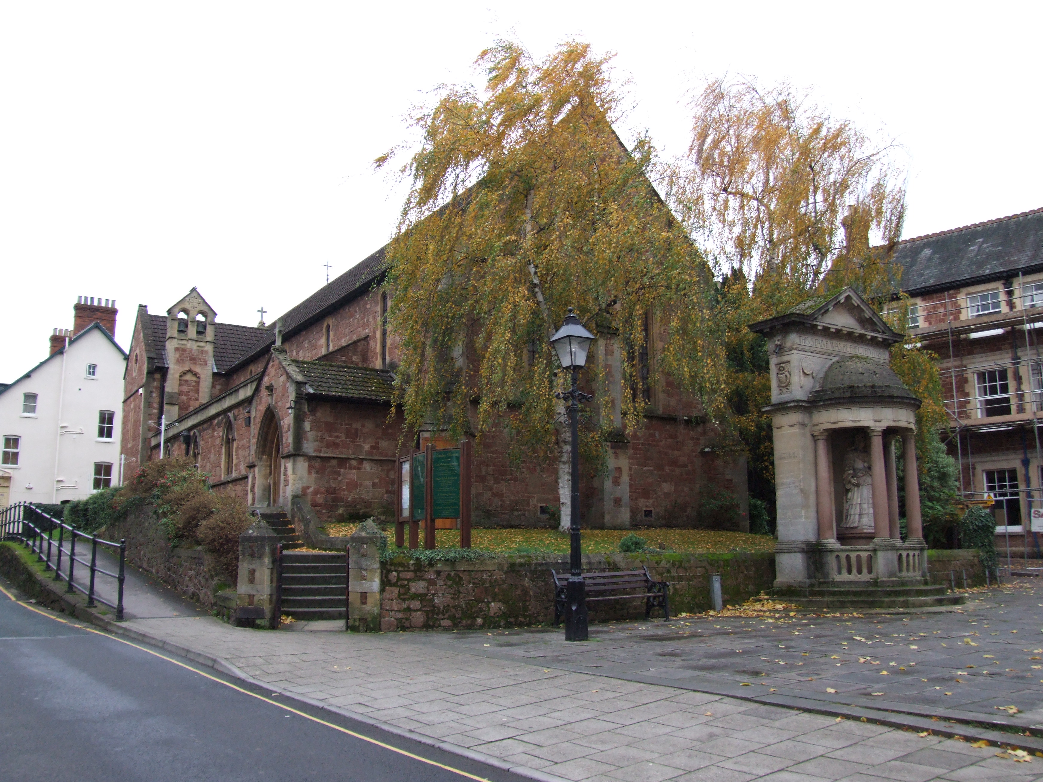
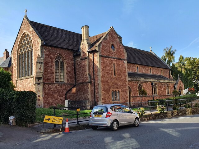
St Andrew's Church, Minehead

St Andrew's Church is a Church of England church in Minehead, Somerset, England. Designed by George Edmund Street, it was built in 1877–80 and has been...

Statue of Queen Anne, Minehead

The Statue of Queen Anne in Minehead, Somerset, England was built in 1719. It is a Grade II* listed building. == History == The statue depicts Queen Anne...

Minehead Without

Minehead Without is a civil parish in the English county of Somerset, and within the Exmoor National Park. As its name suggests, the parish covers a rural...
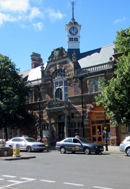
Minehead Town Hall

Minehead Town Hall is a municipal building in The Parade, Minehead, Somerset, England. The structure, which is the meeting place of Minehead Town Council...

Minehead

Minehead is a coastal town and civil parish in Somerset, England. It lies on the south bank of the Bristol Channel, 21 miles (34 km) north-west of the...

Bratton Court

Bratton Court in the hamlet of Bratton within the parish of Minehead Without, Somerset, England was built as a manor house, with a 14th-century open hall...

Nearby Amenities

Located within 500m of 51.194926,-3.4929762
Power: pole
Lat/Long: 51.1970779/-3.4989417
Power: pole
Lat/Long: 51.1979947/-3.4978366
Higher Hopcott
Place: locality
Lat/Long: 51.195976/-3.487145
The data included in this document is from www.openstreetmap.org. The data is made available under ODbL.

Have you been to Hopcott Brake?

Leave your review of Hopcott Brake below (or comments, questions and feedback).