Periton Brake
Wood, Forest in Somerset Somerset West and Taunton
England
Periton Brake
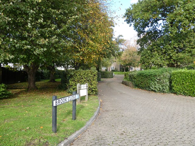
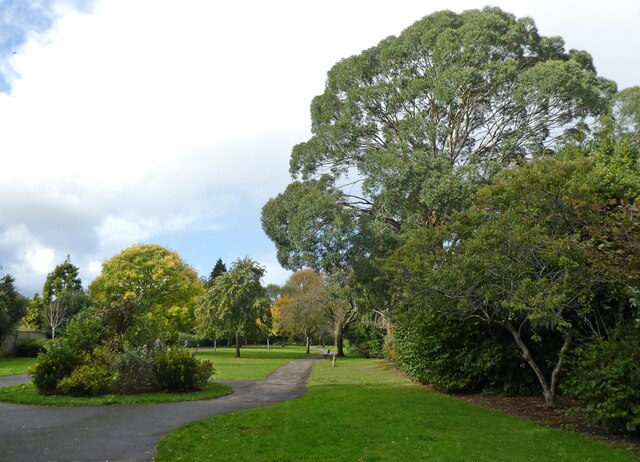
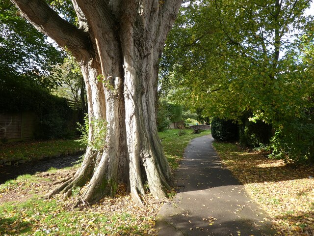
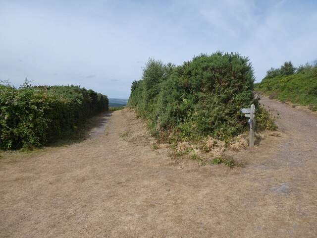
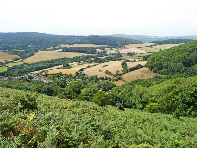
Periton Brake is a picturesque woodland area located in Somerset, England. Covering an area of approximately 400 acres, it is situated near the town of Minehead and is part of the larger Periton Park estate. The wood is mainly composed of oak and beech trees, with a dense canopy that provides shade and shelter for a variety of flora and fauna.
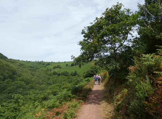
The woodland is a popular destination for nature enthusiasts and outdoor enthusiasts alike. It offers a network of well-maintained trails, allowing visitors to explore the area on foot or by bicycle. The trails wind through the dense forest, providing opportunities to observe wildlife such as deer, foxes, and various bird species.
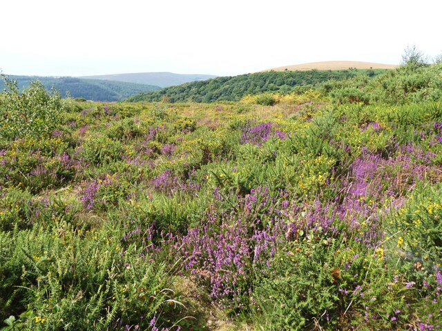
Periton Brake is also known for its vibrant wildflower displays, particularly in the spring and summer months. Bluebells, primroses, and wood anemones carpet the forest floor, creating a stunning visual spectacle. The wood is managed by the local authorities, ensuring that the delicate ecosystem is protected and maintained for future generations to enjoy.
In addition to its natural beauty, Periton Brake also has historical significance. It is believed to have been used as a hunting ground in the past and remnants of ancient earthworks can still be seen in certain areas. The wood is also home to several archaeological sites, including the remains of a Roman villa.
Overall, Periton Brake offers a peaceful and tranquil escape from the hustle and bustle of everyday life. Its natural beauty, diverse wildlife, and historical significance make it a must-visit destination for anyone seeking to connect with nature and explore the rich heritage of Somerset.
If you have any feedback on the listing, please let us know in the comments section below.
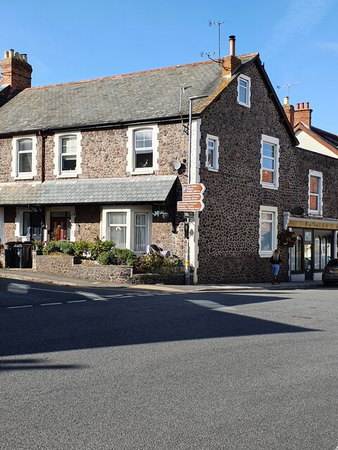
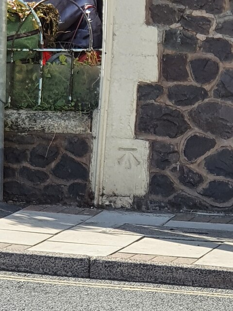
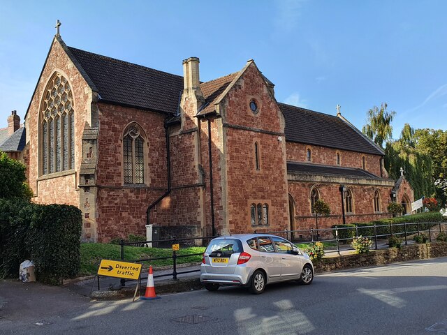
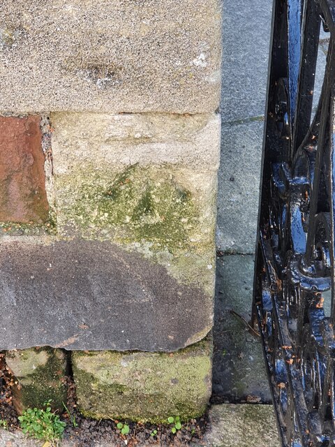
Periton Brake Images
Images are sourced within 2km of 51.199745/-3.5021638 or Grid Reference SS9545. Thanks to Geograph Open Source API. All images are credited.

Periton Brake is located at Grid Ref: SS9545 (Lat: 51.199745, Lng: -3.5021638)
Administrative County: Somerset
District: Somerset West and Taunton
Police Authority: Avon and Somerset
What 3 Words
///improving.boots.unheated. Near Minehead, Somerset
Nearby Locations
Related Wikis

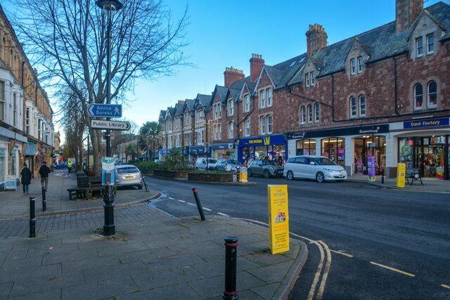
Minehead Without
Minehead Without is a civil parish in the English county of Somerset, and within the Exmoor National Park. As its name suggests, the parish covers a rural...

Bratton Court
Bratton Court in the hamlet of Bratton within the parish of Minehead Without, Somerset, England was built as a manor house, with a 14th-century open hall...
Dunster Park and Heathlands
Dunster Park and Heathlands (grid reference SS955441) is a 466.6 hectare biological Site of Special Scientific Interest in Somerset, notified in 2000....
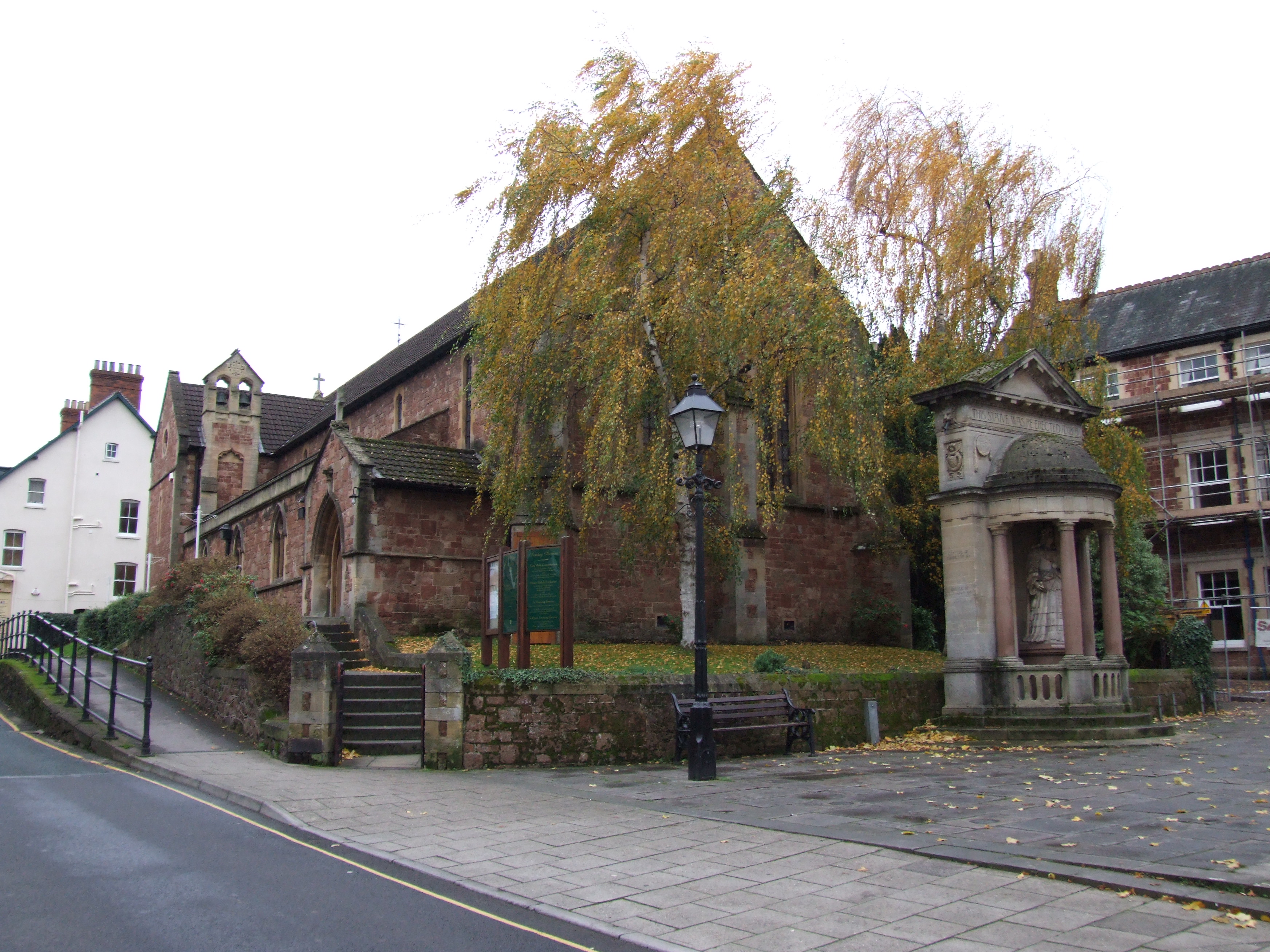
St Andrew's Church, Minehead
St Andrew's Church is a Church of England church in Minehead, Somerset, England. Designed by George Edmund Street, it was built in 1877–80 and has been...

Statue of Queen Anne, Minehead
The Statue of Queen Anne in Minehead, Somerset, England was built in 1719. It is a Grade II* listed building. == History == The statue depicts Queen Anne...

The Kildare Lodge Inn
The Kildare Lodge Inn in Minehead, Somerset, England, was built in 1905/6, and is located at 18 Townsend Road, to the south east of the town centre of...
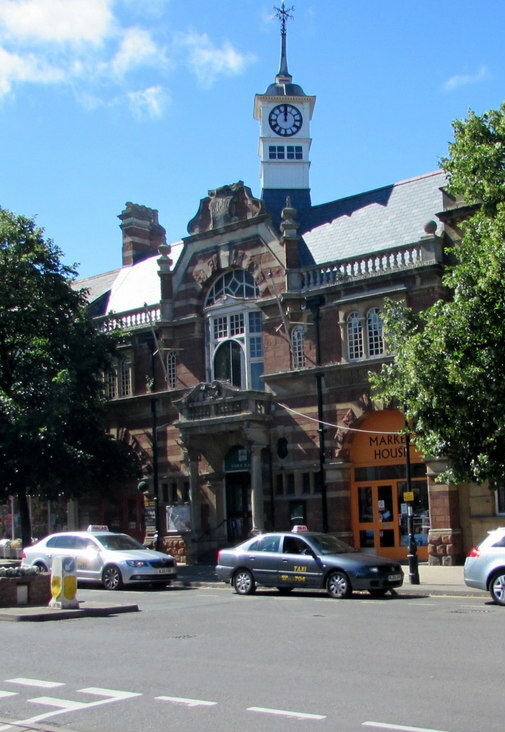
Minehead Town Hall
Minehead Town Hall is a municipal building in The Parade, Minehead, Somerset, England. The structure, which is the meeting place of Minehead Town Council...

Chapel of St Leonard, Tivington
The Anglican Chapel of St Leonard in Tivington, Somerset, England was built in the mid 14th century as a chapel of ease. It is a Grade II* listed building...
Nearby Amenities
Located within 500m of 51.199745,-3.5021638Have you been to Periton Brake?
Leave your review of Periton Brake below (or comments, questions and feedback).