Storridge Wood

Wood, Forest in Somerset Somerset West and Taunton

England

Storridge Wood

Footpath heading up hill near Venn
Footpath heading up hill near Venn Credit: Rob Purvis

Storridge Wood is a picturesque woodland located in the county of Somerset, England. Spread across an area of approximately 50 acres, this enchanting forest offers visitors a tranquil and serene escape from the hustle and bustle of everyday life.

The woodland is known for its diverse range of tree species, with towering oak, beech, and ash trees dominating the landscape. The canopy of foliage provides a shady retreat during the summer months and a stunning display of colors during the autumn season. The forest floor is blanketed with a rich carpet of bluebells in the spring, creating a breathtaking sight for nature enthusiasts.

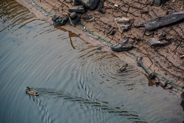
Nature lovers will delight in the abundance of wildlife that calls Storridge Wood home. The forest is a haven for numerous bird species, including woodpeckers, owls, and various songbirds. Visitors may also be fortunate enough to catch a glimpse of the elusive deer or fox that roam the woodland.

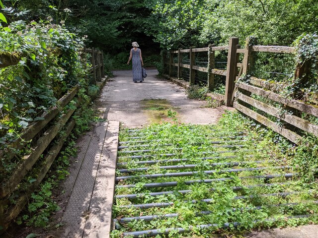
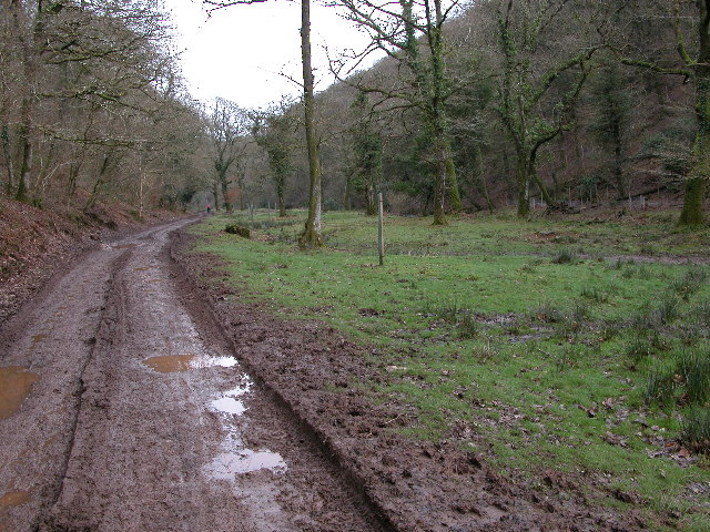
Storridge Wood offers a network of walking trails, allowing visitors to explore the forest at their own pace. These well-maintained paths wind through the woodland, guiding visitors past ancient trees, babbling brooks, and hidden clearings. The trails are suitable for all abilities, making it an ideal destination for families and avid hikers alike.

The woodland is easily accessible, with a car park located nearby. There are also picnic areas and benches scattered throughout the forest, providing visitors with the perfect opportunity to relax and immerse themselves in the natural beauty of Storridge Wood.

If you have any feedback on the listing, please let us know in the comments section below.

Storridge Wood Images

Images are sourced within 2km of 51.053266/-3.5032823 or Grid Reference SS9429. Thanks to Geograph Open Source API. All images are credited.

Footpath heading up hill near Venn
Fields and woodland near Venn
Wimbleball dam spillway and fields
Wimbleball dam and woodland
River below Wimbleball dam, looking west
Cattle grid and bridge in Hartford Bottom
Brompton Regis : Wimbleball Dam Looking down towards the water. It's normally a lot higher.
Brompton Regis : Wimbleball Dam
Looking down towards the water. It's normally a lot higher.
Brompton Regis : Wimbleball Lake The 161 feet (49 m) high dam is of concrete buttress construction and impounds the River Haddeo to provide a water storage capacity of some 21,000 megalitres over an area of 374 acres (1.51 km2)
Brompton Regis : Wimbleball Lake
The 161 feet (49 m) high dam is of concrete buttress construction and impounds the River Haddeo to provide a water storage capacity of some 21,000 megalitres over an area of 374 acres (1.51 km2)
Brompton Regis : Wimbleball Lake Managed by the charity South West Lakes Trust, the lake offers a popular location for walking, camping, birdwatching, angling, sailing, windsurfing, canoeing, rowing and kayaking.
Brompton Regis : Wimbleball Lake
Managed by the charity South West Lakes Trust, the lake offers a popular location for walking, camping, birdwatching, angling, sailing, windsurfing, canoeing, rowing and kayaking.
Brompton Regis : Wimbleball Lake Some ducks on the banks of the water.
Brompton Regis : Wimbleball Lake
Some ducks on the banks of the water.
Brompton Regis : Wimbleball Lake The lake is almost at less than 50 per cent capacity.
Brompton Regis : Wimbleball Lake
The lake is almost at less than 50 per cent capacity.
Brompton Regis : Wimbleball Dam The opposite side of the lake where the River Hadeo flows.
Brompton Regis : Wimbleball Dam
The opposite side of the lake where the River Hadeo flows.
Brompton Regis : Wimbleball Lake The lake is almost at less than 20 per cent capacity.
Brompton Regis : Wimbleball Lake
The lake is almost at less than 20 per cent capacity.
Brompton Regis : Wimbleball Lake The dam constructed in the 1970s and completed in 1979.
Brompton Regis : Wimbleball Lake
The dam constructed in the 1970s and completed in 1979.
Haddeo Valley Lady Harriet Acland's drive in the Haddeo valley near the village of Bury.
Haddeo Valley
Lady Harriet Acland's drive in the Haddeo valley near the village of Bury.
Bridge in village of Bury The bridge and ford crossing the River Haddeo in the village of Bury on Somerset.
Bridge in village of Bury
The bridge and ford crossing the River Haddeo in the village of Bury on Somerset.
Wimbleball Lake (Reservoir) View across to Wimbleball Lake, which is in fact a reservoir, from the northern slopes of Haddon Hill.
Wimbleball Lake (Reservoir)
View across to Wimbleball Lake, which is in fact a reservoir, from the northern slopes of Haddon Hill.
View south-west from Haddon Hill
Show me another place!

Storridge Wood is located at Grid Ref: SS9429 (Lat: 51.053266, Lng: -3.5032823)

Administrative County: Somerset

District: Somerset West and Taunton

Police Authority: Avon and Somerset

What 3 Words

///arose.issued.scrap. Near Dulverton, Somerset

Related Wikis

Haddon Hill

Haddon Hill is a prominent east–west aligned ridge in west Somerset, England, close to Hartford within the civil parish of Brompton Regis. It lies on the...

Bury Bridge

Bury Bridge at Bury in the parish of Brompton Regis within the English county of Somerset is a medieval packhorse bridge. It has been scheduled as an ancient...

Church of St Mary, Brompton Regis

The Anglican Church of St Mary in Brompton Regis, Somerset, England was built in the 13th century. It is a Grade II* listed building. == History == The...

Brompton Regis

Brompton Regis (formerly known as Kingsbrompton) is a village and civil parish in the Somerset West and Taunton district of Somerset, England about 5 miles...

Barlynch Priory

Barlynch Priory (also known as St Nicholas's Priory and sometimes spelled Barlich Priory) in Brompton Regis, Somerset, England was an Augustinian priory...

Bury Castle, Brompton Regis

Bury Castle near Brompton Regis in the English county of Somerset was an Iron Age univallate hillfort which was reused with the creation of a motte after...
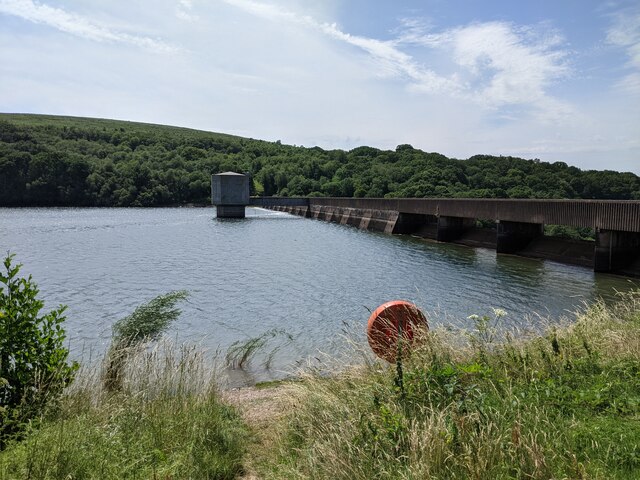
River Haddeo

The River Haddeo on Exmoor in Somerset, England flows from the Wimbleball Lake to the River Exe. The valley of the river consists of three tributary valleys...
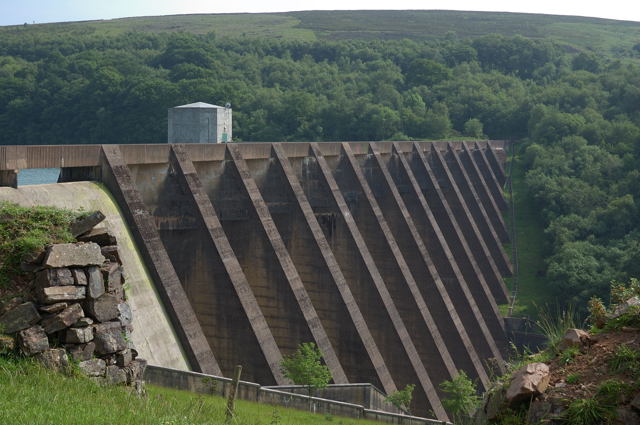
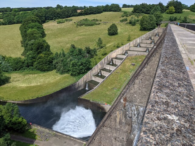
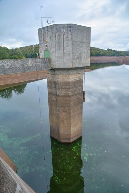
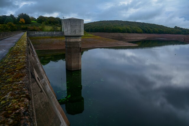
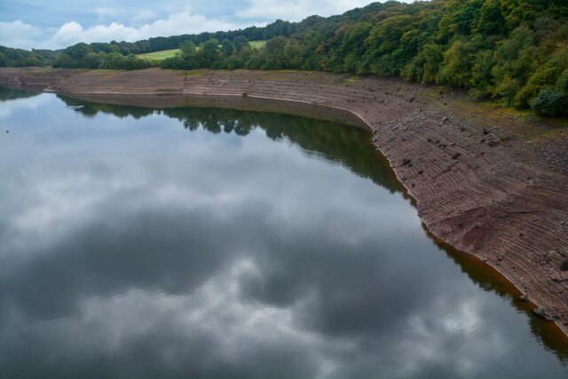
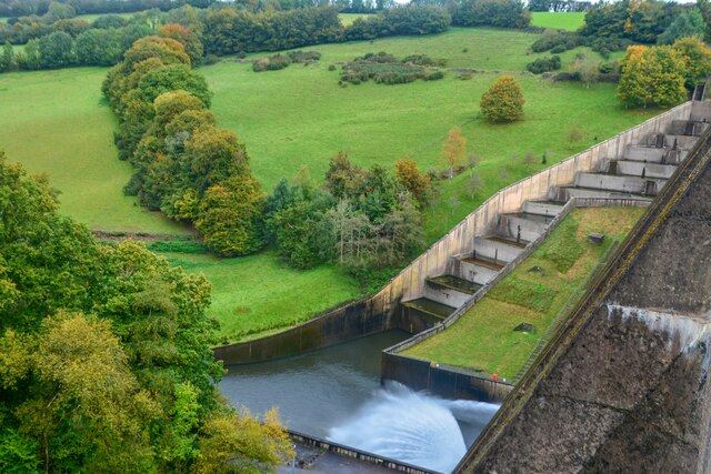
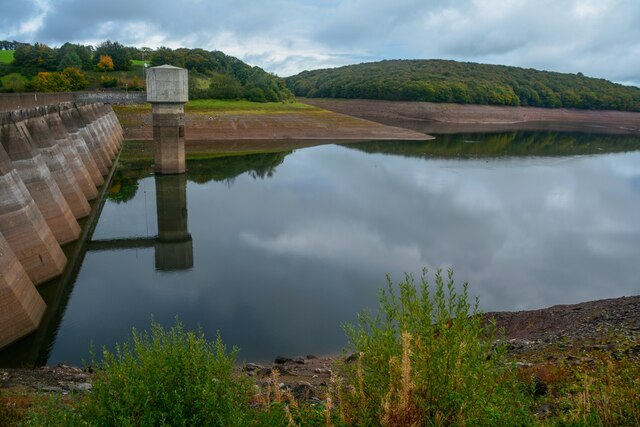
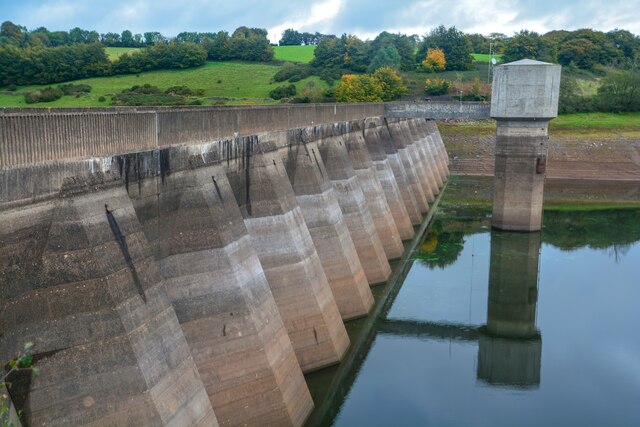
Wimbleball Lake

Wimbleball Lake on Exmoor in Somerset, England, is a water supply reservoir constructed in the 1970s and completed in 1979. The 161 feet (49 m) high dam...

Nearby Amenities

Located within 500m of 51.053266,-3.5032823
Storridge Plantations
Place: locality
Lat/Long: 51.0561805/-3.502784
Butcher's Field Plantation
Place: locality
Lat/Long: 51.0562876/-3.4984324
Hartford Bottom
Place: locality
Lat/Long: 51.054344/-3.4975921
Lyncombe Lake
Place: locality
Lat/Long: 51.0546394/-3.5069427
Vanters Cleeve Plantation
Place: locality
Lat/Long: 51.0553384/-3.5091512
Lyncombe Wood
Place: locality
Lat/Long: 51.052562/-3.5093861
Saddle Back
Place: locality
Lat/Long: 51.0517349/-3.5066608
The data included in this document is from www.openstreetmap.org. The data is made available under ODbL.

Have you been to Storridge Wood?

Leave your review of Storridge Wood below (or comments, questions and feedback).