Lyncombe Wood

Wood, Forest in Somerset Somerset West and Taunton

England

Lyncombe Wood

Footpath heading up hill near Venn
Footpath heading up hill near Venn Credit: Rob Purvis

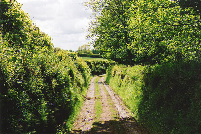
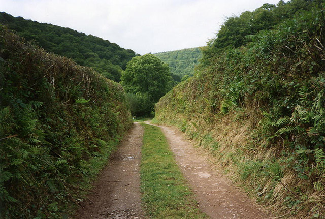
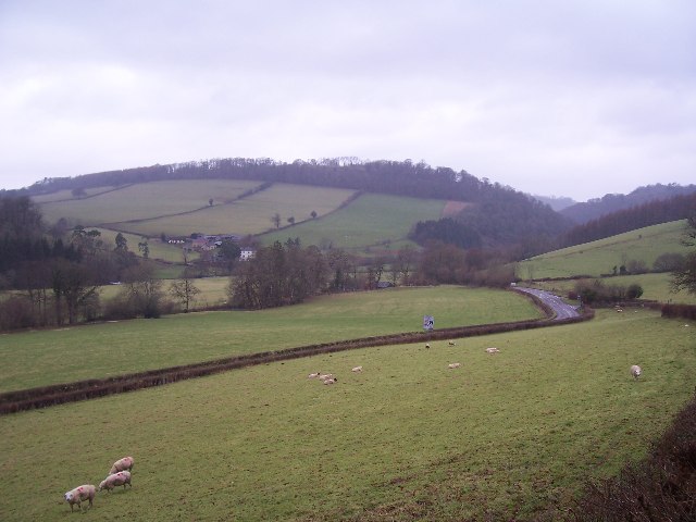
Lyncombe Wood is a picturesque woodland situated in the county of Somerset, in southwestern England. Covering an area of approximately 40 hectares, it is located on the outskirts of the city of Bath, near the suburb of Lyncombe.

This ancient woodland is characterized by its diverse range of tree species, including oak, beech, ash, and birch. The dense canopy provides a haven for a variety of wildlife, such as deer, badgers, foxes, and a multitude of bird species. Lyncombe Wood is also home to a number of rare and protected plants, including bluebells and wild garlic, which create a stunning display during the spring months.

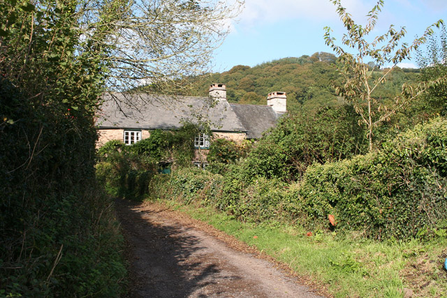
The wood offers a tranquil escape for visitors, with well-maintained footpaths that wind through the trees, allowing for leisurely walks and exploration. These paths are suitable for all abilities, and benches are strategically placed to allow for rest and contemplation. The wood is particularly popular with local residents who enjoy the peace and serenity it provides, as well as nature enthusiasts and photographers.

Managed by the local council, Lyncombe Wood is subject to conservation efforts to preserve its natural beauty and protect its rich biodiversity. Regular maintenance work is carried out to ensure the safety of visitors and to manage the woodland's ecosystem effectively.

Overall, Lyncombe Wood is a cherished natural gem in Somerset, providing a haven for wildlife and offering a peaceful retreat for those seeking solace in nature's embrace.

If you have any feedback on the listing, please let us know in the comments section below.

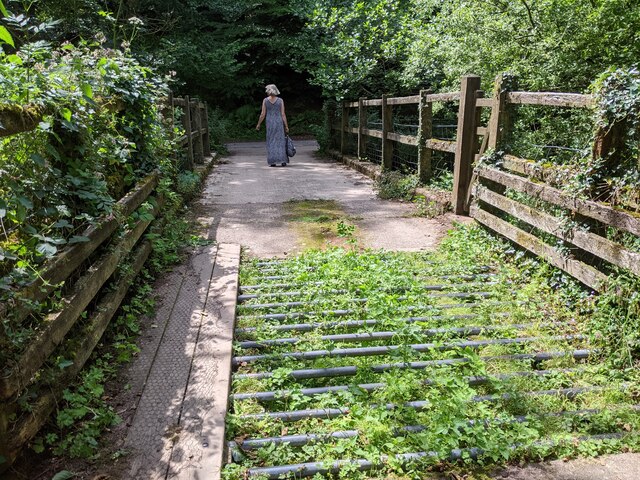
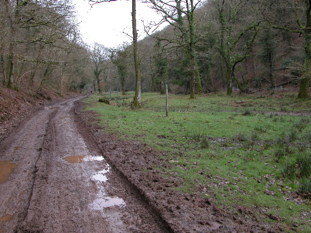
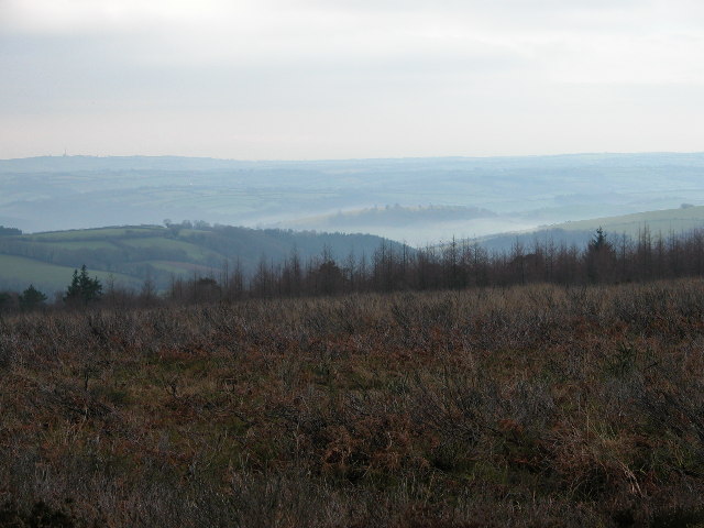
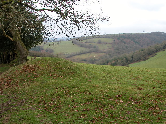
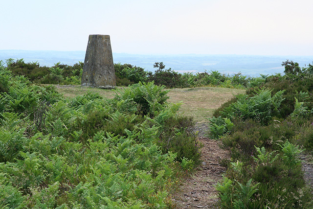
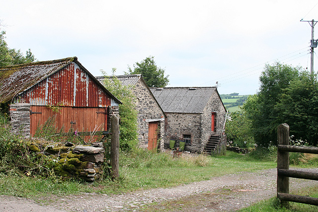
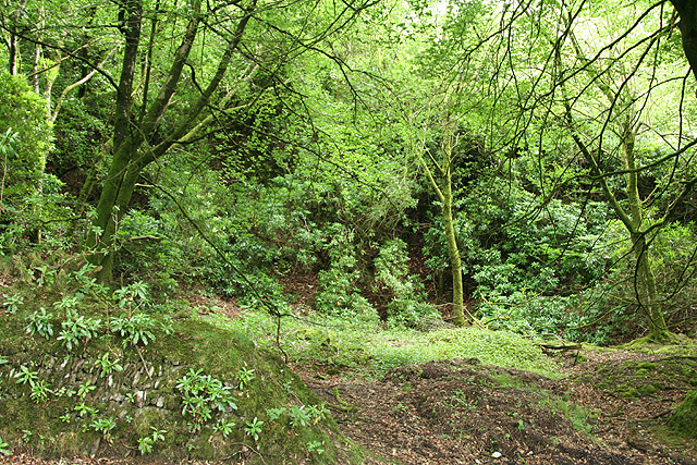
Lyncombe Wood Images

Images are sourced within 2km of 51.051719/-3.510309 or Grid Reference SS9429. Thanks to Geograph Open Source API. All images are credited.

Footpath heading up hill near Venn
Fields and woodland near Venn
River below Wimbleball dam, looking west
Cattle grid and bridge in Hartford Bottom
Haddeo Valley Lady Harriet Acland's drive in the Haddeo valley near the village of Bury.
Haddeo Valley
Lady Harriet Acland's drive in the Haddeo valley near the village of Bury.
Bridge in village of Bury The bridge and ford crossing the River Haddeo in the village of Bury on Somerset.
Bridge in village of Bury
The bridge and ford crossing the River Haddeo in the village of Bury on Somerset.
View south-west from Haddon Hill
Haddeo Valley The Haddeo valley viewed from the Haddon Lane, above the village of Bury.
Haddeo Valley
The Haddeo valley viewed from the Haddon Lane, above the village of Bury.
Dulverton: track running south to Jury Cross The track appears to head towards Pixton Park, just beyond Jury Cross
Dulverton: track running south to Jury Cross
The track appears to head towards Pixton Park, just beyond Jury Cross
Brompton Regis: ford at Hartford The ford is a crossing of the Pulham River, a tributary of the Haddeo. The location was revisited by the photographer in October 2005 and in all essentials the view remains the same, although the light conditions did not obtain
Brompton Regis: ford at Hartford
The ford is a crossing of the Pulham River, a tributary of the Haddeo. The location was revisited by the photographer in October 2005 and in all essentials the view remains the same, although the light conditions did not obtain
Brompton Regis: ford and packhorse bridge at Bury Crossing the river Haddeo, a tributary of the Exe
Brompton Regis: ford and packhorse bridge at Bury
Crossing the river Haddeo, a tributary of the Exe
Brompton Regis: Hunt’s Farm The farm offers bed and breakfast and has organic eggs for sale
Brompton Regis: Hunt’s Farm
The farm offers bed and breakfast and has organic eggs for sale
Brompton Regis: Hartford Track and bridleway in the Haddeo valley leading to Bury. Looking west
Brompton Regis: Hartford
Track and bridleway in the Haddeo valley leading to Bury. Looking west
Machine Cross The road junction 'Machine Cross', and the Exe valley. The river Exe flows south along the far (western) edge of the valley floor.
Machine Cross
The road junction 'Machine Cross', and the Exe valley. The river Exe flows south along the far (western) edge of the valley floor.
Brompton Regis: trig point at Hadborough On Haddon Hill, looking west-south-west
Brompton Regis: trig point at Hadborough
On Haddon Hill, looking west-south-west
Dulverton: Stockham Former farm buildings. Looking east-north-east
Dulverton: Stockham
Former farm buildings. Looking east-north-east
Brompton Regis: the A396 in the Exe Valley River and road adjoin. Looking west-south-west on the edge of Brockhole Wood
Brompton Regis: the A396 in the Exe Valley
River and road adjoin. Looking west-south-west on the edge of Brockhole Wood
Brompton Regis: old quarry On Bury Hill by the road from Machine Cross, and now populated with rhododendrons. Looking north east
Brompton Regis: old quarry
On Bury Hill by the road from Machine Cross, and now populated with rhododendrons. Looking north east
Show me another place!

Lyncombe Wood is located at Grid Ref: SS9429 (Lat: 51.051719, Lng: -3.510309)

Administrative County: Somerset

District: Somerset West and Taunton

Police Authority: Avon and Somerset

What 3 Words

///expensive.invoices.mammals. Near Dulverton, Somerset

Related Wikis

Bury Bridge

Bury Bridge at Bury in the parish of Brompton Regis within the English county of Somerset is a medieval packhorse bridge. It has been scheduled as an ancient...

Barlynch Priory

Barlynch Priory (also known as St Nicholas's Priory and sometimes spelled Barlich Priory) in Brompton Regis, Somerset, England was an Augustinian priory...

Haddon Hill

Haddon Hill is a prominent east–west aligned ridge in west Somerset, England, close to Hartford within the civil parish of Brompton Regis. It lies on the...

Bury Castle, Brompton Regis

Bury Castle near Brompton Regis in the English county of Somerset was an Iron Age univallate hillfort which was reused with the creation of a motte after...

Church of St Mary, Brompton Regis

The Anglican Church of St Mary in Brompton Regis, Somerset, England was built in the 13th century. It is a Grade II* listed building. == History == The...

River Haddeo

The River Haddeo on Exmoor in Somerset, England flows from the Wimbleball Lake to the River Exe. The valley of the river consists of three tributary valleys...

Brompton Regis

Brompton Regis (formerly known as Kingsbrompton) is a village and civil parish in the Somerset West and Taunton district of Somerset, England about 5 miles...

Dulverton Rural District

Dulverton was a rural district in Somerset, England, from 1894 to 1974. It was created in 1894 under the Local Government Act 1894. In 1974 it was abolished...

Nearby Amenities

Located within 500m of 51.051719,-3.510309
Lyncombe Lake
Place: locality
Lat/Long: 51.0546394/-3.5069427
Vanters Cleeve Plantation
Place: locality
Lat/Long: 51.0553384/-3.5091512
Lyncombe Wood
Place: locality
Lat/Long: 51.052562/-3.5093861
Saddle Back
Place: locality
Lat/Long: 51.0517349/-3.5066608
Butter Ball
Place: locality
Lat/Long: 51.04949/-3.5122524
The Slade
Place: locality
Lat/Long: 51.0482493/-3.5124873
Padwell Plantation
Place: locality
Lat/Long: 51.0510486/-3.5146718
The data included in this document is from www.openstreetmap.org. The data is made available under ODbL.

Have you been to Lyncombe Wood?

Leave your review of Lyncombe Wood below (or comments, questions and feedback).