Storridge Hill
Hill, Mountain in Somerset Somerset West and Taunton
England
Storridge Hill

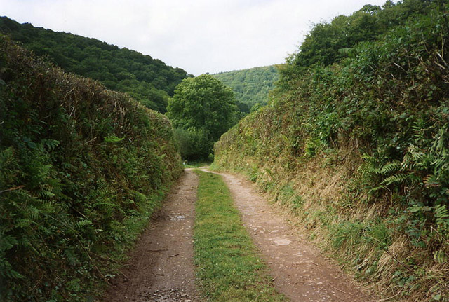
Storridge Hill is a prominent geographical feature located in the county of Somerset, England. Situated near the village of Storridge, the hill is part of the wider Malvern Hills range, which stretches across the border between England and Wales. While not classified as a mountain, it still offers impressive elevation and scenic views.
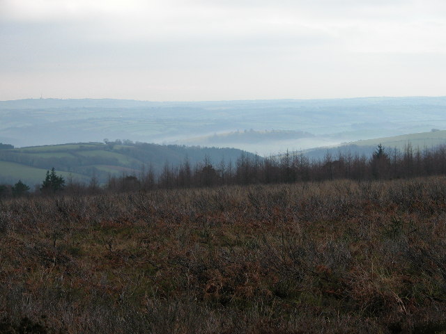
Rising to a height of approximately 328 meters (1,076 feet), Storridge Hill is a popular destination for outdoor enthusiasts and nature lovers. The hill is characterized by its distinctive shape, with a gently sloping eastern side and a steeper western face. Its summit provides panoramic vistas of the surrounding countryside, including the picturesque Malvern Hills and the Herefordshire Plain.
Storridge Hill is primarily composed of sedimentary rocks, notably sandstone and limestone, which contribute to its unique physical characteristics. The hill is also home to a diverse range of flora and fauna, with heathland, grassland, and woodland habitats providing a haven for various species. Visitors can expect to encounter a variety of wildflowers, butterflies, and birds while exploring the hill.
The area surrounding Storridge Hill is rich in history, with evidence of human activity dating back thousands of years. Archaeological remains, including Iron Age hillforts and Bronze Age burial mounds, can be found in the vicinity, offering insights into the region's ancient past.
Overall, Storridge Hill is a scenic and historically significant landmark in Somerset, attracting visitors who seek to enjoy its natural beauty and explore its cultural heritage.
If you have any feedback on the listing, please let us know in the comments section below.
Storridge Hill Images
Images are sourced within 2km of 51.05913/-3.5039289 or Grid Reference SS9429. Thanks to Geograph Open Source API. All images are credited.


Storridge Hill is located at Grid Ref: SS9429 (Lat: 51.05913, Lng: -3.5039289)
Administrative County: Somerset
District: Somerset West and Taunton
Police Authority: Avon and Somerset
What 3 Words
///amending.soulful.lowest. Near Dulverton, Somerset
Related Wikis

Church of St Mary, Brompton Regis
The Anglican Church of St Mary in Brompton Regis, Somerset, England was built in the 13th century. It is a Grade II* listed building. == History == The...

Brompton Regis
Brompton Regis (formerly known as Kingsbrompton) is a village and civil parish in the Somerset West and Taunton district of Somerset, England about 5 miles...

Haddon Hill
Haddon Hill is a prominent east–west aligned ridge in west Somerset, England, close to Hartford within the civil parish of Brompton Regis. It lies on the...

Bury Bridge
Bury Bridge at Bury in the parish of Brompton Regis within the English county of Somerset is a medieval packhorse bridge. It has been scheduled as an ancient...

Barlynch Priory
Barlynch Priory (also known as St Nicholas's Priory and sometimes spelled Barlich Priory) in Brompton Regis, Somerset, England was an Augustinian priory...
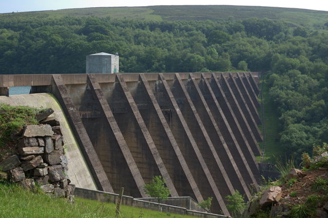
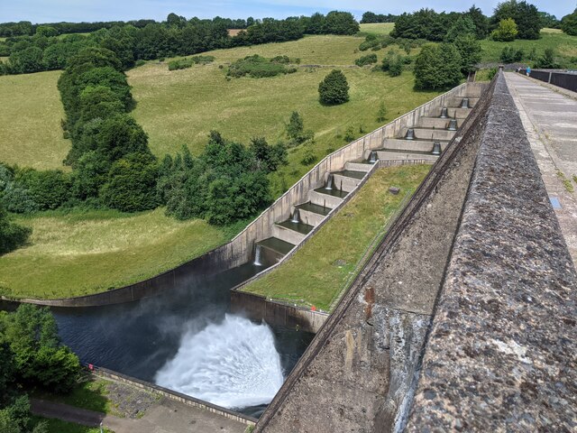
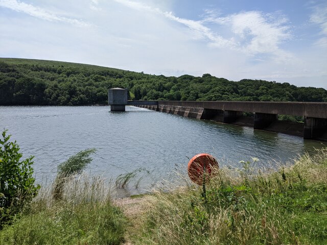
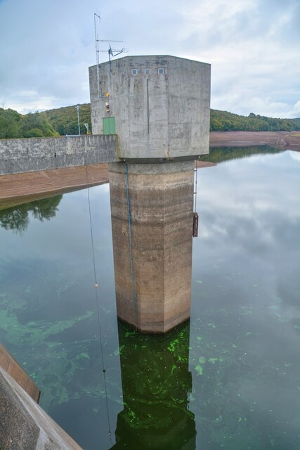
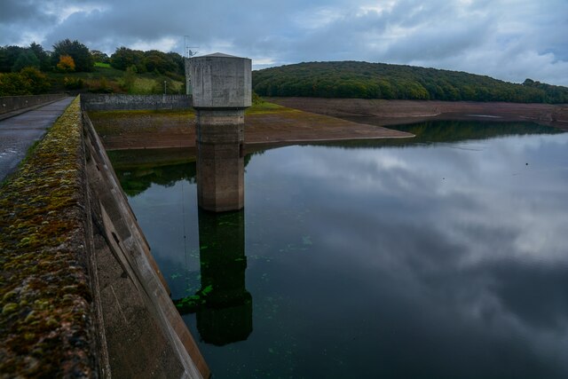
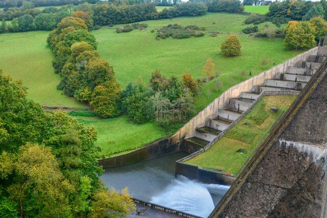
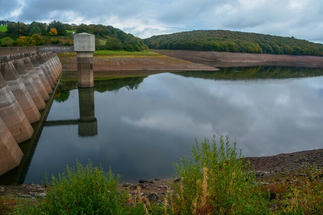
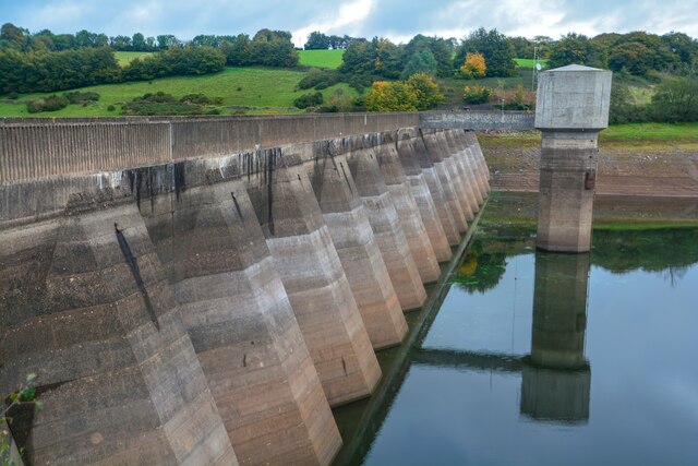
Wimbleball Lake
Wimbleball Lake on Exmoor in Somerset, England, is a water supply reservoir constructed in the 1970s and completed in 1979. The 161 feet (49 m) high dam...
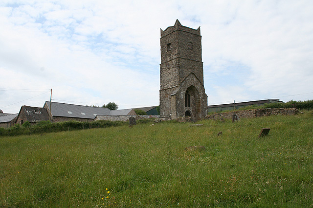
Old Church of St James, Upton
The Old St James's Church is a former church in the village of Upton, Somerset, England, of which only the tower remains, overlooking Wimbleball Lake....

Bury Castle, Brompton Regis
Bury Castle near Brompton Regis in the English county of Somerset was an Iron Age univallate hillfort which was reused with the creation of a motte after...
Nearby Amenities
Located within 500m of 51.05913,-3.5039289Have you been to Storridge Hill?
Leave your review of Storridge Hill below (or comments, questions and feedback).