Furze Cleeve Wood
Wood, Forest in Somerset Somerset West and Taunton
England
Furze Cleeve Wood
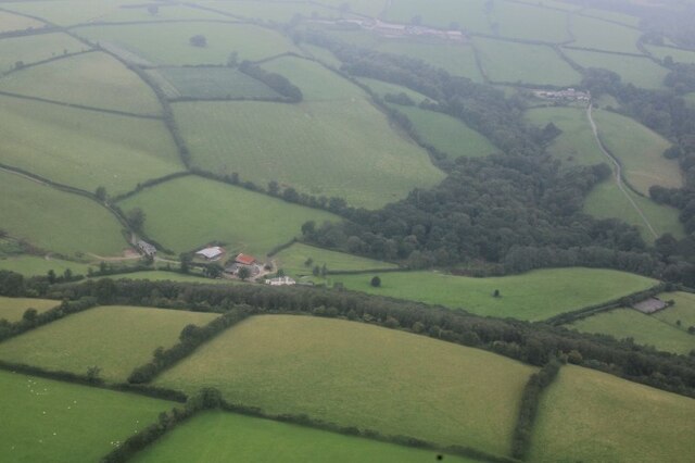
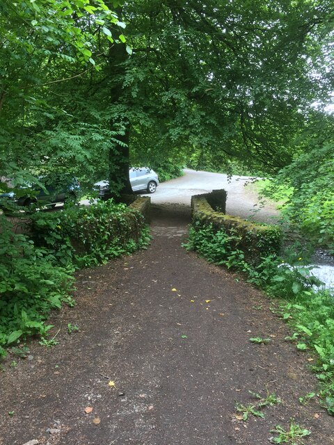
Furze Cleeve Wood is a picturesque woodland located in Somerset, England. Covering an area of approximately 50 acres, it is nestled within the Mendip Hills, offering visitors a tranquil and scenic escape from the bustling city life.
The wood is predominantly made up of native broadleaf trees, including oak, beech, and ash, creating a diverse and rich ecosystem. These trees provide a habitat for a variety of wildlife species, such as deer, badgers, and a wide range of bird species, making it an ideal place for nature enthusiasts and birdwatchers.
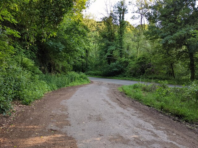
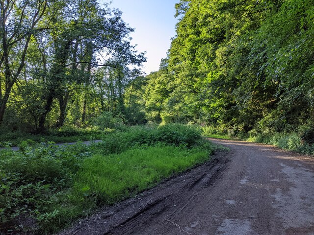
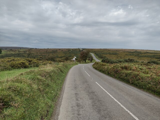
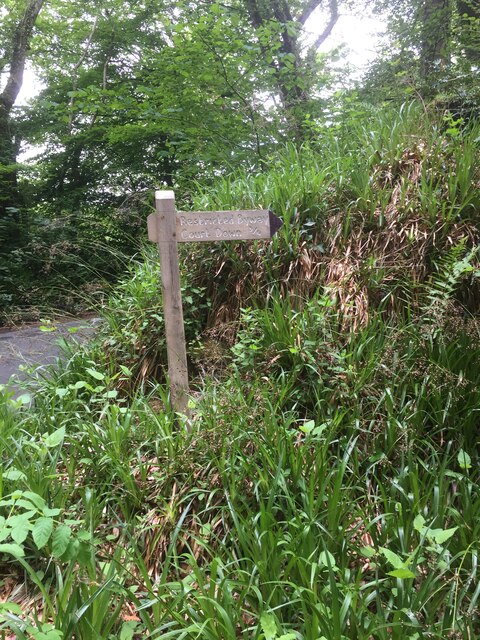
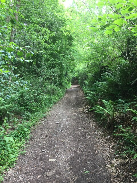
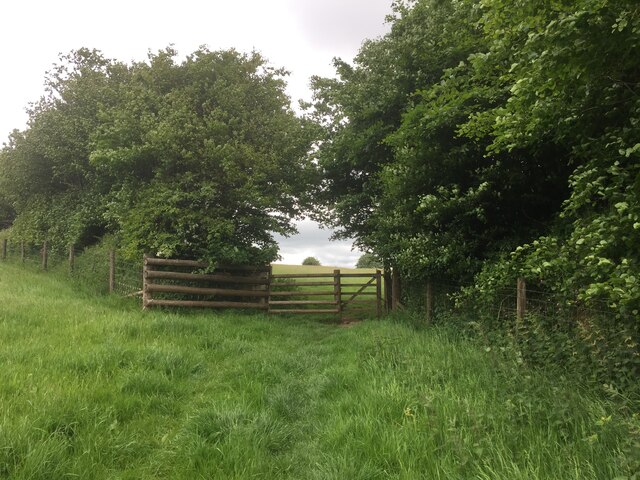
The wood is crisscrossed with a network of walking trails, allowing visitors to explore and immerse themselves in the natural beauty of the area. These paths are well-maintained and suitable for all ages and abilities, making it a popular destination for families and walkers alike.
In addition to its natural beauty, Furze Cleeve Wood also holds significant historical and cultural importance. It is believed to have been part of a larger ancient woodland that dates back thousands of years. The wood is said to have provided resources for local communities throughout history, including timber for construction and firewood.
Today, Furze Cleeve Wood is managed by the Forestry Commission, who work to preserve and enhance the woodland's natural habitat. The commission also organizes educational events and activities, helping to raise awareness about the importance of conservation and sustainable forest management.
Overall, Furze Cleeve Wood offers visitors a peaceful and enchanting experience, where they can connect with nature, learn about the area's history, and enjoy the beauty of Somerset's countryside.
If you have any feedback on the listing, please let us know in the comments section below.
Furze Cleeve Wood Images
Images are sourced within 2km of 51.047837/-3.5438231 or Grid Reference SS9128. Thanks to Geograph Open Source API. All images are credited.


Furze Cleeve Wood is located at Grid Ref: SS9128 (Lat: 51.047837, Lng: -3.5438231)
Administrative County: Somerset
District: Somerset West and Taunton
Police Authority: Avon and Somerset
What 3 Words
///takeover.believer.forwarded. Near Dulverton, Somerset
Nearby Locations
Related Wikis

Dulverton Rural District
Dulverton was a rural district in Somerset, England, from 1894 to 1974. It was created in 1894 under the Local Government Act 1894. In 1974 it was abolished...

Dulverton
Dulverton is a town and civil parish in west Somerset, England, near the border with Devon. The town had a population of 1,408 at the 2011 Census. The...
Barlynch Priory
Barlynch Priory (also known as St Nicholas's Priory and sometimes spelled Barlich Priory) in Brompton Regis, Somerset, England was an Augustinian priory...

Church of All Saints, Dulverton
The Anglican Church of All Saints in Dulverton, Somerset, England was built in the 15th century and largely rebuilt in the 1850s. It is a Grade II* listed...

Dulverton Town Hall
Dulverton Town Hall is a municipal building in Fore Street in Dulverton, Somerset, England. The building, which is the meeting place of Dulverton Town...

Oldberry Castle
Oldberry Castle (sometimes called Oldbury Castle) is an Iron Age hill fort north west of Dulverton, Somerset, England. It lies approximately 0.5 miles...

Barle Bridge
Barle Bridge is a five span stone arch bridge over the River Barle in Dulverton within the English county of Somerset, which is medieval in origin. It...
Northmoor, Dulverton
Northmoor is an historic estate in the parish of Dulverton in Somerset, England. The Victorian mansion house known as Northmoor House is set amongst steep...
Nearby Amenities
Located within 500m of 51.047837,-3.5438231Have you been to Furze Cleeve Wood?
Leave your review of Furze Cleeve Wood below (or comments, questions and feedback).