Burridge Wood
Wood, Forest in Somerset Somerset West and Taunton
England
Burridge Wood
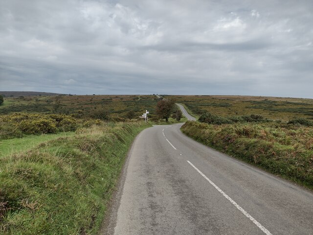
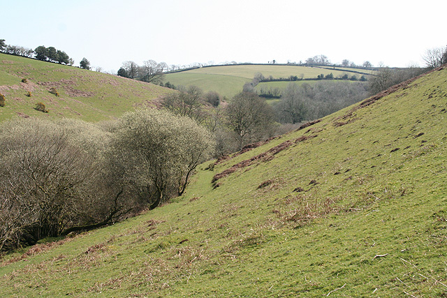
Burridge Wood is a charming forest located in Somerset, England. Spanning over an expansive area, this woodland is a haven for nature enthusiasts and those seeking tranquility amidst the beauty of the countryside. The wood is situated near the village of Burridge, surrounded by rolling hills and picturesque landscapes.
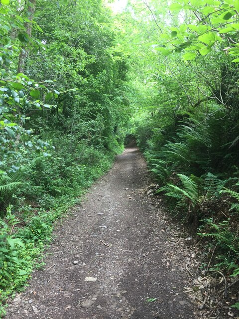
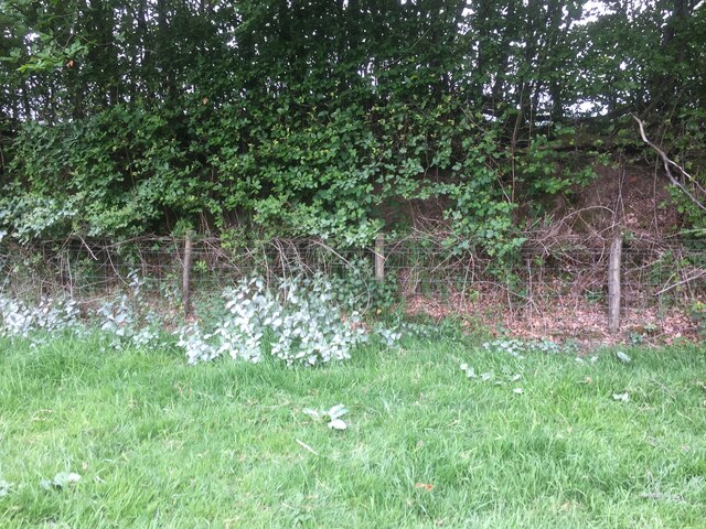
As one ventures into Burridge Wood, they are greeted with a diverse range of tree species, creating a lush and vibrant environment. Oak, beech, and hazel trees dominate the wood, their canopies interlocking to form a dense canopy that filters the sunlight, creating a magical play of light and shadow on the forest floor.
The forest is home to a rich variety of wildlife, making it a popular spot for birdwatching and animal spotting. Birdsong fills the air as woodpeckers, nuthatches, and robins flit amongst the branches. Mammals such as deer, foxes, and badgers can also be spotted, adding to the natural charm of the wood.
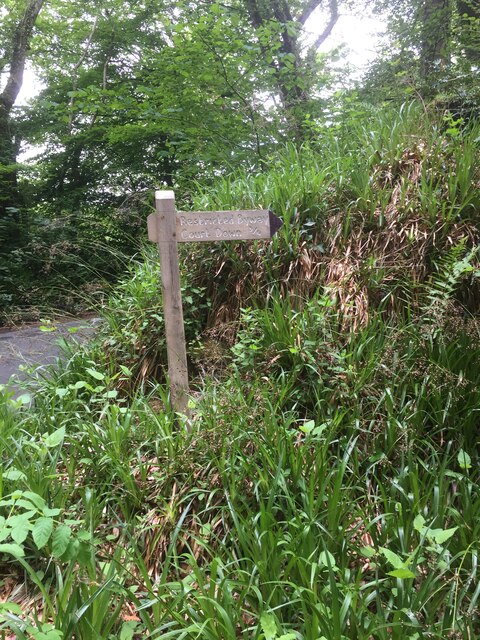
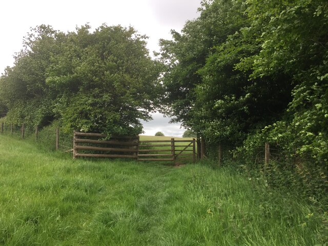
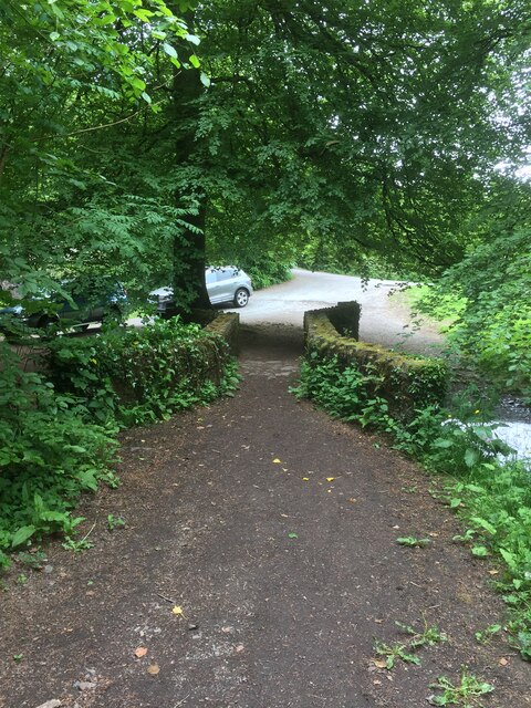
Tranquil footpaths wind through the forest, providing visitors with the opportunity to explore and immerse themselves in the woodland atmosphere. The paths lead to hidden clearings and peaceful glades, perfect for a picnic or a moment of quiet reflection.
Burridge Wood is a protected area, ensuring the preservation of its natural beauty for future generations to enjoy. The Woodland Trust, along with local conservation groups, actively work to maintain and enhance the forest's ecosystem.
Overall, Burridge Wood is a captivating and picturesque woodland that offers visitors a chance to connect with nature and experience the tranquility of the Somerset countryside.
If you have any feedback on the listing, please let us know in the comments section below.
Burridge Wood Images
Images are sourced within 2km of 51.044632/-3.5542159 or Grid Reference SS9128. Thanks to Geograph Open Source API. All images are credited.


Burridge Wood is located at Grid Ref: SS9128 (Lat: 51.044632, Lng: -3.5542159)
Administrative County: Somerset
District: Somerset West and Taunton
Police Authority: Avon and Somerset
What 3 Words
///aimlessly.zones.elevator. Near Dulverton, Somerset
Nearby Locations
Related Wikis

Oldberry Castle
Oldberry Castle (sometimes called Oldbury Castle) is an Iron Age hill fort north west of Dulverton, Somerset, England. It lies approximately 0.5 miles...

Dulverton
Dulverton is a town and civil parish in west Somerset, England, near the border with Devon. The town had a population of 1,408 at the 2011 Census. The...

Dulverton Rural District
Dulverton was a rural district in Somerset, England, from 1894 to 1974. It was created in 1894 under the Local Government Act 1894. In 1974 it was abolished...

Church of All Saints, Dulverton
The Anglican Church of All Saints in Dulverton, Somerset, England was built in the 15th century and largely rebuilt in the 1850s. It is a Grade II* listed...

Dulverton Town Hall
Dulverton Town Hall is a municipal building in Fore Street in Dulverton, Somerset, England. The building, which is the meeting place of Dulverton Town...

Barle Bridge
Barle Bridge is a five span stone arch bridge over the River Barle in Dulverton within the English county of Somerset, which is medieval in origin. It...
Northmoor, Dulverton
Northmoor is an historic estate in the parish of Dulverton in Somerset, England. The Victorian mansion house known as Northmoor House is set amongst steep...
Barlynch Priory
Barlynch Priory (also known as St Nicholas's Priory and sometimes spelled Barlich Priory) in Brompton Regis, Somerset, England was an Augustinian priory...
Nearby Amenities
Located within 500m of 51.044632,-3.5542159Have you been to Burridge Wood?
Leave your review of Burridge Wood below (or comments, questions and feedback).