Jubilee Copse
Wood, Forest in Devon Exeter
England
Jubilee Copse
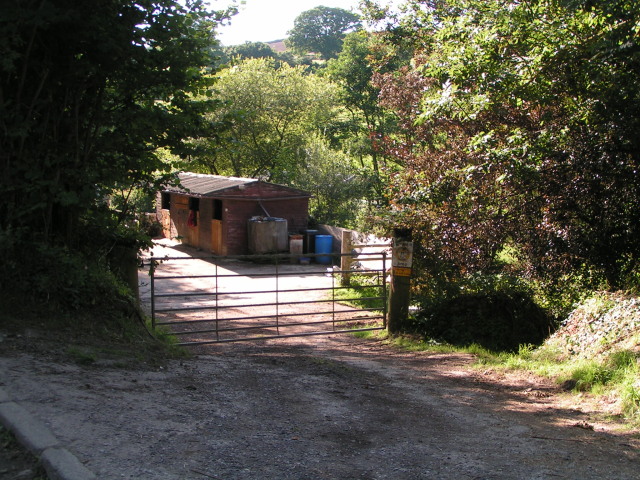
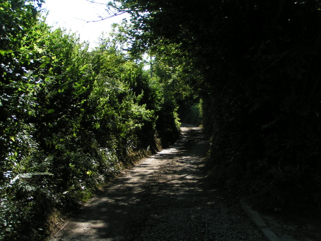
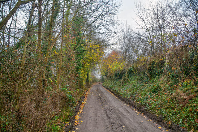
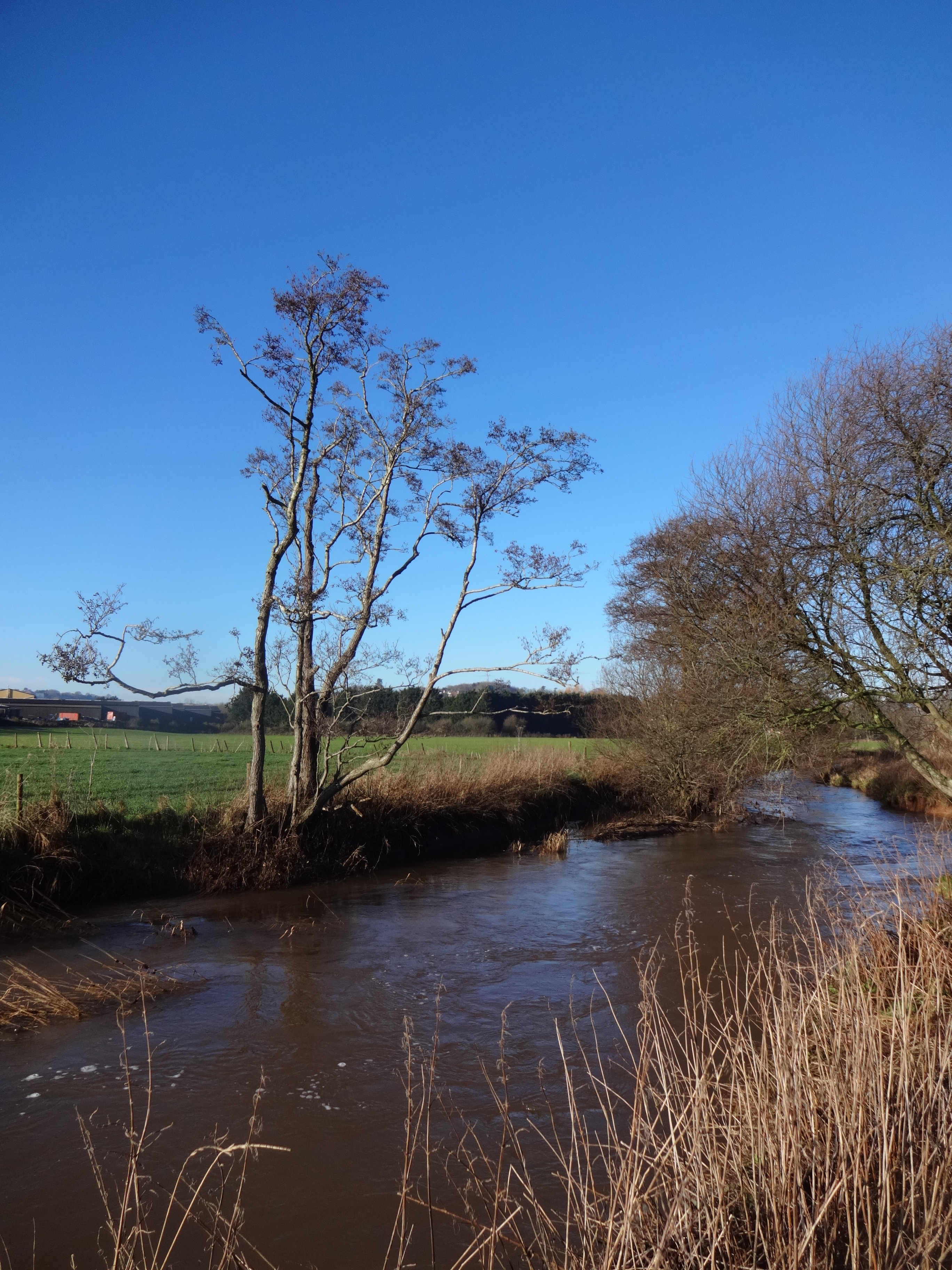
Jubilee Copse is a picturesque woodland located in Devon, England. Spread across an area of approximately 50 acres, this enchanting forest is a haven for nature lovers and outdoor enthusiasts. The copse is characterized by a diverse range of trees, including oak, beech, and ash, creating a vibrant and lush environment.
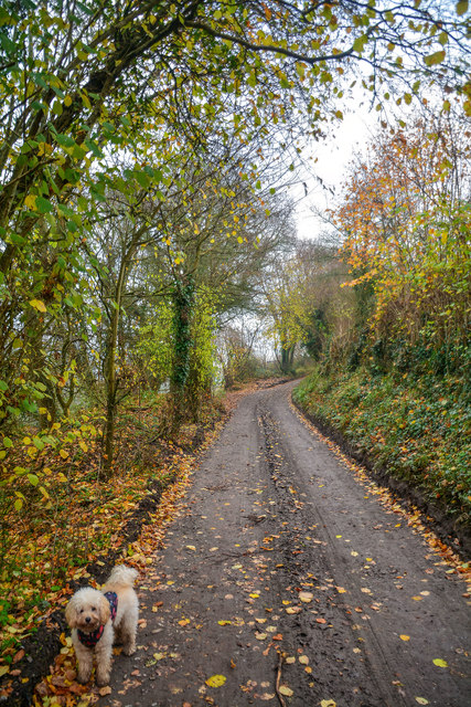
The forest floor is adorned with a carpet of wildflowers, adding bursts of color to the landscape. Visitors can enjoy a leisurely stroll along the meandering pathways, immersing themselves in the tranquility of the surroundings. The copse also features a small stream that winds its way through the trees, providing a soothing soundtrack to the experience.
Jubilee Copse is home to a rich and varied wildlife population. Birdwatchers can spot a variety of species, including woodpeckers, thrushes, and owls, while small mammals like squirrels and rabbits scurry through the undergrowth. In the spring and summer months, the copse comes alive with the sounds of chirping birds and buzzing insects, creating a symphony of nature.
The copse is open to the public year-round and offers various amenities to enhance the visitor experience. There are designated picnic areas where visitors can relax and enjoy a meal amidst the serene surroundings. Additionally, there are well-maintained paths and benches strategically placed throughout the copse to ensure accessibility for all.
Overall, Jubilee Copse in Devon is a hidden gem that offers a peaceful retreat from the hustle and bustle of everyday life. Its natural beauty and diverse ecosystem make it an ideal destination for those seeking a close connection with nature.
If you have any feedback on the listing, please let us know in the comments section below.
Jubilee Copse Images
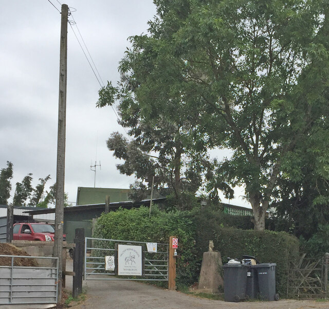
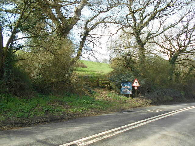
Images are sourced within 2km of 50.74858/-3.5339133 or Grid Reference SX9195. Thanks to Geograph Open Source API. All images are credited.


Jubilee Copse is located at Grid Ref: SX9195 (Lat: 50.74858, Lng: -3.5339133)
Administrative County: Devon
District: Exeter
Police Authority: Devon and Cornwall
What 3 Words
///hoping.ants.voted. Near Exeter, Devon
Nearby Locations
Related Wikis
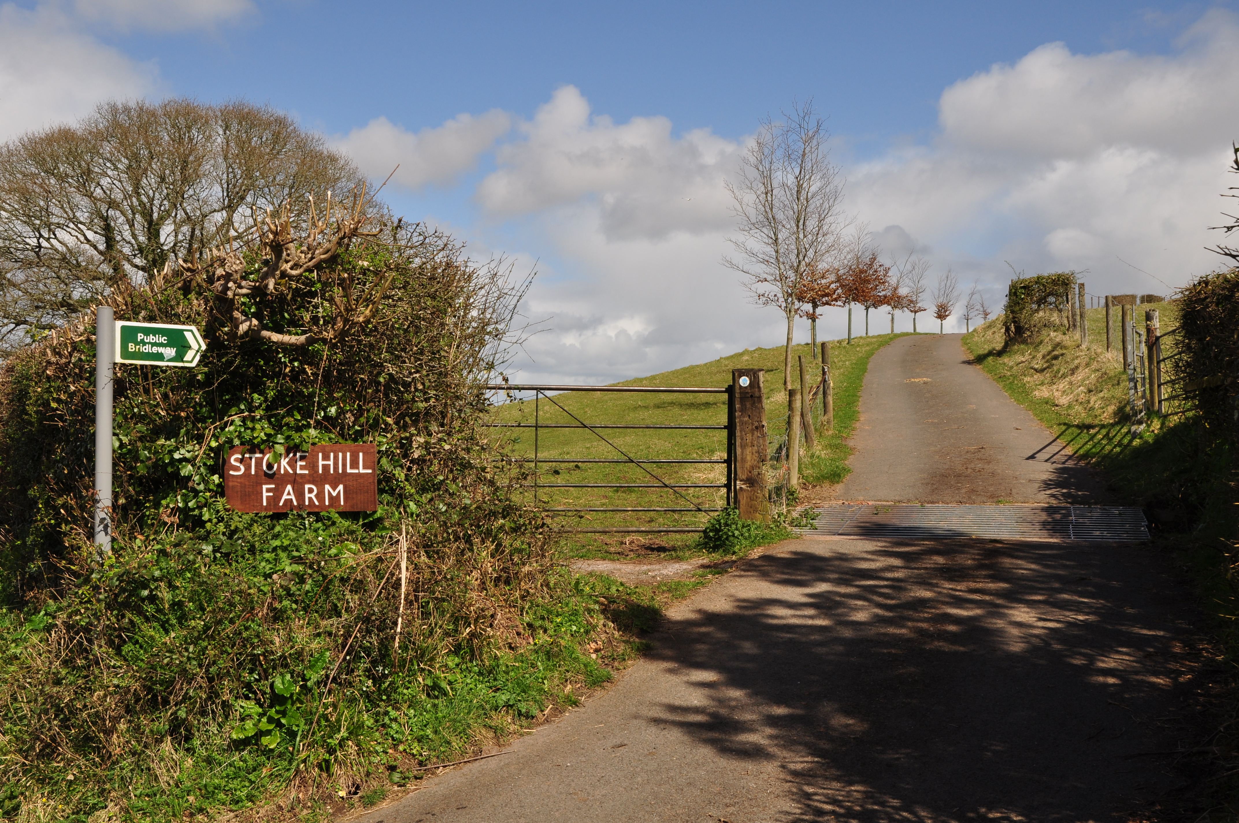
Stoke Hill
Stoke Hill is a large hill rising to the north of Exeter in Devon, England. It is significant as the site of both an Iron Age hill fort and a later Roman...
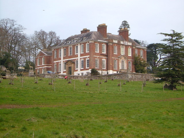
Pynes House
Pynes House is a Grade II* listed Queen Anne style country house built by Hugh Stafford between around 1700 and 1725, situated in the parish of Upton Pyne...
River Creedy
The River Creedy is a small river in Devon, England. It gives its name to the local town or ton of Crediton, which is on its west bank, and to several...

Cowley, Devon
Cowley is a hamlet in the parish of Upton Pyne in Devon, England. Cowley church was built as a chapel of ease to Brampford Speke by Rohde Hawkins in 1867...
Nearby Amenities
Located within 500m of 50.74858,-3.5339133Have you been to Jubilee Copse?
Leave your review of Jubilee Copse below (or comments, questions and feedback).