Beasley Wood

Wood, Forest in Somerset Somerset West and Taunton

England

Beasley Wood

Bridge over the River Barle at Dulverton
Bridge over the River Barle at Dulverton Credit: David Martin

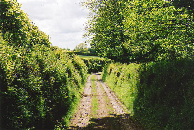
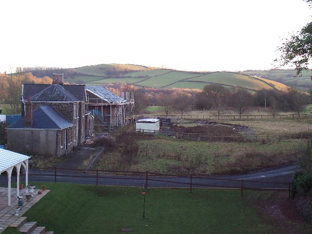
Beasley Wood is a picturesque forest located in Somerset, England. Spread over an area of approximately 200 acres, it is a haven for nature enthusiasts and outdoor lovers. The wood is situated in the southwestern part of the county, near the charming village of Beasley.

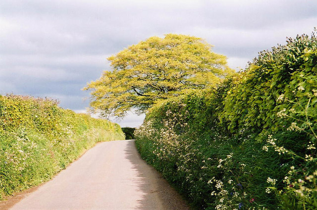
The woodland is characterized by its diverse range of tree species, including oak, birch, beech, and pine. These majestic trees provide a dense canopy, creating a serene and tranquil atmosphere within the forest. The forest floor is covered in a thick carpet of mosses, ferns, and wildflowers, adding to the enchanting beauty of the wood.

Beasley Wood offers numerous walking trails and footpaths, making it an ideal destination for hikers and walkers. These trails wind through the forest, allowing visitors to explore its hidden treasures and discover its resident wildlife. The wood is home to various species of birds, such as robins, woodpeckers, and owls, making it a great spot for birdwatching.

Throughout the year, the wood undergoes a stunning transformation with vibrant autumn foliage and colorful spring blooms. The changing seasons bring a different charm to Beasley Wood, attracting photographers and nature enthusiasts alike.

The forest is well-maintained and features picnic areas, benches, and information boards, making it family-friendly and accessible to all. It is a popular destination for day trips, where visitors can enjoy a picnic surrounded by nature's beauty.

Overall, Beasley Wood is a hidden gem in Somerset, offering a peaceful retreat from the hustle and bustle of everyday life. Its natural beauty and diverse wildlife make it a must-visit destination for anyone seeking a tranquil escape in the heart of nature.

If you have any feedback on the listing, please let us know in the comments section below.
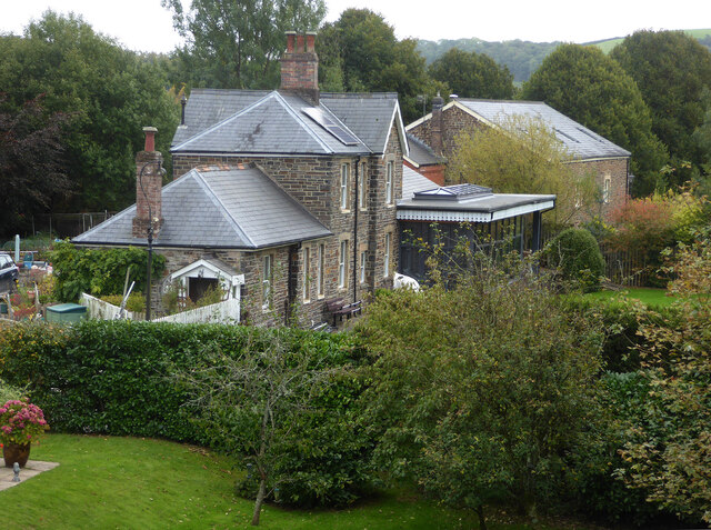
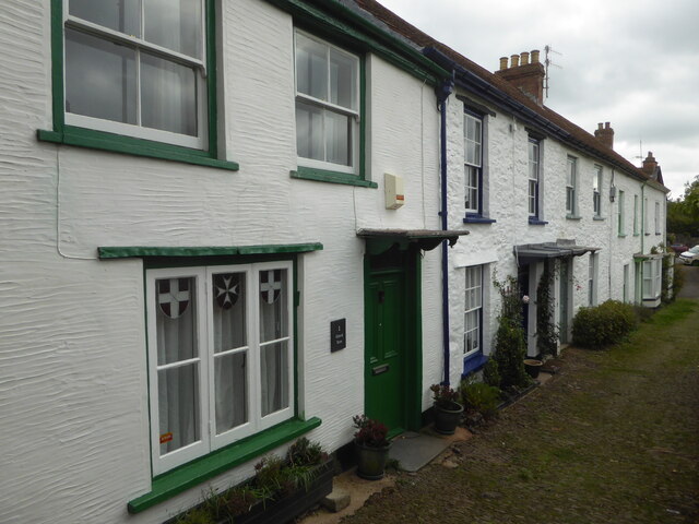
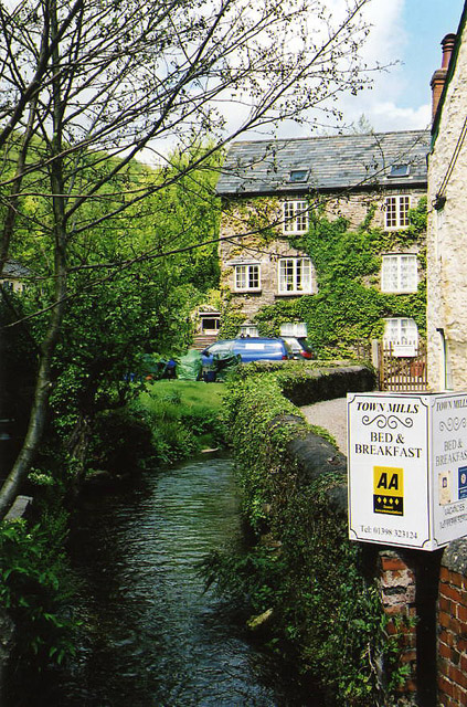
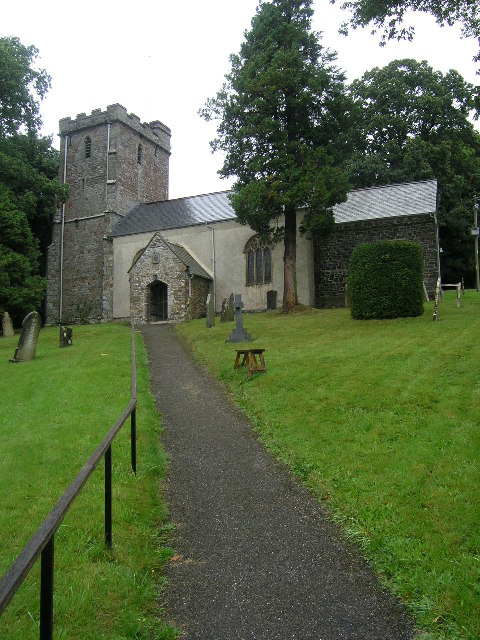
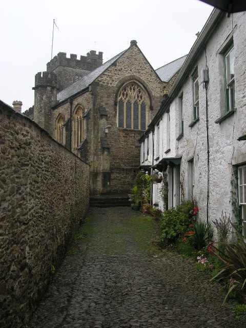
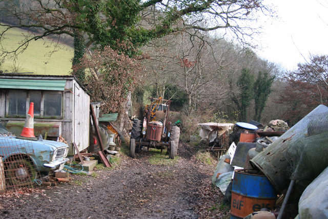
Beasley Wood Images

Images are sourced within 2km of 51.032221/-3.5434181 or Grid Reference SS9127. Thanks to Geograph Open Source API. All images are credited.

Bridge over the River Barle at Dulverton
Chapel in Dulverton
Chapel in Dulverton
Church of All Saints, Dulverton
High Street, Dulverton
Bridge over the River Barle at Dulverton
Barle Bridge, Dulverton A Grade II Listed bridge over the River Barle. Mediaeval in origin, repaired 1624, subsequently widened 1819 by J Stone, repaired 1866 and 1952-3. Five arches in random rubble. Also a Scheduled Ancient Monument.
Barle Bridge, Dulverton
A Grade II Listed bridge over the River Barle. Mediaeval in origin, repaired 1624, subsequently widened 1819 by J Stone, repaired 1866 and 1952-3. Five arches in random rubble. Also a Scheduled Ancient Monument.
Northmoor Road, Dulverton The nearest house is No. 7 and the pump and black bollard seen in the background are Listed Grade II, primarily for historic interest.
Northmoor Road, Dulverton
The nearest house is No. 7 and the pump and black bollard seen in the background are Listed Grade II, primarily for historic interest.
Former Dulverton Station Seen from a bridge over the dismantled railway line. The stationmaster's house and goods shed were built by the Devon and somerset Railway and opened in 1873. The Exe Valley Railway also had its terminus here. The station is actually about 2 miles south of Dulverton and in Brushford.
Former Dulverton Station
Seen from a bridge over the dismantled railway line. The stationmaster's house and goods shed were built by the Devon and somerset Railway and opened in 1873. The Exe Valley Railway also had its terminus here. The station is actually about 2 miles south of Dulverton and in Brushford.
1-5 Church Lane, Dulverton Terrace of 5 houses circa early to mid-19th century, although the two closest (1 and 2) are earlier. Painted stole rubble. Listed Grade II.
1-5 Church Lane, Dulverton
Terrace of 5 houses circa early to mid-19th century, although the two closest (1 and 2) are earlier. Painted stole rubble. Listed Grade II.
Dulverton: Town Mills Now offering bread and breakfast, Town Mills was once one of four mills all powered by a single leat from the river Barle. One of its waterwheels can be seen turning at Bickleigh Mill, near Tiverton
Dulverton: Town Mills
Now offering bread and breakfast, Town Mills was once one of four mills all powered by a single leat from the river Barle. One of its waterwheels can be seen turning at Bickleigh Mill, near Tiverton
Dulverton: the leat from the Barle Here the leat runs past the old paper mill, now a private house. Seen from the public footpath
Dulverton: the leat from the Barle
Here the leat runs past the old paper mill, now a private house. Seen from the public footpath
Dulverton: track running south to Jury Cross The track appears to head towards Pixton Park, just beyond Jury Cross
Dulverton: track running south to Jury Cross
The track appears to head towards Pixton Park, just beyond Jury Cross
BRUSHFORD, Somerset The church of St Nicholas
BRUSHFORD, Somerset
The church of St Nicholas
DULVERTON, Somerset All Saints Parish Church
DULVERTON, Somerset
All Saints Parish Church
Dulverton Fire Station Dulverton Fire Station, St Cuthbert's Way, Dulverton, Somerset.
Dulverton Fire Station
Dulverton Fire Station, St Cuthbert's Way, Dulverton, Somerset.
Dulverton: lane near Old Bury With beech tree. Between Hinam Cross and Battleton
Dulverton: lane near Old Bury
With beech tree. Between Hinam Cross and Battleton
Brushford: yard by bridleway Near Hulverton Hill, looking south on a track from, Brushford to Brocks Bridge. Christmas Day 2005
Brushford: yard by bridleway
Near Hulverton Hill, looking south on a track from, Brushford to Brocks Bridge. Christmas Day 2005
Railway Station, Brushford Railway Station at Brushford is Dulverton Station, on the Taunton to Barnstaple line. The station and goods shed are visible from the road bridge. The line was closed in 1966.
Railway Station, Brushford
Railway Station at Brushford is Dulverton Station, on the Taunton to Barnstaple line. The station and goods shed are visible from the road bridge. The line was closed in 1966.
Show me another place!

Beasley Wood is located at Grid Ref: SS9127 (Lat: 51.032221, Lng: -3.5434181)

Administrative County: Somerset

District: Somerset West and Taunton

Police Authority: Avon and Somerset

What 3 Words

///briskly.ooze.plunge. Near Dulverton, Somerset

Related Wikis

Combe, Dulverton

Combe is a historic estate in Somerset, England, situated between the town of Dulverton and the village of Brushford. == Descent == === Taunton Priory... ===

Dulverton Town Hall

Dulverton Town Hall is a municipal building in Fore Street in Dulverton, Somerset, England. The building, which is the meeting place of Dulverton Town...

Barle Bridge

Barle Bridge is a five span stone arch bridge over the River Barle in Dulverton within the English county of Somerset, which is medieval in origin. It...

Church of All Saints, Dulverton

The Anglican Church of All Saints in Dulverton, Somerset, England was built in the 15th century and largely rebuilt in the 1850s. It is a Grade II* listed...

Dulverton Rural District

Dulverton was a rural district in Somerset, England, from 1894 to 1974. It was created in 1894 under the Local Government Act 1894. In 1974 it was abolished...

Dulverton

Dulverton is a town and civil parish in west Somerset, England, near the border with Devon. The town had a population of 1,408 at the 2011 Census. The...

Barlynch Priory

Barlynch Priory (also known as St Nicholas's Priory and sometimes spelled Barlich Priory) in Brompton Regis, Somerset, England was an Augustinian priory...

Oldberry Castle

Oldberry Castle (sometimes called Oldbury Castle) is an Iron Age hill fort north west of Dulverton, Somerset, England. It lies approximately 0.5 miles...

Nearby Amenities

Located within 500m of 51.032221,-3.5434181
Barrier: kissing_gate
Lat/Long: 51.0324858/-3.5412501
Winsbere
Addr City: Dulverton
Addr Country: GB
Addr Housenumber: 64
Addr Postcode: TA22 9HU
Addr Street: Battleton
Fhrs Authority: West Somerset
Fhrs Id: 161269
Fhrs Local Authority Id: PI/000001260
Tourism: guest_house
Lat/Long: 51.0334466/-3.5462344
Direction: backward
Maxspeed: 30 mph
Maxspeed Type: GB:nsl_restricted
Source Maxspeed: sign
Traffic Sign: maxspeed
Lat/Long: 51.0334247/-3.5453868
Dulverton
Direction: backward
Material: brick;metal
Traffic Sign: city_limit
Lat/Long: 51.0319336/-3.5426563
Generator Method: photovoltaic
Generator Output Electricity: yes
Generator Source: solar
Generator Type: solar_photovoltaic_panel
Location: roof
Power: generator
Lat/Long: 51.036558/-3.5416973
Generator Method: photovoltaic
Generator Output Electricity: yes
Generator Source: solar
Generator Type: solar_photovoltaic_panel
Location: roof
Power: generator
Lat/Long: 51.0359997/-3.5429741
Generator Method: photovoltaic
Generator Output Electricity: yes
Generator Source: solar
Generator Type: solar_photovoltaic_panel
Location: roof
Power: generator
Lat/Long: 51.035998/-3.5430331
Generator Method: photovoltaic
Generator Output Electricity: yes
Generator Source: solar
Generator Type: solar_photovoltaic_panel
Location: roof
Power: generator
Lat/Long: 51.0360031/-3.5431135
Generator Method: photovoltaic
Generator Output Electricity: yes
Generator Source: solar
Generator Type: solar_photovoltaic_panel
Location: roof
Power: generator
Lat/Long: 51.0360081/-3.5432047
Generator Method: photovoltaic
Generator Output Electricity: yes
Generator Source: solar
Generator Type: solar_photovoltaic_panel
Location: roof
Power: generator
Lat/Long: 51.0360064/-3.5432932
Generator Method: photovoltaic
Generator Output Electricity: yes
Generator Source: solar
Generator Type: solar_photovoltaic_panel
Location: roof
Power: generator
Lat/Long: 51.0359963/-3.5434595
Generator Method: photovoltaic
Generator Output Electricity: yes
Generator Source: solar
Generator Type: solar_photovoltaic_panel
Location: roof
Power: generator
Lat/Long: 51.0358867/-3.5434595
Generator Method: photovoltaic
Generator Output Electricity: yes
Generator Source: solar
Generator Type: solar_photovoltaic_panel
Location: roof
Power: generator
Lat/Long: 51.0357838/-3.5433308
Generator Method: photovoltaic
Generator Output Electricity: yes
Generator Source: solar
Generator Type: solar_photovoltaic_panel
Location: roof
Power: generator
Lat/Long: 51.0357703/-3.5432047
Generator Method: photovoltaic
Generator Output Electricity: yes
Generator Source: solar
Generator Type: solar_photovoltaic_panel
Location: roof
Power: generator
Lat/Long: 51.0357669/-3.5431323
Generator Method: photovoltaic
Generator Output Electricity: yes
Generator Source: solar
Generator Type: solar_photovoltaic_panel
Location: roof
Power: generator
Lat/Long: 51.0357551/-3.5430787
Generator Method: photovoltaic
Generator Output Electricity: yes
Generator Source: solar
Generator Type: solar_photovoltaic_panel
Location: roof
Power: generator
Lat/Long: 51.0357416/-3.5429982
Power: pole
Source: bing
Lat/Long: 51.0332737/-3.5437506
Power: pole
Source: bing
Transformer: distribution
Lat/Long: 51.0343482/-3.54629
Power: pole
Source: bing
Lat/Long: 51.0302577/-3.5466662
Power: pole
Source: bing
Lat/Long: 51.0326294/-3.5424806
Power: pole
Source: bing
Lat/Long: 51.0321503/-3.5417041
Power: pole
Source: bing
Lat/Long: 51.0303977/-3.545246
Power: pole
Source: bing
Lat/Long: 51.030504/-3.5440913
Power: pole
Source: bing
Lat/Long: 51.0309189/-3.5428736
Power: pole
Source: bing
Lat/Long: 51.0312462/-3.5419013
Power: pole
Source: bing
Lat/Long: 51.0318324/-3.5410148
Power: pole
Source: bing
Lat/Long: 51.0312386/-3.5397179
Power: pole
Source: bing
Lat/Long: 51.0306575/-3.5384412
Power: pole
Source: bing
Lat/Long: 51.0300688/-3.5378793
The data included in this document is from www.openstreetmap.org. The data is made available under ODbL.

Have you been to Beasley Wood?

Leave your review of Beasley Wood below (or comments, questions and feedback).